Uphill
264m
Length
15km
Duration
4h30min
Elev gain
264m
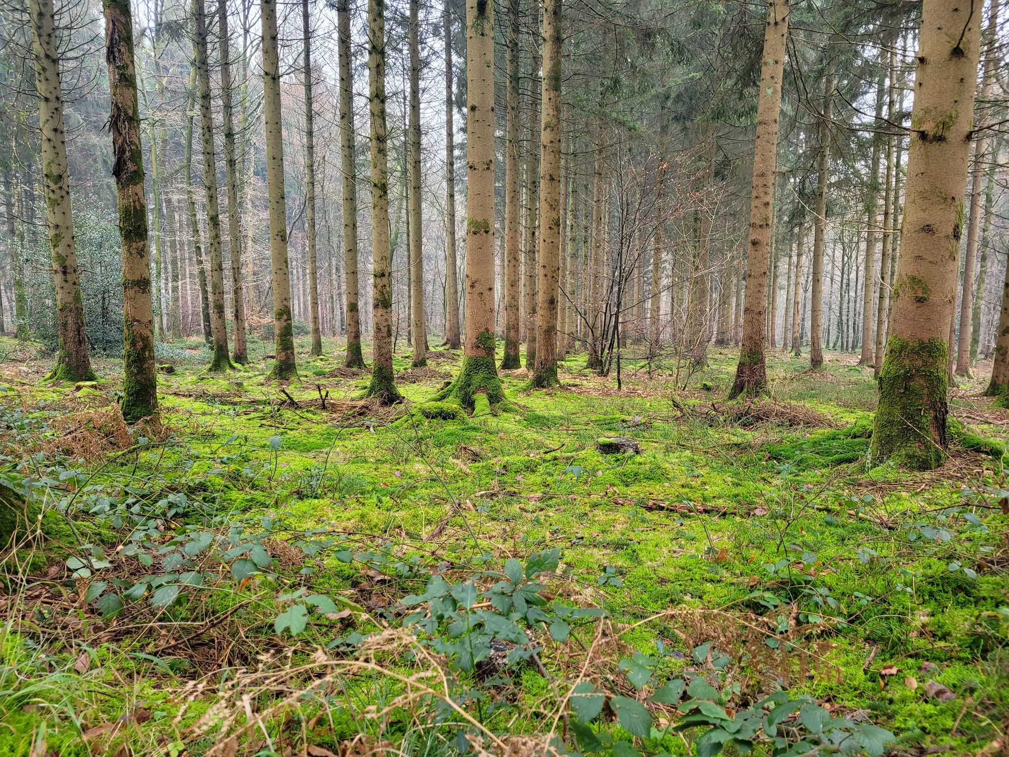
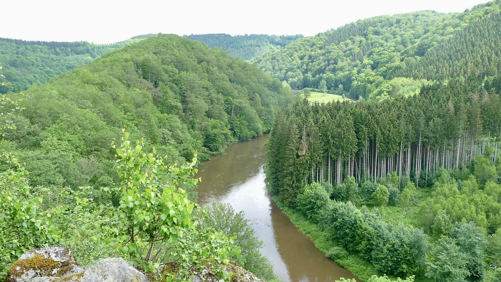
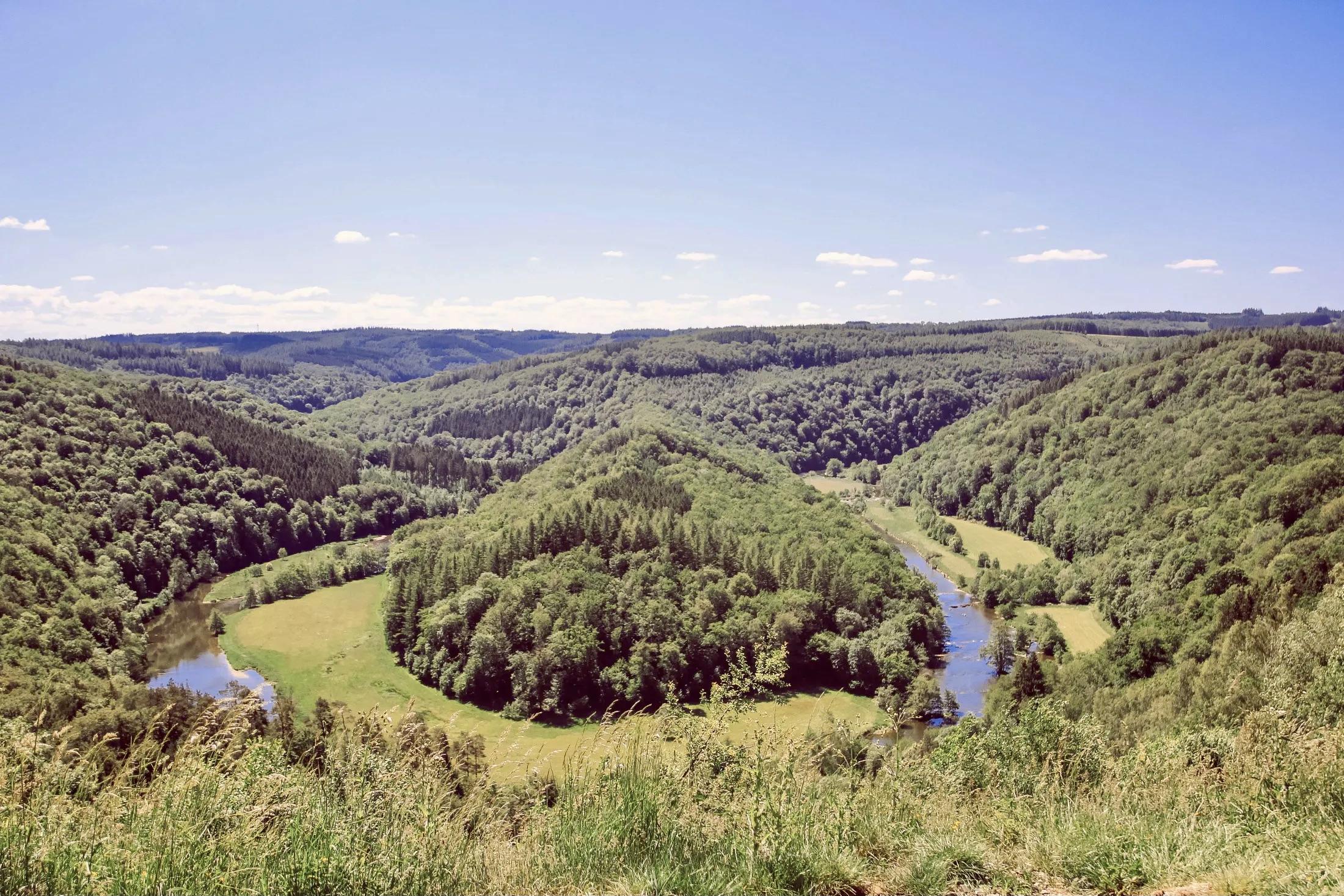
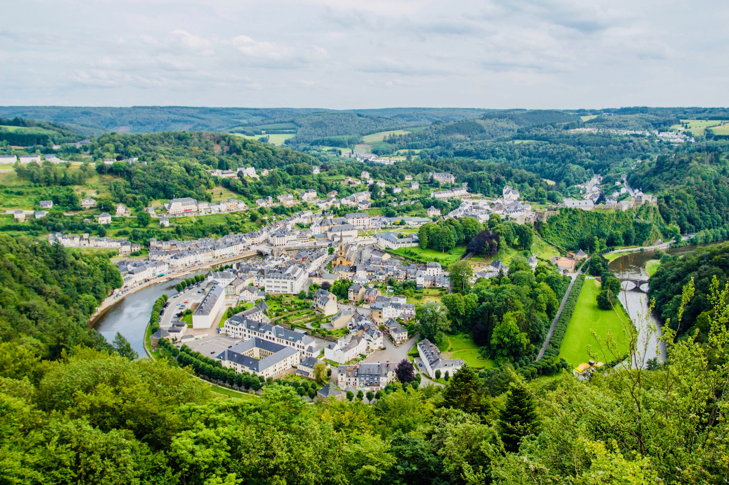
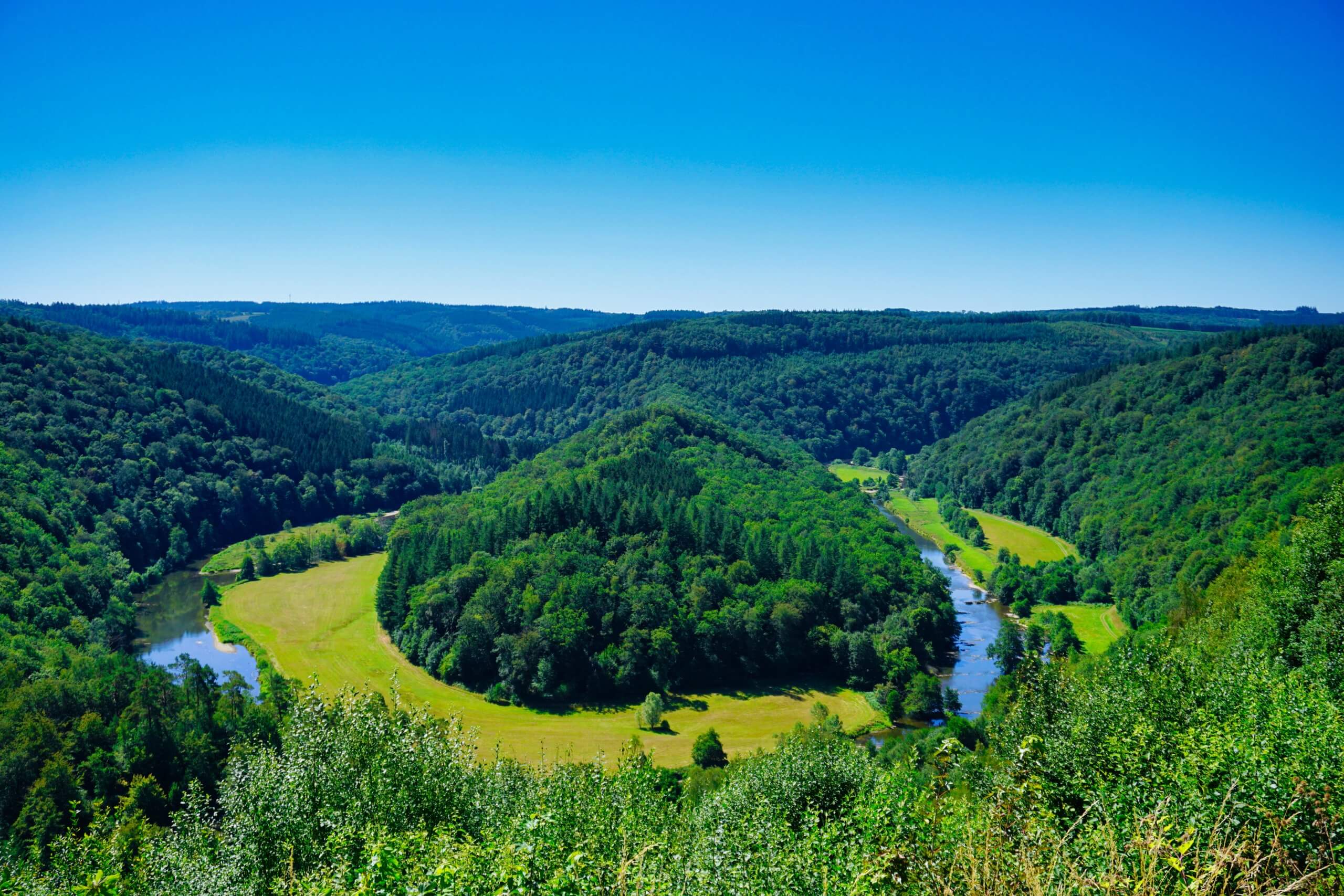
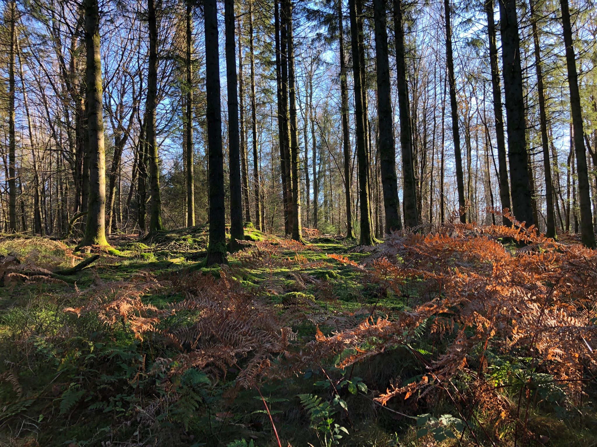
Nice walk in the forest of Sedan, notably crossing the Givonne twice. Located very close to the Belgian border, this walk makes a loop on various and varied paths, offering a pleasant and relaxing setting.

Already more than 200,000 users!
Uphill
264m
Highest point
429m
Downhill
264m
Lowest point
257m
Route type
Loop
Download the map on your smartphone to save battery and rest assured to always keep access to the route, even without signal.
Includes IGN France and Swisstopo.
I indicate whether dogs are allowed or prohibited on this trail
All year
0 ratings
Also enjoy:

Already more than 200,000 users!