Uphill
358m
Length
12km
Duration
4h
Elev gain
358m
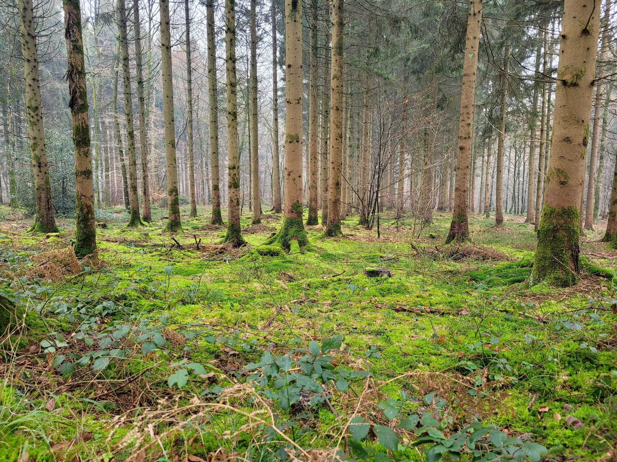
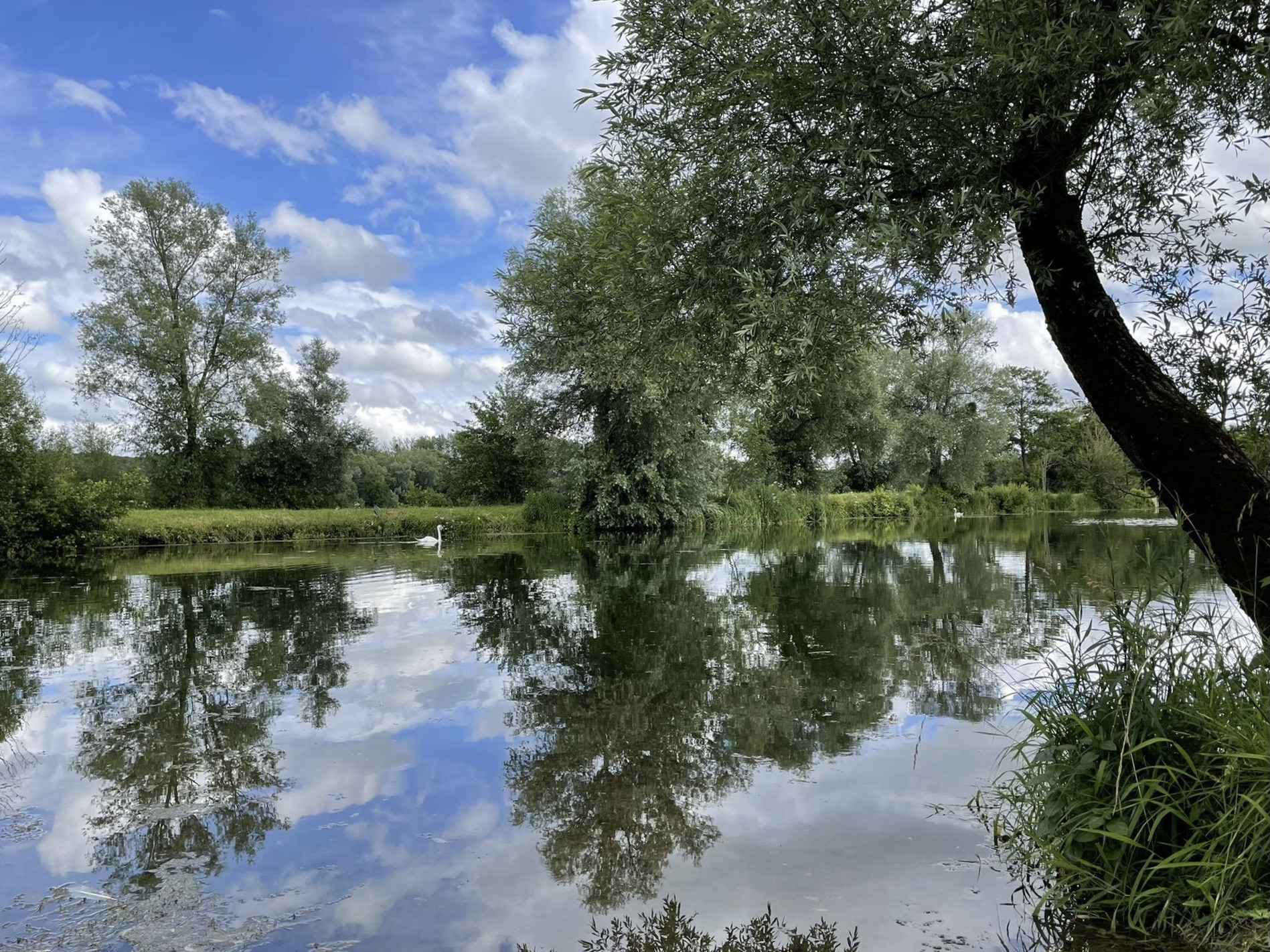
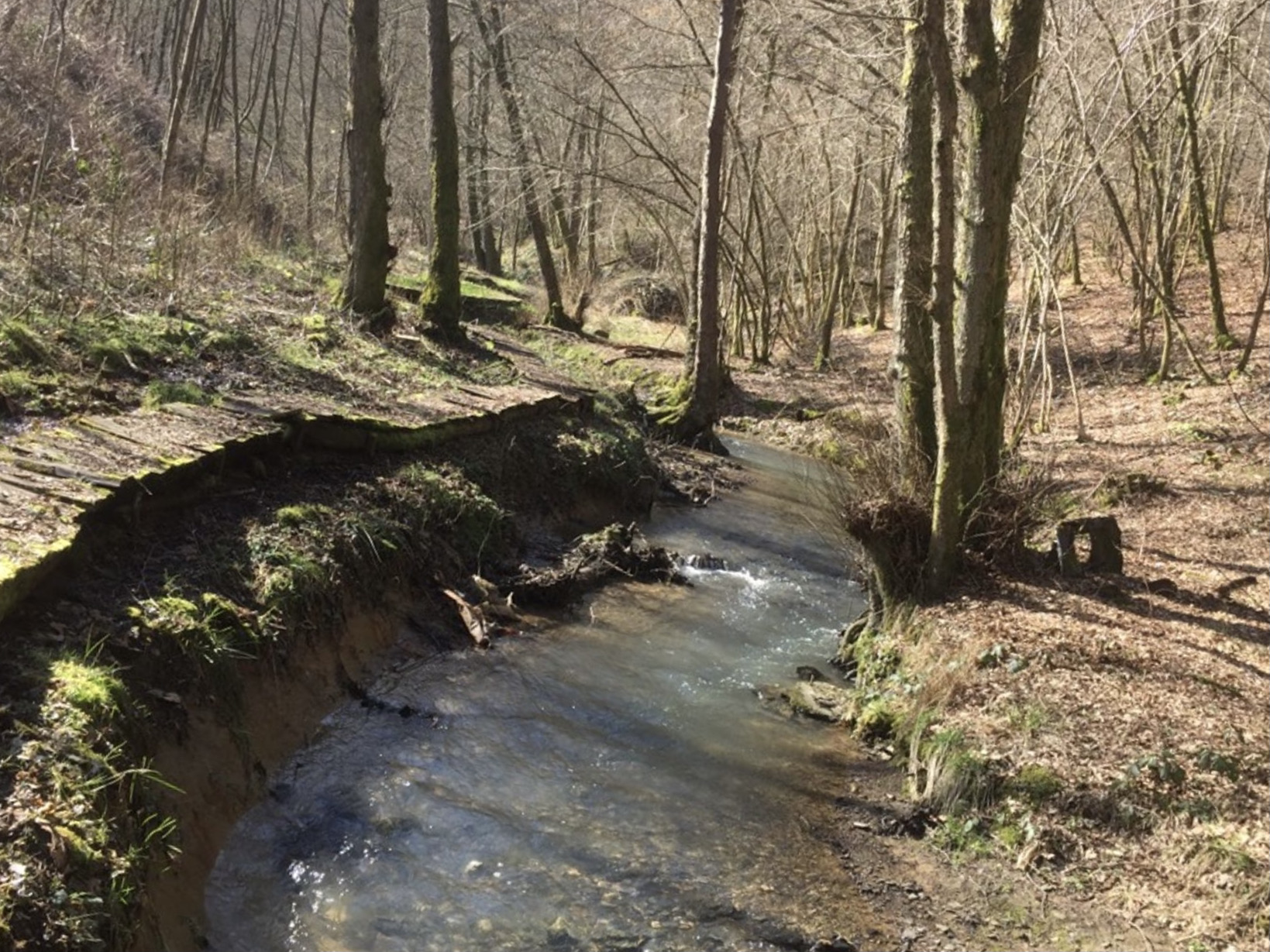
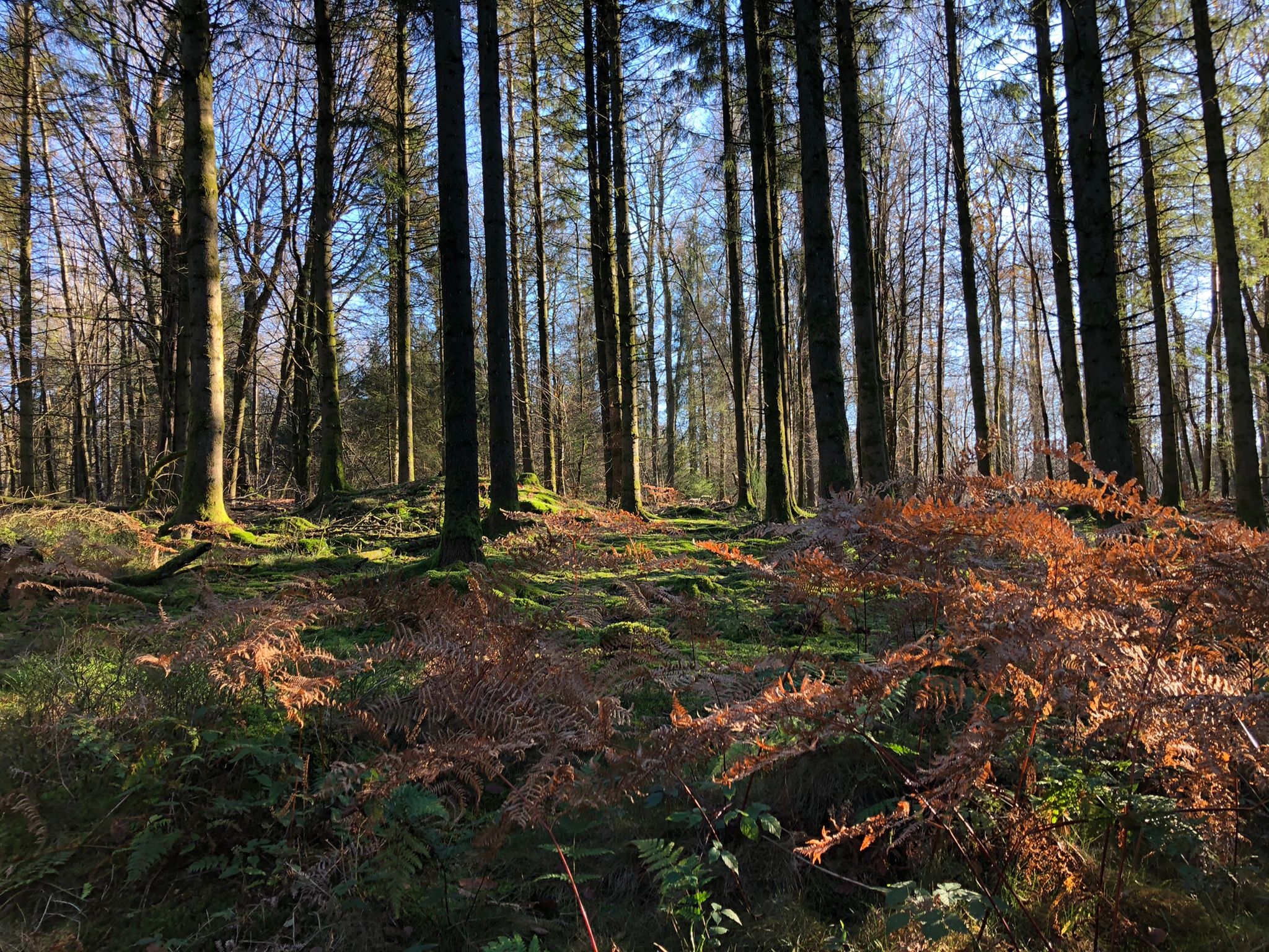
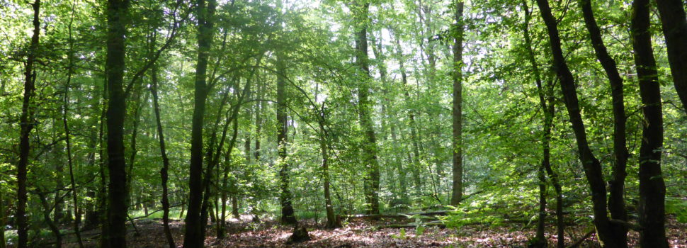
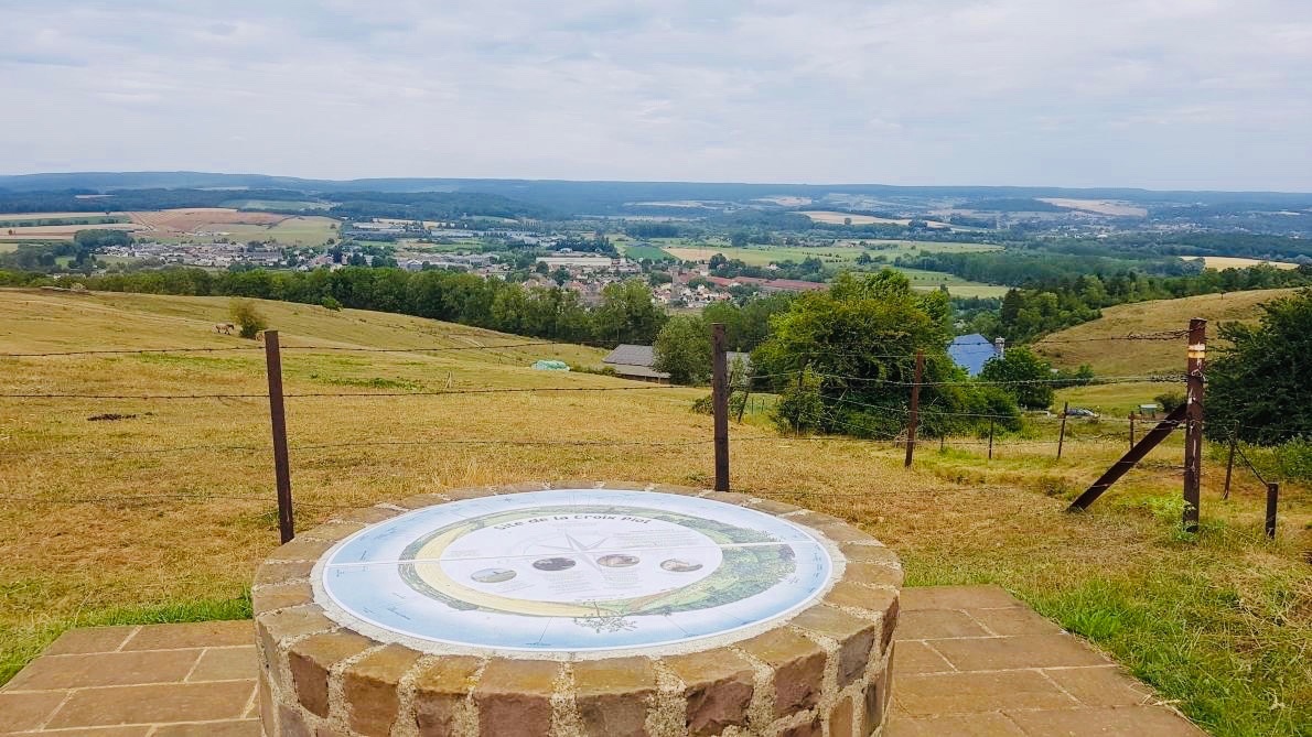
Superb walk on the Piot cross path, a place marked by history which offers superb panoramic views of the Meuse and Bar valleys.

Already more than 200,000 users!
Uphill
358m
Highest point
300m
Downhill
358m
Lowest point
143m
Route type
Loop
Download the map on your smartphone to save battery and rest assured to always keep access to the route, even without signal.
Includes IGN France and Swisstopo.
I indicate whether dogs are allowed or prohibited on this trail
All year
1 rating
Also enjoy:

Already more than 200,000 users!