Uphill
202m
Length
9km
Duration
2h30min
Elev gain
202m
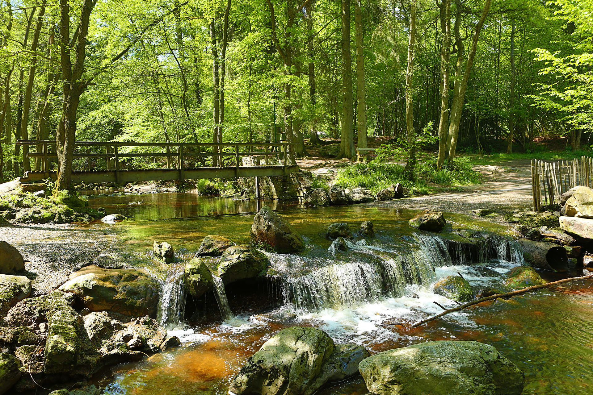
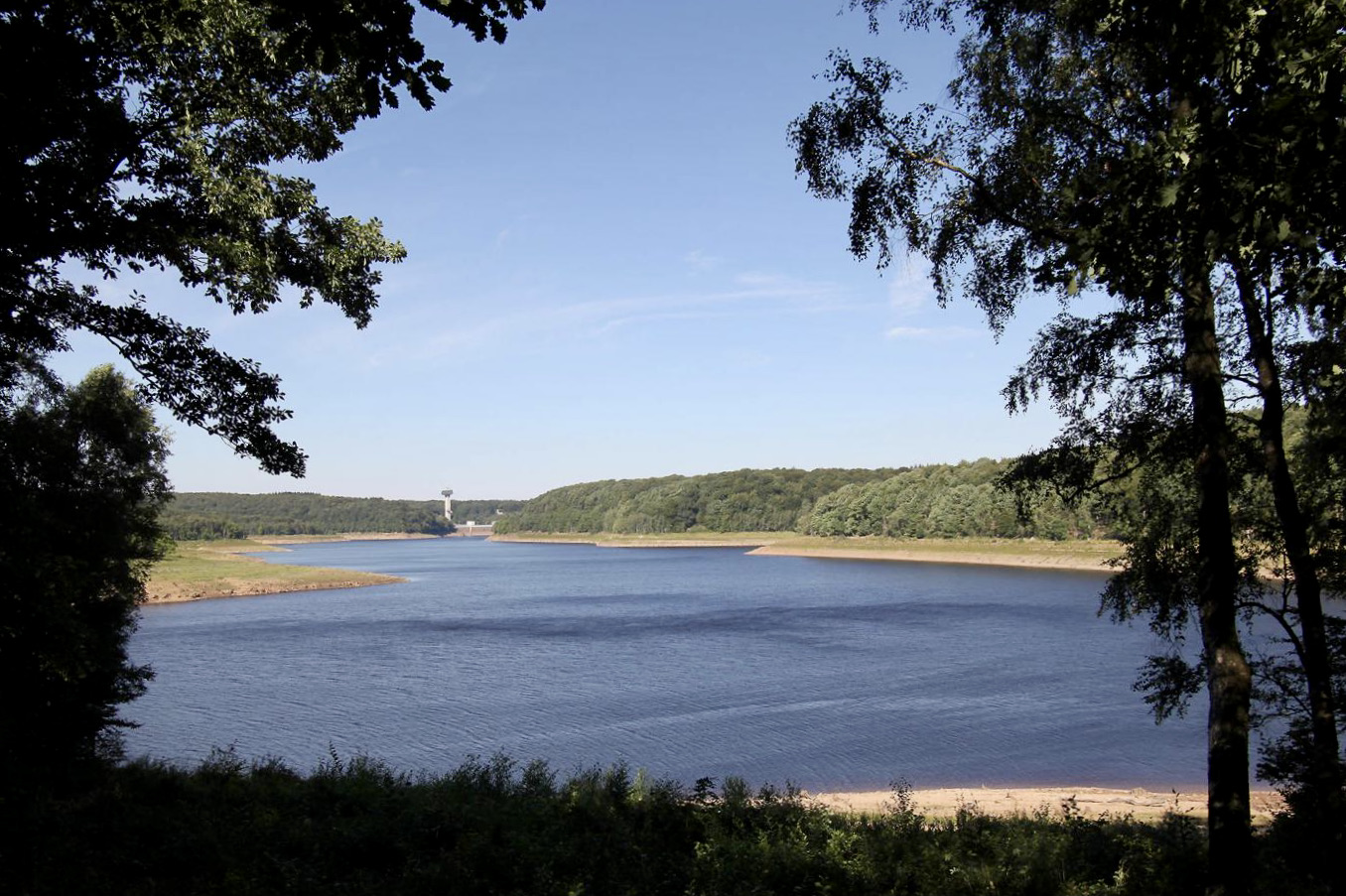
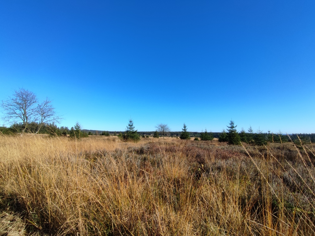
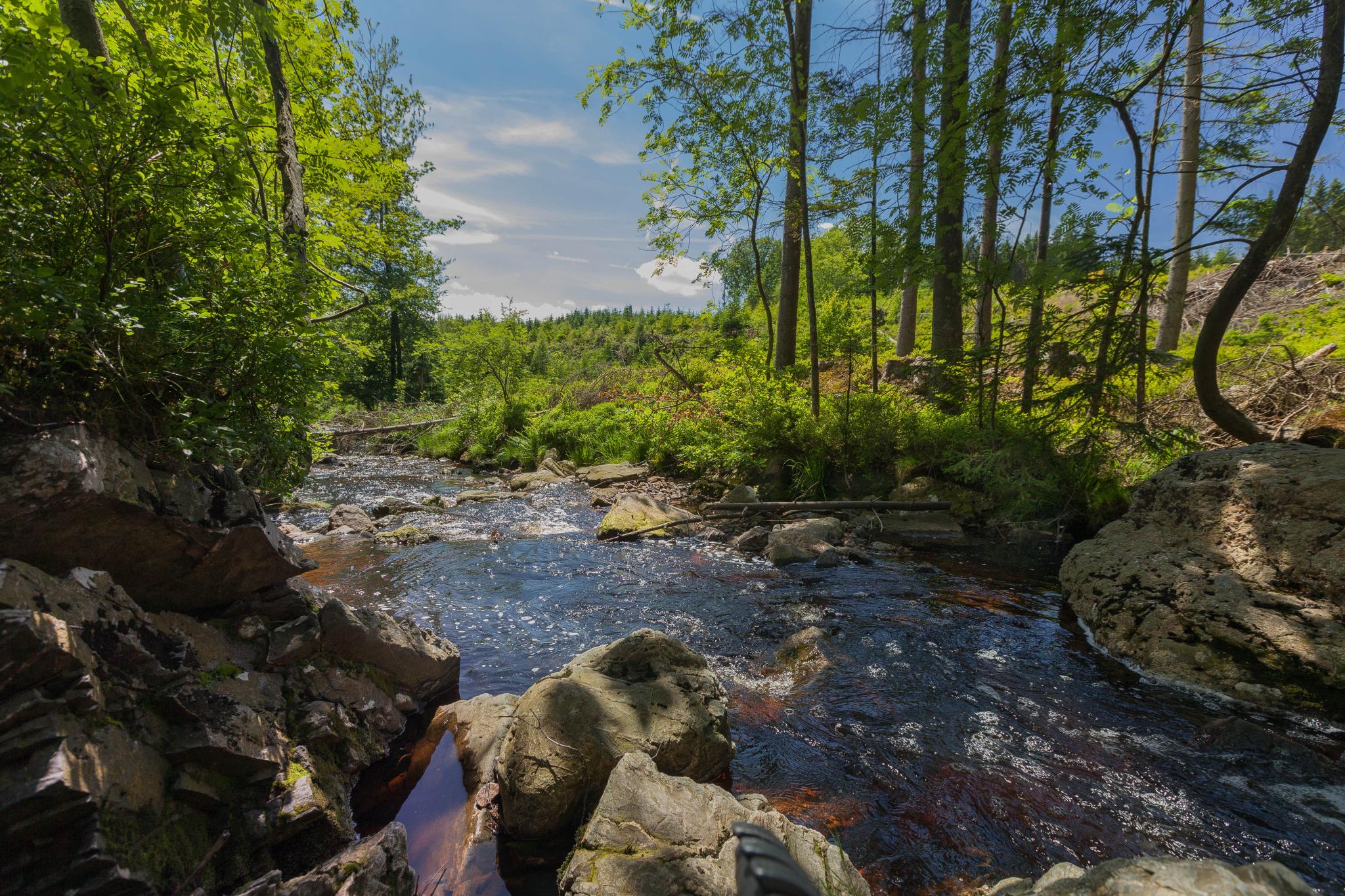
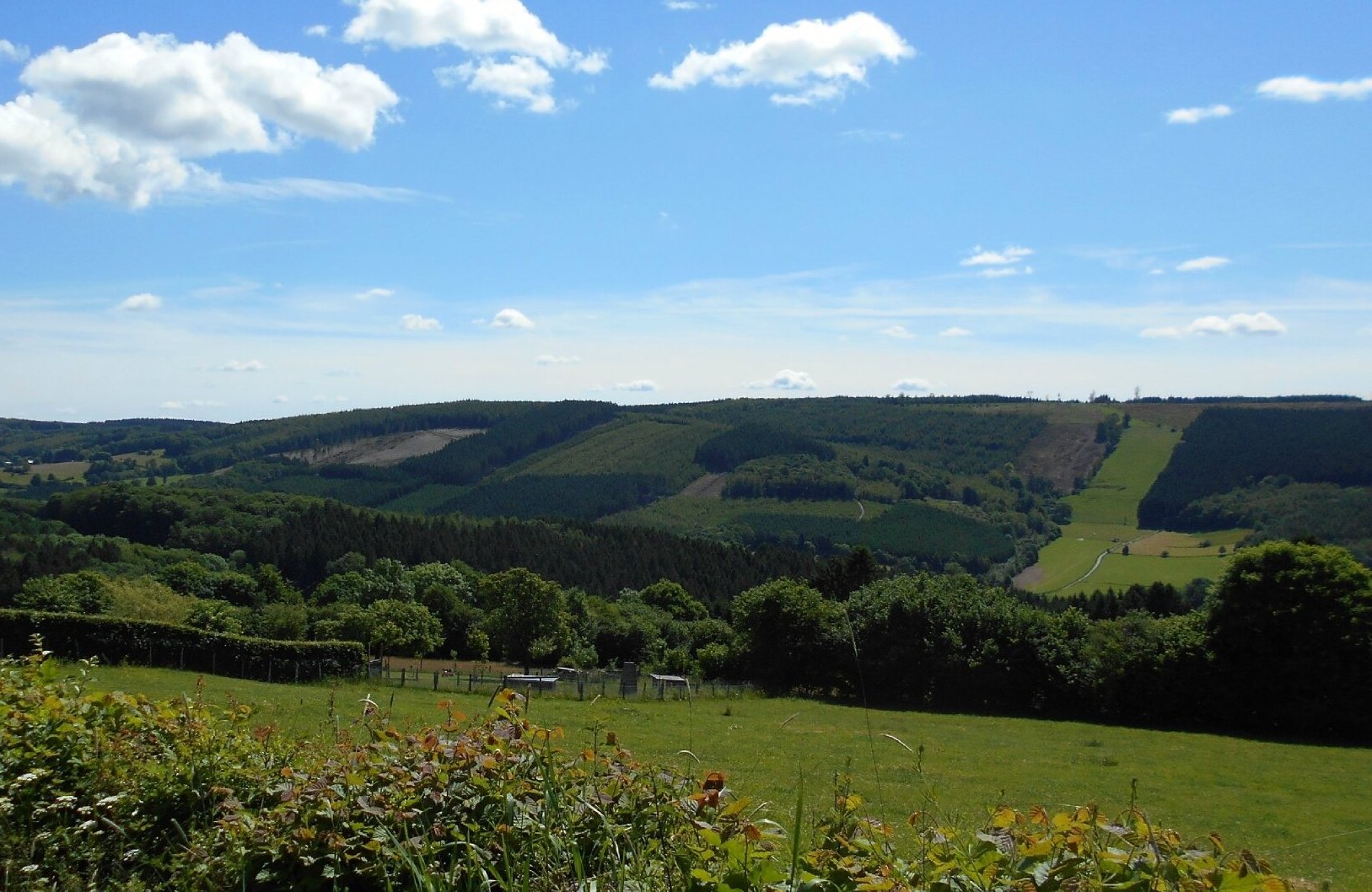
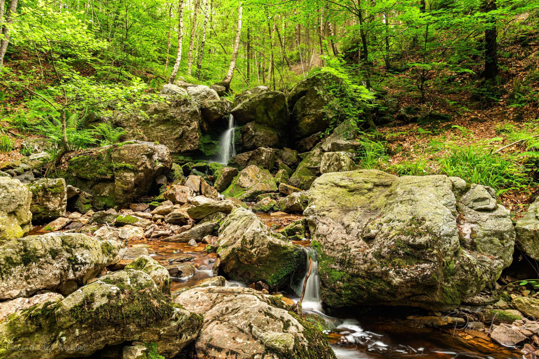
Here is a popular hike in the Jalhay area. Departing from Solwaster, this course sails through superb diverse and varied landscapes, where the view of the valley is magnificent. The path runs along a pretty river then joins the charming Nutons waterfall. You then have to return to the starting point by following the river and then crossing a wood.
In summer, it is possible to swim in the river. So, what are we waiting for?

Already more than 200,000 users!
Uphill
202m
Highest point
521m
Downhill
202m
Lowest point
357m
Route type
Loop
Download the map on your smartphone to save battery and rest assured to always keep access to the route, even without signal.
Includes IGN France and Swisstopo.
I indicate whether dogs are allowed or prohibited on this trail
All year
10 ratings
Super trasa. Druga część trasy dość wymagająca ale bardzo piękna
Very nice and varied trail. Pity the app doesn’t show the tail and advancing on Apple Watch. Amazing day, with dreaming atmospheres. Bit chilly so choose a sunny day!
Also enjoy:

Already more than 200,000 users!