Uphill
173m
Length
7km
Duration
2h30min
Elev gain
173m
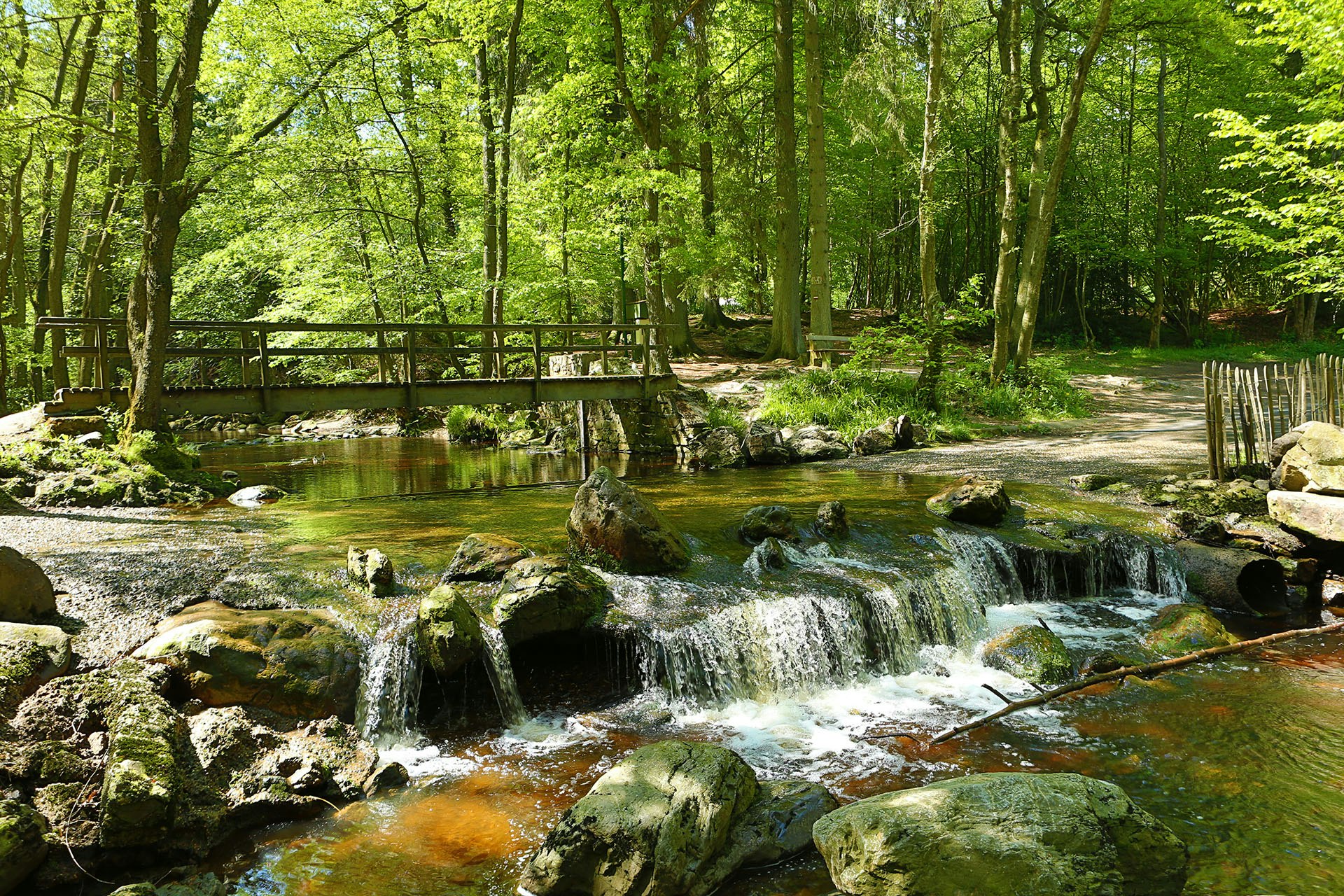
Here is a nice hike at the rhythm of the river. This route takes place in the valley of the Hoëgne, a Belgian river and a tributary of the Vesder. The path makes a loop at the water's edge, sometimes crossing small bridges in a natural and exotic environment.

Already more than 200,000 users!
Uphill
173m
Highest point
516m
Downhill
173m
Lowest point
363m
Route type
Loop
Download the map on your smartphone to save battery and rest assured to always keep access to the route, even without signal.
Includes IGN France and Swisstopo.
I indicate whether dogs are allowed or prohibited on this trail
All year
6 ratings
Also enjoy:

Already more than 200,000 users!


