Uphill
221m
Length
12km
Duration
3h30min
Elev gain
221m
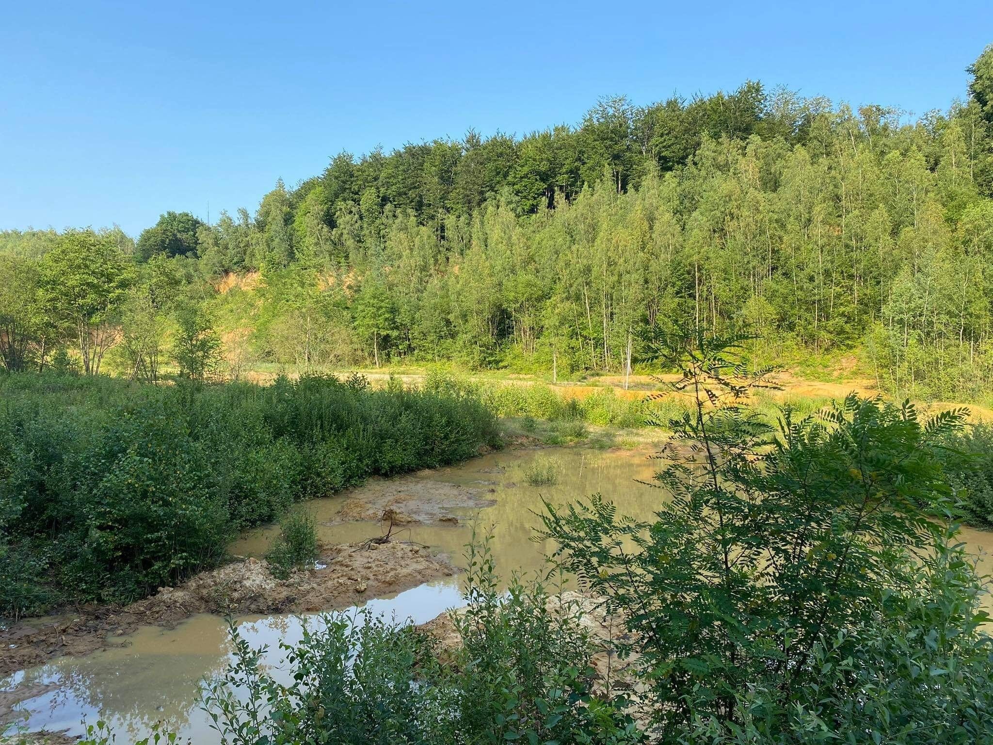
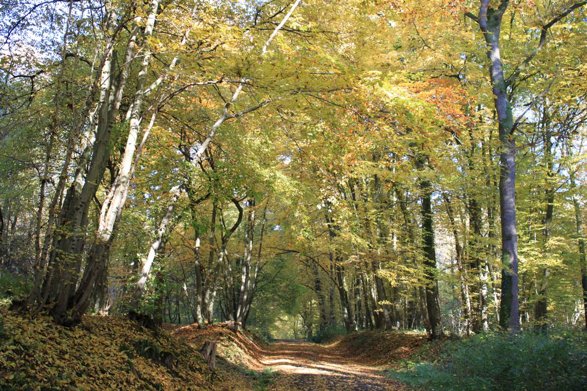
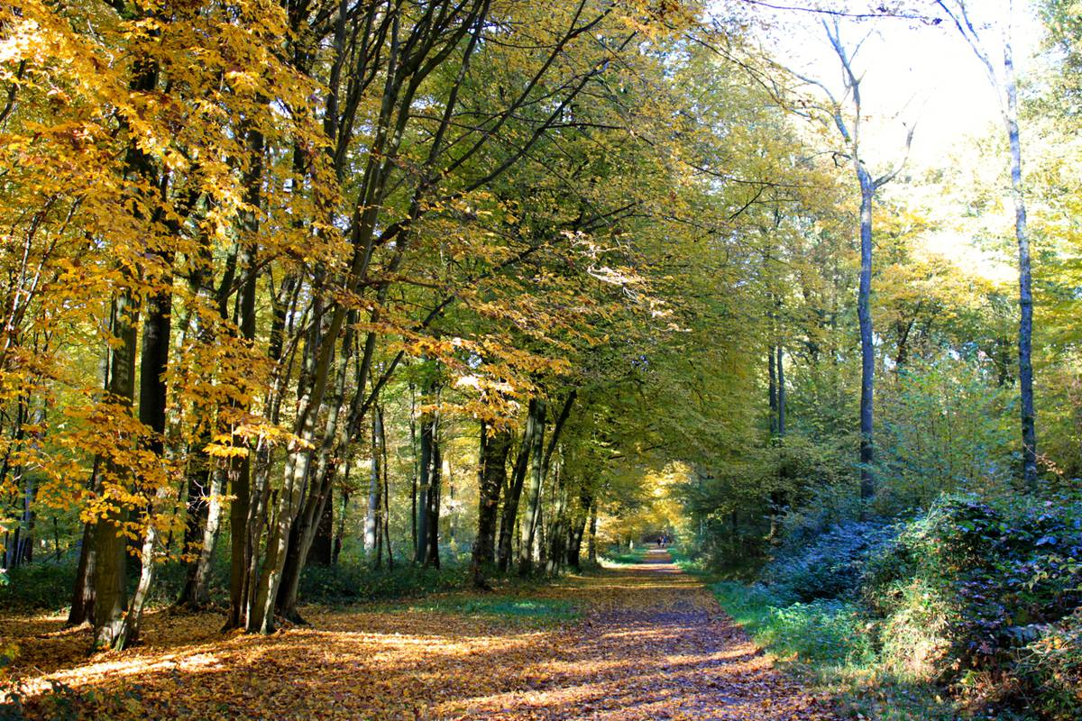
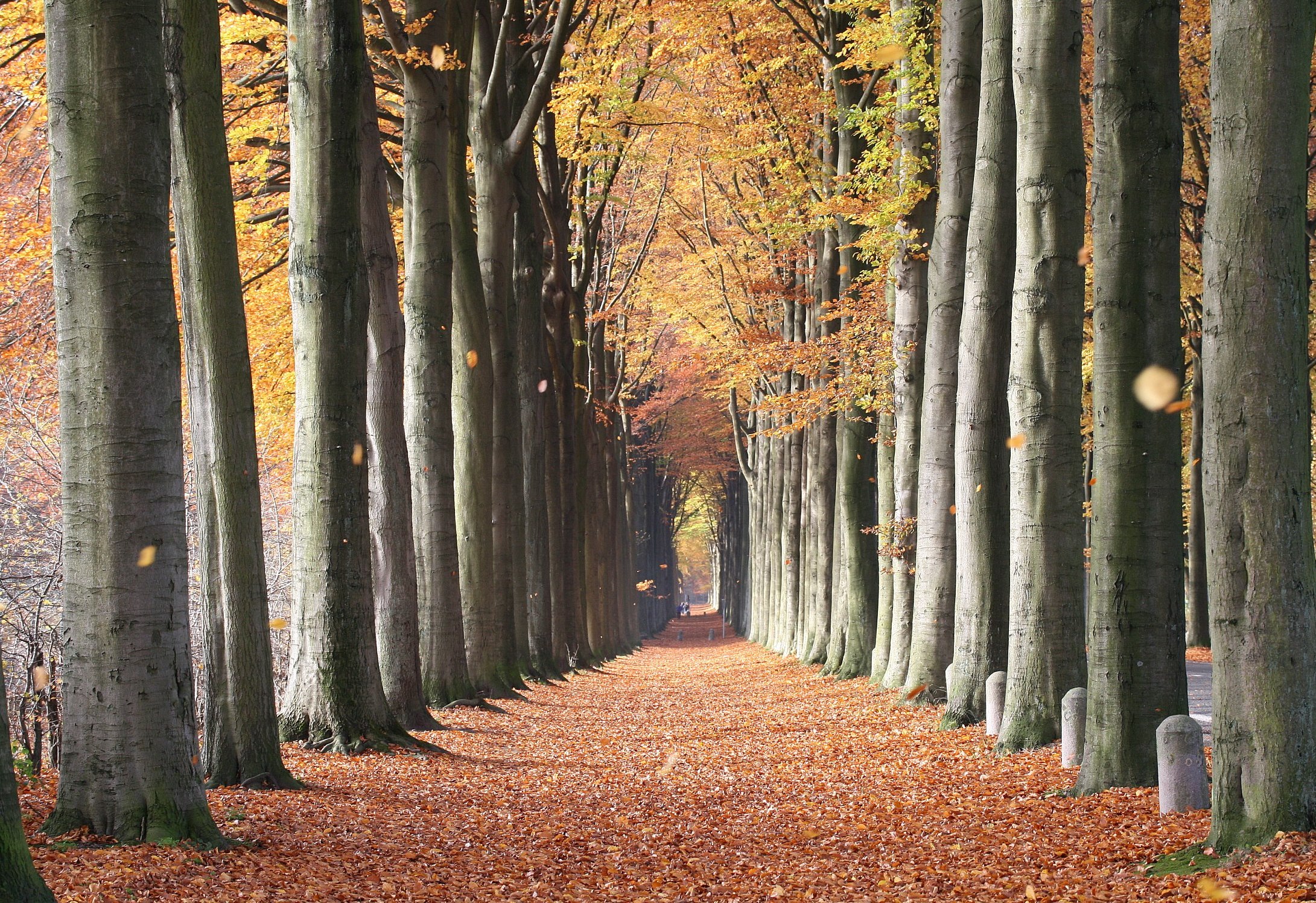
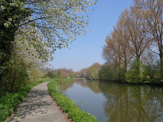
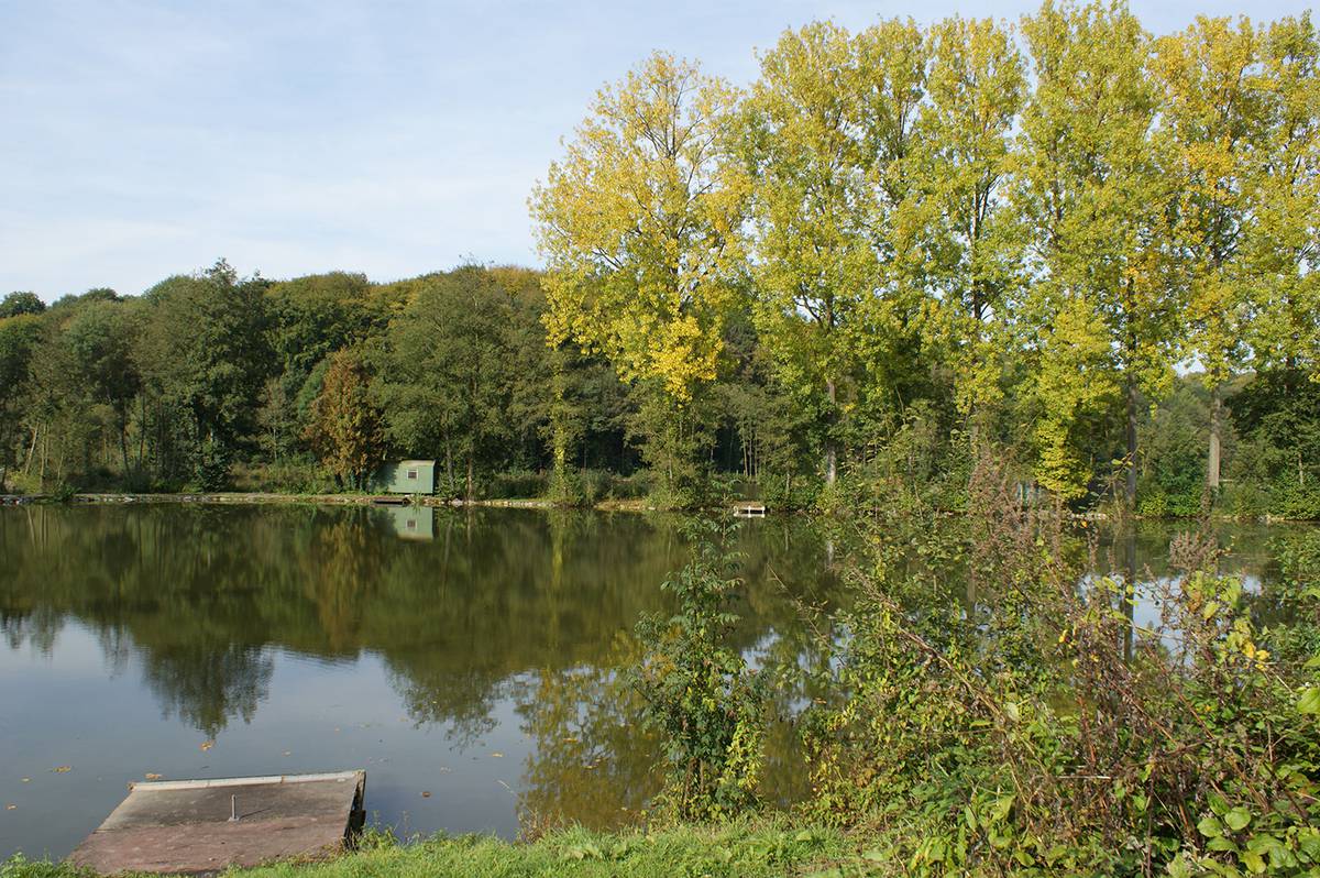
Departing from the Abbey of Saint-Denis, this hike takes place in a superb natural setting. Between fields, forests and ponds, the path joins the Château de Thieusies halfway through, then continues through the middle of the fields before returning to the starting point along the Saint-Denis ponds.

Already more than 200,000 users!
Uphill
221m
Highest point
128m
Downhill
221m
Lowest point
44m
Route type
Loop
Download the map on your smartphone to save battery and rest assured to always keep access to the route, even without signal.
Includes IGN France and Swisstopo.
Parking at the start of the hike, nearby the Abbey of Saint-Denis.
Gare d'Obourg nearby.
I indicate whether dogs are allowed or prohibited on this trail
All year
1 rating
Also enjoy:

Already more than 200,000 users!