Uphill
81m
Belgium > Wallonia > Hainaut > Hauts-Pays Nature Park
Length
7km
Duration
2h
Elev gain
81m
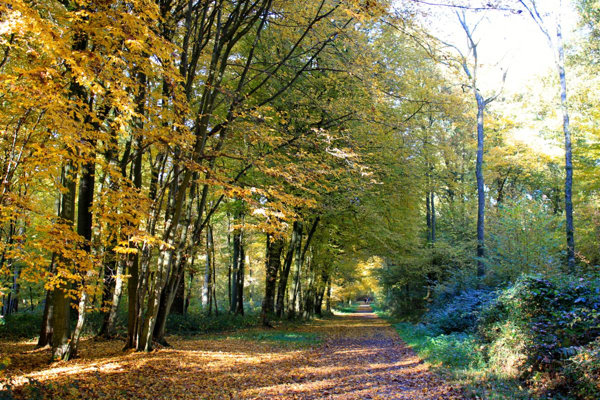
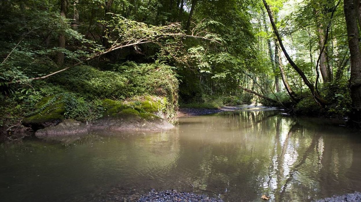
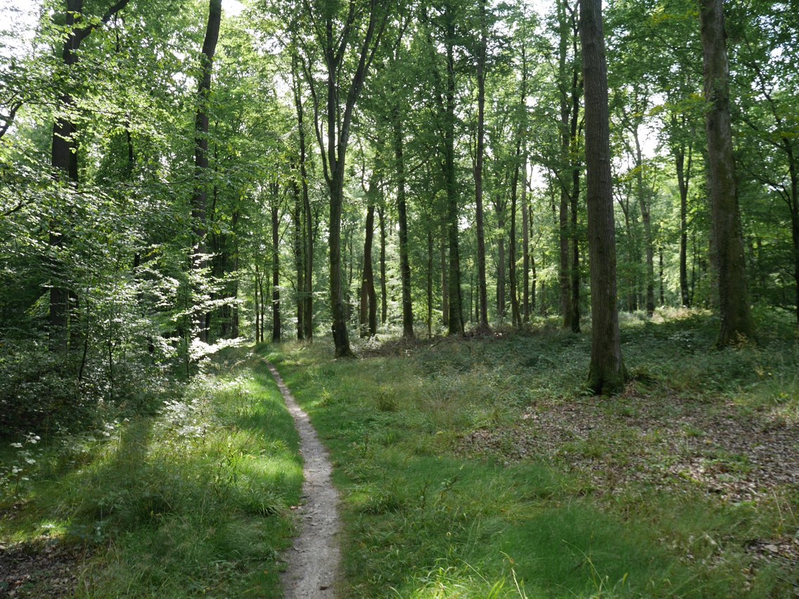
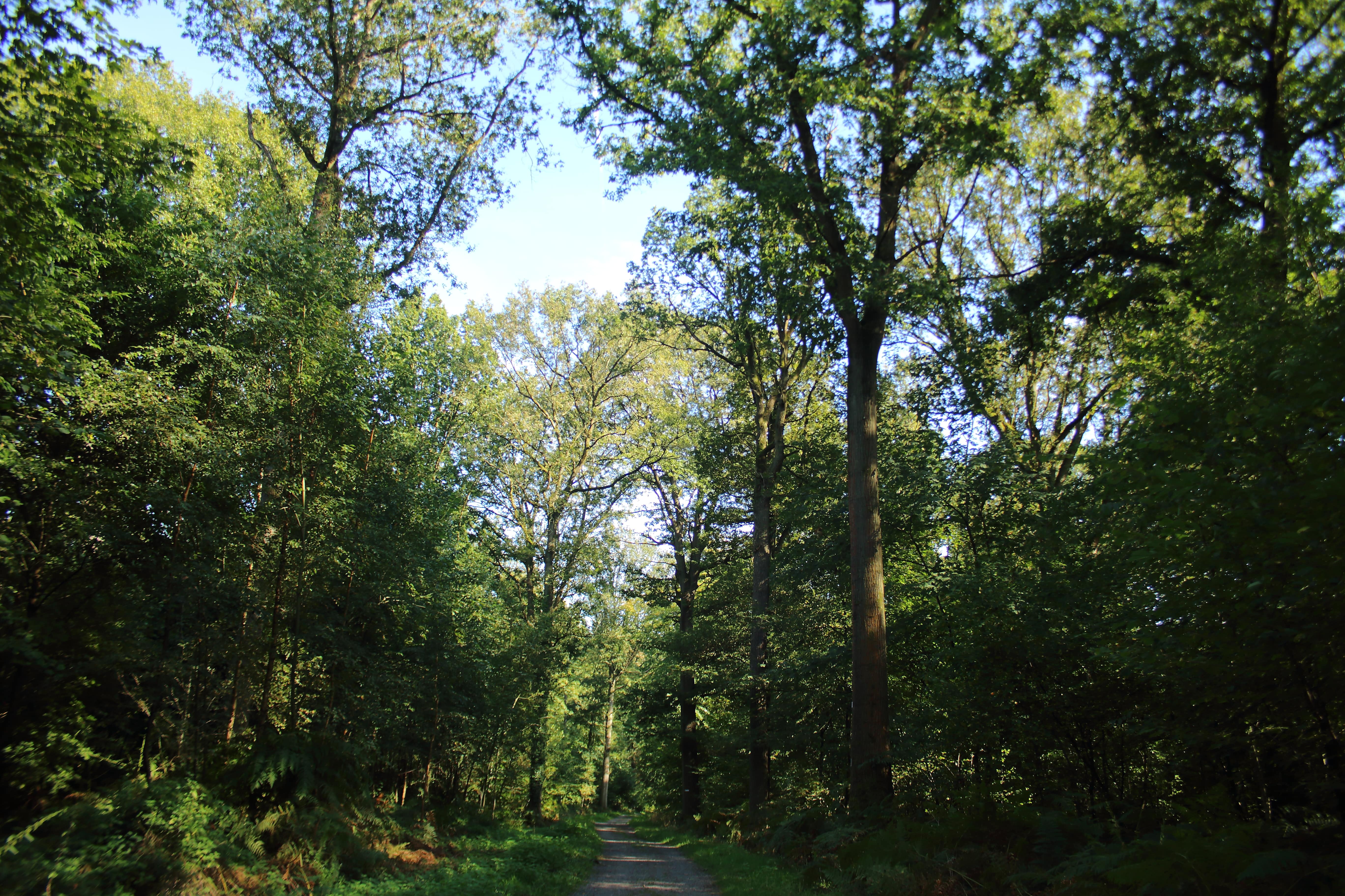
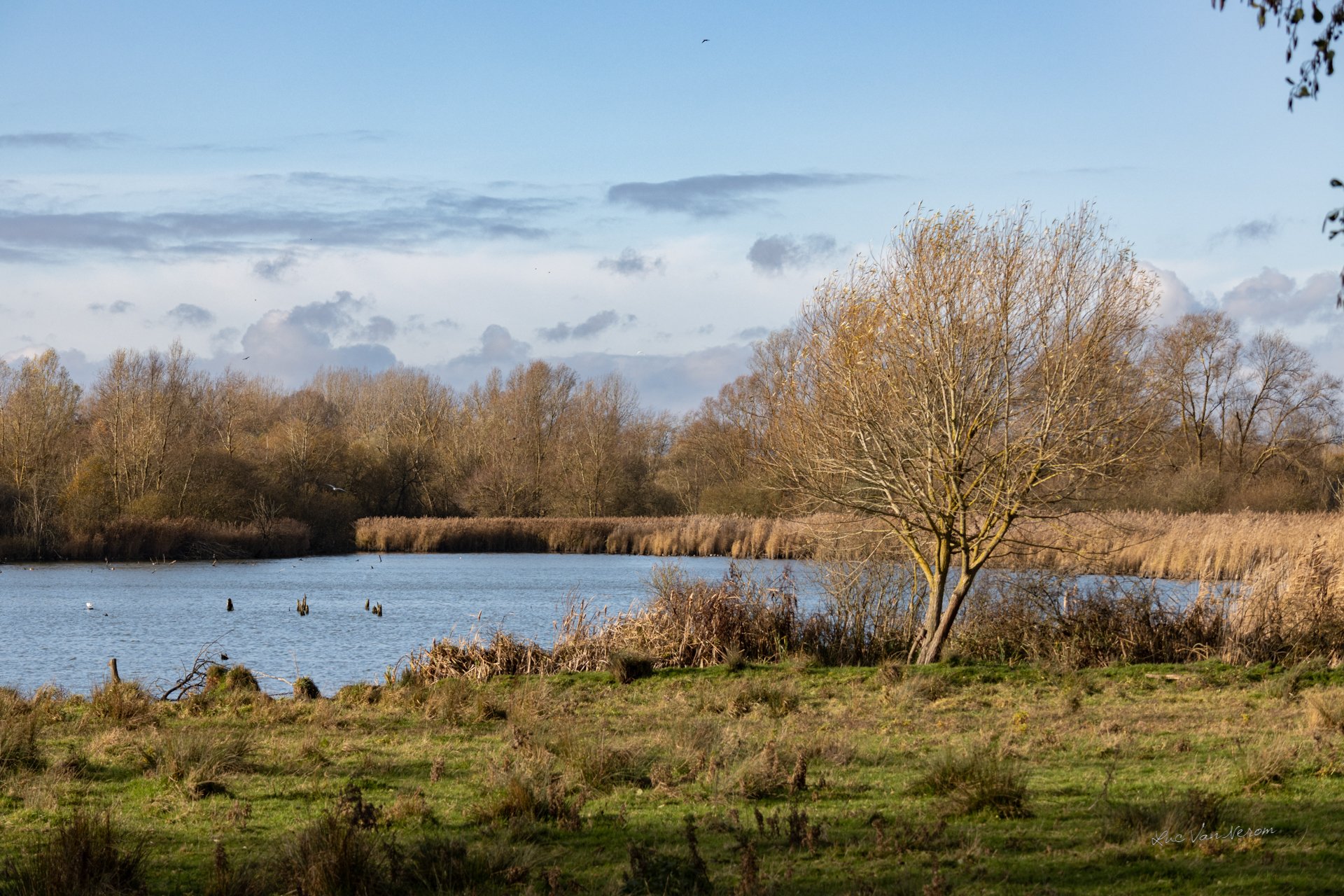
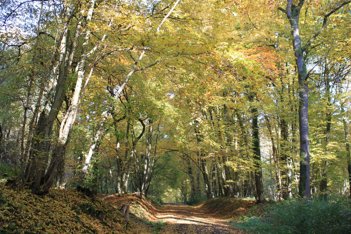
Nice walk in the woods of Colfontaine, a magnificent place listed among the sites of the Hauts-Pays natural park. The route mainly follows forest paths.

Already more than 200,000 users!
Uphill
81m
Highest point
150m
Downhill
81m
Lowest point
63m
Route type
Loop
Download the map on your smartphone to save battery and rest assured to always keep access to the route, even without signal.
Includes IGN France and Swisstopo.
I indicate whether dogs are allowed or prohibited on this trail
All year
1 rating
Also enjoy:

Already more than 200,000 users!