Uphill
128m
Length
12km
Duration
3h30min
Elev gain
128m
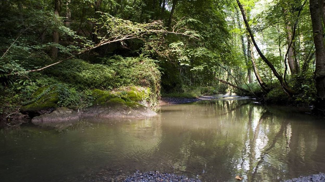
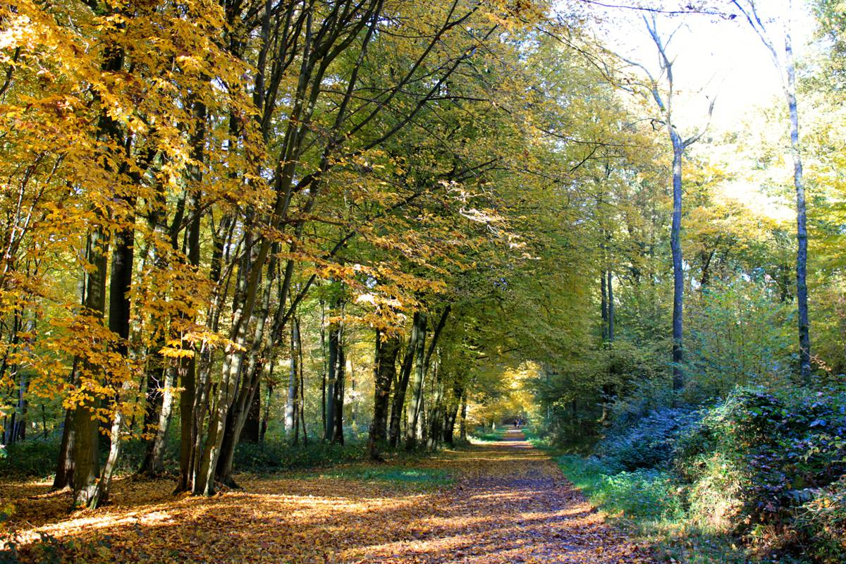
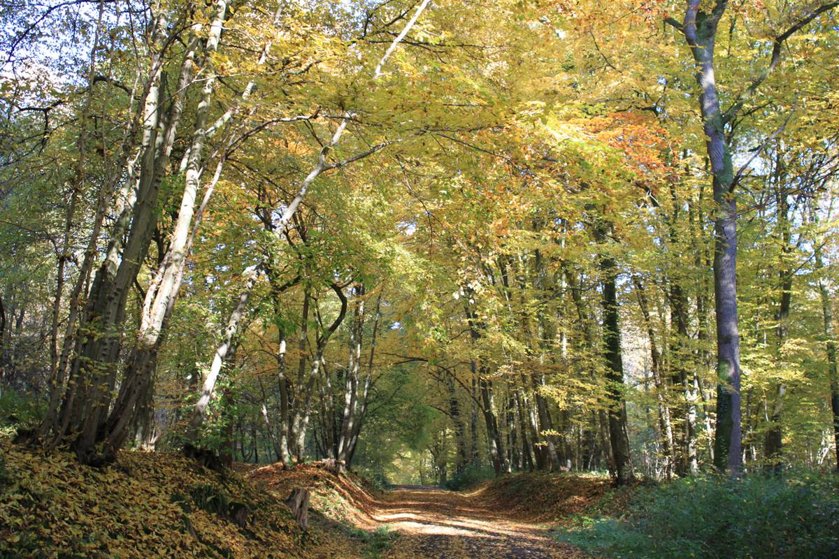
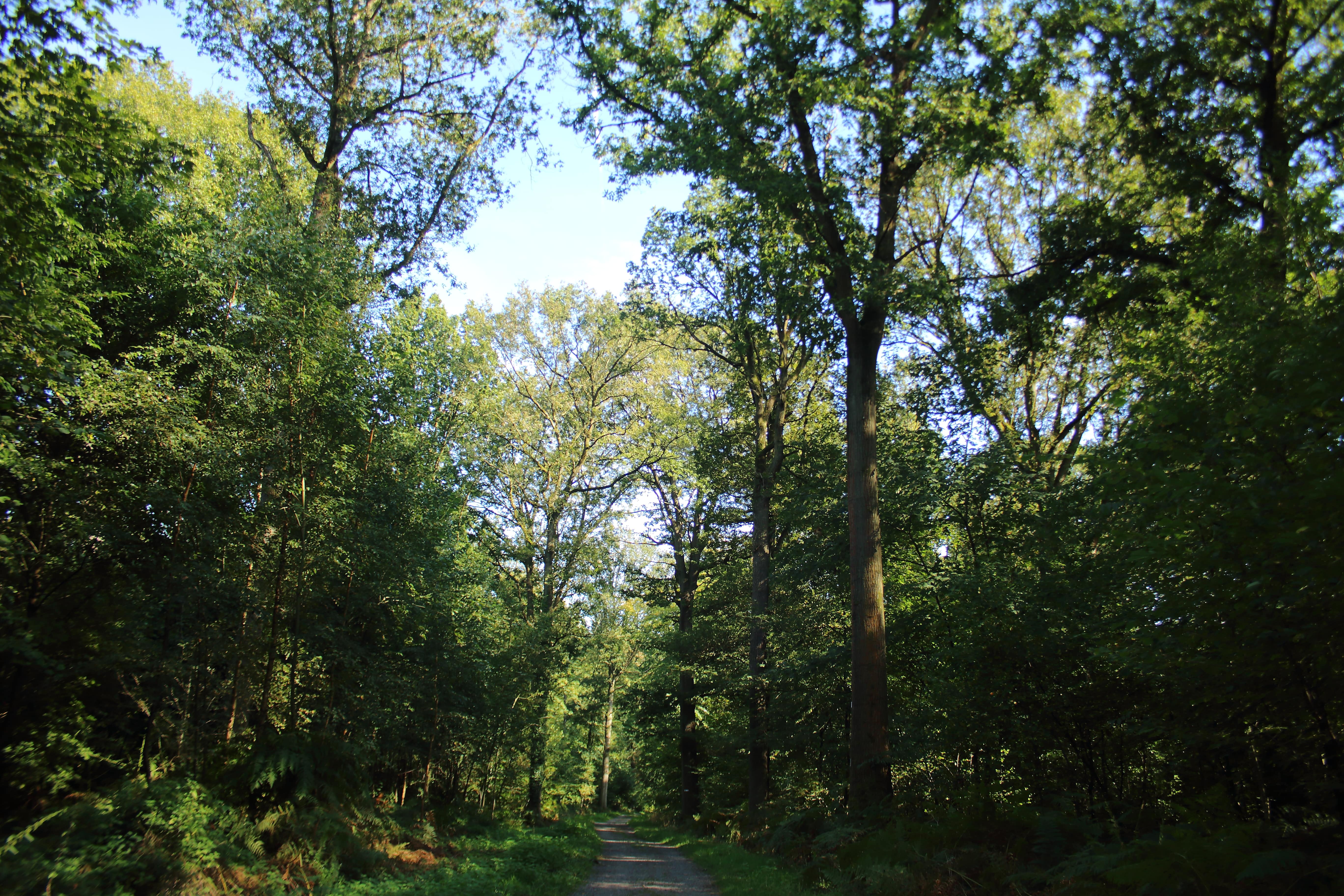
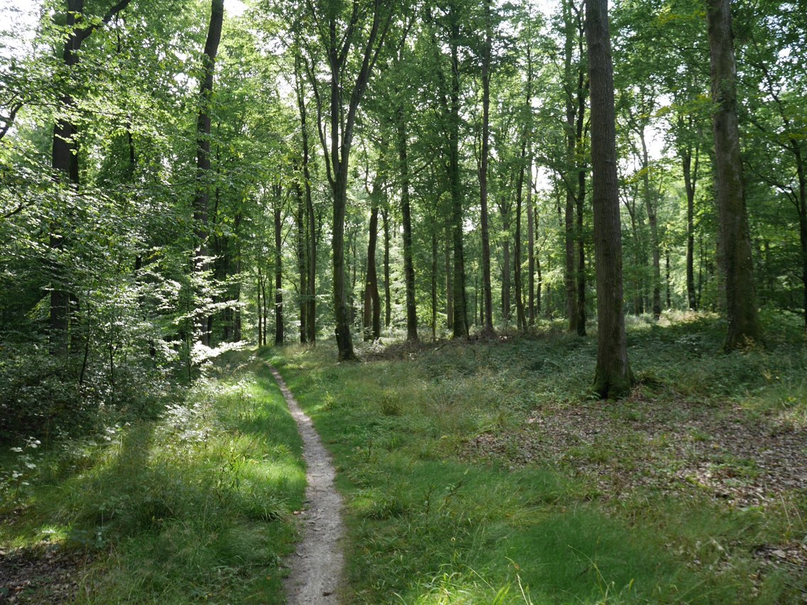
Loop within the largest forest in the département du Nord, known for its oaks, beeches, and its population of deer.

Already more than 200,000 users!
Uphill
128m
Highest point
181m
Downhill
128m
Lowest point
126m
Route type
Loop
Download the map on your smartphone to save battery and rest assured to always keep access to the route, even without signal.
Includes IGN France and Swisstopo.
I indicate whether dogs are allowed or prohibited on this trail
All year
1 rating
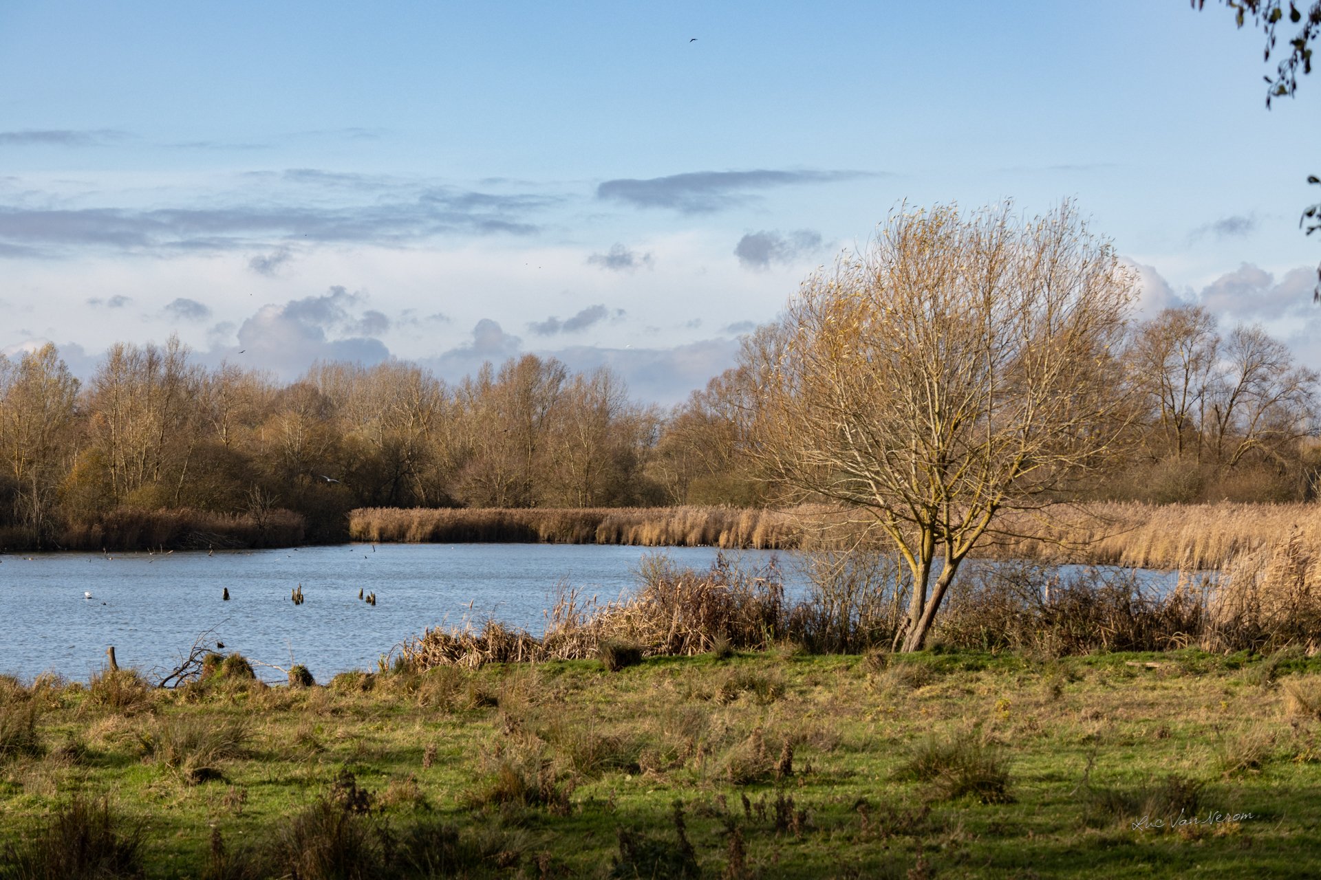
Also enjoy:

Already more than 200,000 users!