Uphill
79m
Length
5km
Duration
1h30min
Elev gain
79m
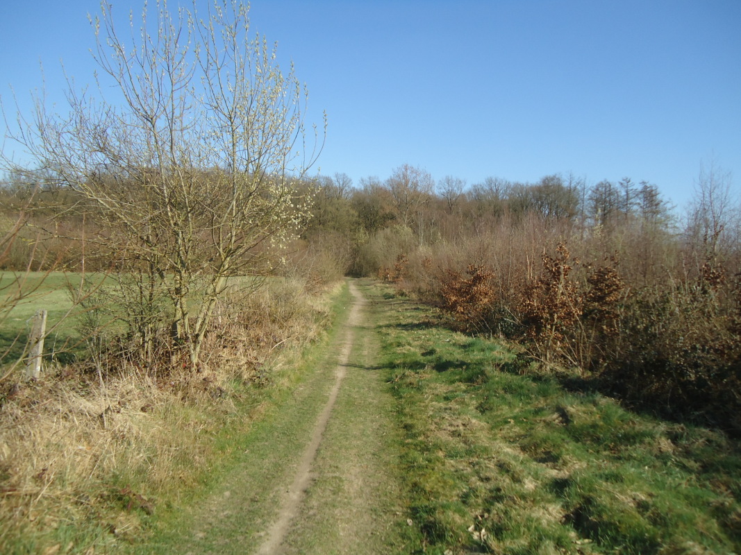
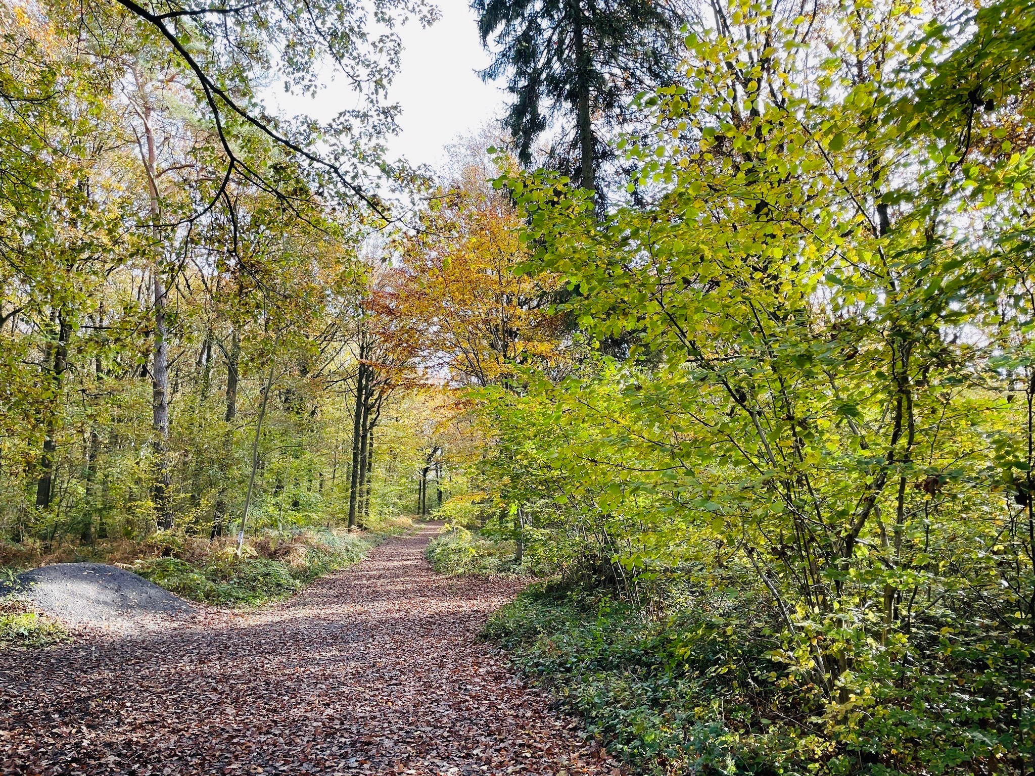
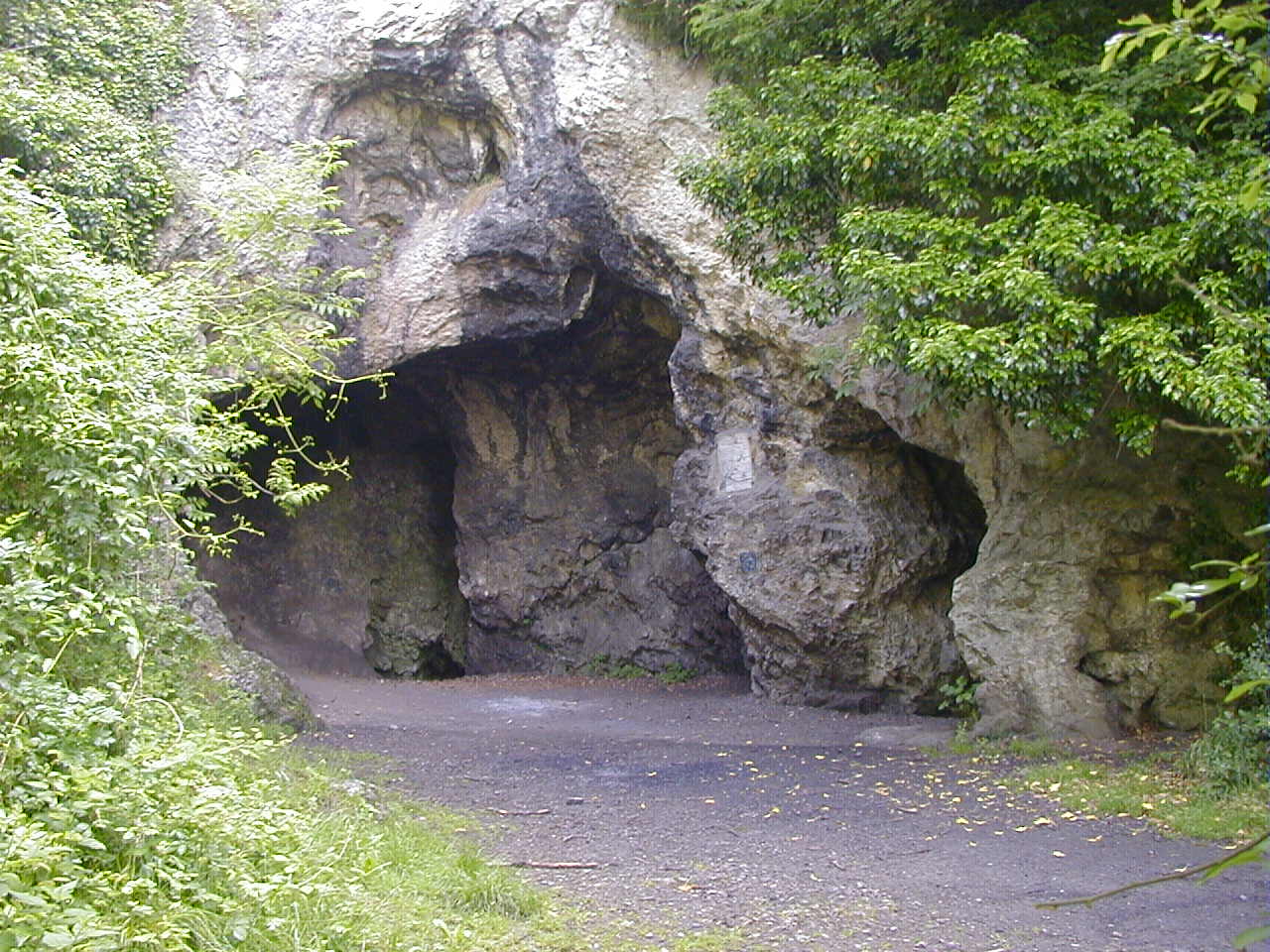
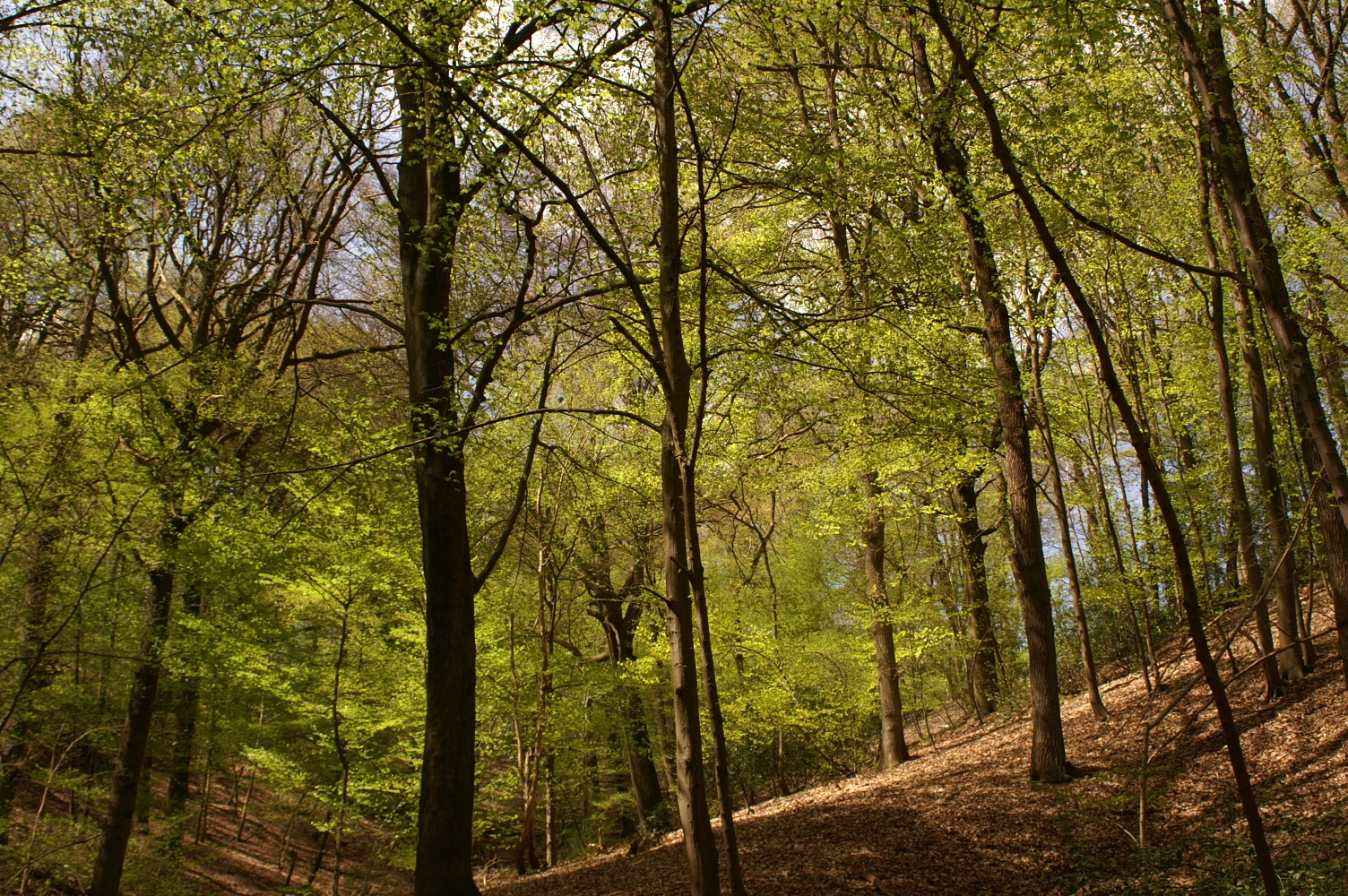
Pretty family walk leading to Fort de Malonne, one of the nine fortresses that made up the fortified position of Namur. The route makes a short loop around the fort through the woods of La Vecquée.

Already more than 200,000 users!
Uphill
79m
Highest point
224m
Downhill
79m
Lowest point
171m
Route type
Loop
Download the map on your smartphone to save battery and rest assured to always keep access to the route, even without signal.
Includes IGN France and Swisstopo.
I indicate whether dogs are allowed or prohibited on this trail
All year
5 ratings
Also enjoy:

Already more than 200,000 users!