Uphill
400m
Length
14km
Duration
4h30min
Elev gain
400m
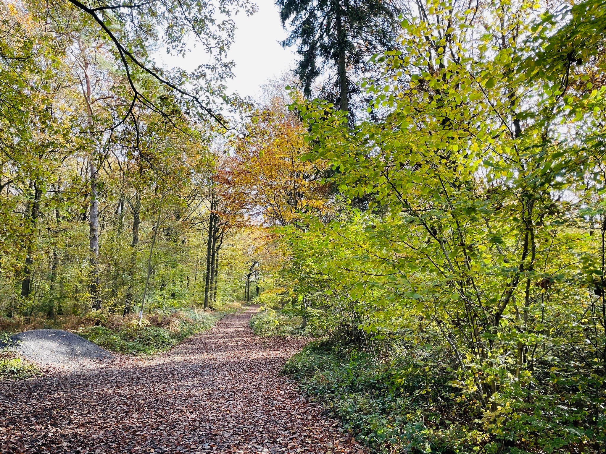
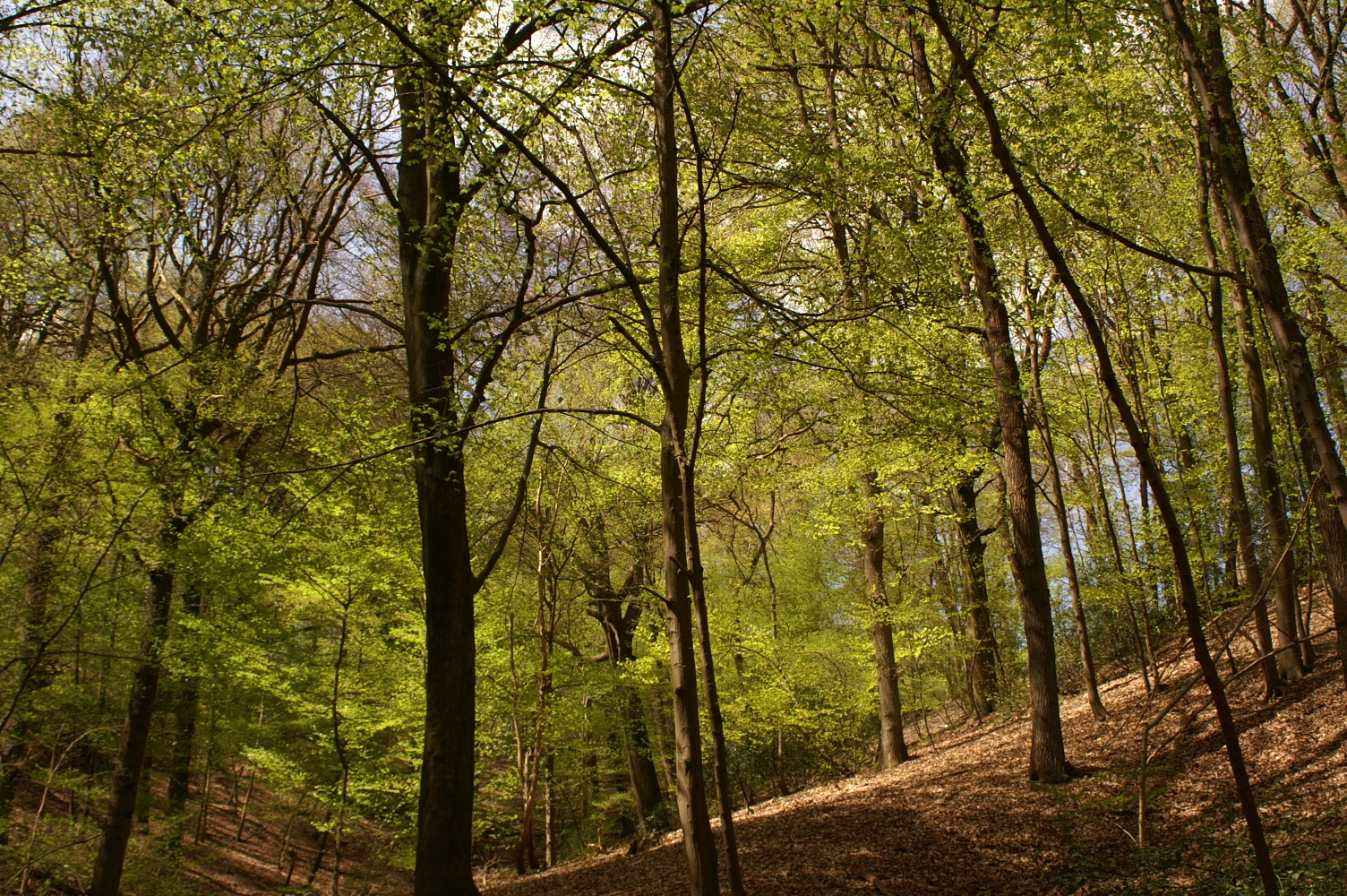
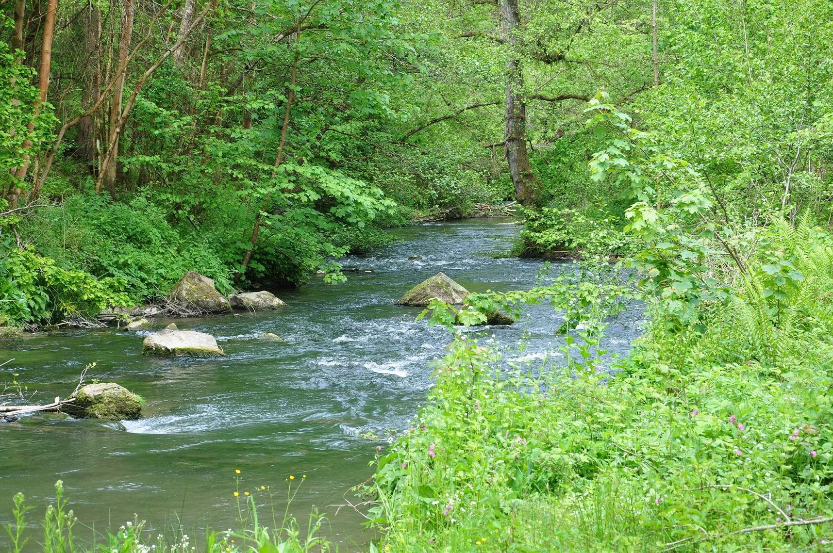
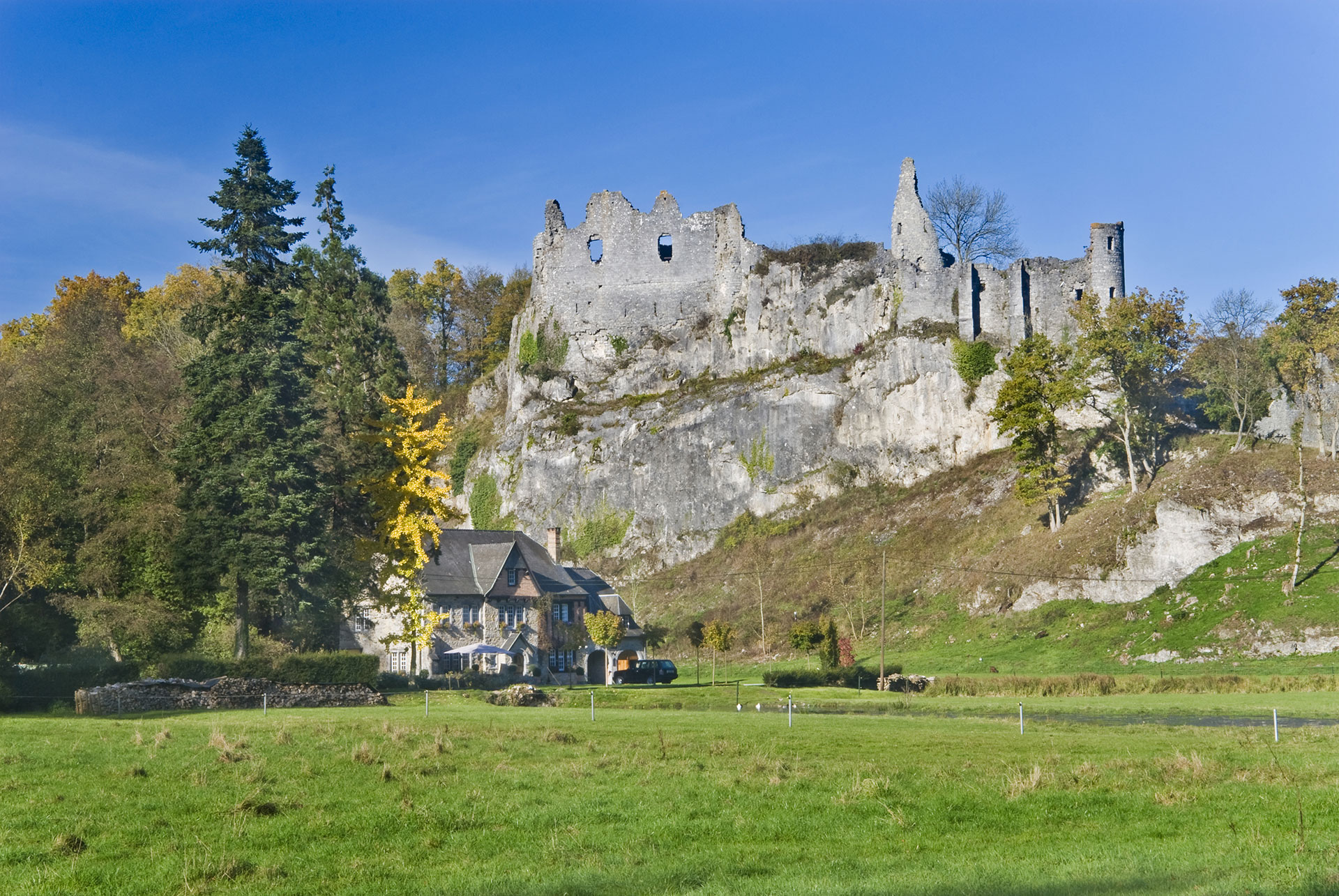
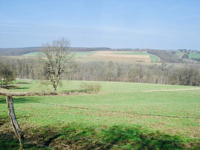
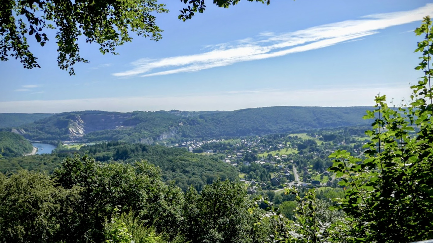
Long and beautiful hike from the forest of Profondeville. The path climbs in the direction of the Meuse, descends in the direction of Profondeville, in order to reach the very beautiful belvedere of Siberia, offering a splendid view of the city and the Meuse. The route then returns to the starting point by taking the GR126 path.

Already more than 200,000 users!
Uphill
400m
Highest point
266m
Downhill
400m
Lowest point
101m
Route type
Loop
Download the map on your smartphone to save battery and rest assured to always keep access to the route, even without signal.
Includes IGN France and Swisstopo.
I indicate whether dogs are allowed or prohibited on this trail
All year
2 ratings
Also enjoy:

Already more than 200,000 users!