Uphill
141m
Length
5km
Duration
1h30min
Elev gain
141m
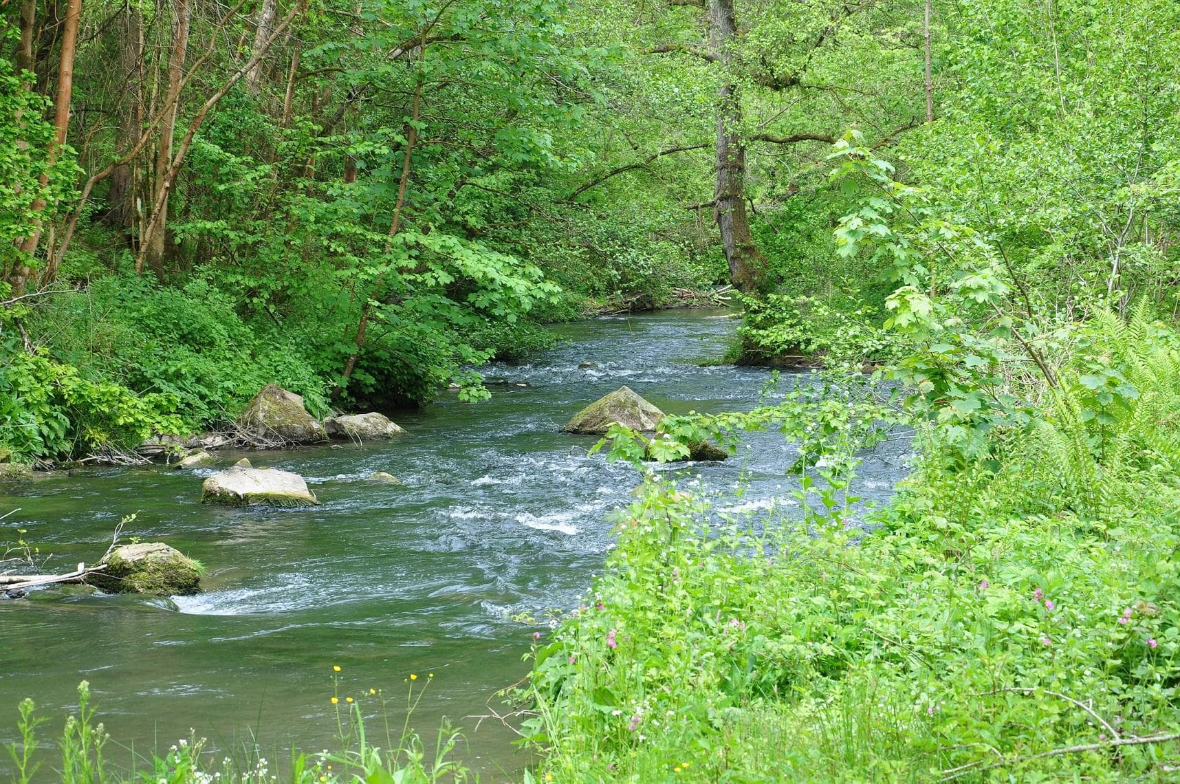
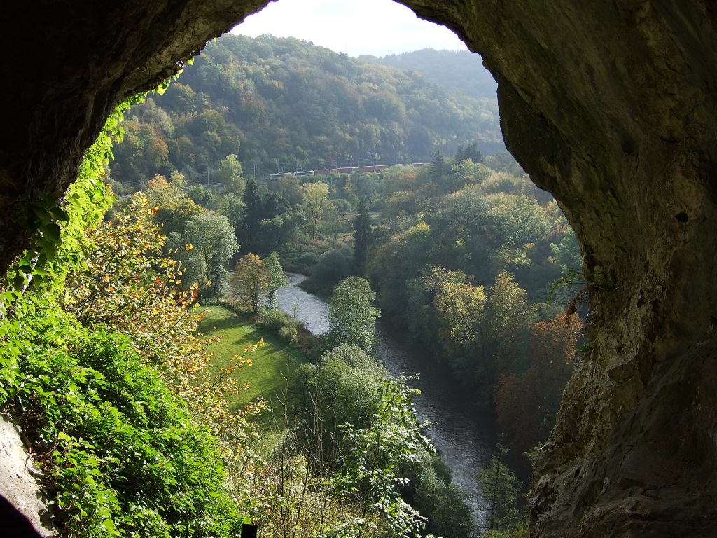
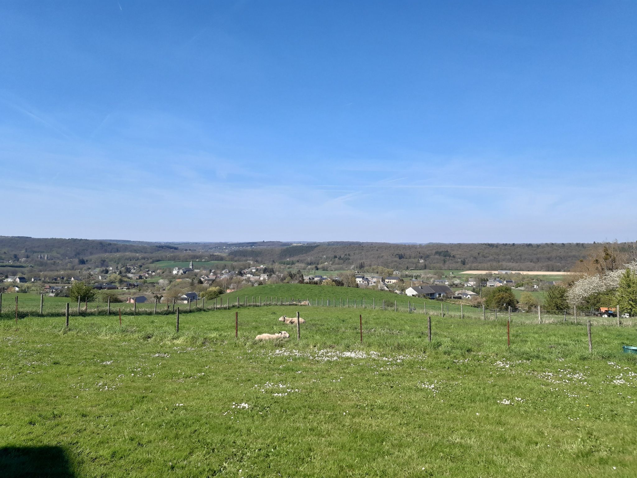
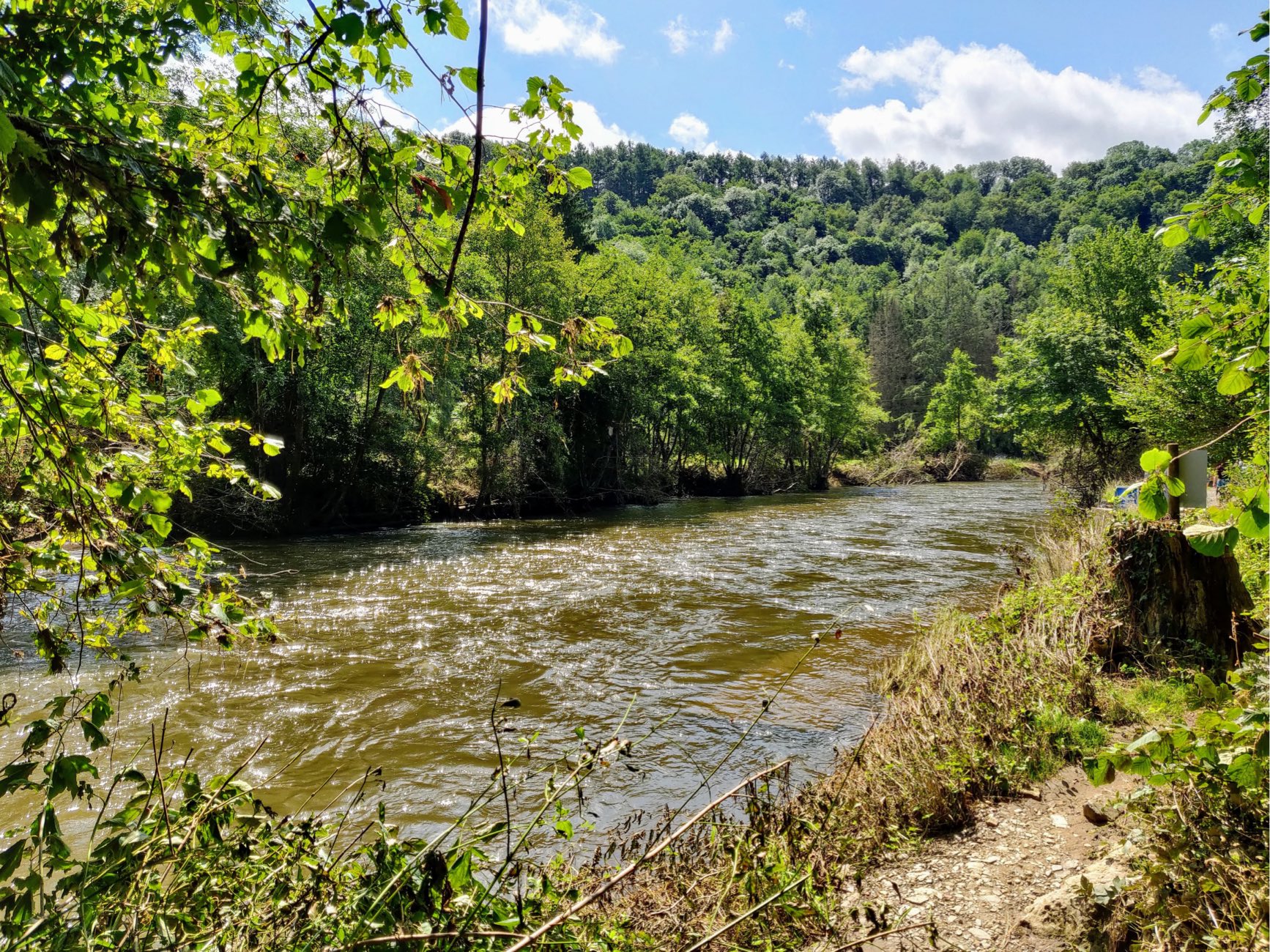
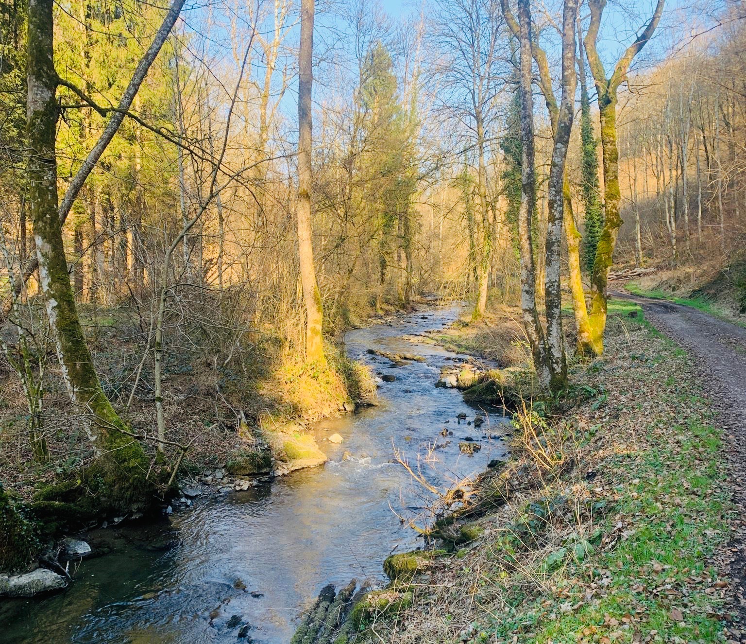
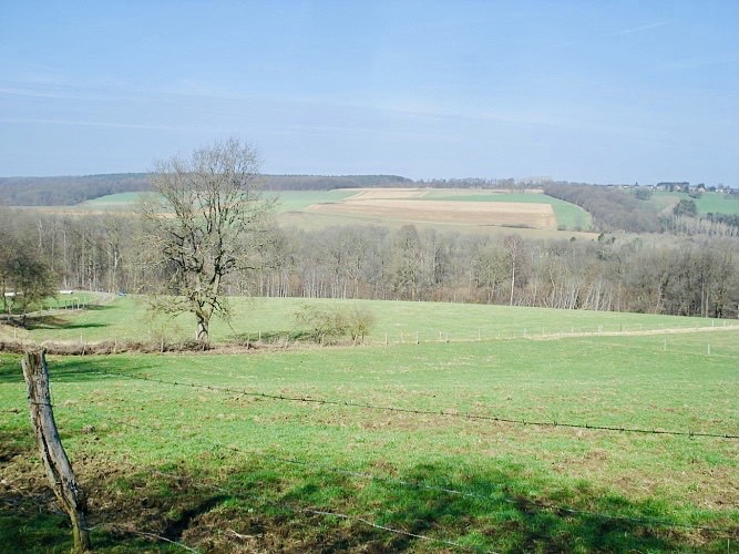
Here is a nice walk in the wooded area of the villages of Chansin and Dorinne. The route makes a loop in the middle of woods and fields and offers magnificent landscapes, typical of the region.

Already more than 200,000 users!
Uphill
141m
Highest point
272m
Downhill
141m
Lowest point
165m
Route type
Loop
Download the map on your smartphone to save battery and rest assured to always keep access to the route, even without signal.
Includes IGN France and Swisstopo.
I indicate whether dogs are allowed or prohibited on this trail
All year
1 rating
Also enjoy:

Already more than 200,000 users!