Uphill
219m
Length
7km
Duration
2h30min
Elev gain
219m
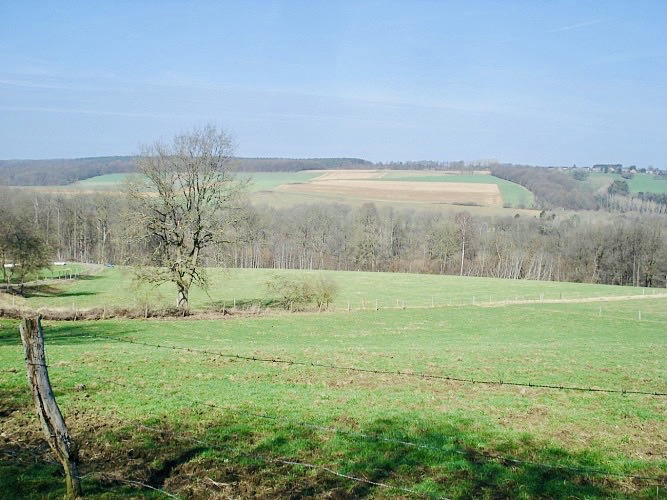
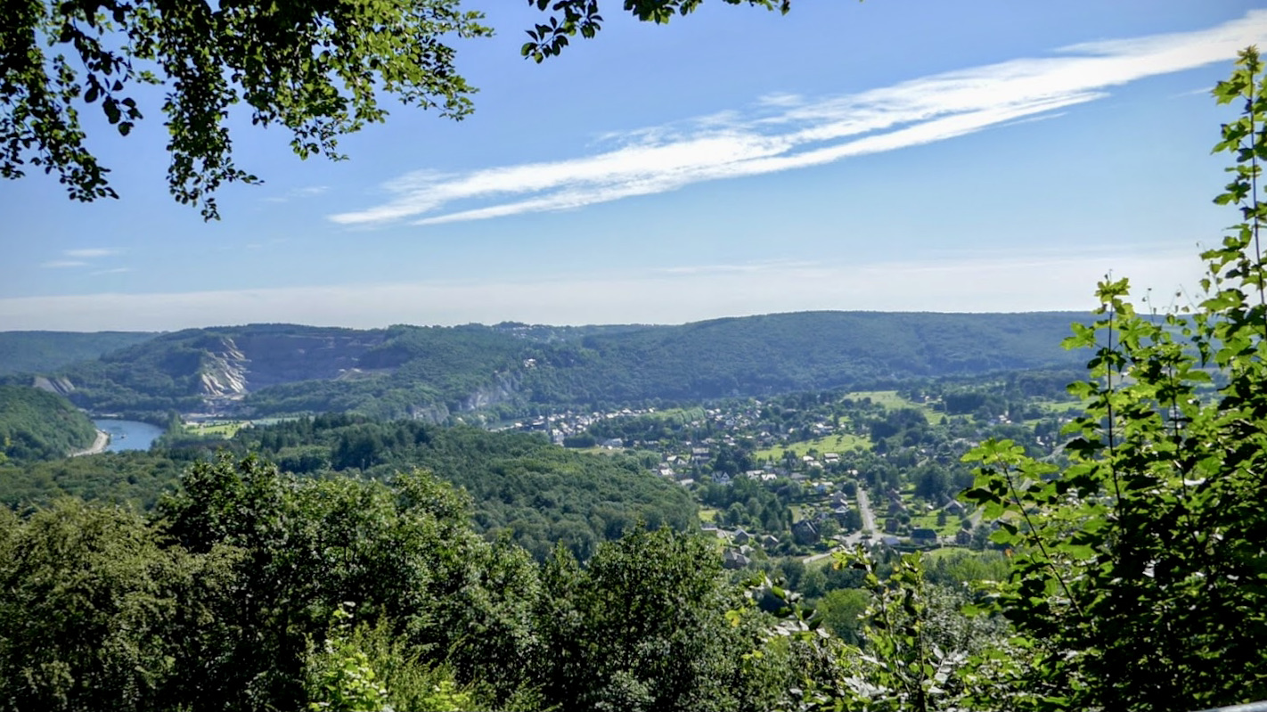
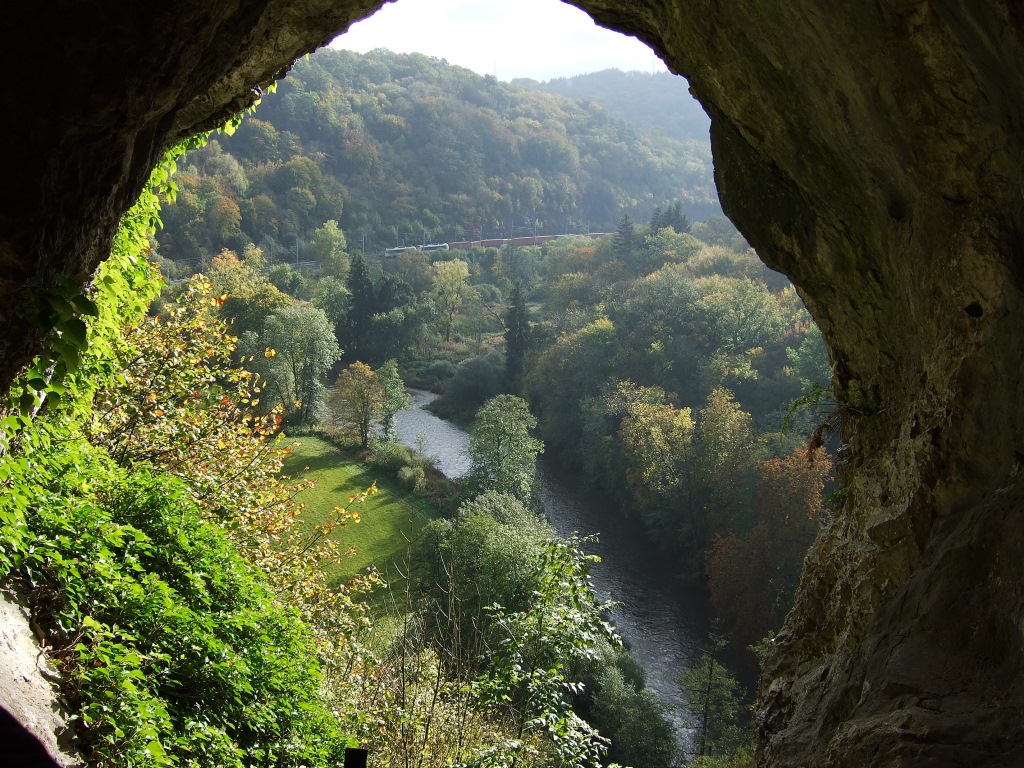
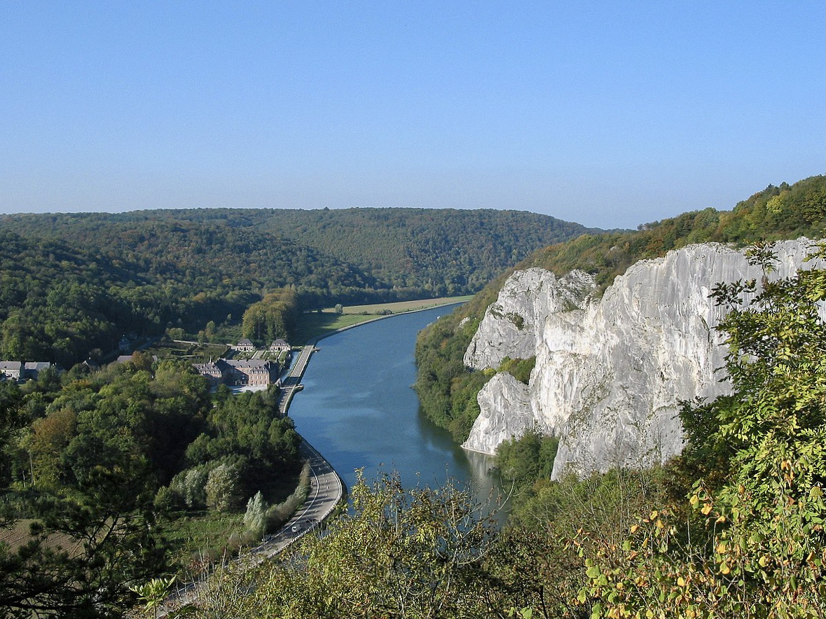
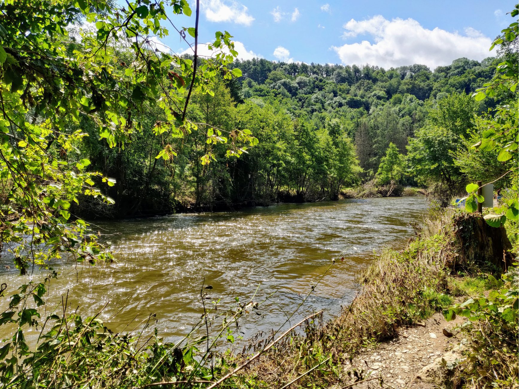
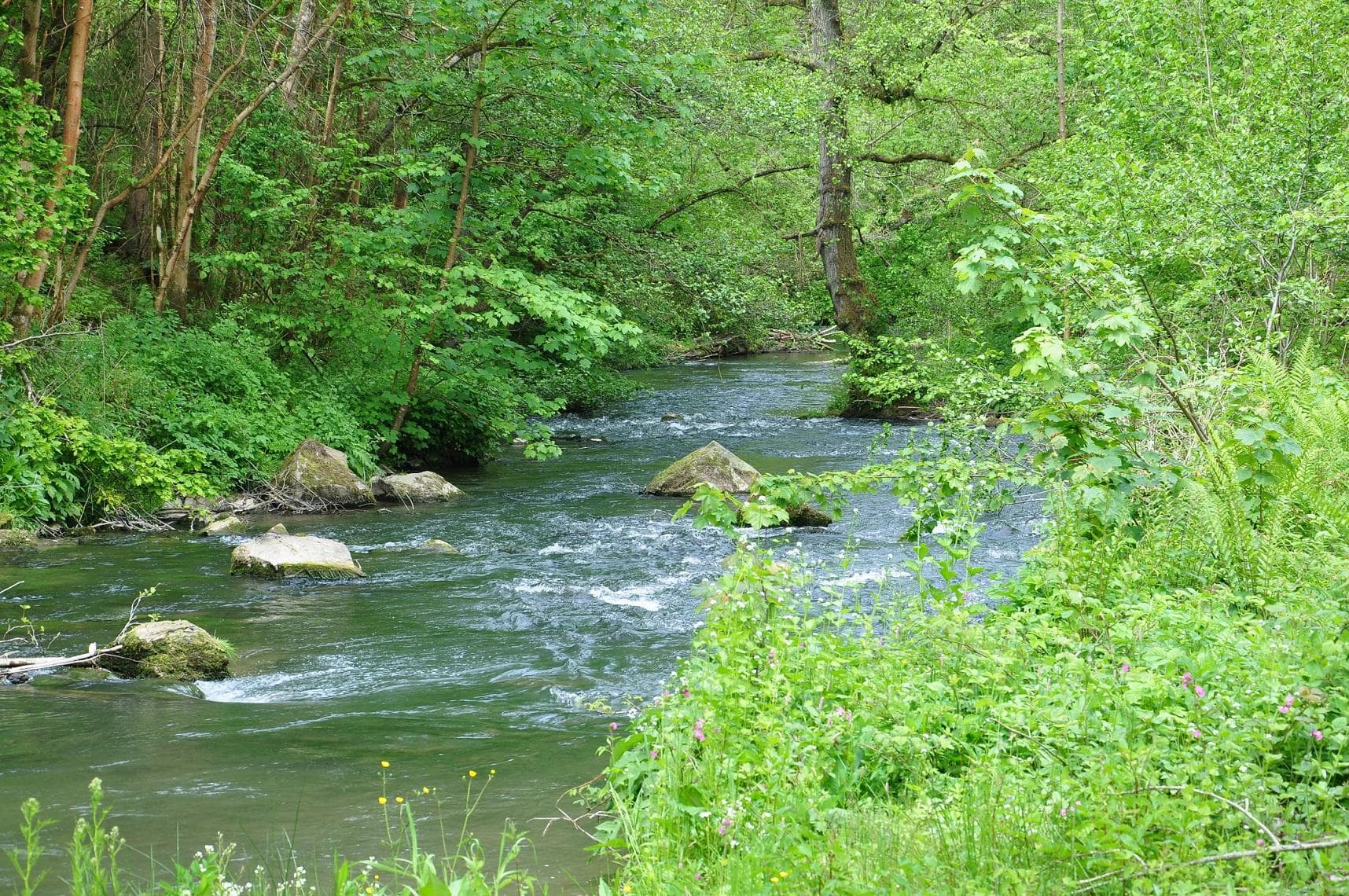
Nice hike around Purnode and Bauche, in the province of Namur. The route partly runs along the Bocq River, offering beautiful views of the latter.

Already more than 200,000 users!
Uphill
219m
Highest point
248m
Downhill
219m
Lowest point
114m
Route type
Loop
Download the map on your smartphone to save battery and rest assured to always keep access to the route, even without signal.
Includes IGN France and Swisstopo.
I indicate whether dogs are allowed or prohibited on this trail
All year
1 rating
Also enjoy:

Already more than 200,000 users!