Uphill
250m
Length
10km
Duration
3h
Elev gain
250m
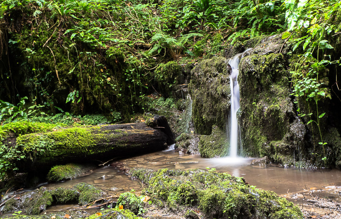
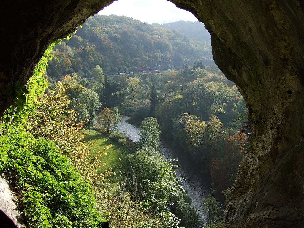
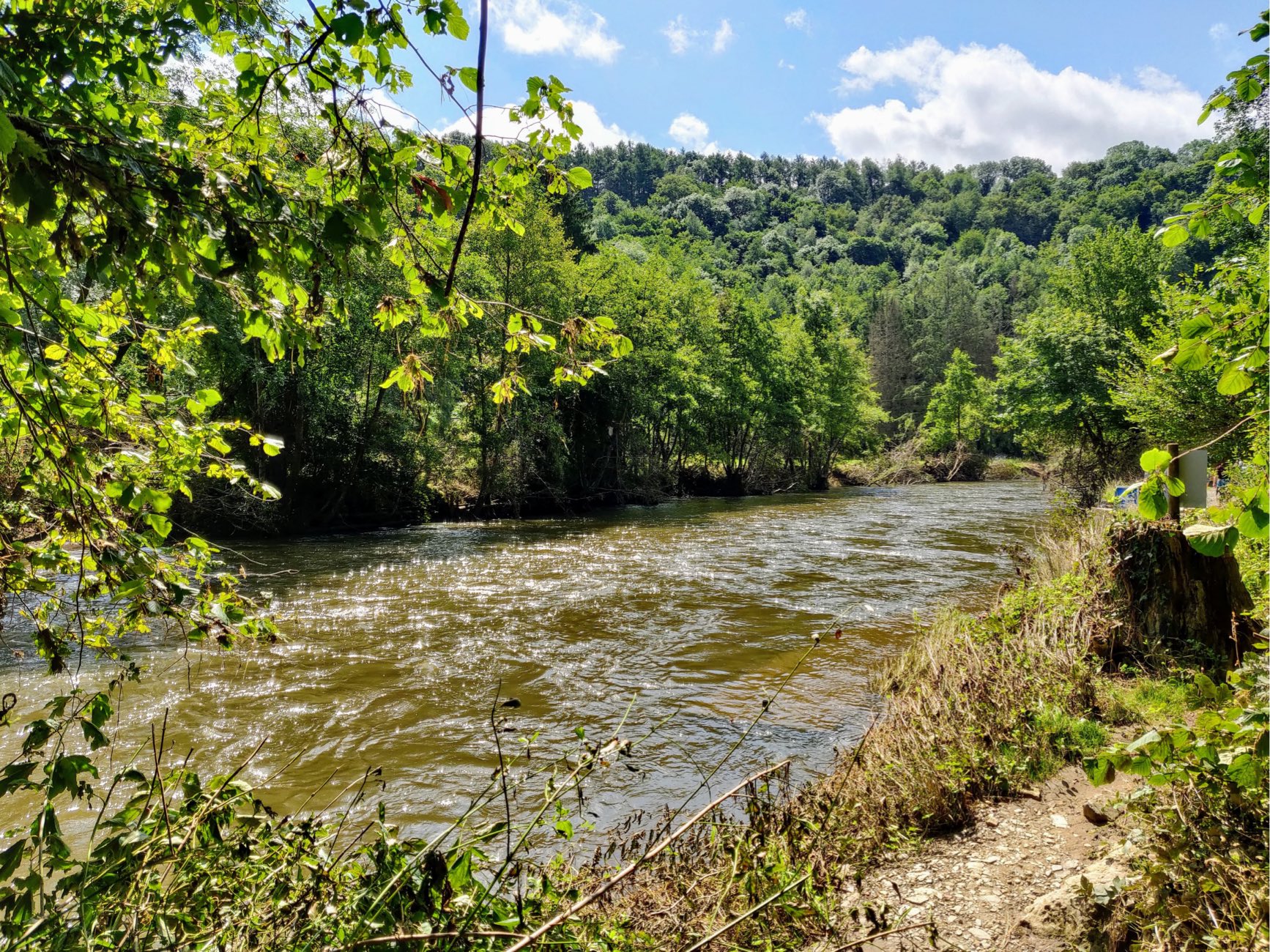
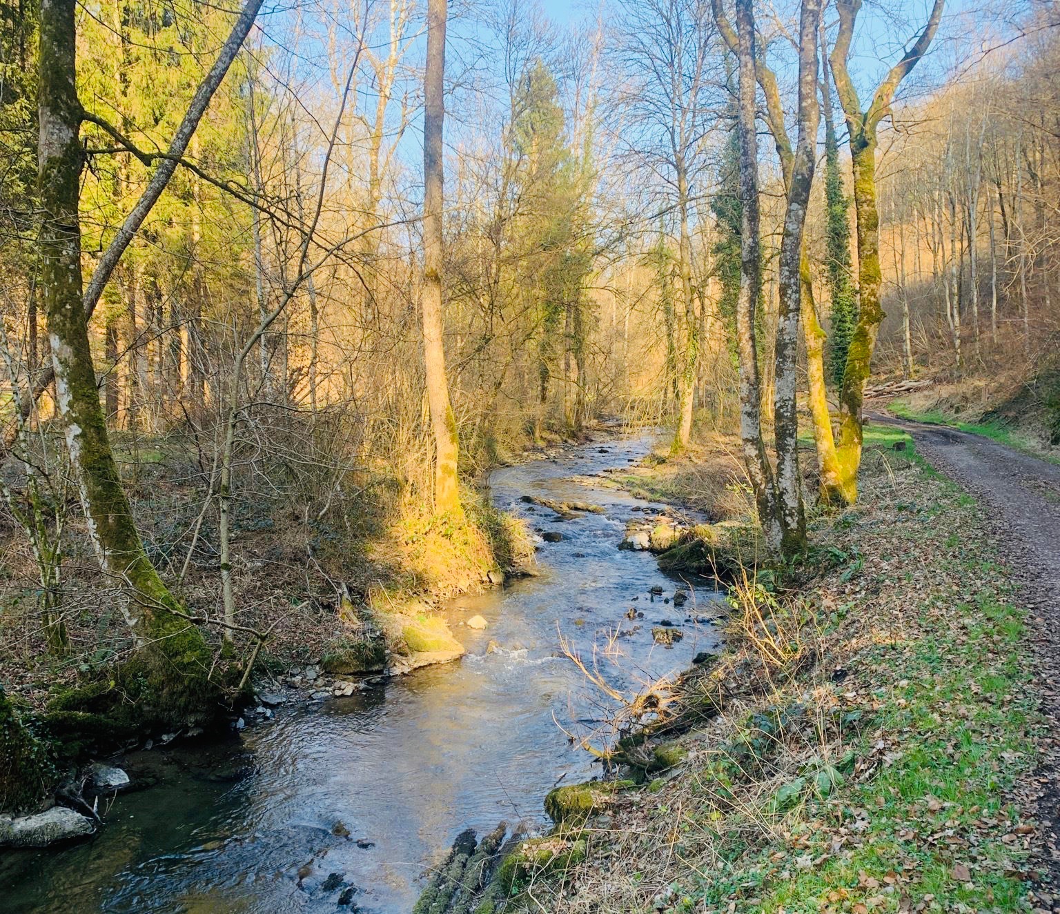
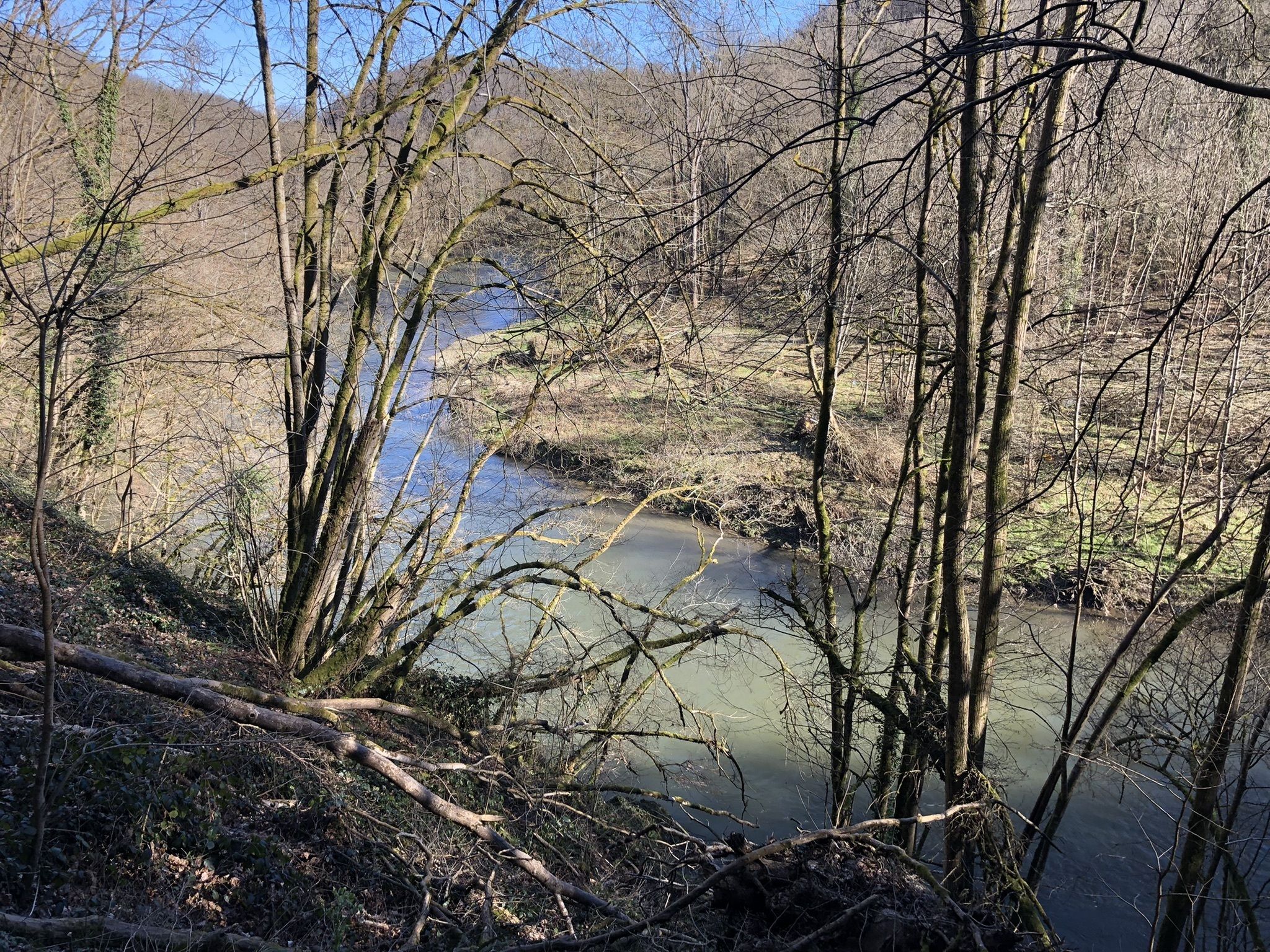
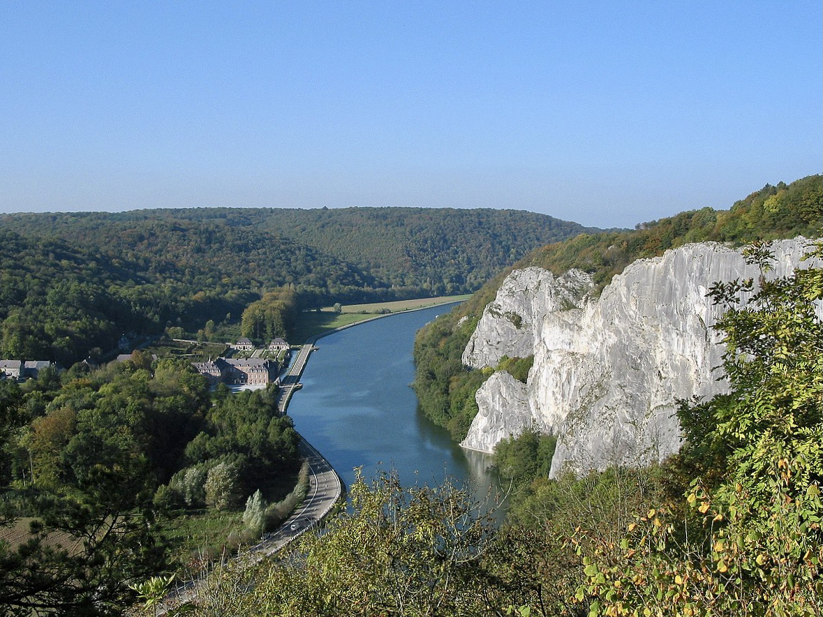
Here is a great hike on the banks of the Meuse near the hamlet of Falmagne, south of Dinant. The route makes a loop on various and varied paths, between river, forest, ascents and descents. In addition, this route offers many viewpoints over the Meuse and its surroundings.

Already more than 200,000 users!
Uphill
250m
Highest point
199m
Downhill
250m
Lowest point
61m
Route type
Loop
Download the map on your smartphone to save battery and rest assured to always keep access to the route, even without signal.
Includes IGN France and Swisstopo.
I indicate whether dogs are allowed or prohibited on this trail
All year
7 ratings
Sentiers pas très dégagés et itinéraire pas toujours clair mais très belles vues et beaux paysages!
Also enjoy:

Already more than 200,000 users!