Uphill
321m
Length
15km
Duration
4h30min
Elev gain
321m
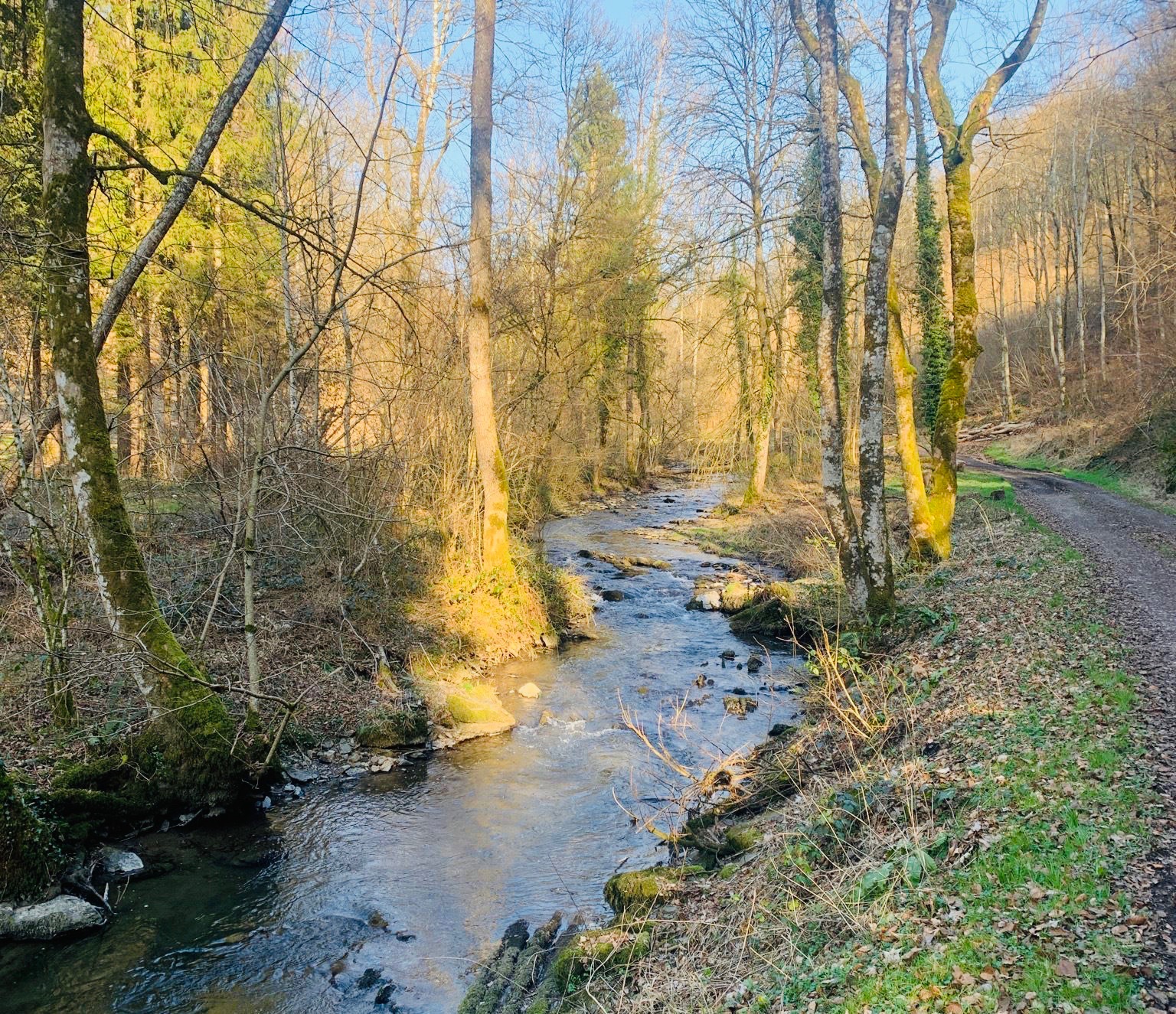
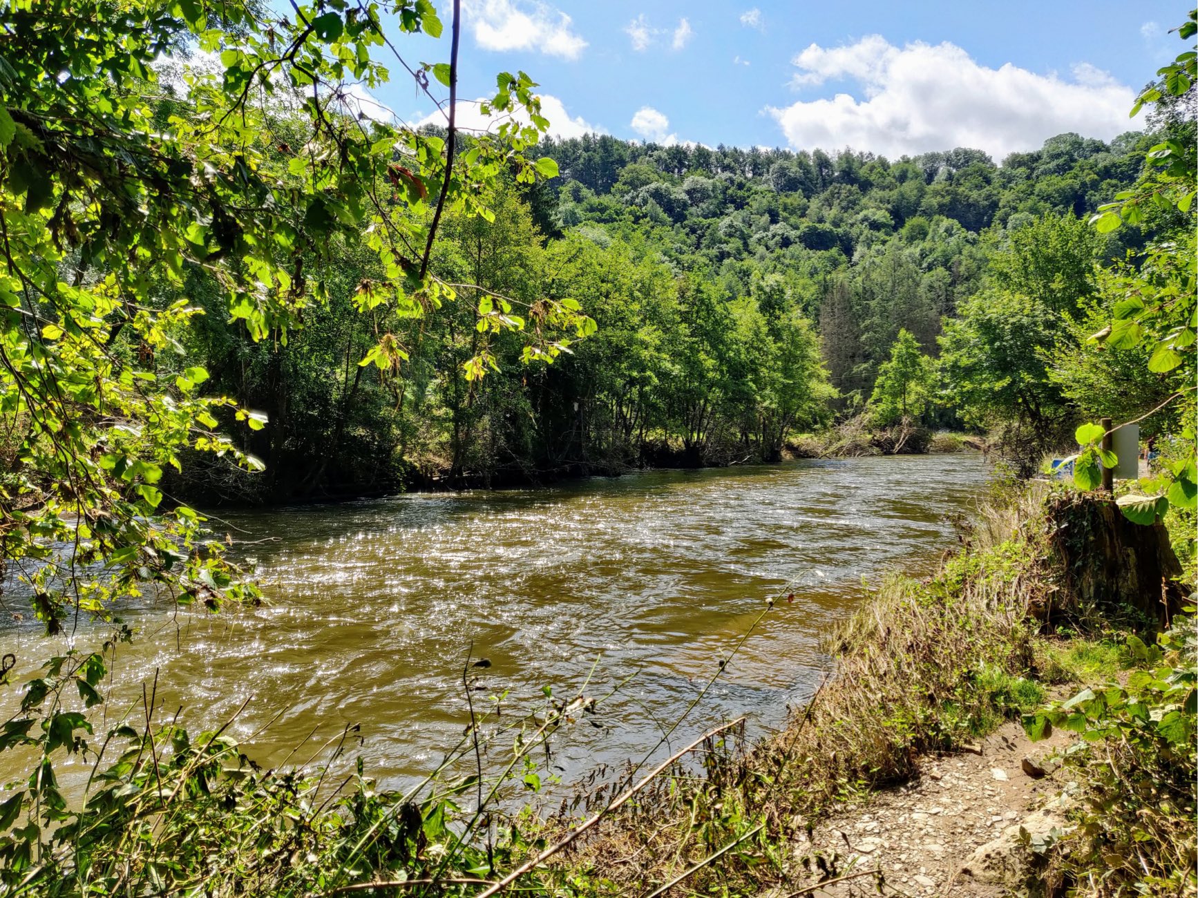
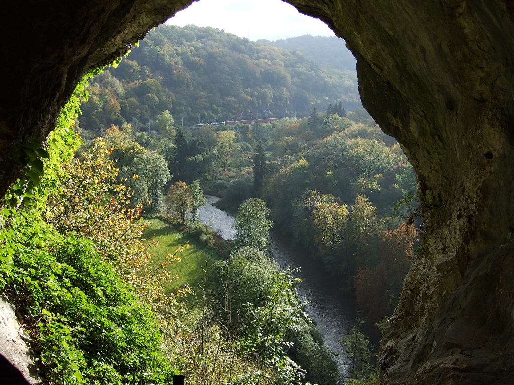
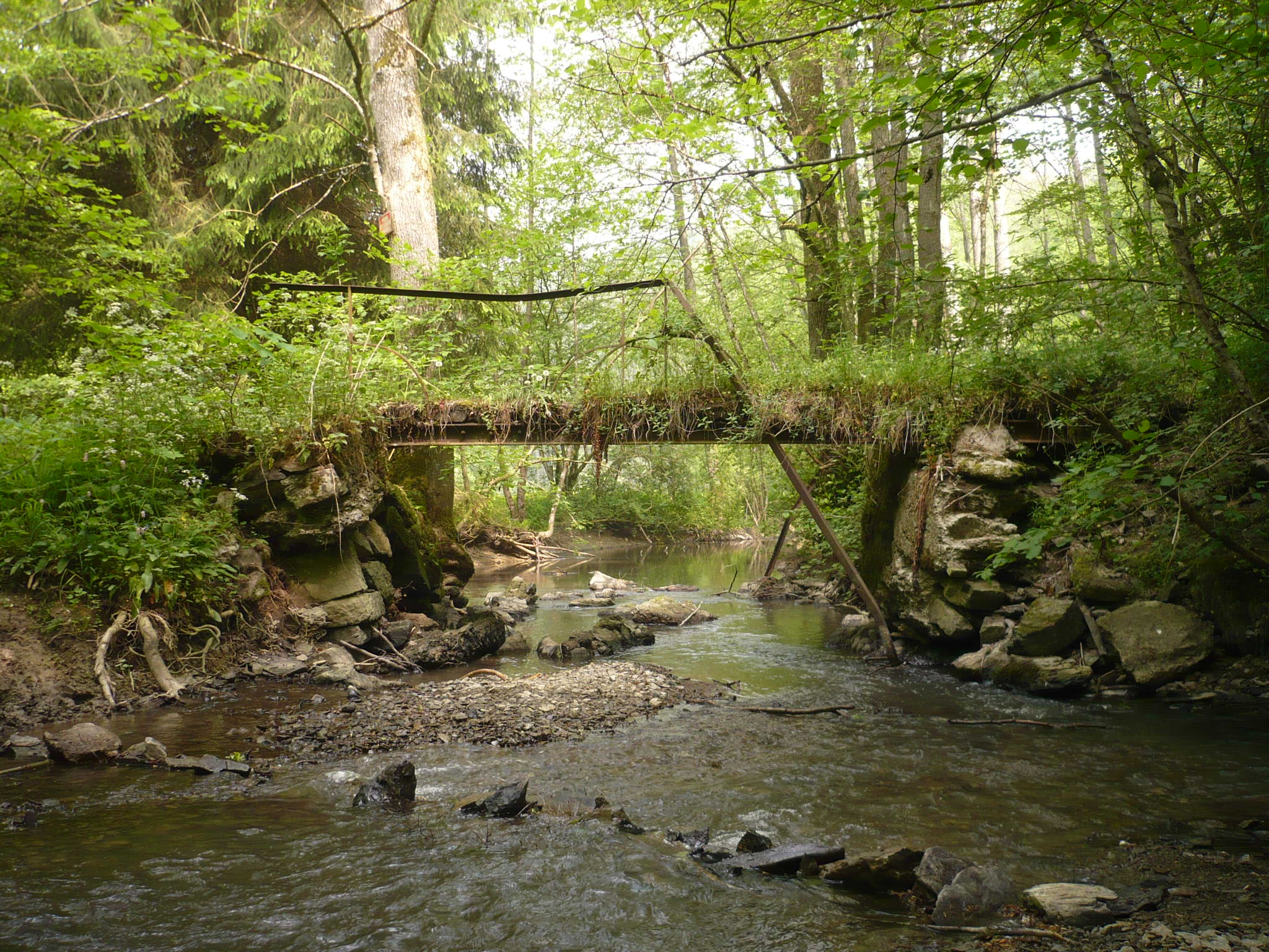
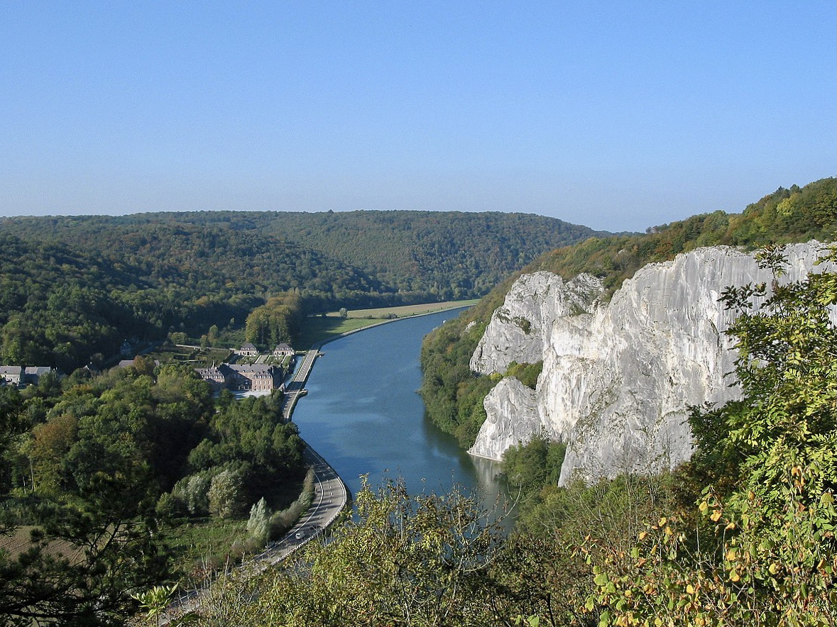
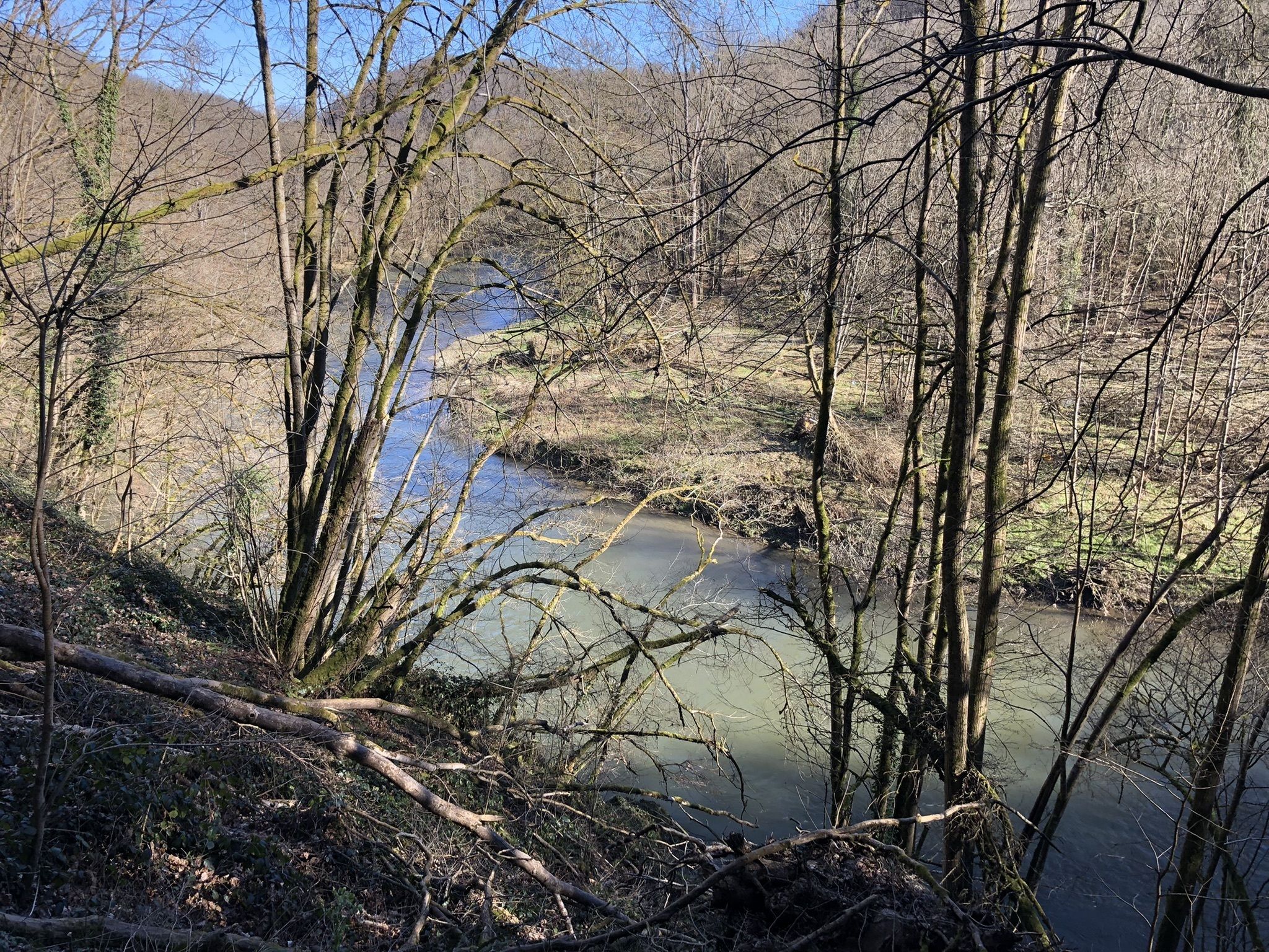
Departing from Gendron, this hike makes a beautiful loop in the surrounding countryside. The route largely runs along the Lesse and joins the villages of Furfooz then Vêves before returning to the starting point.
A varied walk on bucolic paths, best done in spring when the undergrowth is strewn with flowers.

Already more than 200,000 users!
Uphill
321m
Highest point
230m
Downhill
321m
Lowest point
91m
Route type
Loop
Download the map on your smartphone to save battery and rest assured to always keep access to the route, even without signal.
Includes IGN France and Swisstopo.
I indicate whether dogs are allowed or prohibited on this trail
All year
2 ratings
Also enjoy:

Already more than 200,000 users!