Uphill
291m
Length
11km
Duration
3h30min
Elev gain
291m
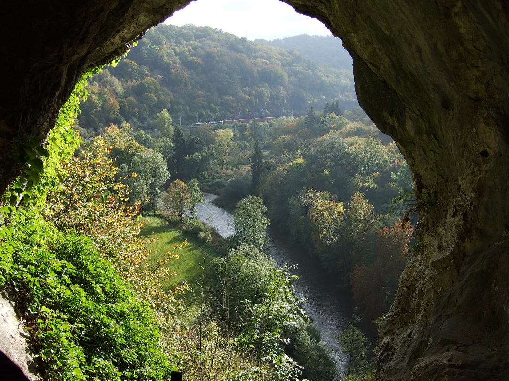
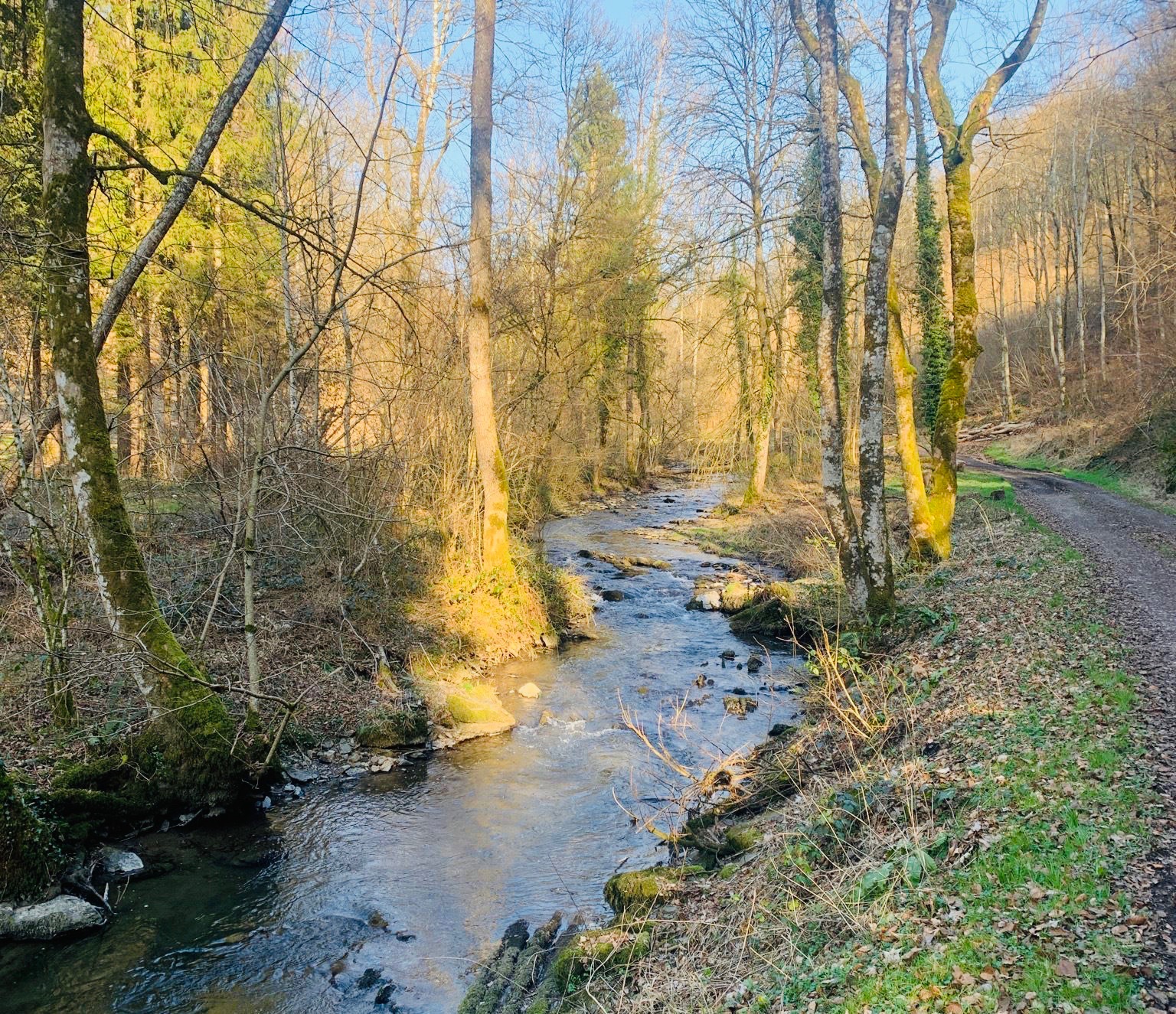
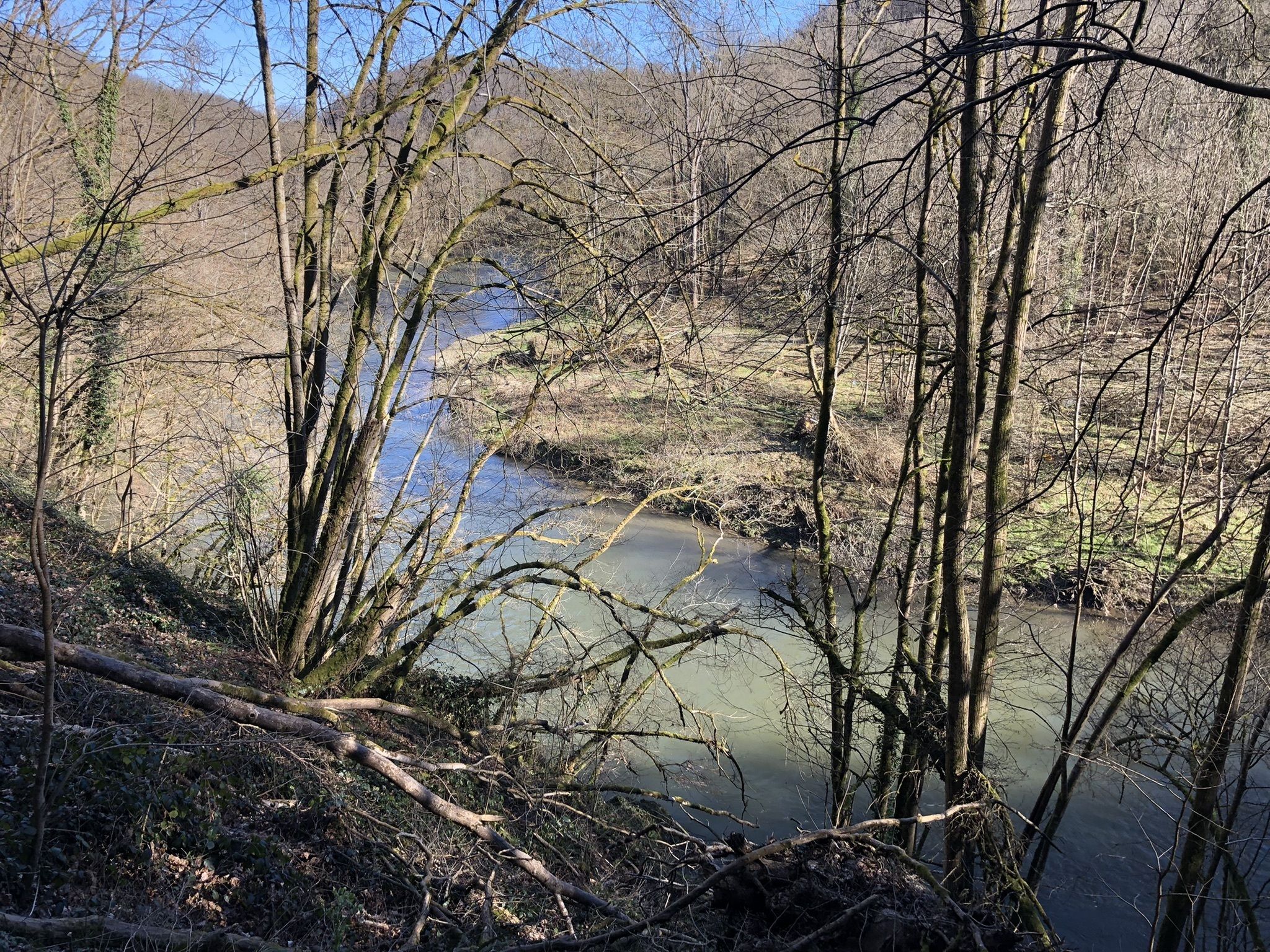
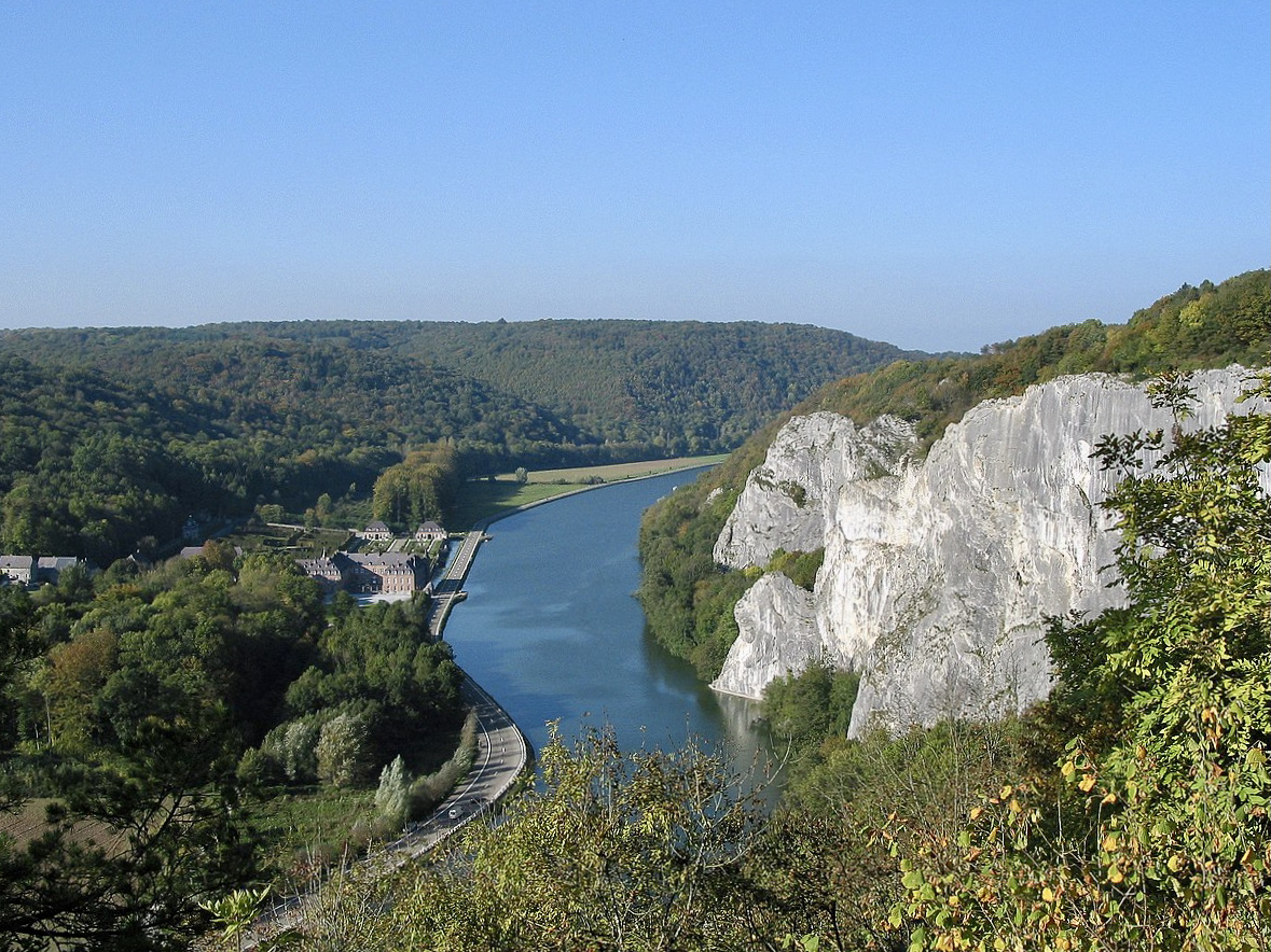
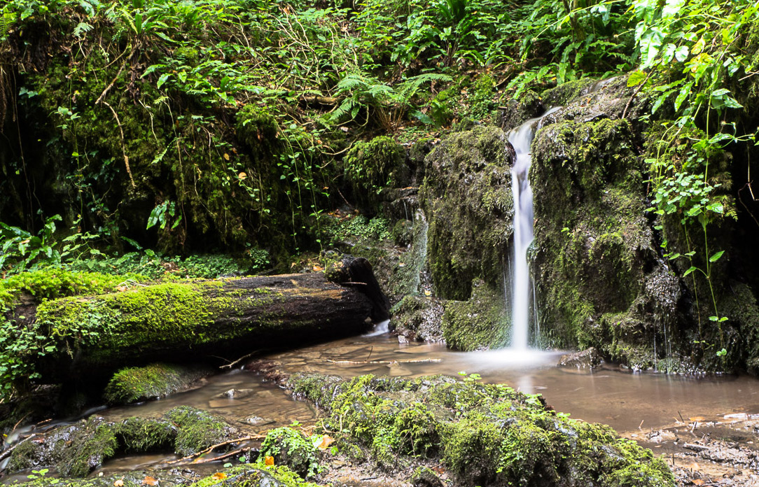
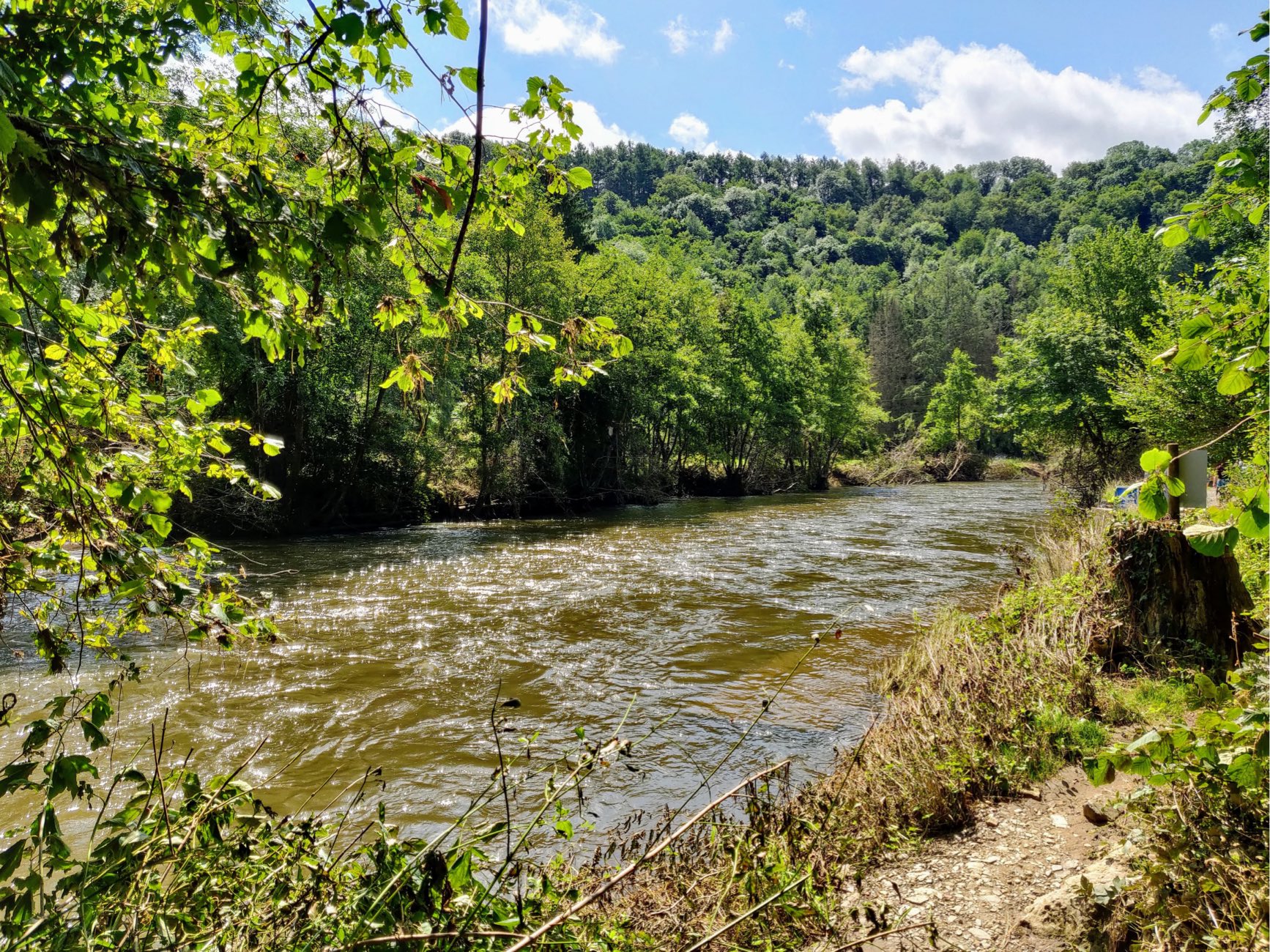
This route winds through the Lesse valley, between caves, historical remains, thermal baths, and viewpoints over the Lesse. In summary, a great ride with many remarkable places!
The path passes next to the Furfooz park, the visit of which is not free.

Already more than 200,000 users!
Uphill
291m
Highest point
218m
Downhill
291m
Lowest point
89m
Route type
Loop
Download the map on your smartphone to save battery and rest assured to always keep access to the route, even without signal.
Includes IGN France and Swisstopo.
3 ratings
Also enjoy:

Already more than 200,000 users!