Uphill
189m
Length
8km
Duration
3h30min
Elev gain
189m
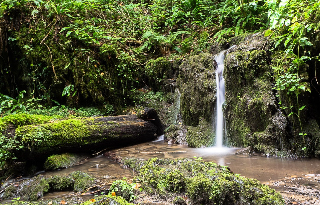
Here is a great walk that begins in the heart of the village of Falmignoul. The route makes a nice loop, between forests, fields, and very charming little waterfalls along the Meuse. The return takes the Chemin des Cascatelles and passes next to the Auberge des Crêtes, ideal for eating before ending this very beautiful hike.

Already more than 200,000 users!
Uphill
189m
Highest point
275m
Downhill
189m
Lowest point
95m
Route type
Loop
Download the map on your smartphone to save battery and rest assured to always keep access to the route, even without signal.
Includes IGN France and Swisstopo.
6 ratings
Also enjoy:

Already more than 200,000 users!


