Uphill
106m
Length
4km
Duration
1h
Elev gain
106m
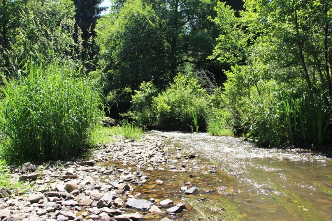
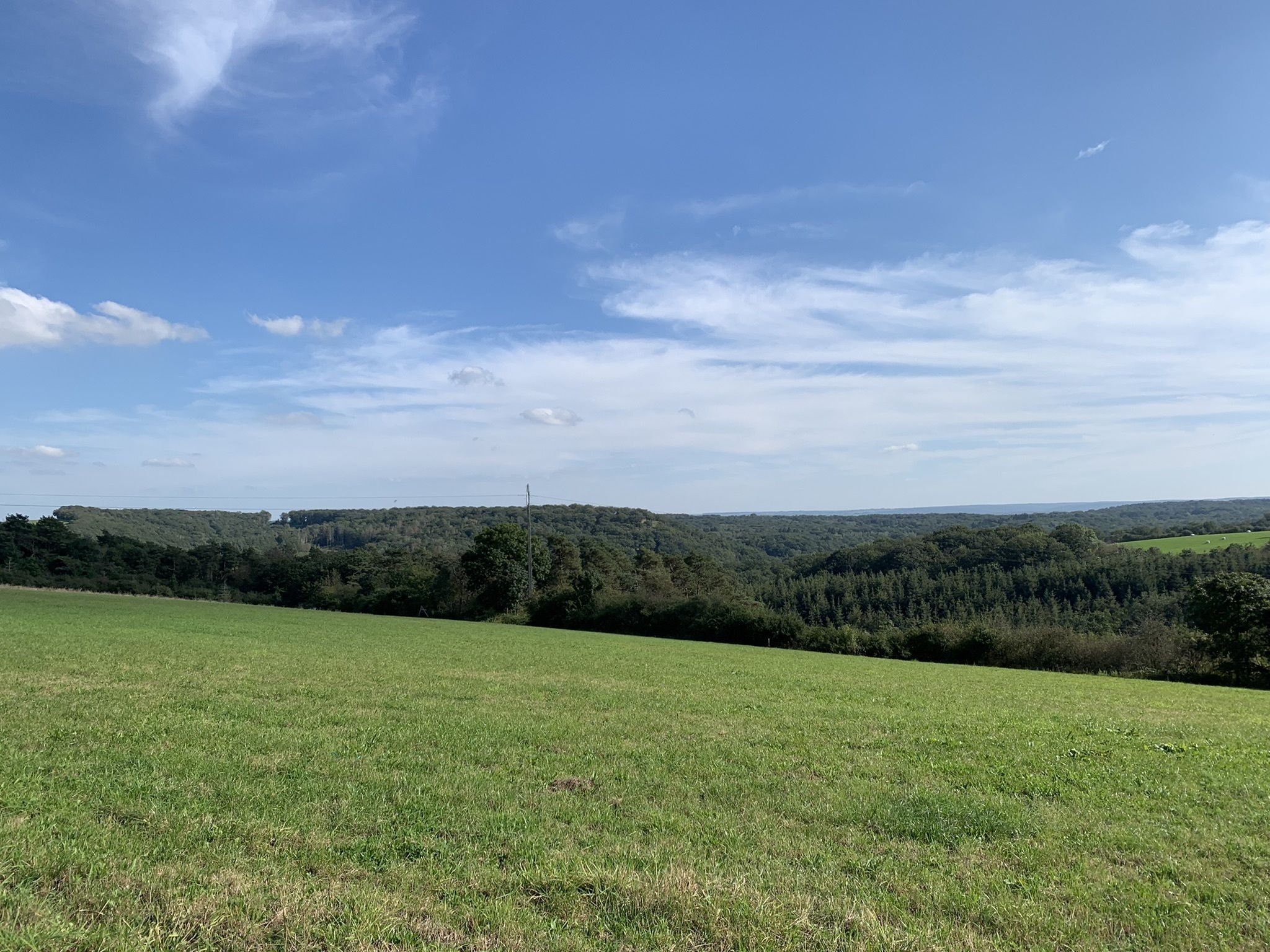
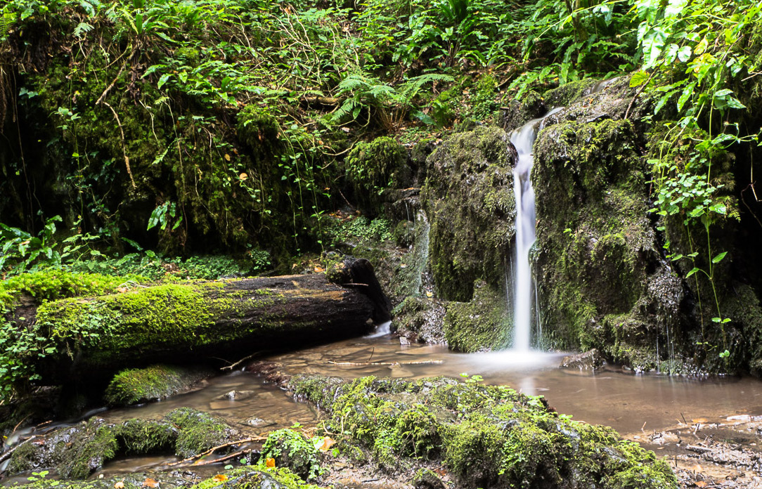
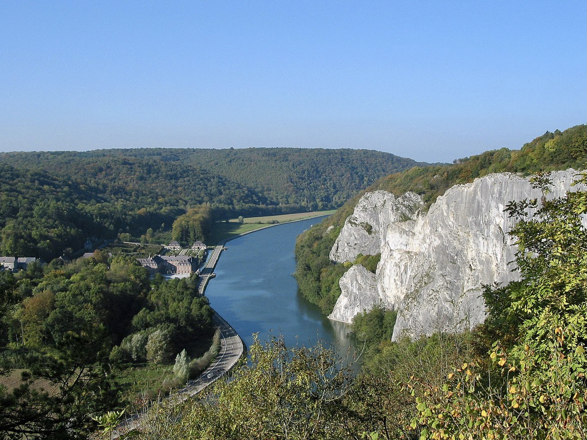
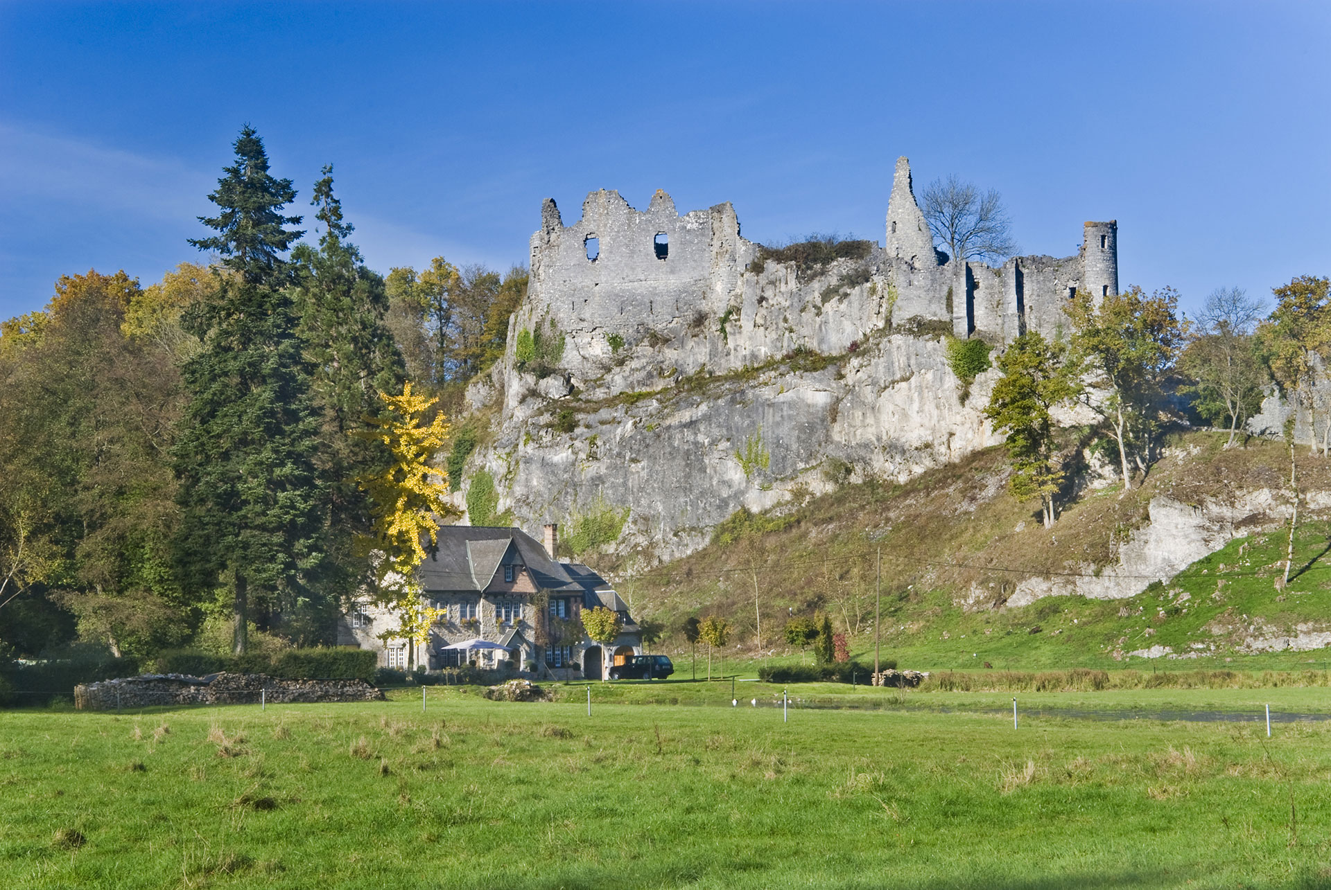
Starting from the center of Givet, this path leads to the Pointe de Givet nature reserve and to the summit of Mont d'Haurs (200 m), which offers a superb view of the Meuse valley.

Already more than 200,000 users!
Uphill
106m
Highest point
207m
Downhill
106m
Lowest point
93m
Route type
Loop
Download the map on your smartphone to save battery and rest assured to always keep access to the route, even without signal.
Includes IGN France and Swisstopo.
0 ratings
Also enjoy:

Already more than 200,000 users!