Uphill
311m
Length
12km
Duration
3h30min
Elev gain
311m
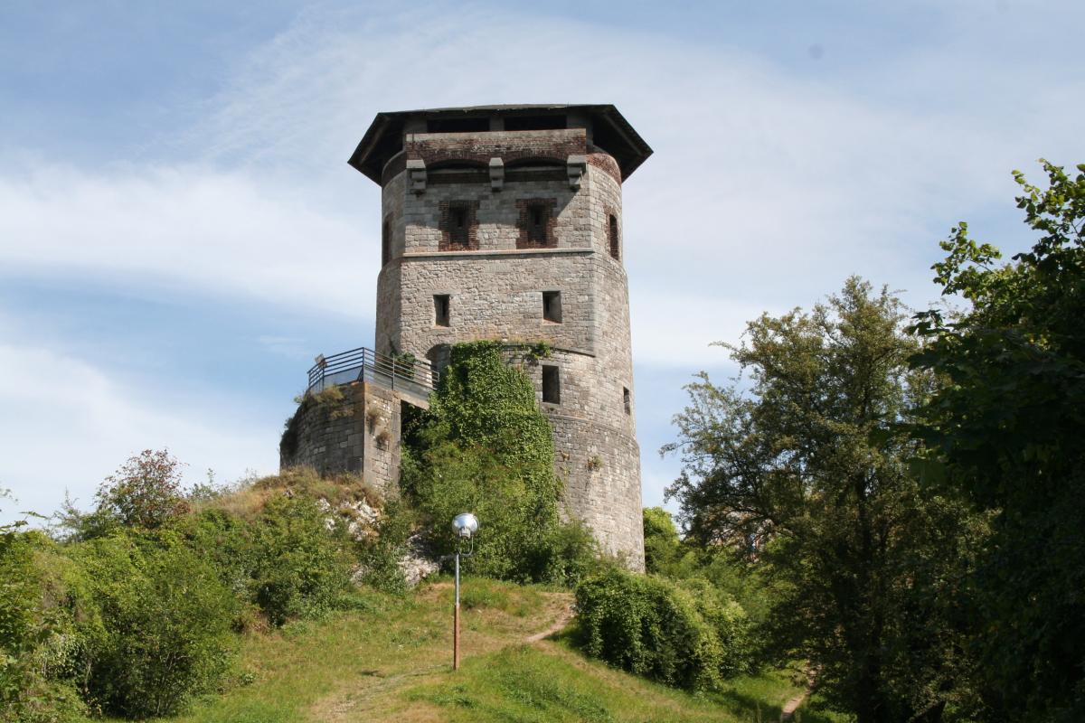
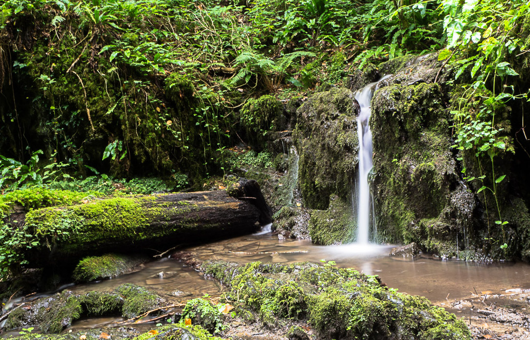
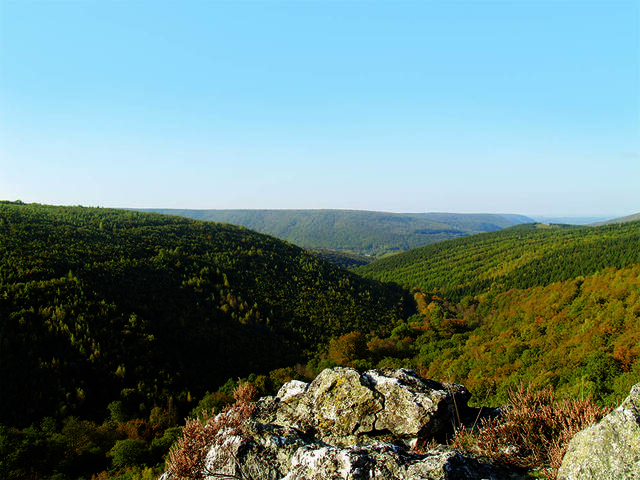
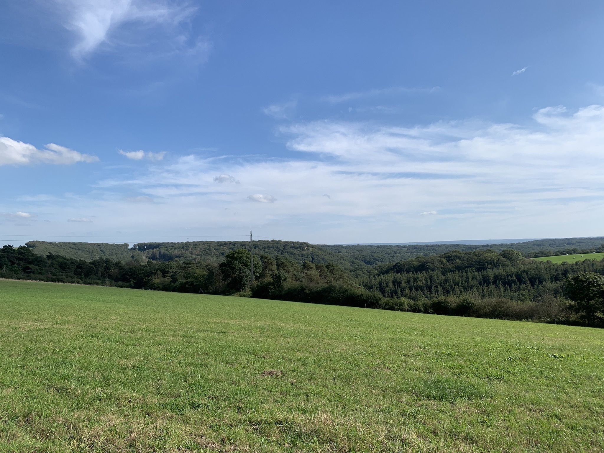
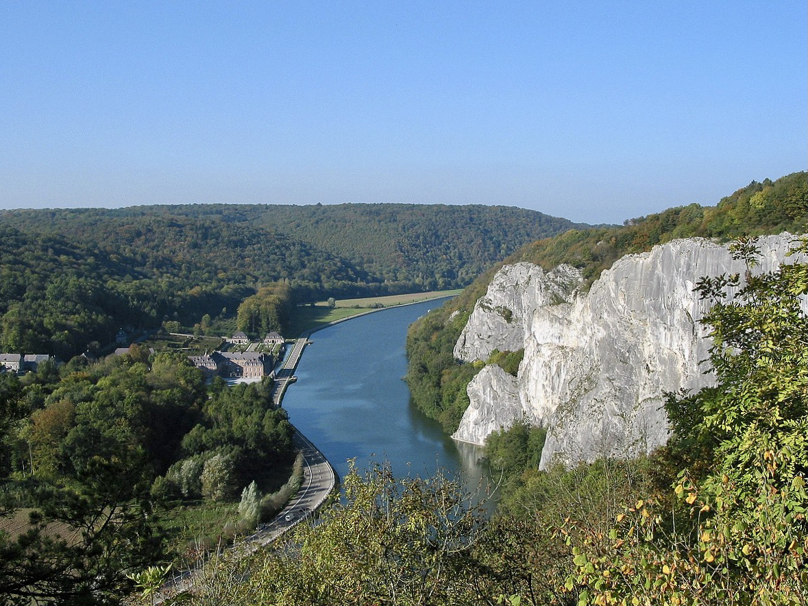
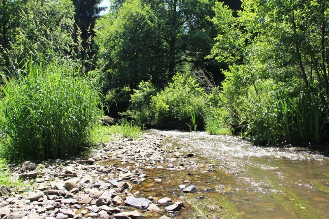
Departing from Felenne, this hike makes a nice loop in a calm and pleasant forest environment. The path meanders around various small streams and offers landscapes typical of the valley.

Already more than 200,000 users!
Uphill
311m
Highest point
361m
Downhill
311m
Lowest point
188m
Route type
Loop
Download the map on your smartphone to save battery and rest assured to always keep access to the route, even without signal.
Includes IGN France and Swisstopo.
I indicate whether dogs are allowed or prohibited on this trail
All year
0 ratings
Also enjoy:

Already more than 200,000 users!