Uphill
119m
Length
6km
Duration
1h30min
Elev gain
119m
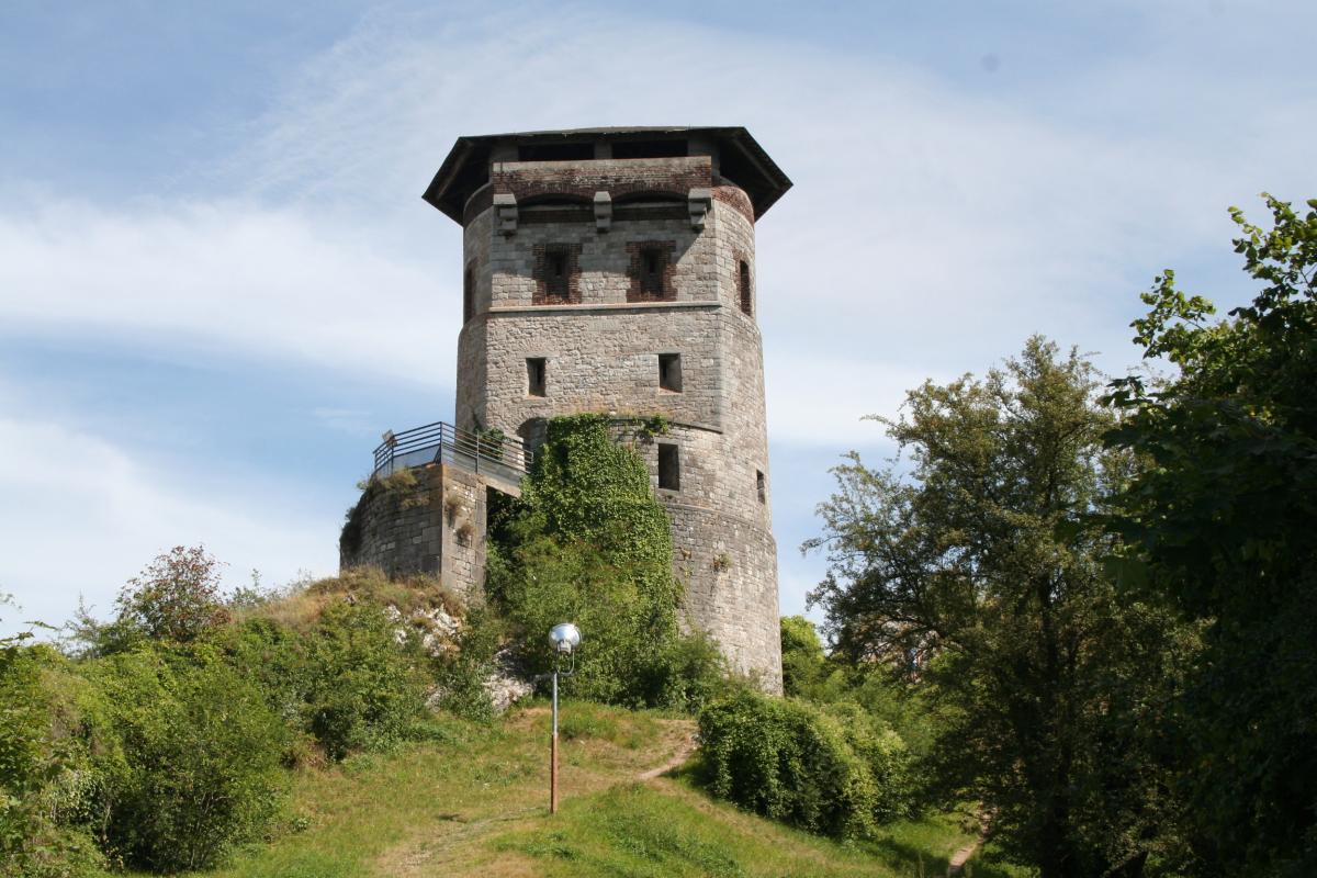
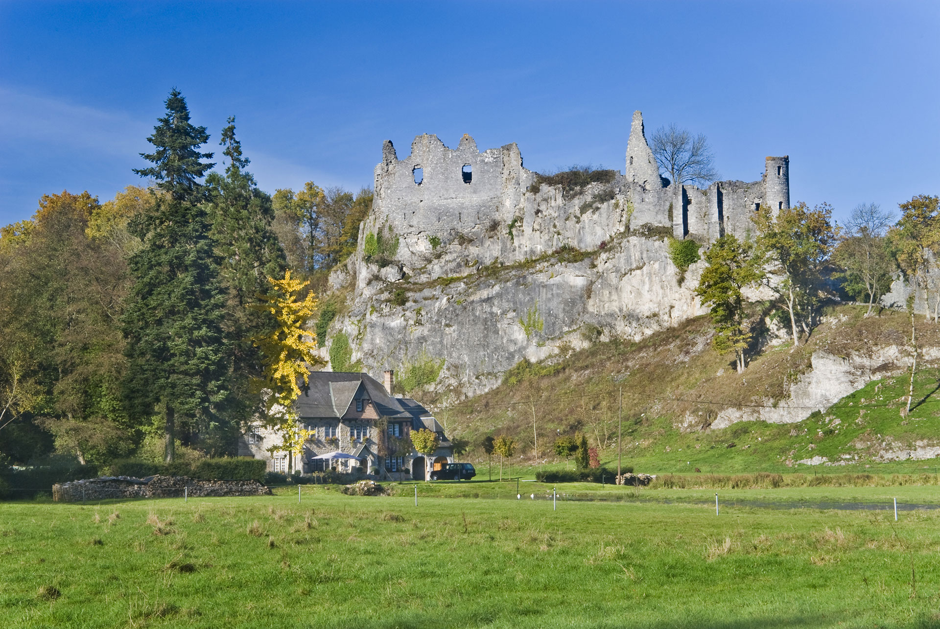
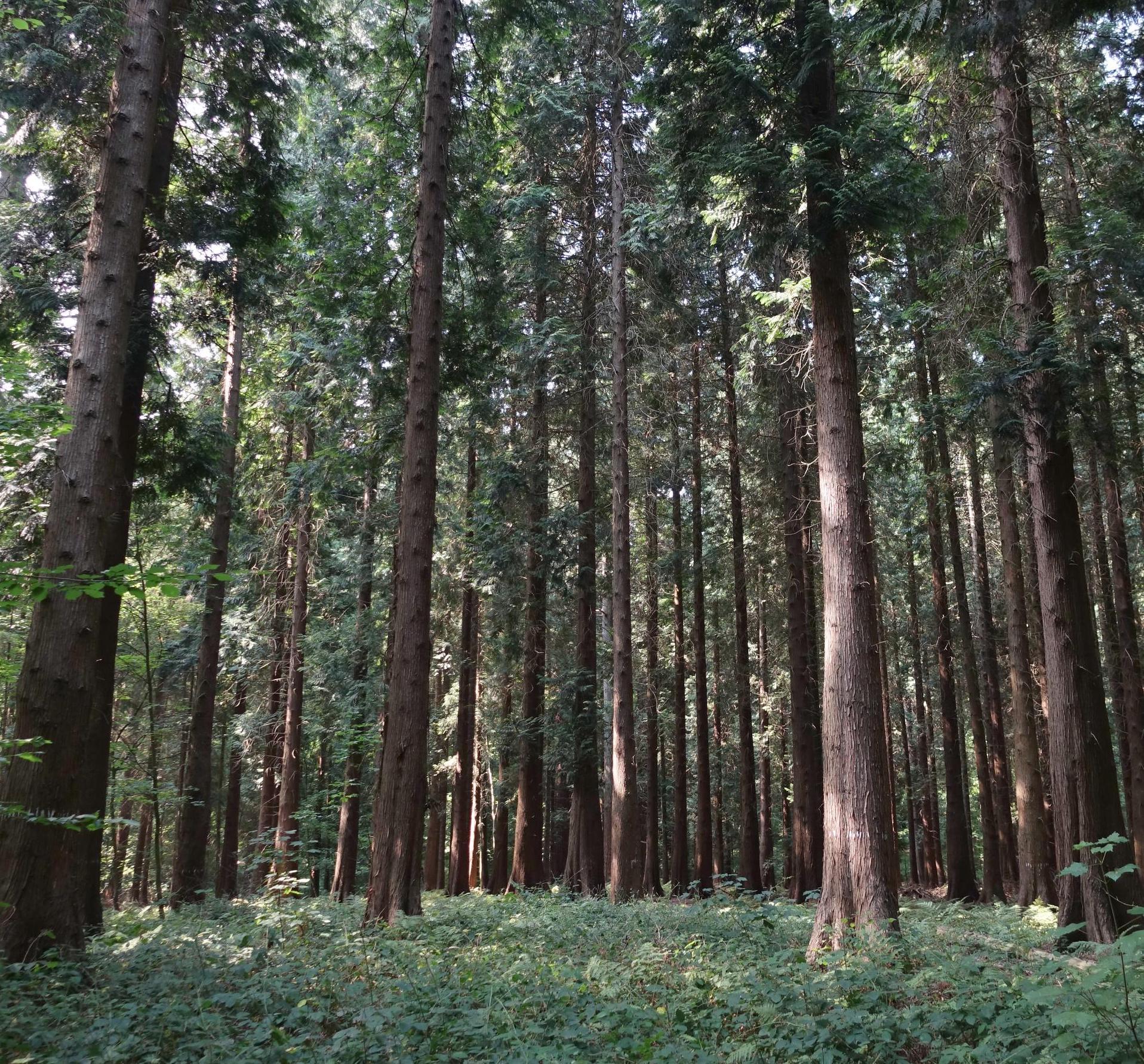
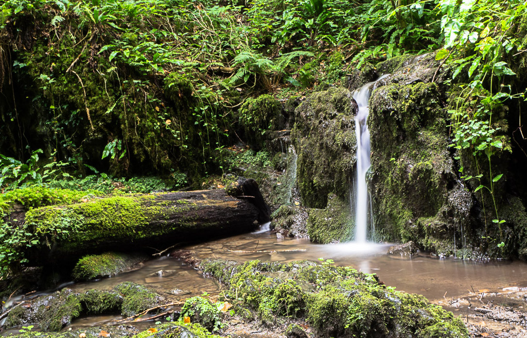
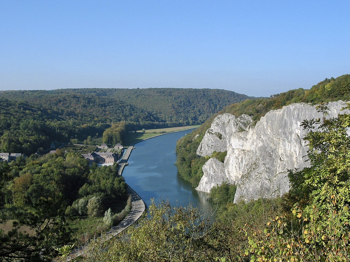
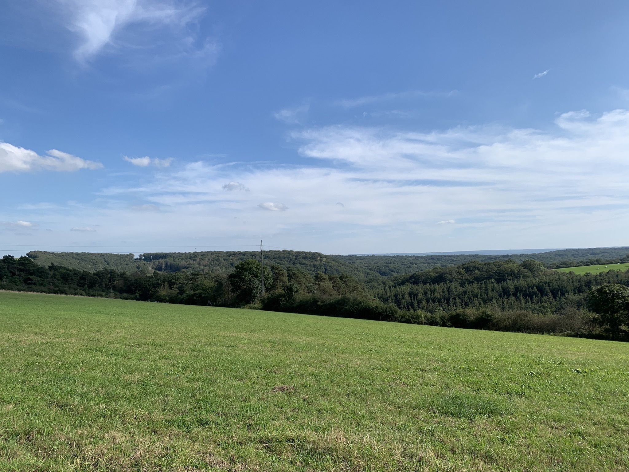
Departing from Gochenée, this hike combines country roads and woods. This loop trail has several river crossings and some rather steep climbs. A good physical condition as well as suitable equipment are therefore necessary to enjoy this beautiful hike.

Already more than 200,000 users!
Uphill
119m
Highest point
236m
Downhill
119m
Lowest point
129m
Route type
Loop
Download the map on your smartphone to save battery and rest assured to always keep access to the route, even without signal.
Includes IGN France and Swisstopo.
I indicate whether dogs are allowed or prohibited on this trail
All year
0 ratings
Also enjoy:

Already more than 200,000 users!