Uphill
143m
Length
12km
Duration
3h30min
Elev gain
143m
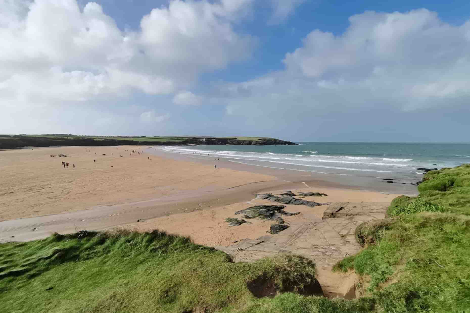
This is a fantastic loop from Padstow to Trevone in the Cornwall National Landscape. The trail is moderate, mixing narrow footpaths with a bit of wide tracks, with a few uphills and downhills along the way. The trail begins by the estuary in Padstow and continues along the head to cut back inland via Trevone through farmed fields. The views are fantastic throughout the walk with some dramatic coastal vistas and quaint farmland landscapes. There are also two beaches on the way which are ideal to take a swim in between walking sections.

Already more than 200,000 users!
Uphill
143m
Highest point
74m
Downhill
143m
Lowest point
1m
Route type
Loop
Download the map on your smartphone to save battery and rest assured to always keep access to the route, even without signal.
Includes IGN France and Swisstopo.
Padstow Harbour Commissioners Park and Display Car Park at the beginning of the trail.
I indicate whether dogs are allowed or prohibited on this trail
All year
0 ratings
Also enjoy:

Already more than 200,000 users!


