Uphill
259m
Length
7km
Duration
2h30min
Elev gain
259m
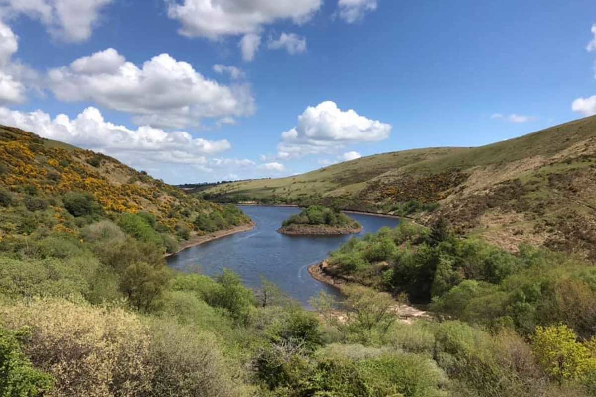
This is a moderate loop in the heart of Dartmoor's National Park iconic landscape, passing both the Meldon Reservoir dam and Black Tor. The trail mixes rocky terrain and sometimes some marshy passages with decent uphills and a gradual descent. The views are beautiful and scenic throughout the walk. The old trees and the free roaming sheep and horses add to the rugged beauty of the landscape.

Already more than 200,000 users!
Uphill
259m
Highest point
466m
Downhill
259m
Lowest point
261m
Route type
Loop
Download the map on your smartphone to save battery and rest assured to always keep access to the route, even without signal.
Includes IGN France and Swisstopo.
I indicate whether dogs are allowed or prohibited on this trail
All year
1 rating
Also enjoy:

Already more than 200,000 users!


