Uphill
67m
Length
4km
Duration
1h
Elev gain
67m
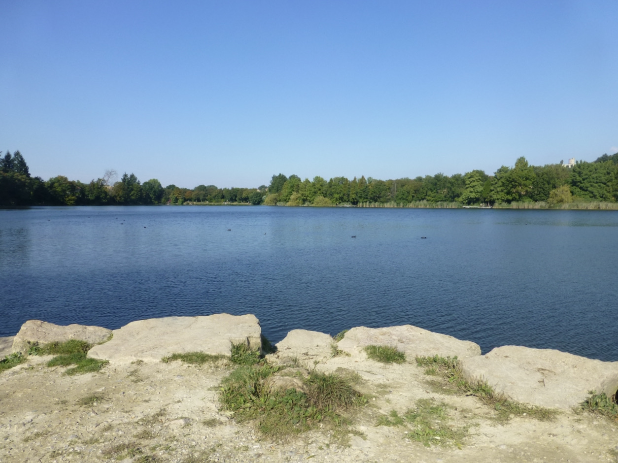
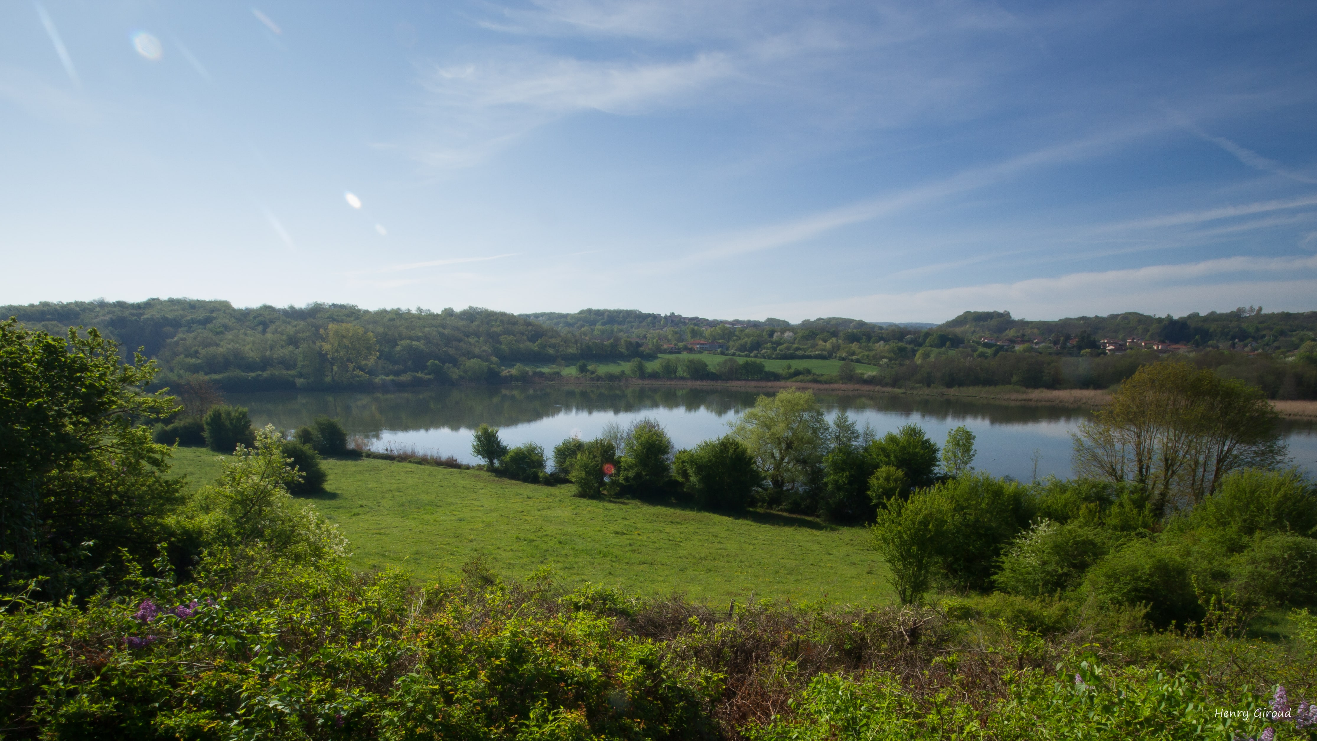
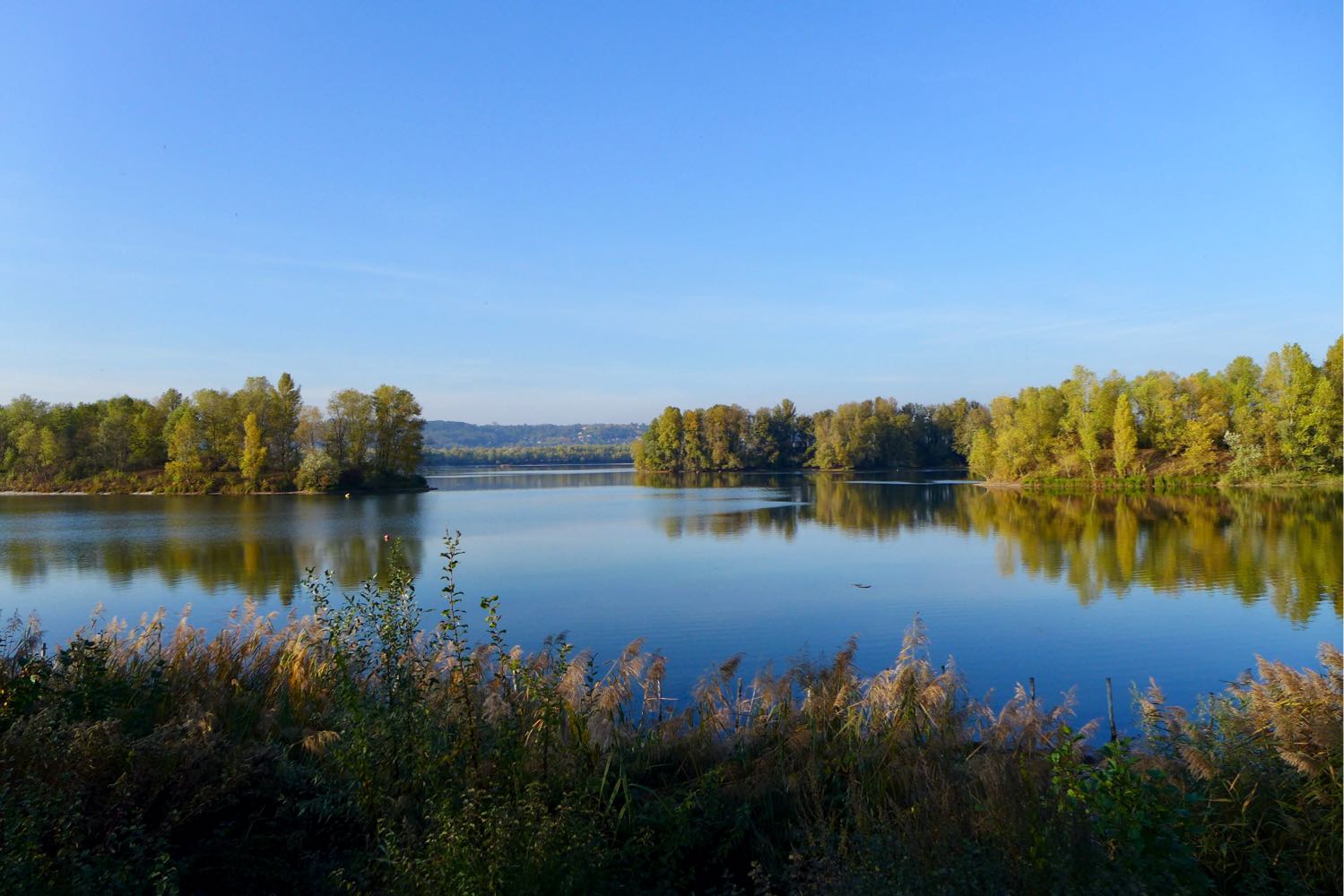
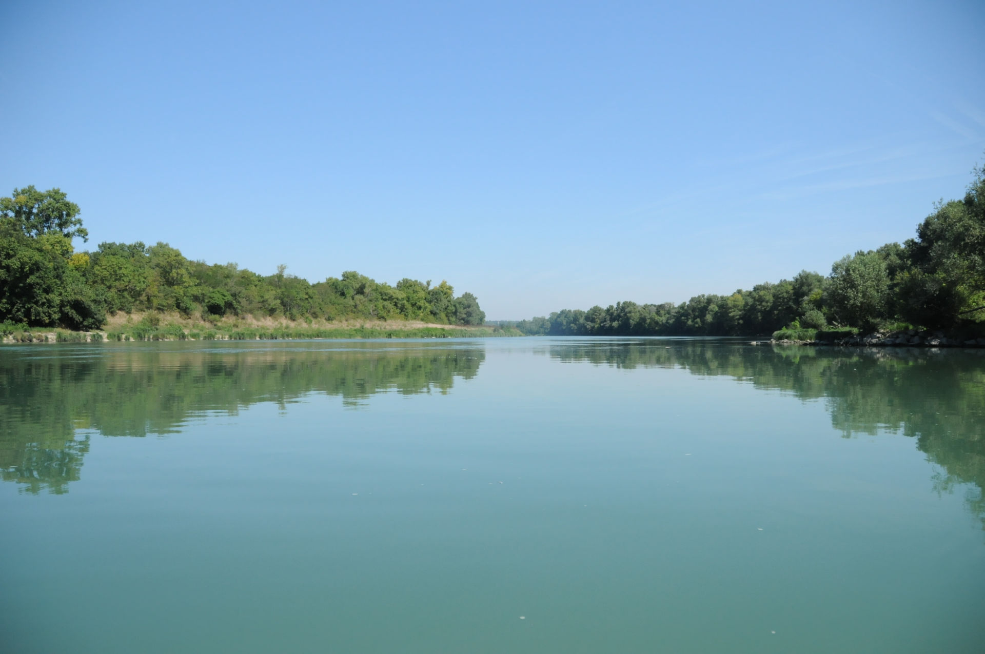
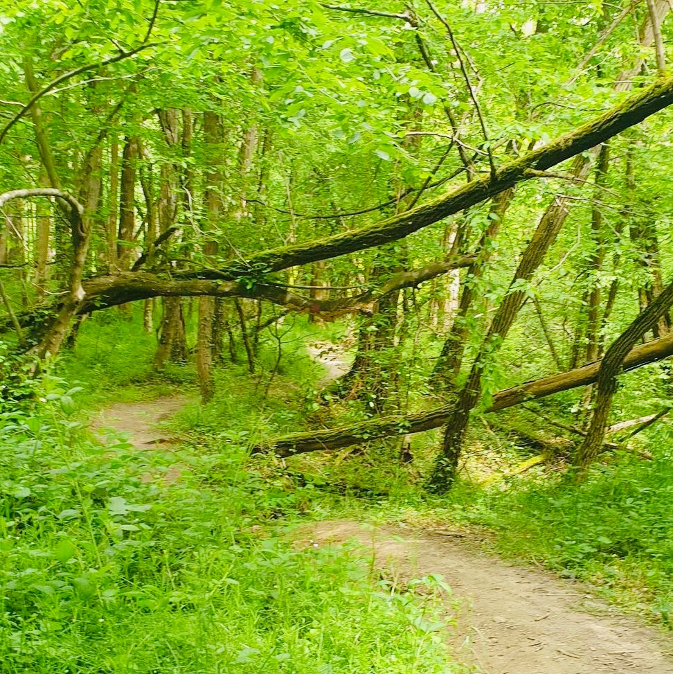
Here is a family-friendly walk north of the town of Valencin. The route makes a small loop on a path between fields and forests, in a pleasant and green setting.

Already more than 200,000 users!
Uphill
67m
Highest point
337m
Downhill
67m
Lowest point
283m
Route type
Loop
Download the map on your smartphone to save battery and rest assured to always keep access to the route, even without signal.
Includes IGN France and Swisstopo.
I indicate whether dogs are allowed or prohibited on this trail
All year
0 ratings
Also enjoy:

Already more than 200,000 users!