Uphill
53m
Length
11km
Duration
3h
Elev gain
53m
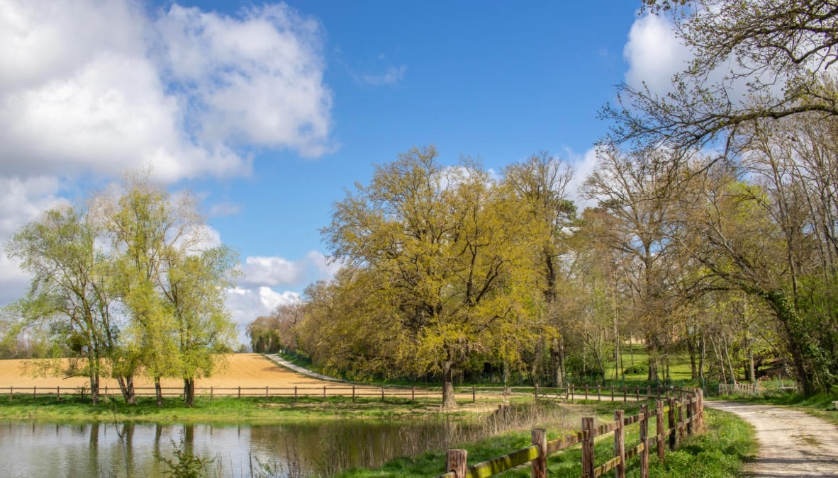
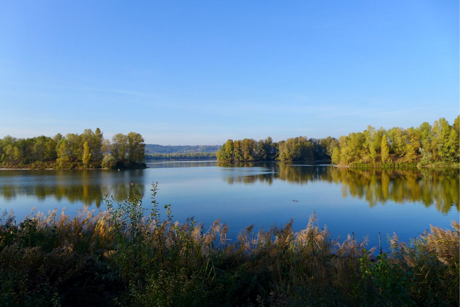
Stroll around the Eaux Bleues lake in the Miribel Jonage park. The trail is located closer to the water, allowing you to discover beaches and peninsulas.
⚠️ Please note: the route is sometimes partially closed due to flooding, which then prevents you from going around the lake completely. Find out in advance on the park's website, particularly on the opening of the "passage des 2 lacs".

Already more than 200,000 users!
Uphill
53m
Highest point
187m
Downhill
53m
Lowest point
164m
Route type
Loop
Download the map on your smartphone to save battery and rest assured to always keep access to the route, even without signal.
Includes IGN France and Swisstopo.
I indicate whether dogs are allowed or prohibited on this trail
All year
1 rating
Also enjoy:

Already more than 200,000 users!