Uphill
562m
Length
12km
Duration
4h30min
Elev gain
562m
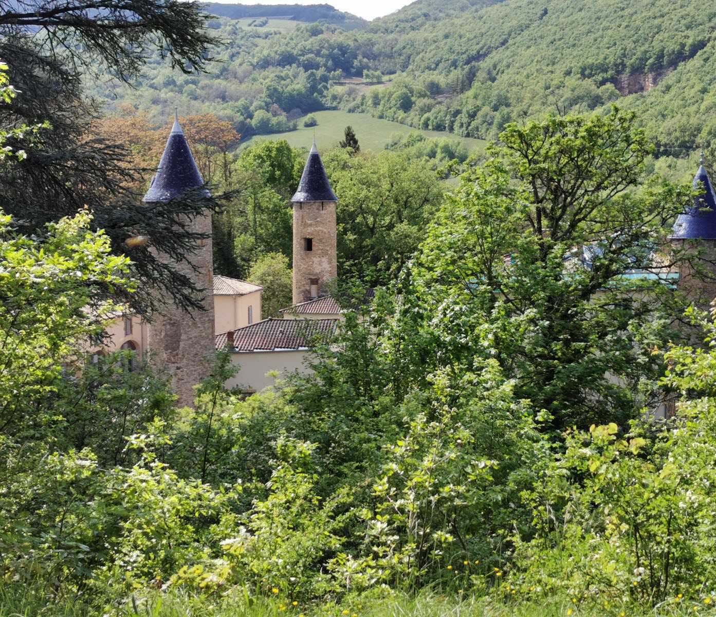
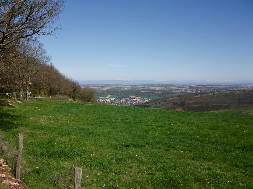
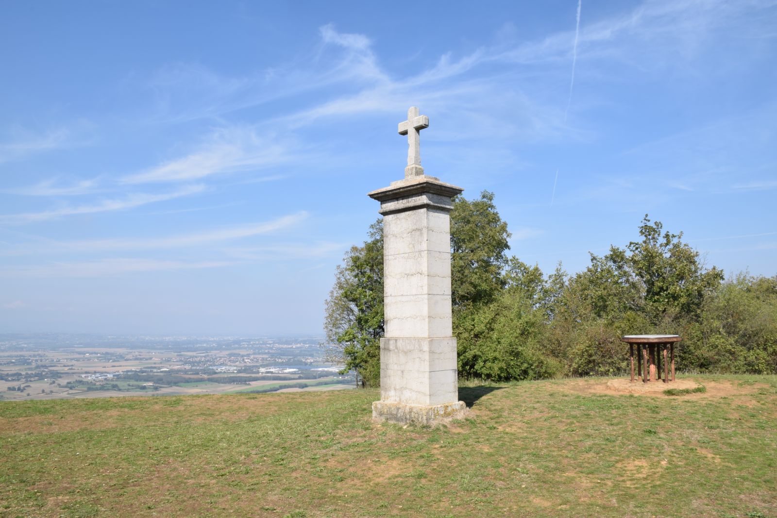
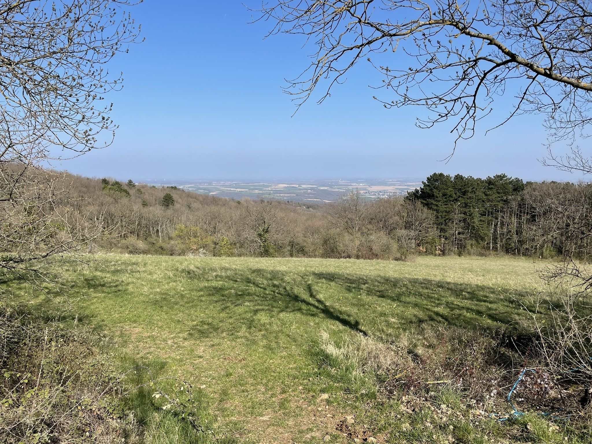
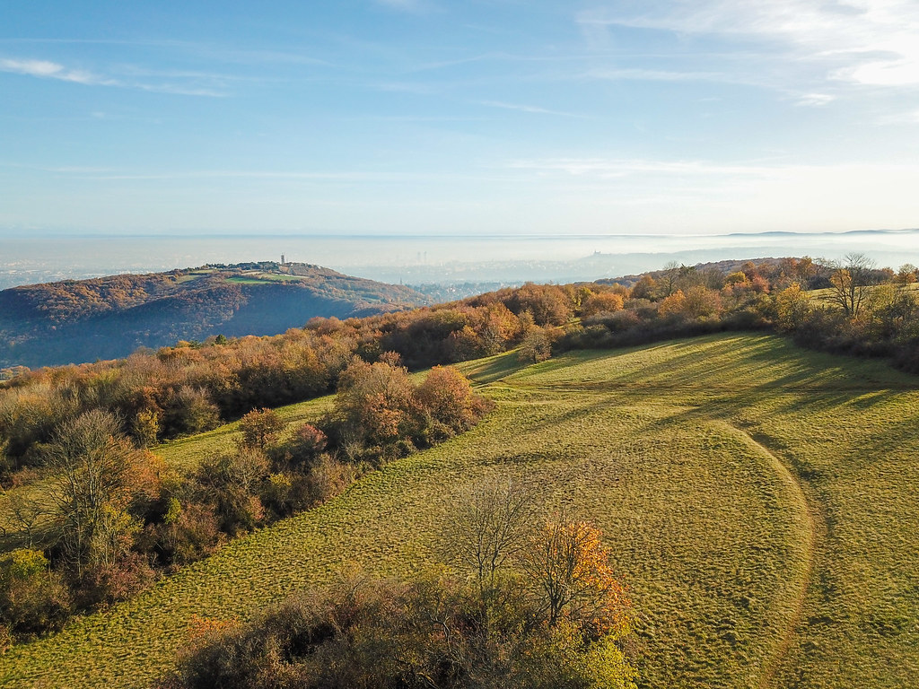
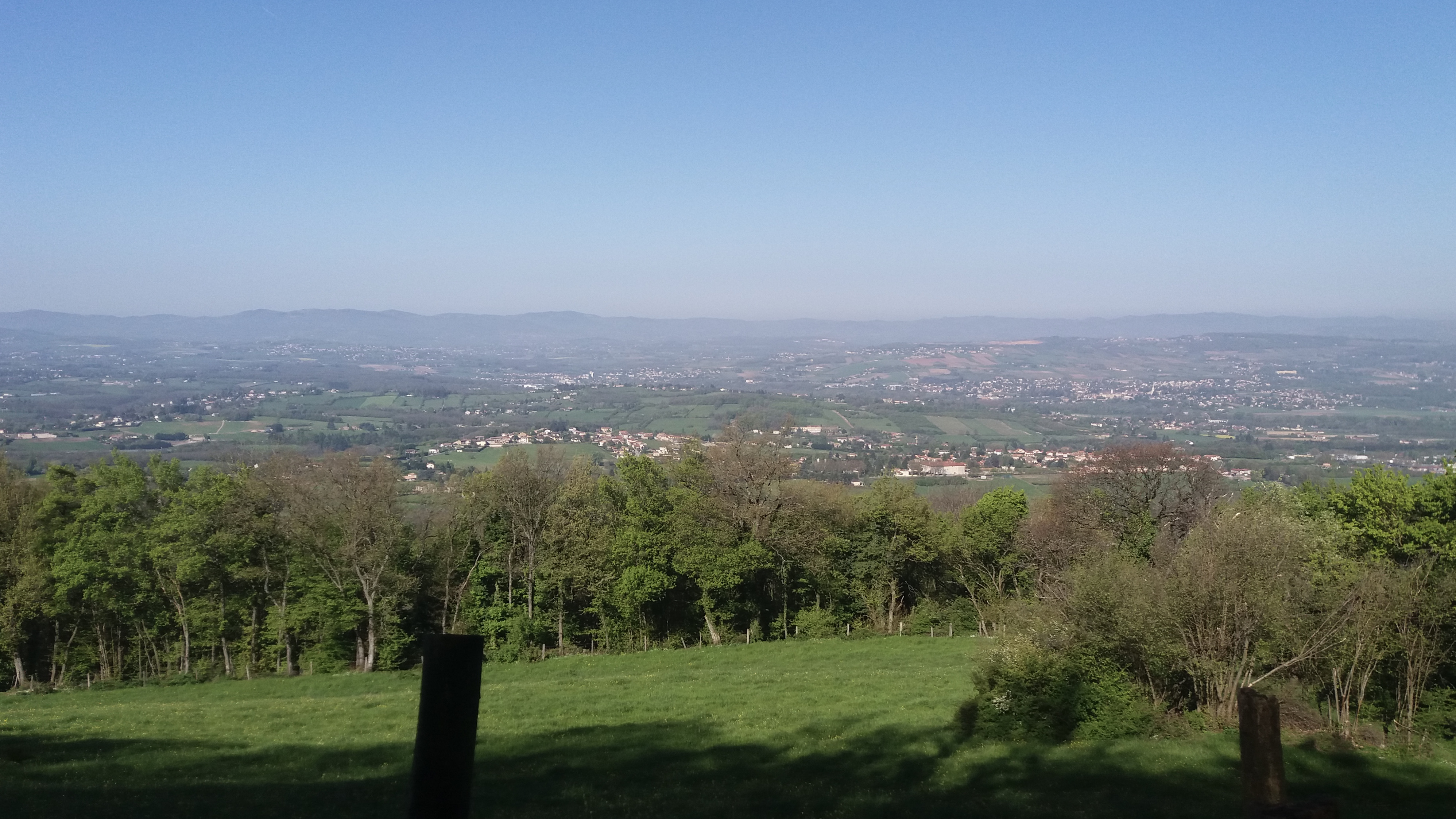
Starting from Curis-au-Mont-d'Or, this hike makes a nice loop on the heights of the town. The route passes very close to the Crêt d'Albigny and Mont Thou, and joins Mont Py (566 m) before returning to the starting point via the Rampau cross.

Already more than 200,000 users!
Uphill
562m
Highest point
568m
Downhill
562m
Lowest point
218m
Route type
Loop
Download the map on your smartphone to save battery and rest assured to always keep access to the route, even without signal.
Includes IGN France and Swisstopo.
I indicate whether dogs are allowed or prohibited on this trail
All year
3 ratings
Mal balisé, il faut avoir l’œil sur l’appli au moindre carrefour.
Jolis points de vue malgré tout, et très varié
Also enjoy:

Already more than 200,000 users!