Uphill
101m
Length
2km
Duration
1h
Elev gain
101m
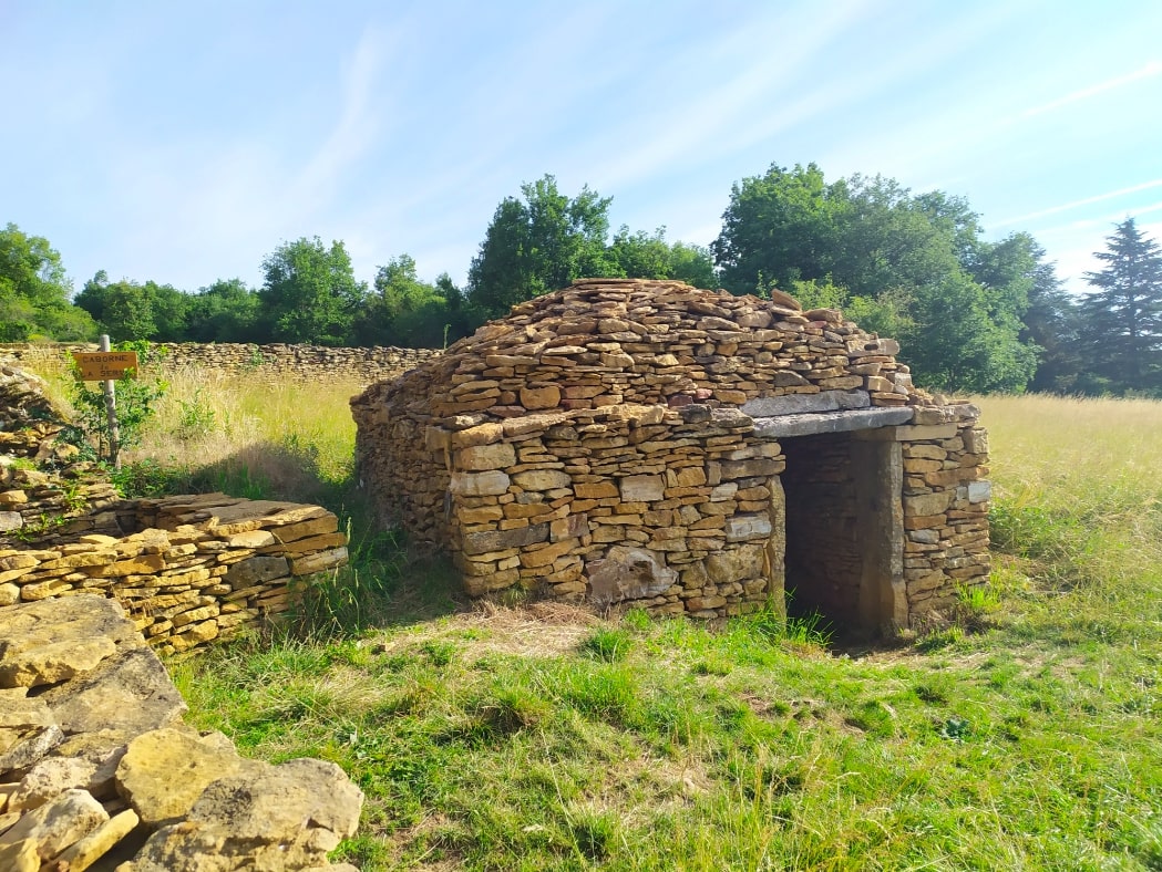
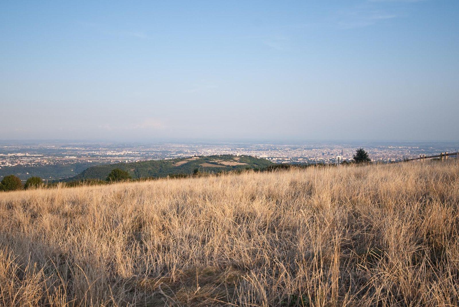
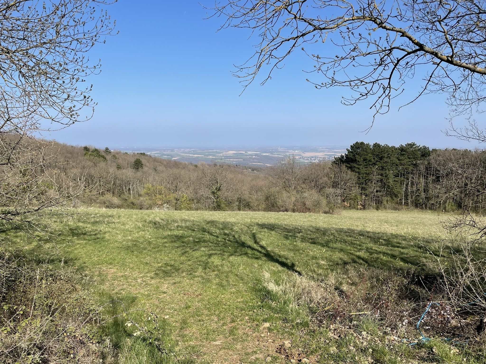
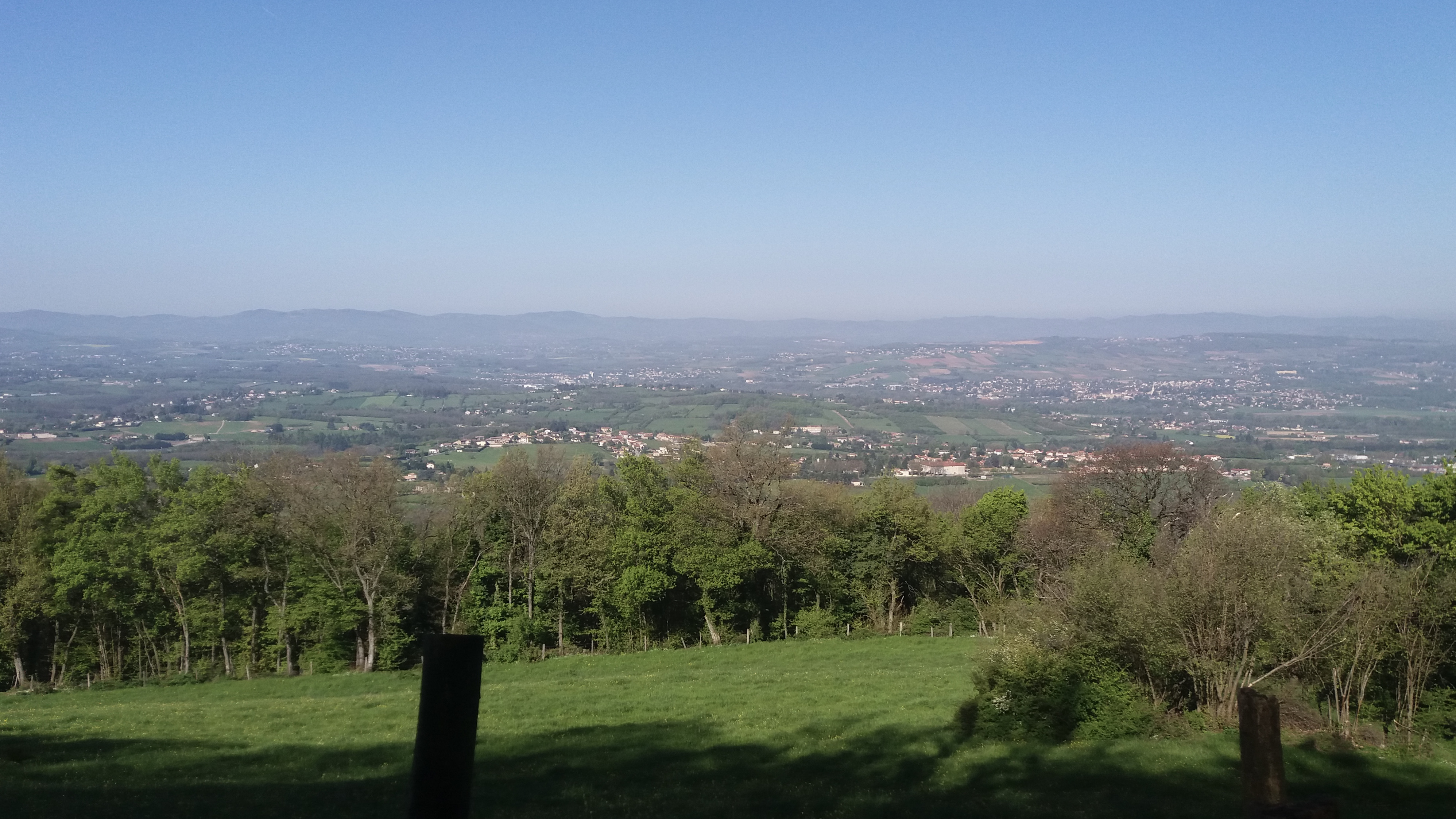
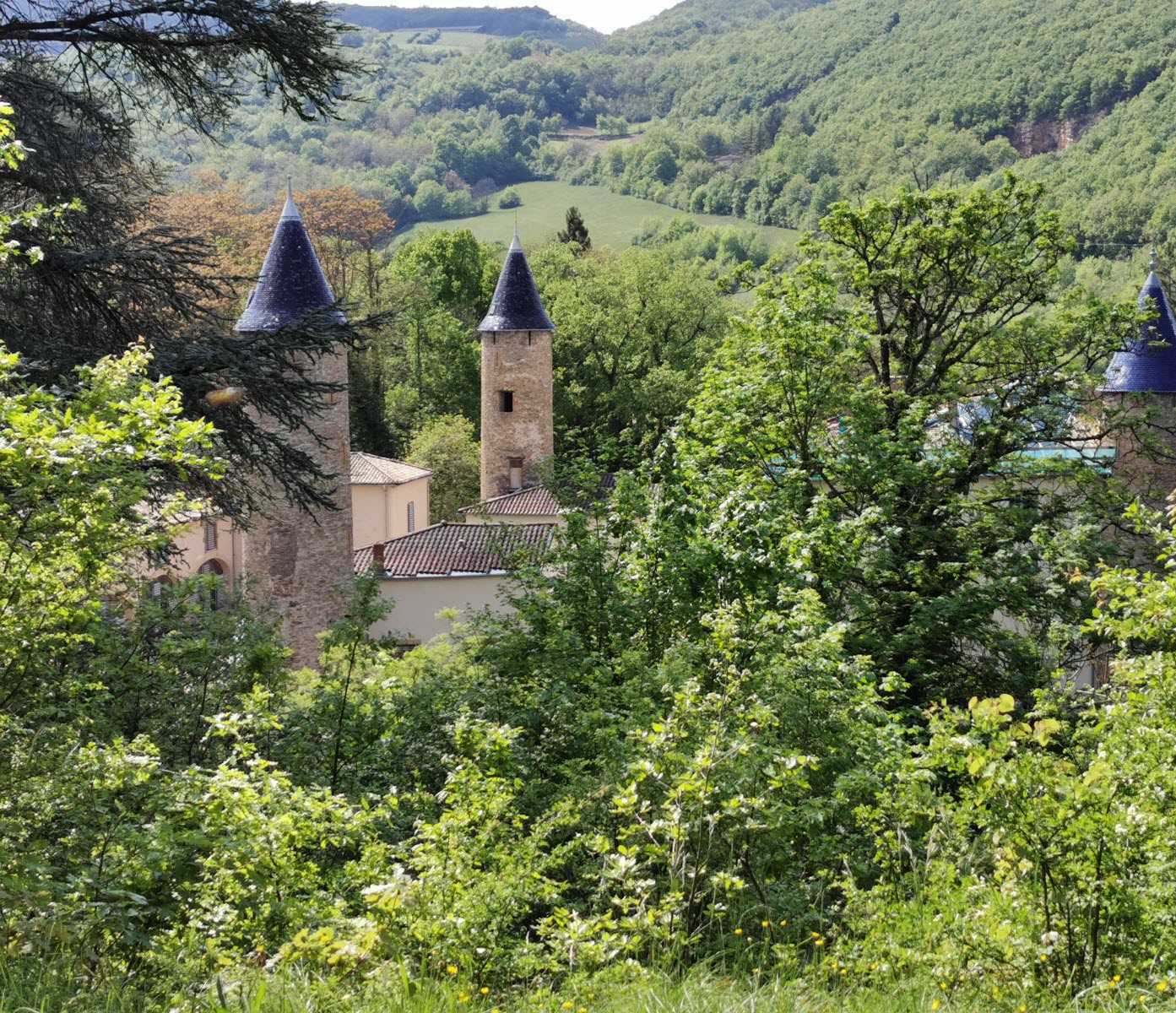
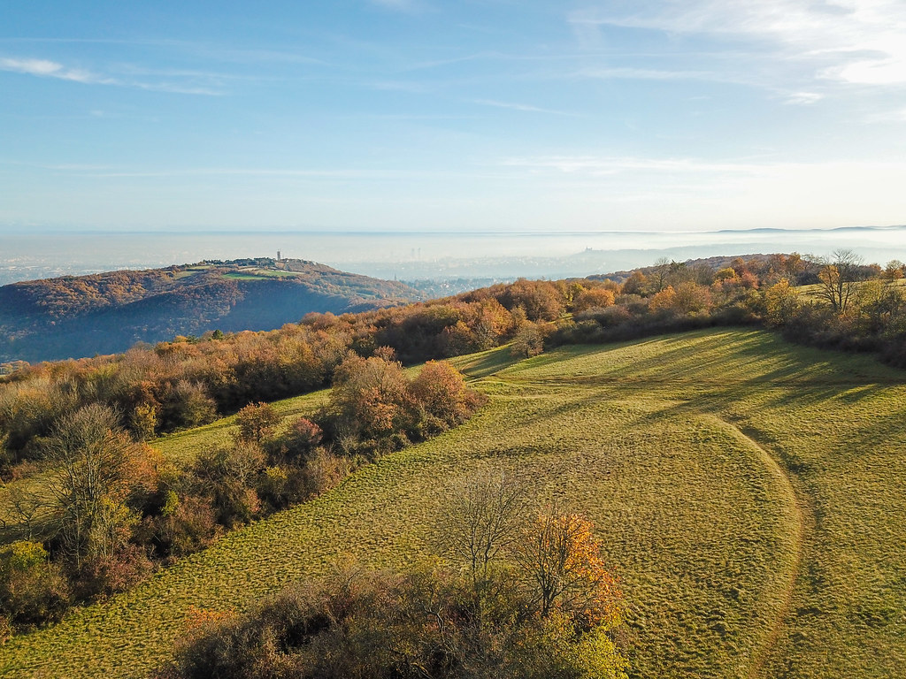
Departing from the Mount Thou orientation table, a short walk along the crests between meadows and undergrowth. Nice view over the Lyon metropolitan area.

Already more than 200,000 users!
Uphill
101m
Highest point
593m
Downhill
101m
Lowest point
487m
Route type
Loop
Download the map on your smartphone to save battery and rest assured to always keep access to the route, even without signal.
Includes IGN France and Swisstopo.
I indicate whether dogs are allowed or prohibited on this trail
All year
2 ratings
Also enjoy:

Already more than 200,000 users!