Uphill
147m
Length
4km
Duration
1h30min
Elev gain
147m
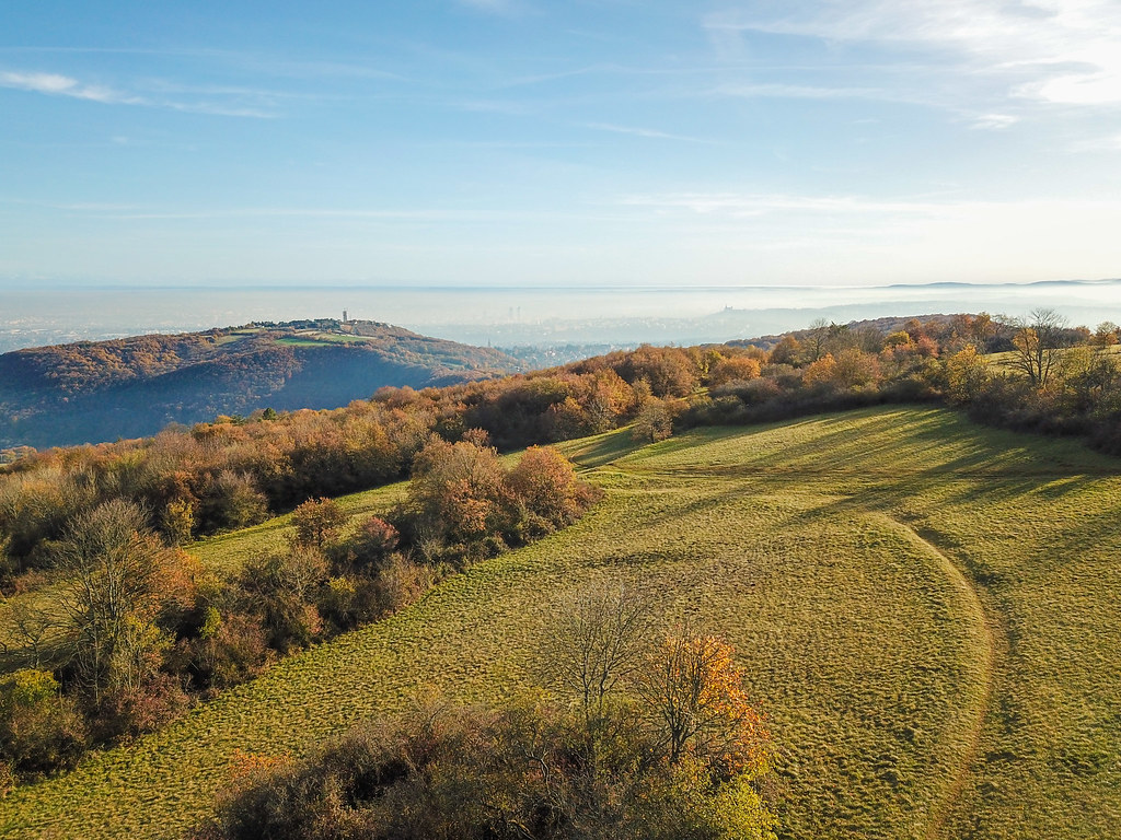
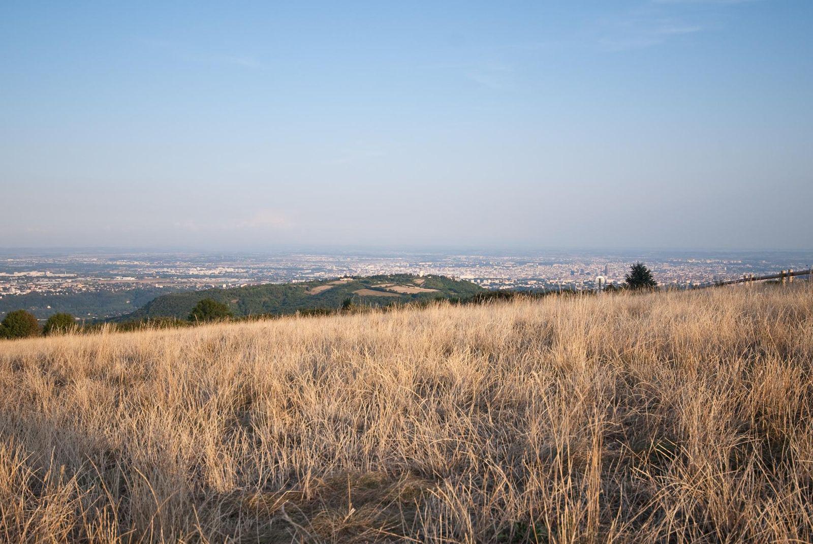
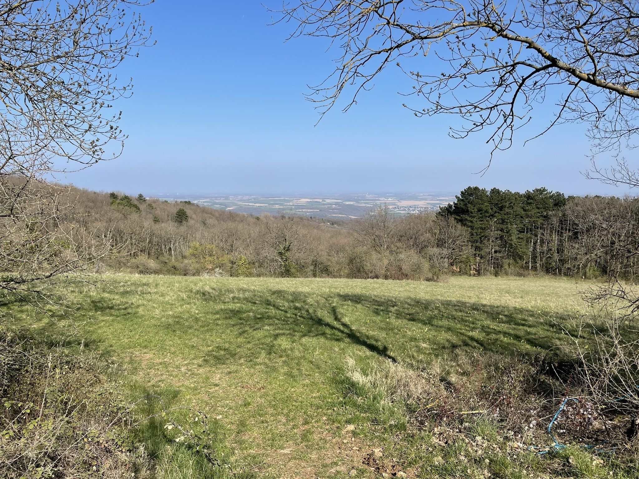
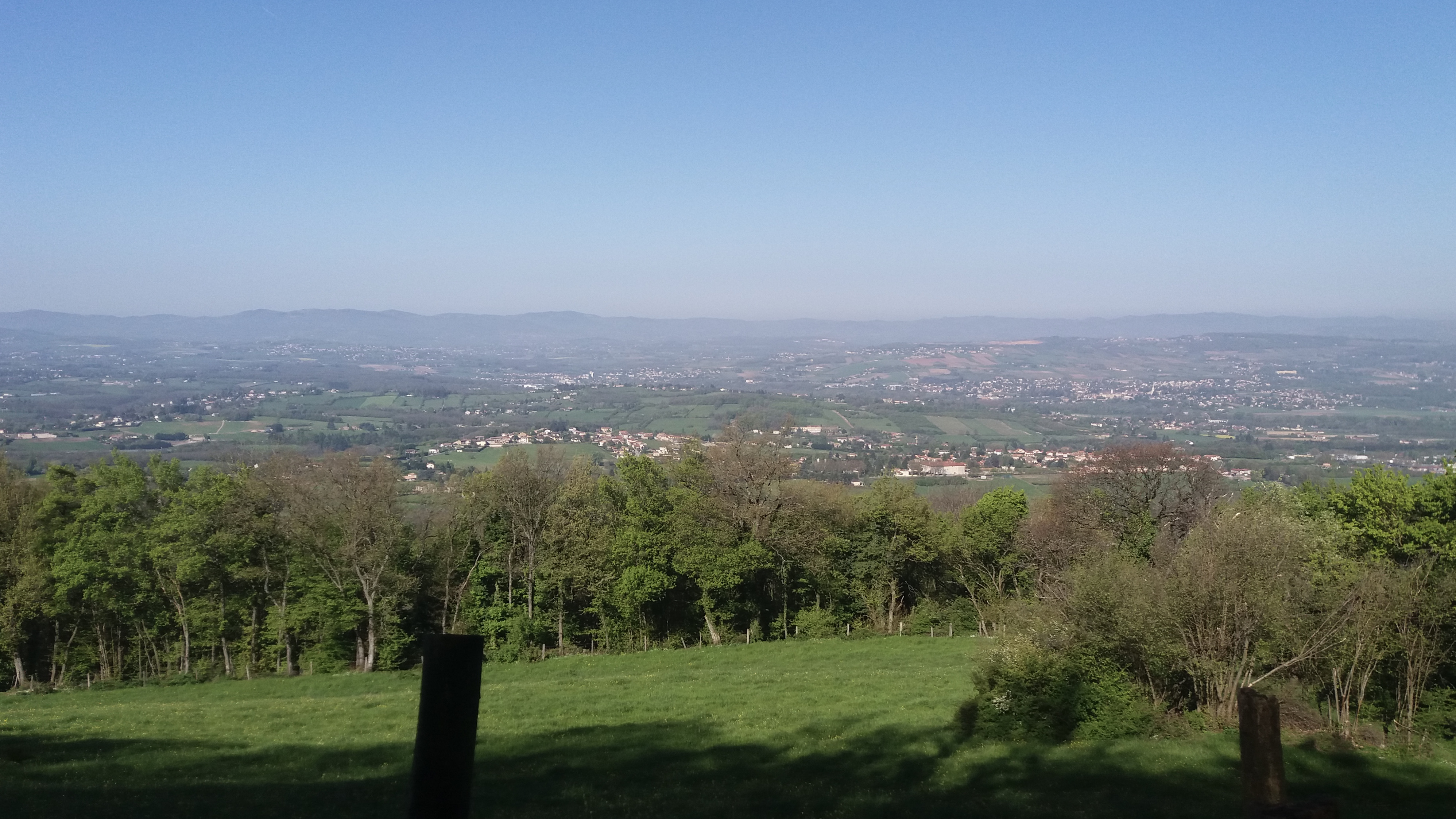
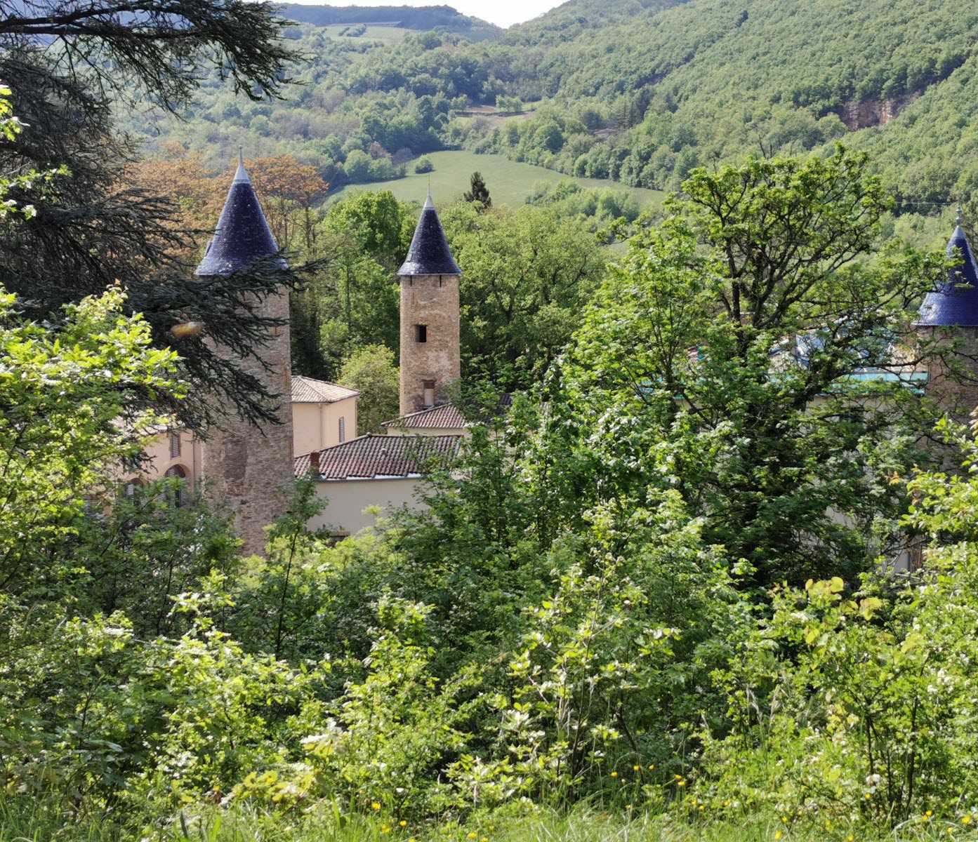
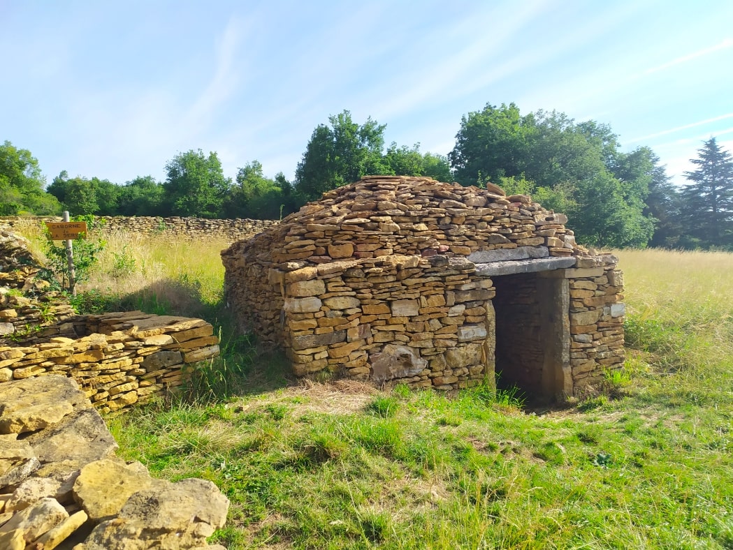
Here is a nice walk that leads to Mont de la Roche. The route, strewn with "cabornes", old dry stone huts, makes a loop on a natural path and offers beautiful points of view on the Monts du Lyonnais.

Already more than 200,000 users!
Uphill
147m
Highest point
516m
Downhill
147m
Lowest point
386m
Route type
Loop
Download the map on your smartphone to save battery and rest assured to always keep access to the route, even without signal.
Includes IGN France and Swisstopo.
I indicate whether dogs are allowed or prohibited on this trail
All year
0 ratings
Also enjoy:

Already more than 200,000 users!