Uphill
285m
France > Auvergne-Rhône-Alpes > Rhône
Length
6km
Duration
2h30min
Elev gain
285m
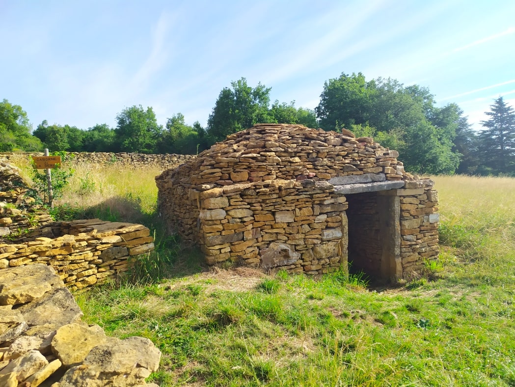
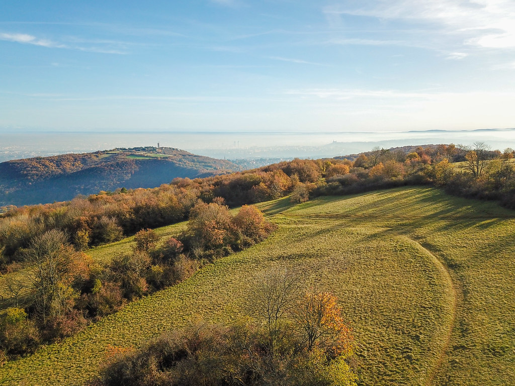
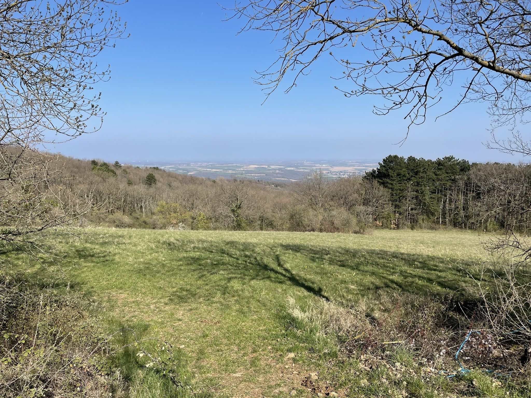
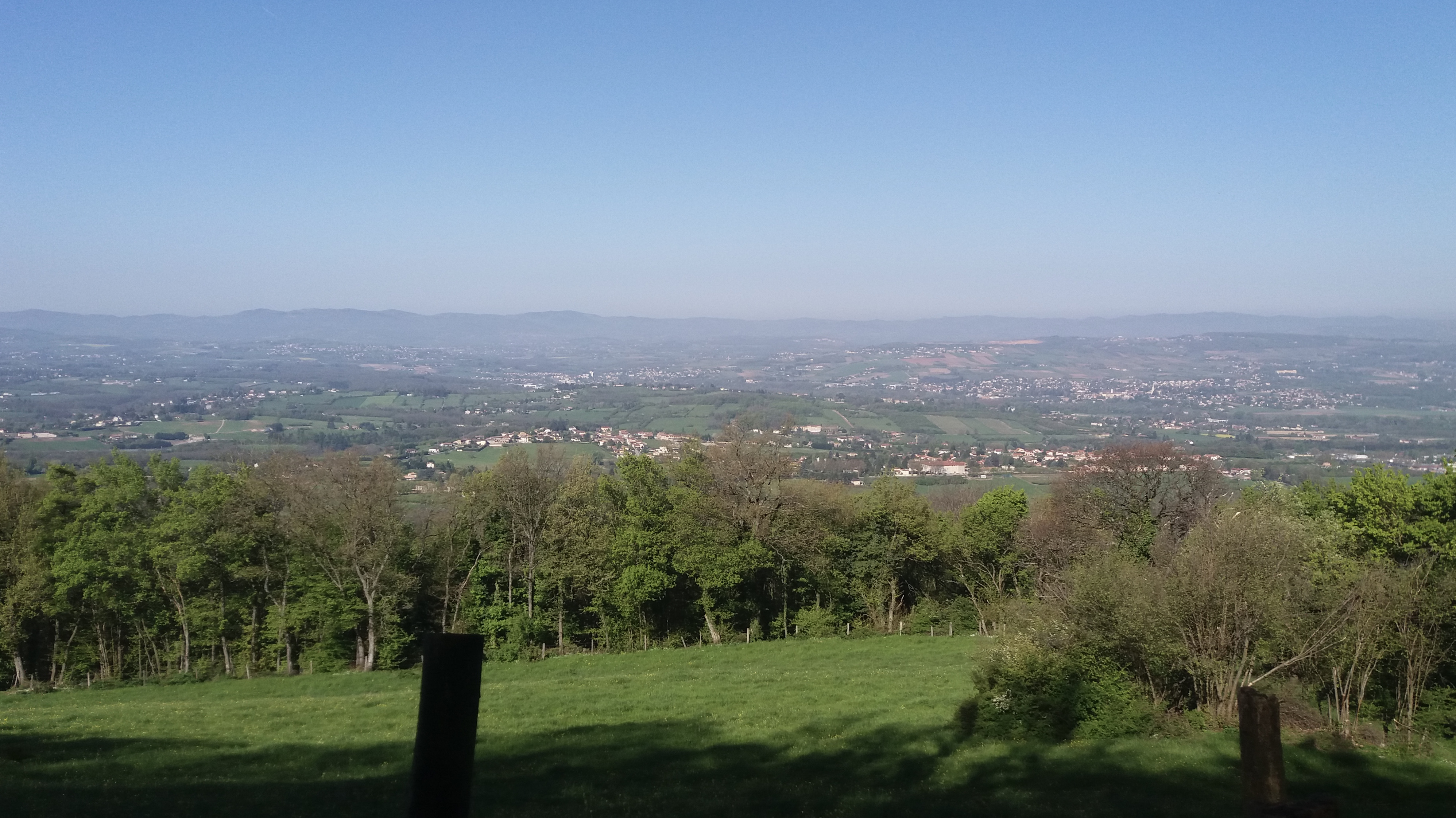
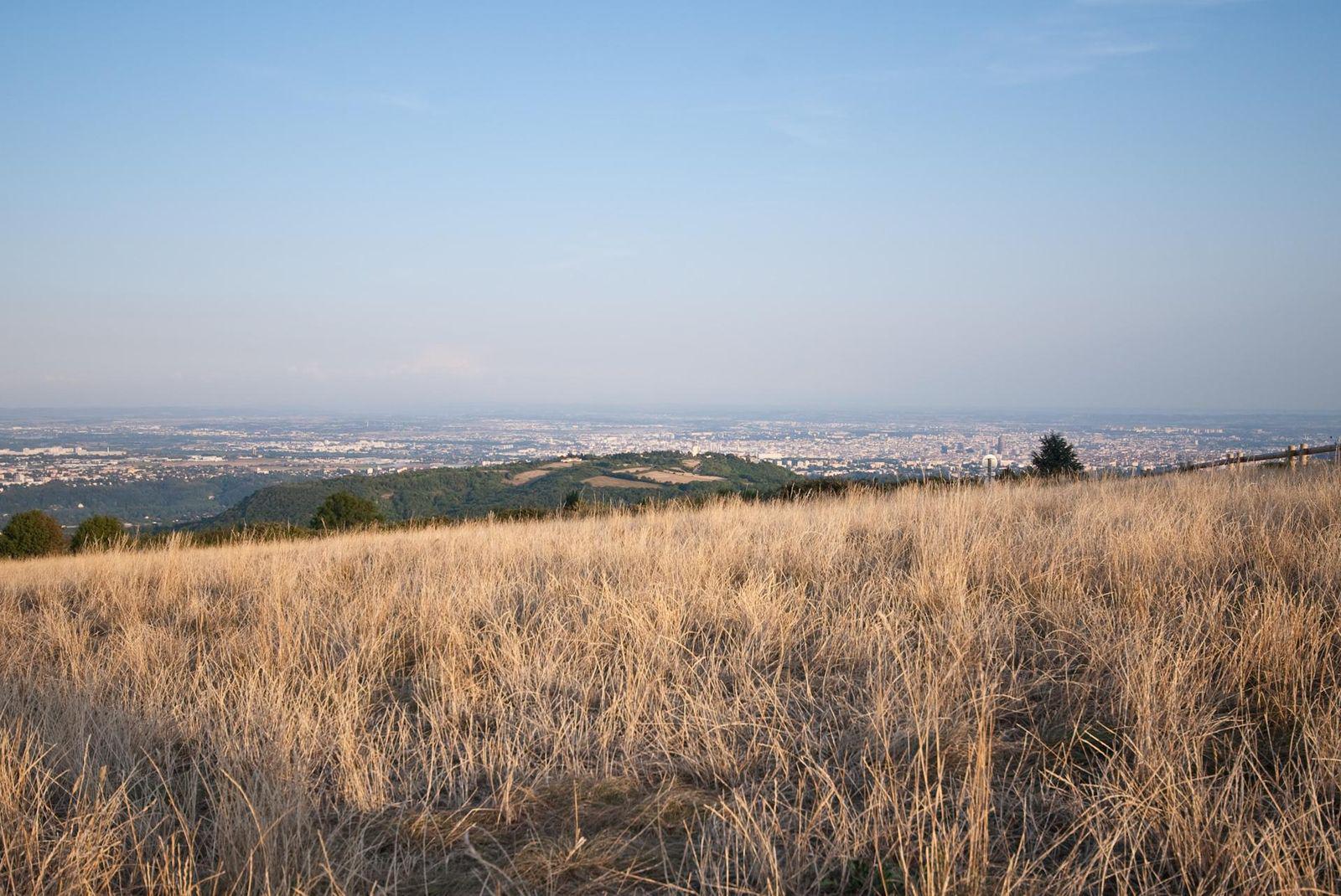
Leaving from Saint-Cyr-au-Mont-d'Or, this pretty hike leads to Mont Thou (609 m), the second highest peak of the Monts d'Or. The trail goes through Mont de la Roche and the Mont Thou pass, before coming out on Mont Thou. At the top, the panoramic view of the Lyon conurbation and the Alps is spectacular. You then have to go back down to the starting point by a path parallel to the one taken on the way out.

Already more than 200,000 users!
Uphill
285m
Highest point
600m
Downhill
285m
Lowest point
334m
Route type
Loop
Download the map on your smartphone to save battery and rest assured to always keep access to the route, even without signal.
Includes IGN France and Swisstopo.
I indicate whether dogs are allowed or prohibited on this trail
All year
2 ratings
Also enjoy:

Already more than 200,000 users!