Uphill
232m
Length
5km
Duration
2h
Elev gain
232m
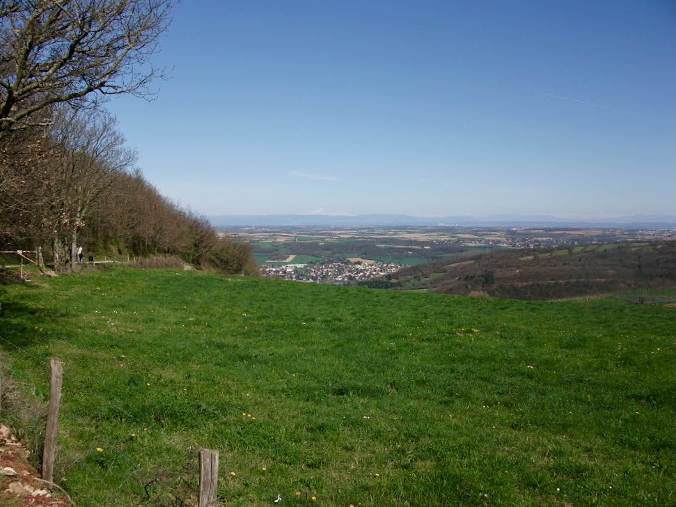
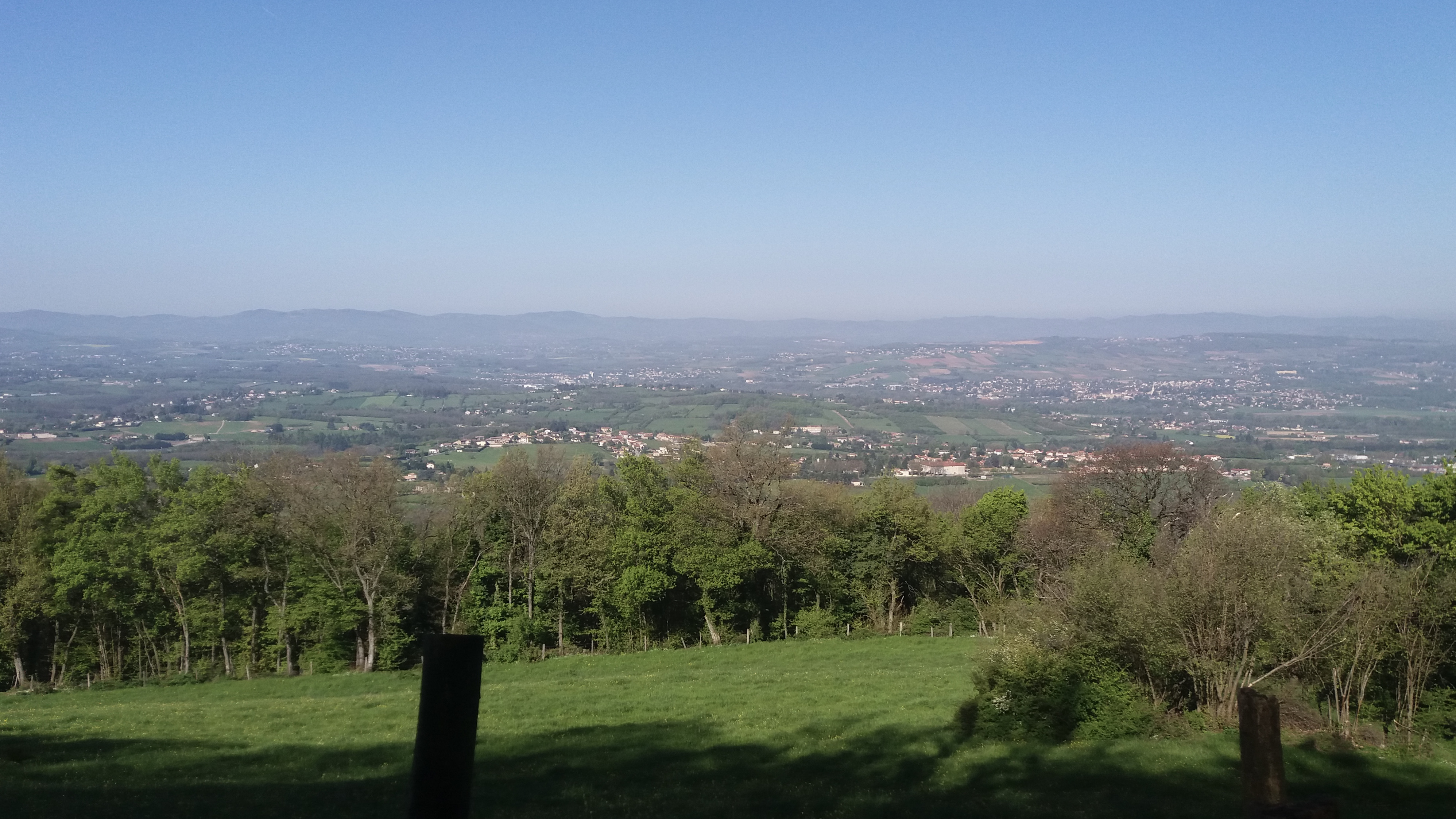
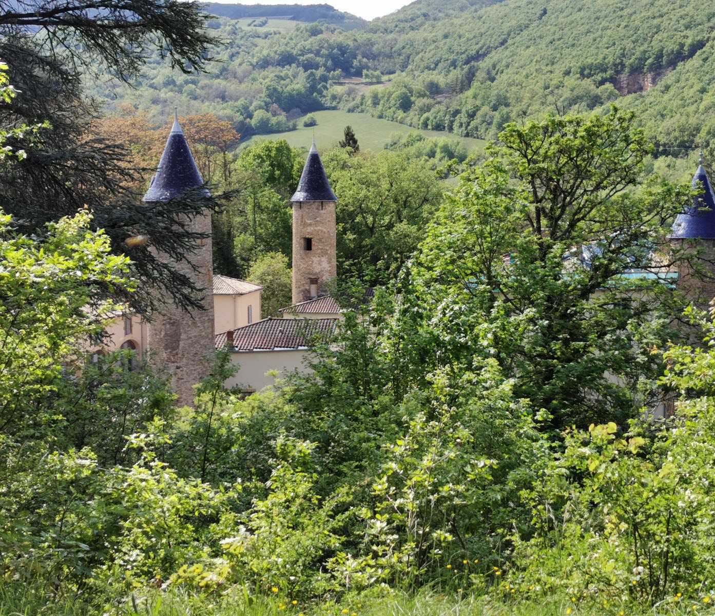
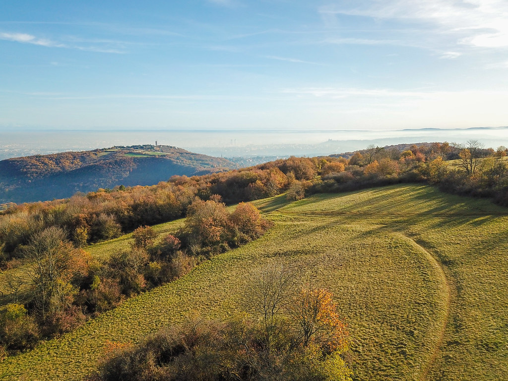
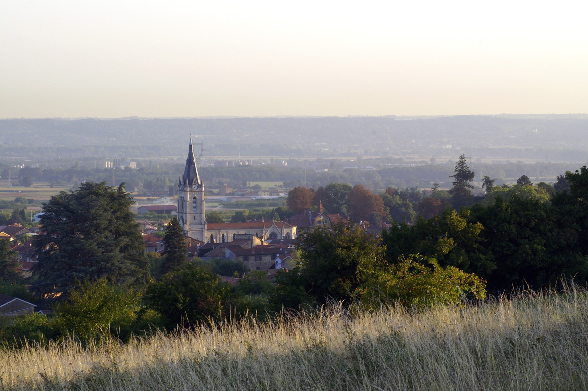
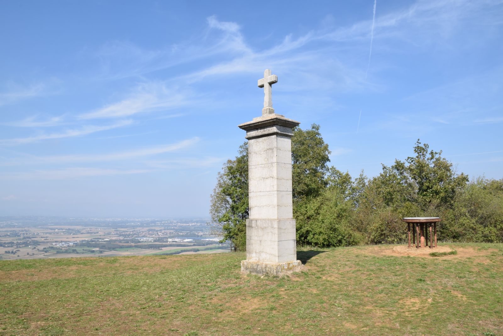
Nice hike near Saint-Germain-au-Mont-d'Or. The course makes a loop on a path alternating between forest and fields, and leading to the Croix Rampau, where the panorama is stunning.

Already more than 200,000 users!
Uphill
232m
Highest point
462m
Downhill
232m
Lowest point
261m
Route type
Loop
Download the map on your smartphone to save battery and rest assured to always keep access to the route, even without signal.
Includes IGN France and Swisstopo.
I indicate whether dogs are allowed or prohibited on this trail
All year
2 ratings
Also enjoy:

Already more than 200,000 users!