Uphill
81m

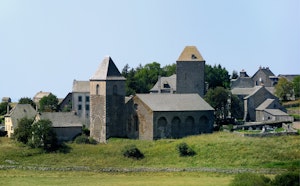
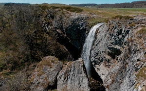
France > Auvergne-Rhône-Alpes > Cantal > Aubrac Nature Park
Length
6km
Duration
1h30min
Elev gain
81m
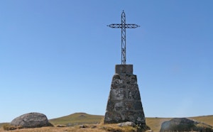
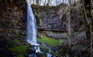
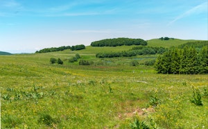
This route makes a loop in the heart of the wood of Saint-Urcize, alternating between dense vegetation and meadows. A very beautiful natural setting.

Already more than 200,000 users!
Uphill
81m
Highest point
1358m
Downhill
81m
Lowest point
1301m
Route type
Loop
Download the map on your smartphone to save battery and rest assured to always keep access to the route, even without signal.
Includes IGN France and Swisstopo.
I indicate whether dogs are allowed or prohibited on this trail
Can be difficult in Winter
1 rating
Also enjoy:

Already more than 200,000 users!