Uphill
264m
Length
12km
Duration
3h30min
Elev gain
264m
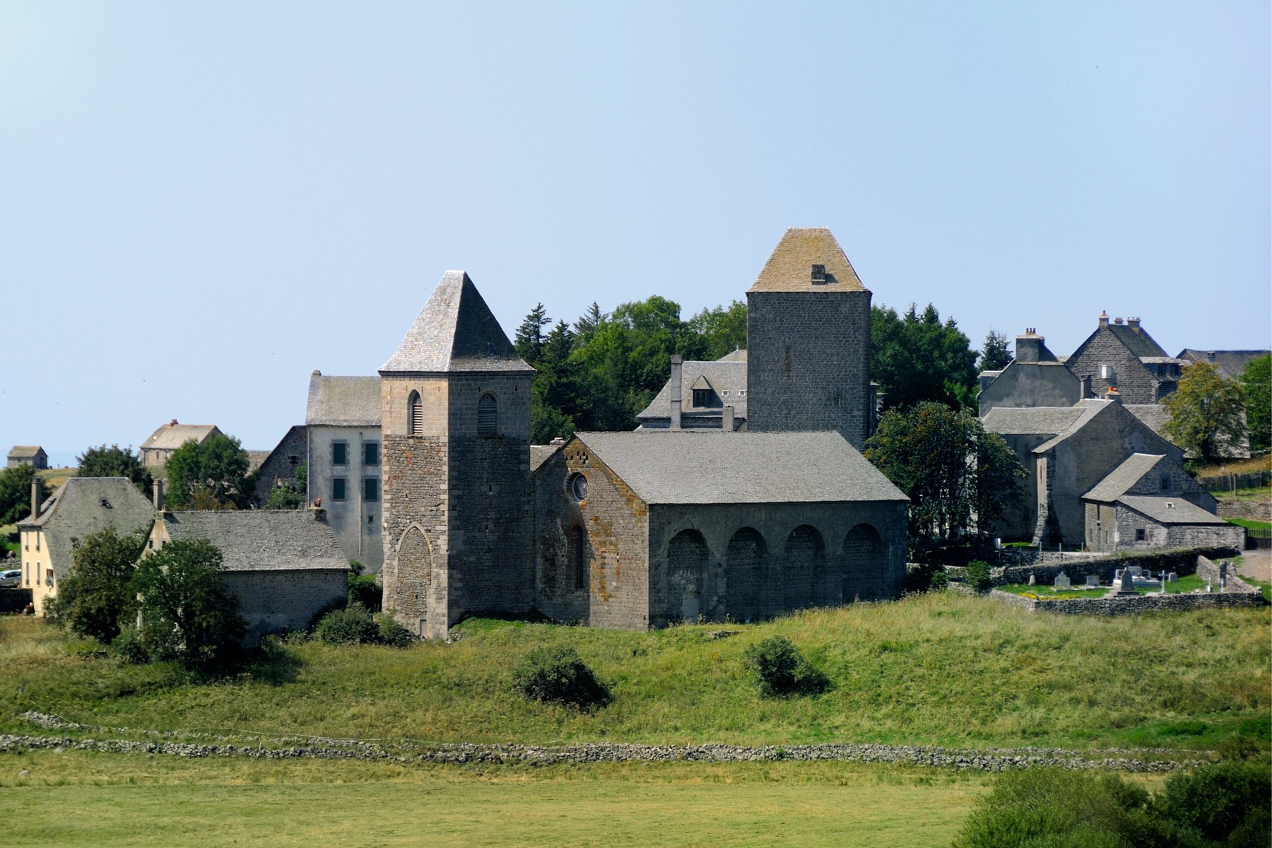
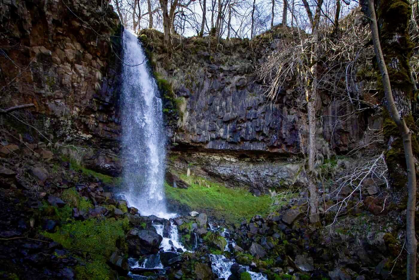
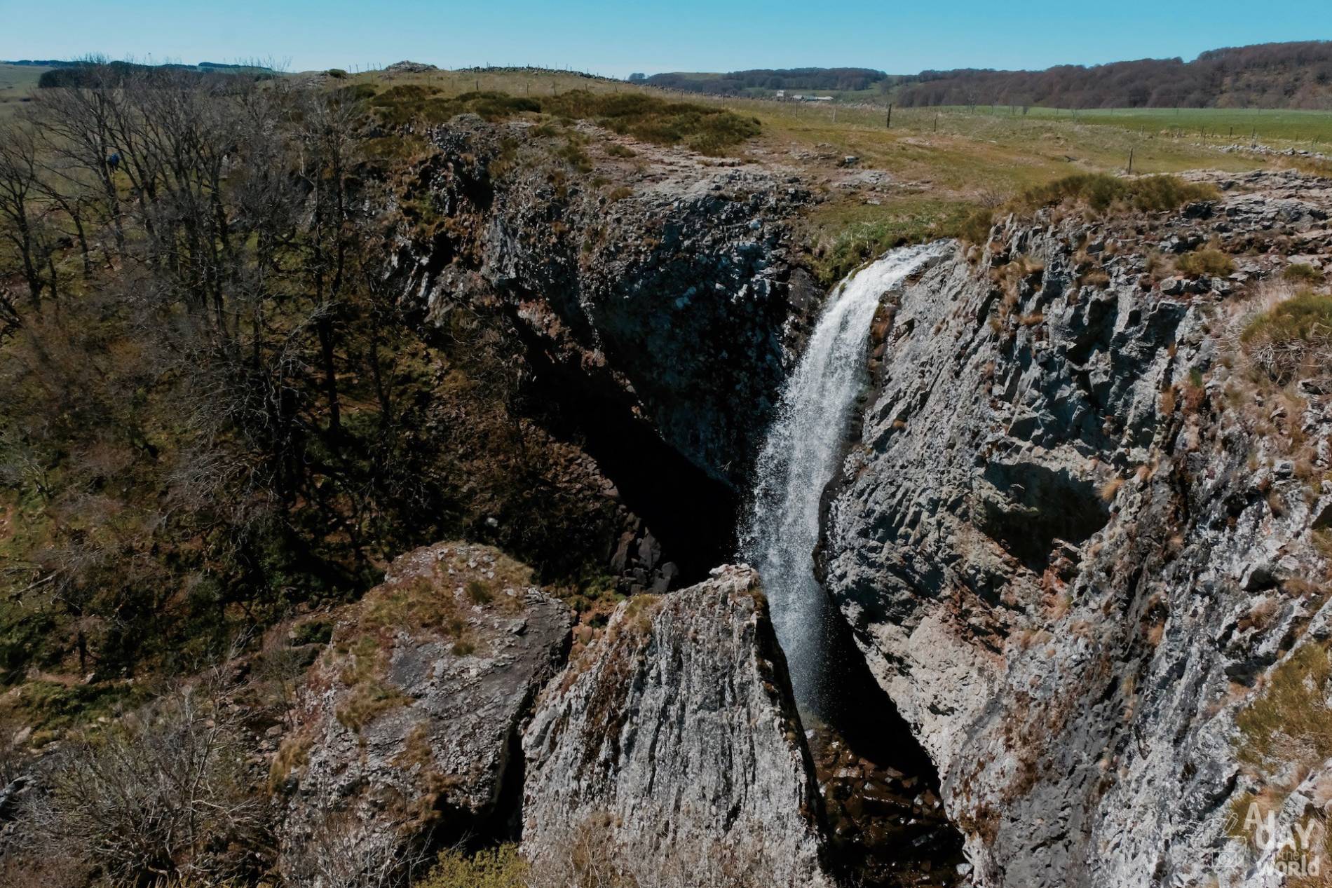
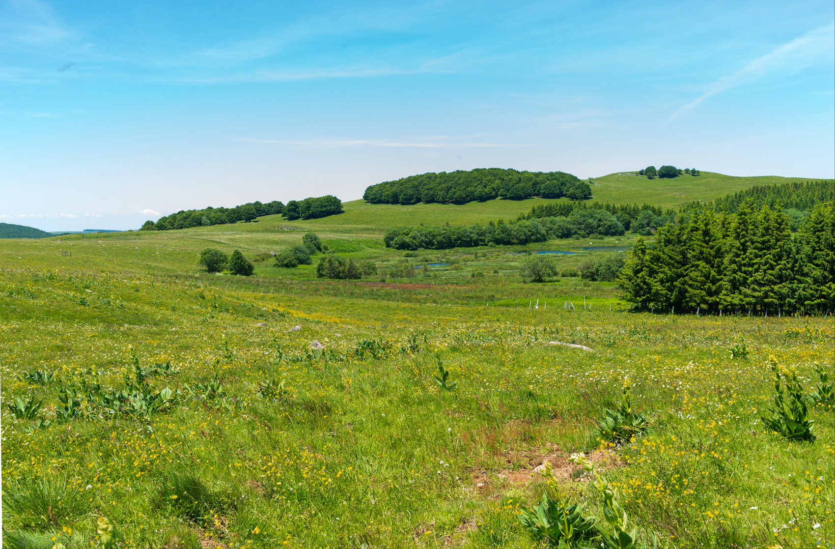
Here is a very nice hike from Aubrac. The first part of the route is in the middle of pastures while the second part is mainly in the forest. Halfway through, the trail crosses the charming Pendouliou plateau before taking an old Roman road towards the starting point.

Already more than 200,000 users!
Uphill
264m
Highest point
1345m
Downhill
264m
Lowest point
1194m
Route type
Loop
Download the map on your smartphone to save battery and rest assured to always keep access to the route, even without signal.
Includes IGN France and Swisstopo.
I indicate whether dogs are allowed or prohibited on this trail
Can be difficult in Winter
2 ratings
Also enjoy:

Already more than 200,000 users!