Uphill
554m
Length
14km
Duration
5h
Elev gain
554m
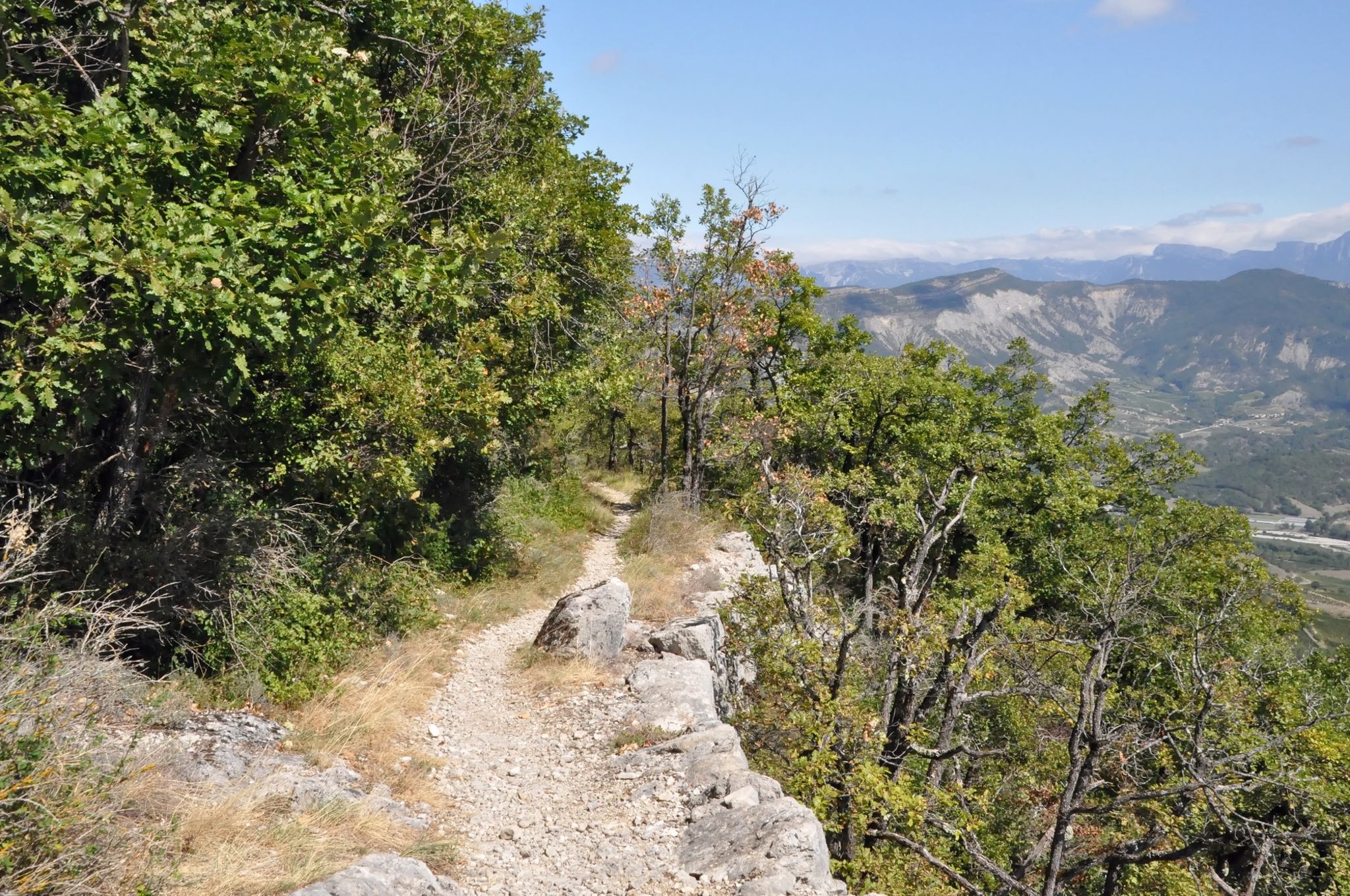
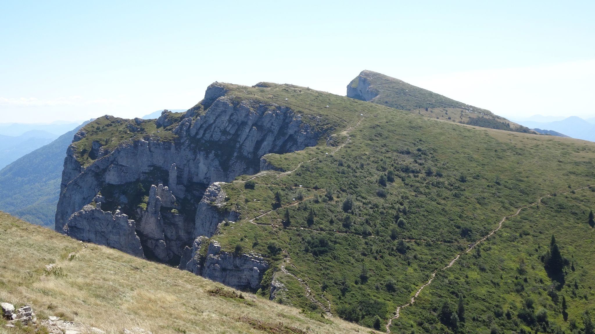
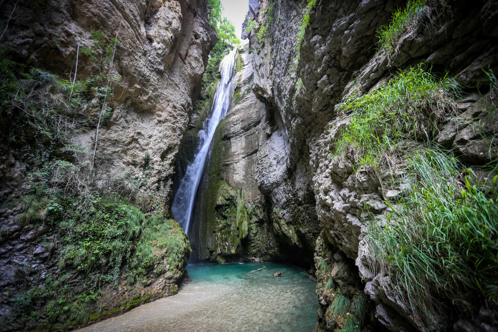
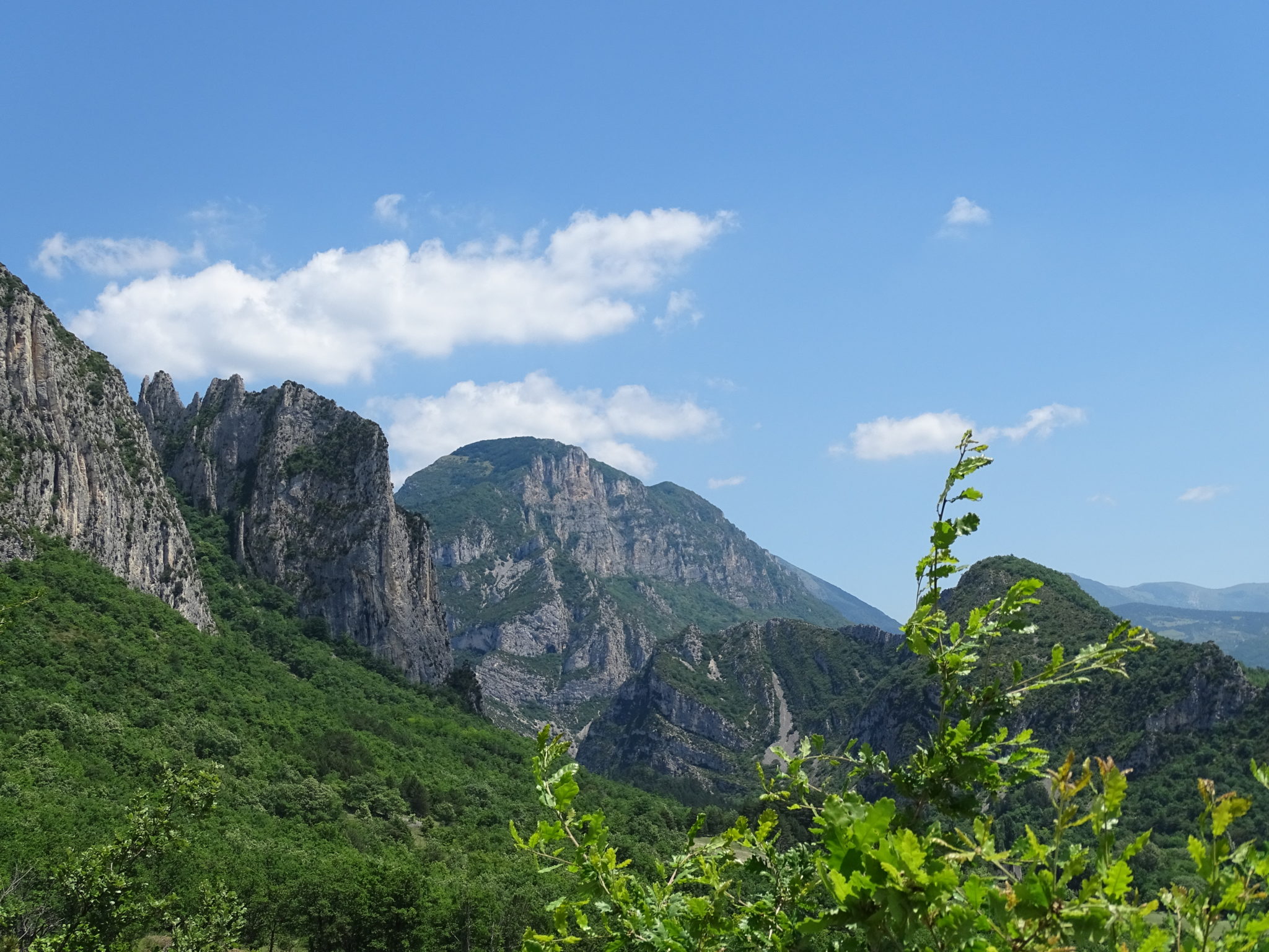
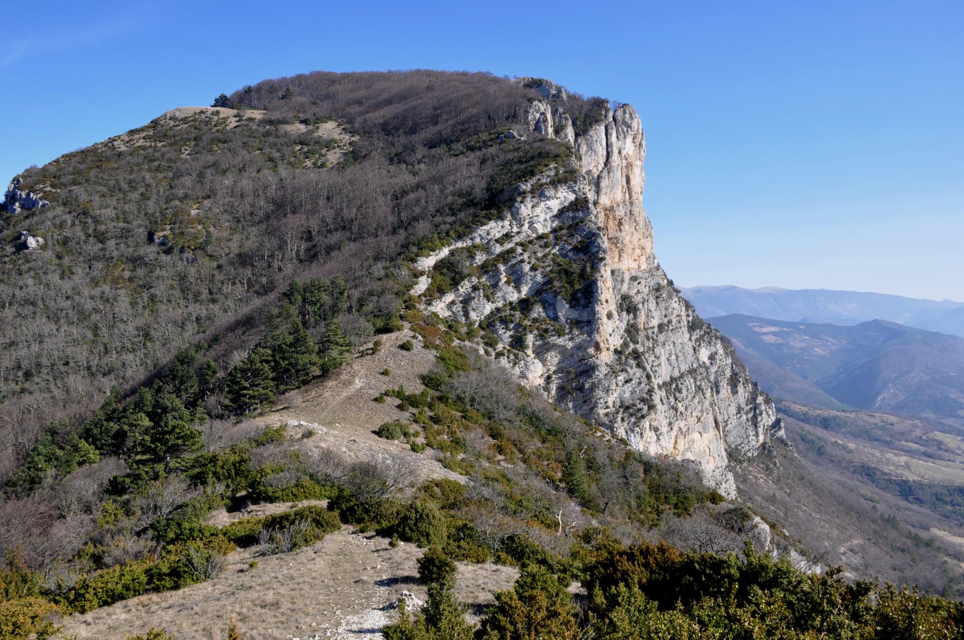
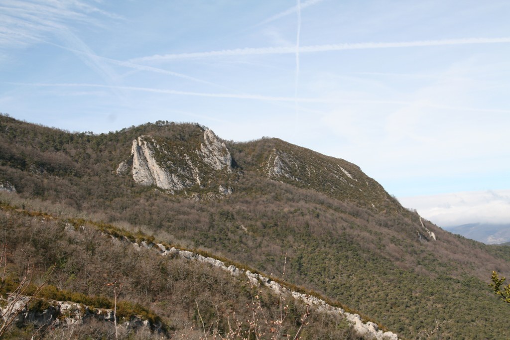
Loop hike offering beautiful panoramas of the Vercors, and passing through the ruins of the Château du Barry. The first kilometer is on a road.

Already more than 200,000 users!
Uphill
554m
Highest point
980m
Downhill
554m
Lowest point
438m
Route type
Loop
Download the map on your smartphone to save battery and rest assured to always keep access to the route, even without signal.
Includes IGN France and Swisstopo.
I indicate whether dogs are allowed or prohibited on this trail
All year
0 ratings
Also enjoy:

Already more than 200,000 users!