Uphill
132m
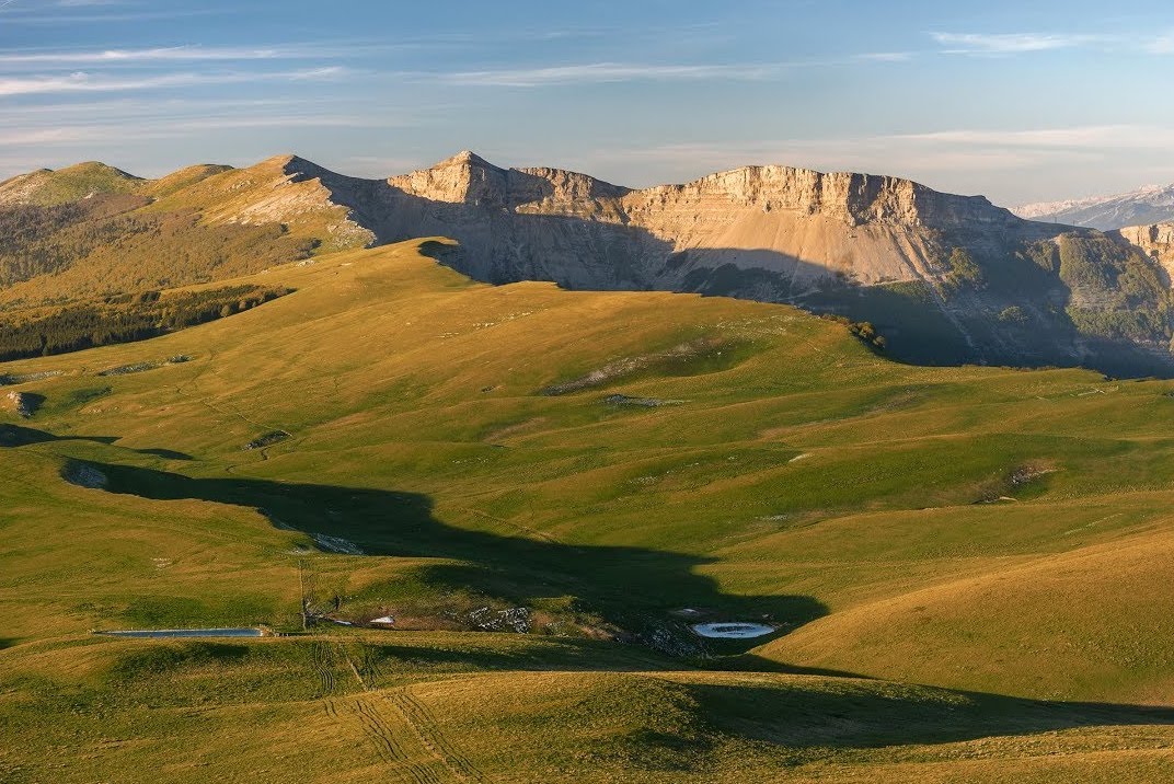
France > Auvergne-Rhône-Alpes > Drôme > Vercors Regional Natural Park
Length
2km
Duration
1h
Elev gain
132m
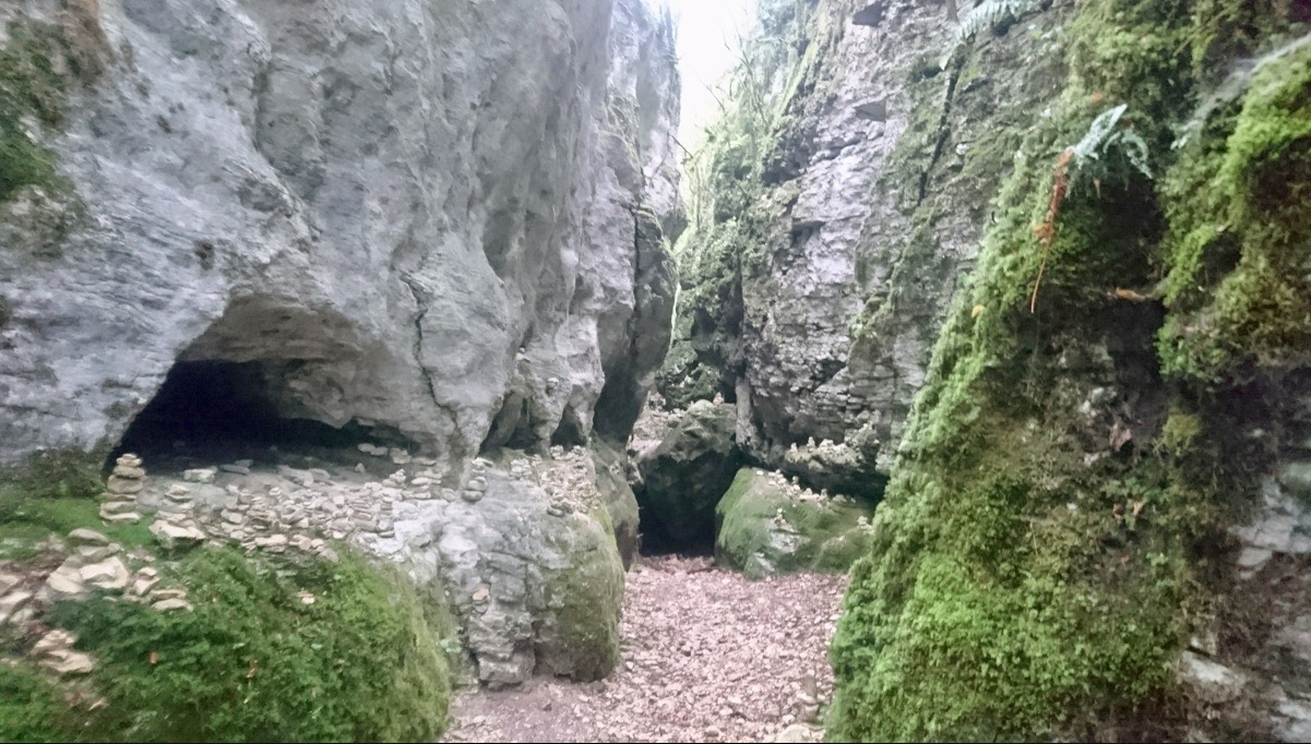
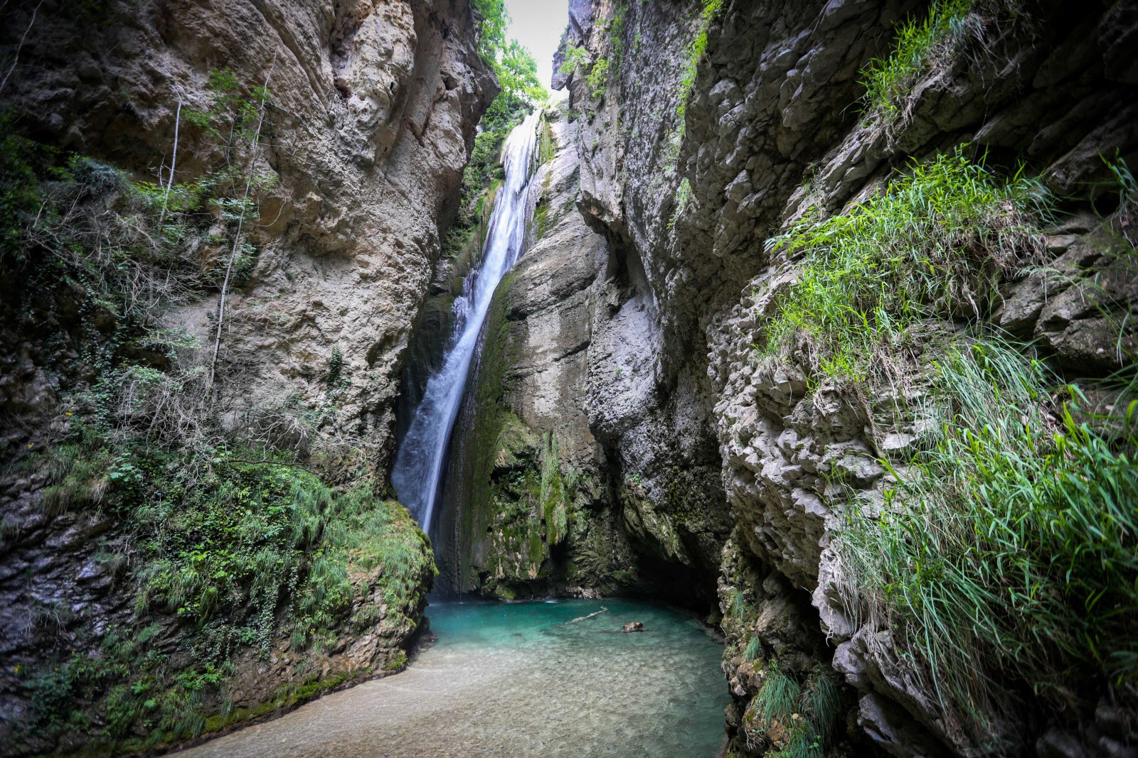
Walk to the impressive Druise waterfall, 72 meters high and located on the course of the Gervanne river.
Best done in dry weather and outside the tourist season.

Already more than 200,000 users!
Uphill
132m
Highest point
588m
Downhill
132m
Lowest point
485m
Route type
There and back
Download the map on your smartphone to save battery and rest assured to always keep access to the route, even without signal.
Includes IGN France and Swisstopo.
I indicate whether dogs are allowed or prohibited on this trail
All year
2 ratings
Magnifique
Also enjoy:

Already more than 200,000 users!