Uphill
692m
France > Auvergne-Rhône-Alpes > Drôme > Vercors Regional Natural Park
Length
16km
Duration
6h
Elev gain
692m
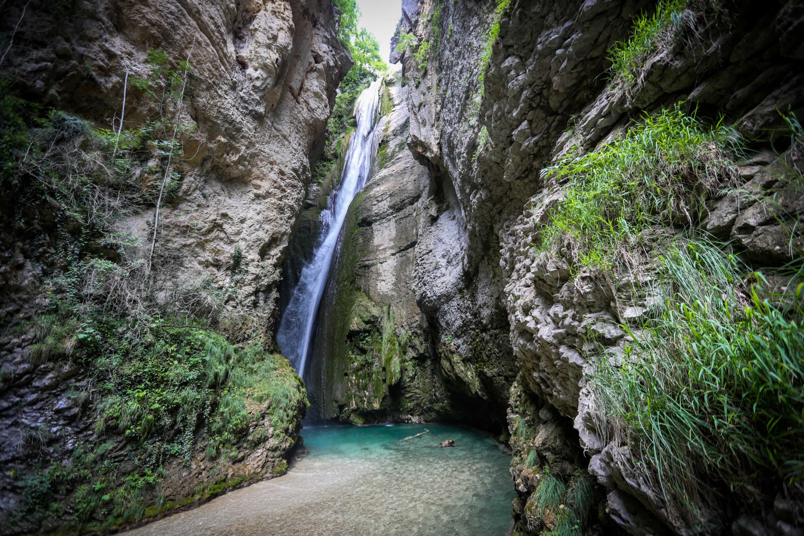
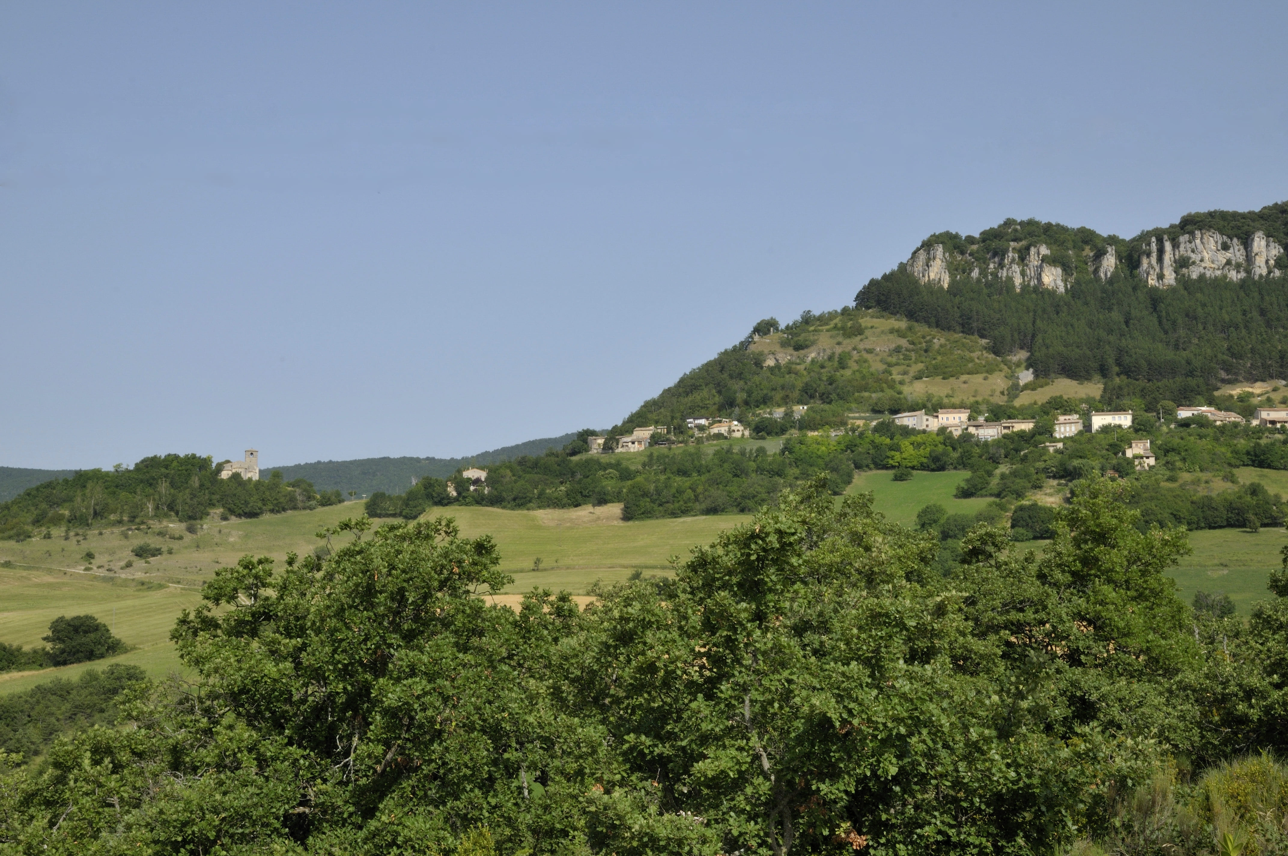
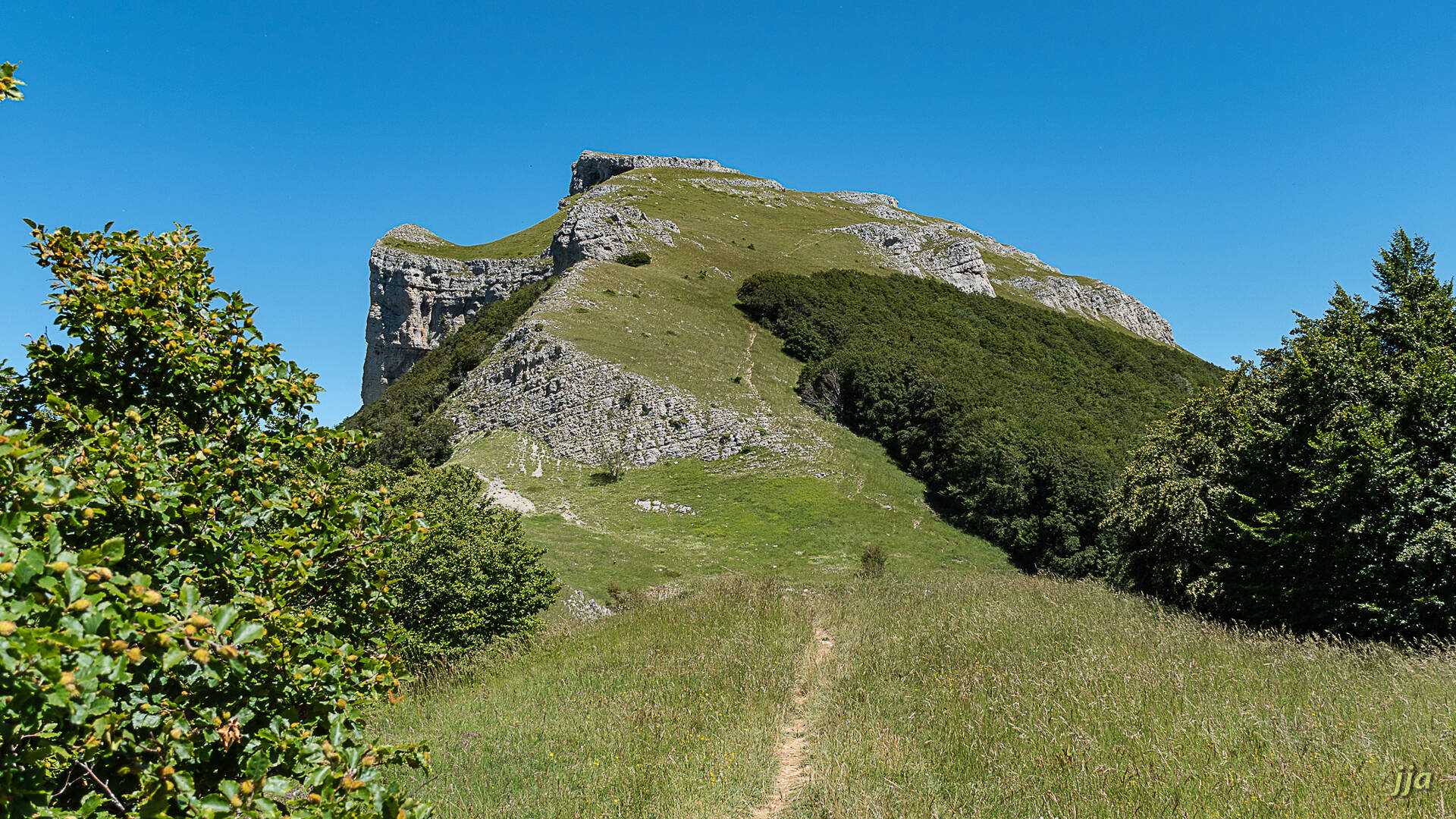
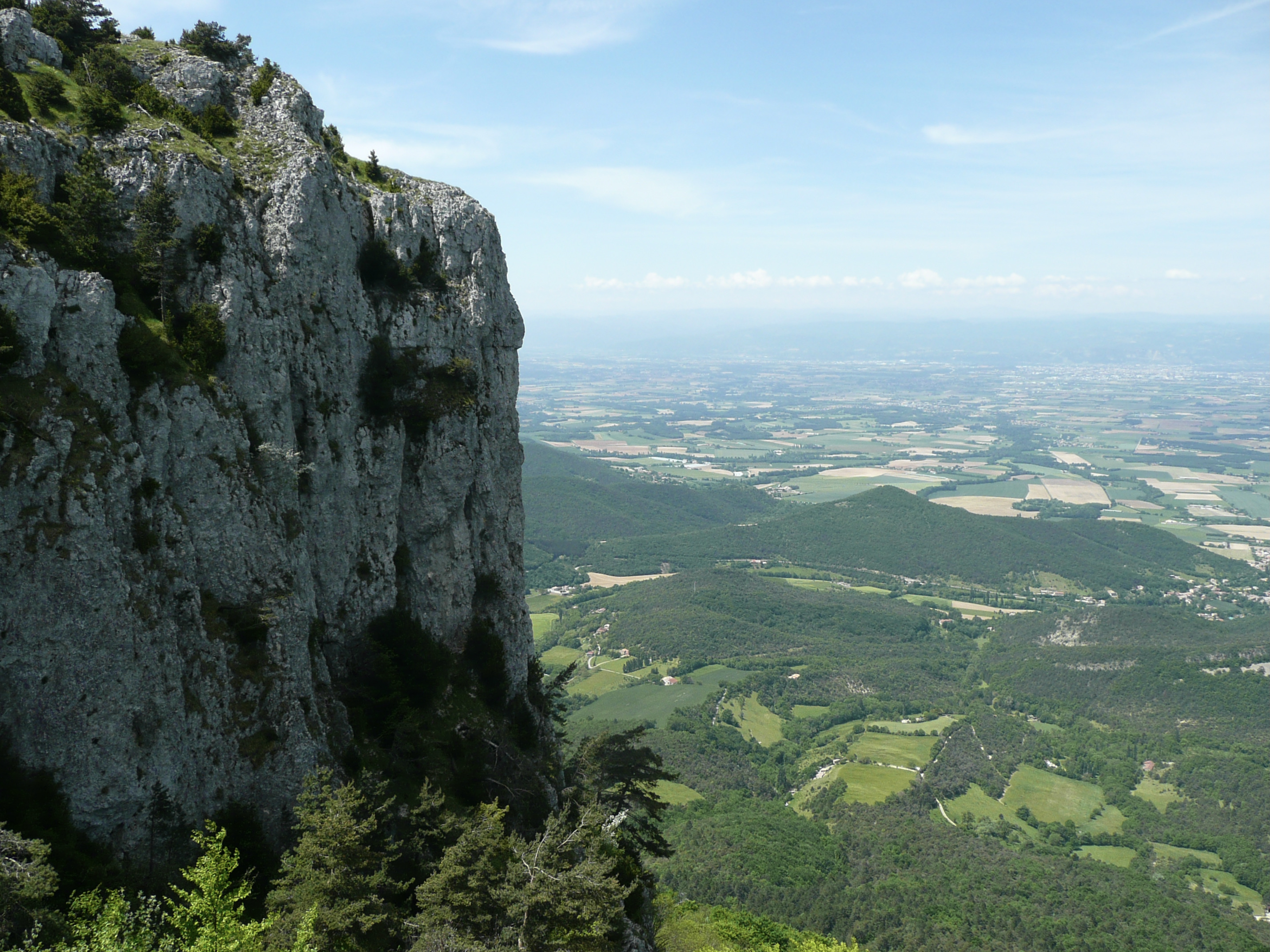
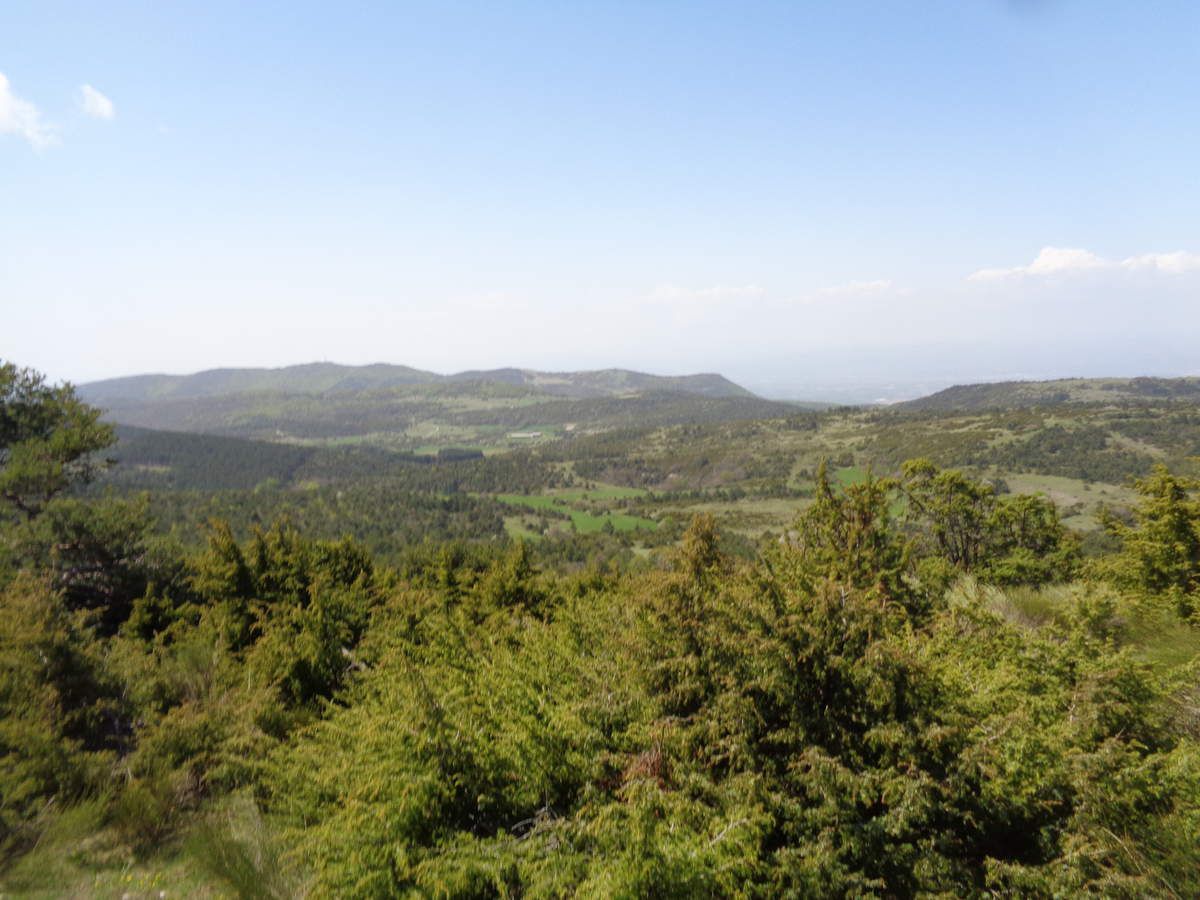
Loop hike on a crest, offering beautiful views over the Drôme and the Rhône valley.

Already more than 200,000 users!
Uphill
692m
Highest point
1077m
Downhill
692m
Lowest point
494m
Route type
Loop
Download the map on your smartphone to save battery and rest assured to always keep access to the route, even without signal.
Includes IGN France and Swisstopo.
I indicate whether dogs are allowed or prohibited on this trail
All year
1 rating
Also enjoy:

Already more than 200,000 users!