Uphill
653m
Length
7km
Duration
4h30min
Elev gain
653m
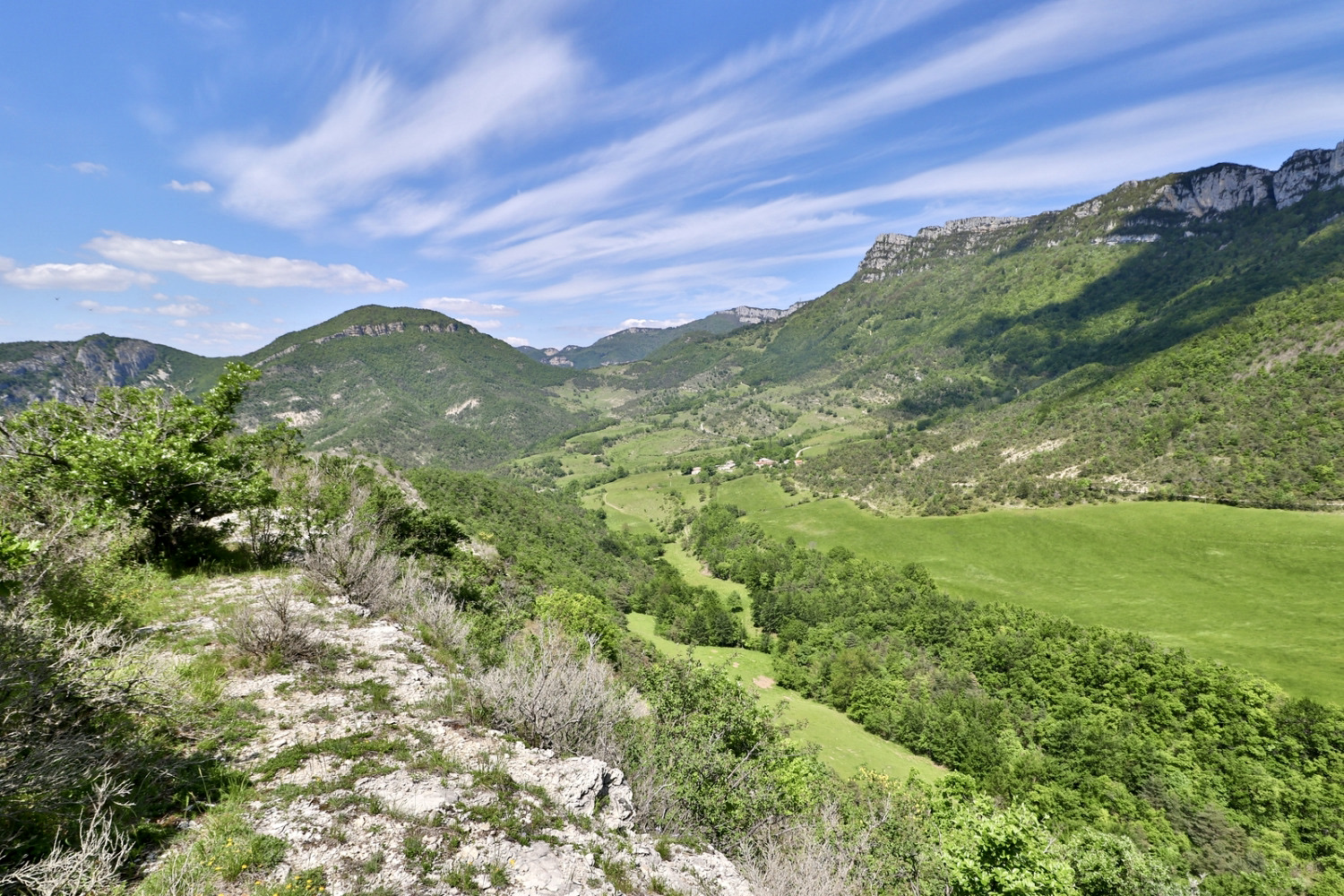
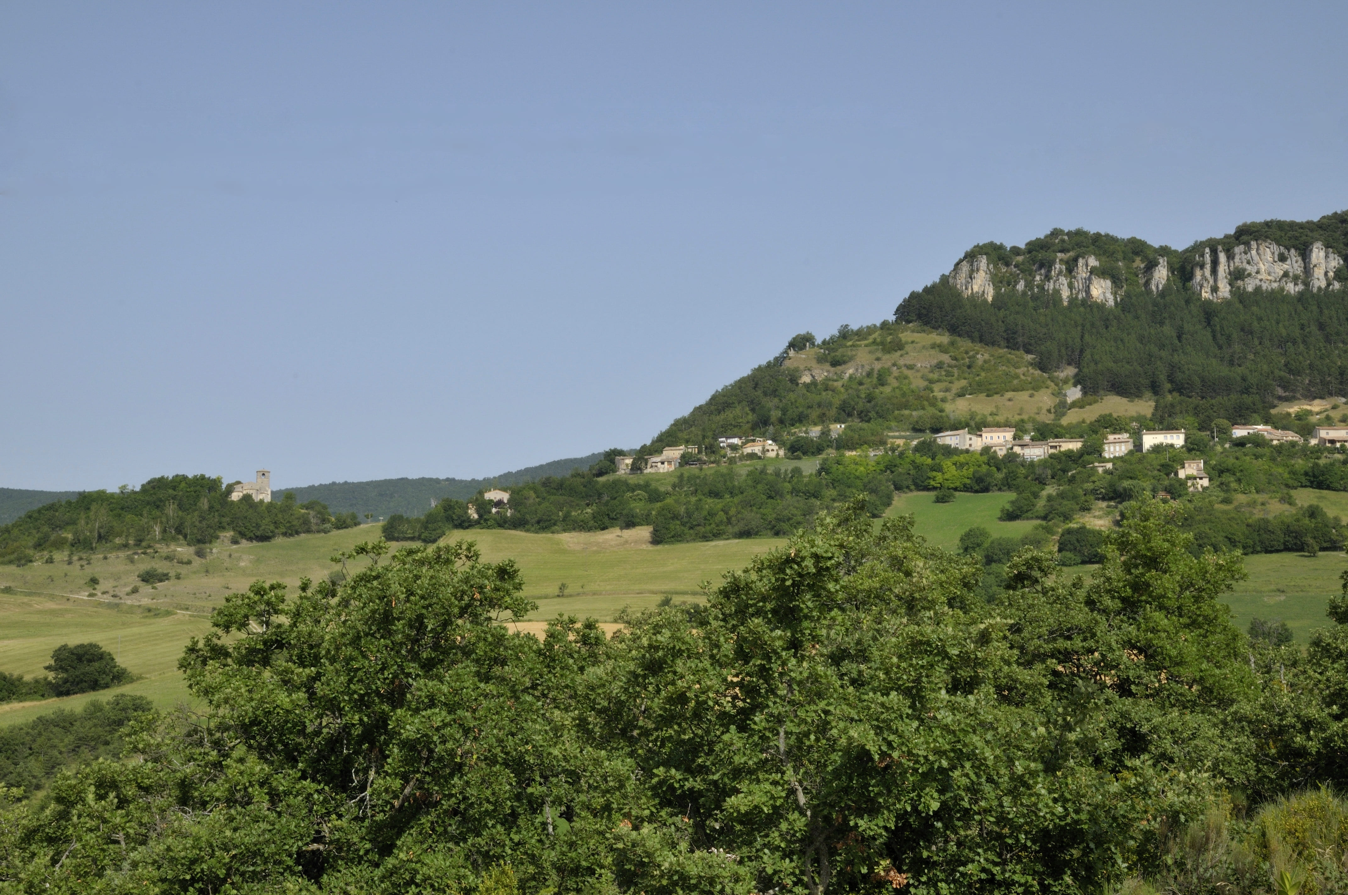
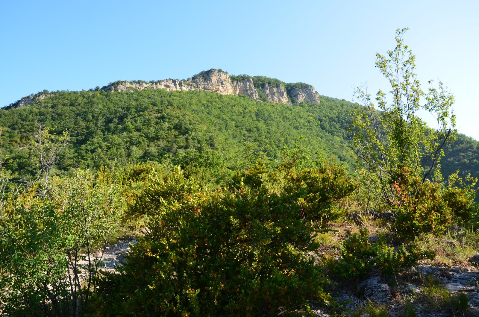
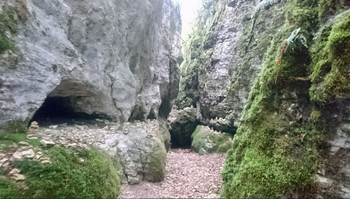
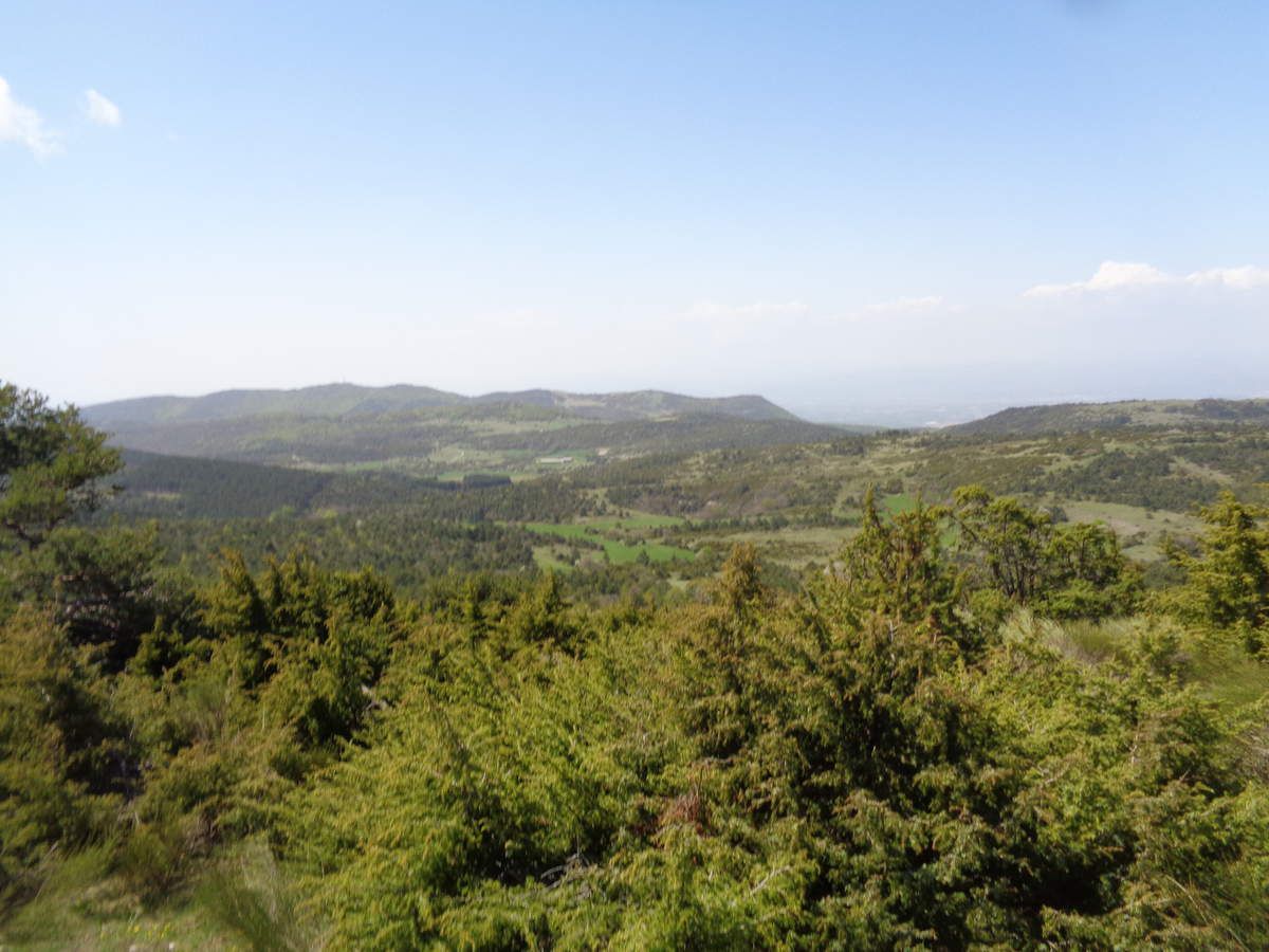
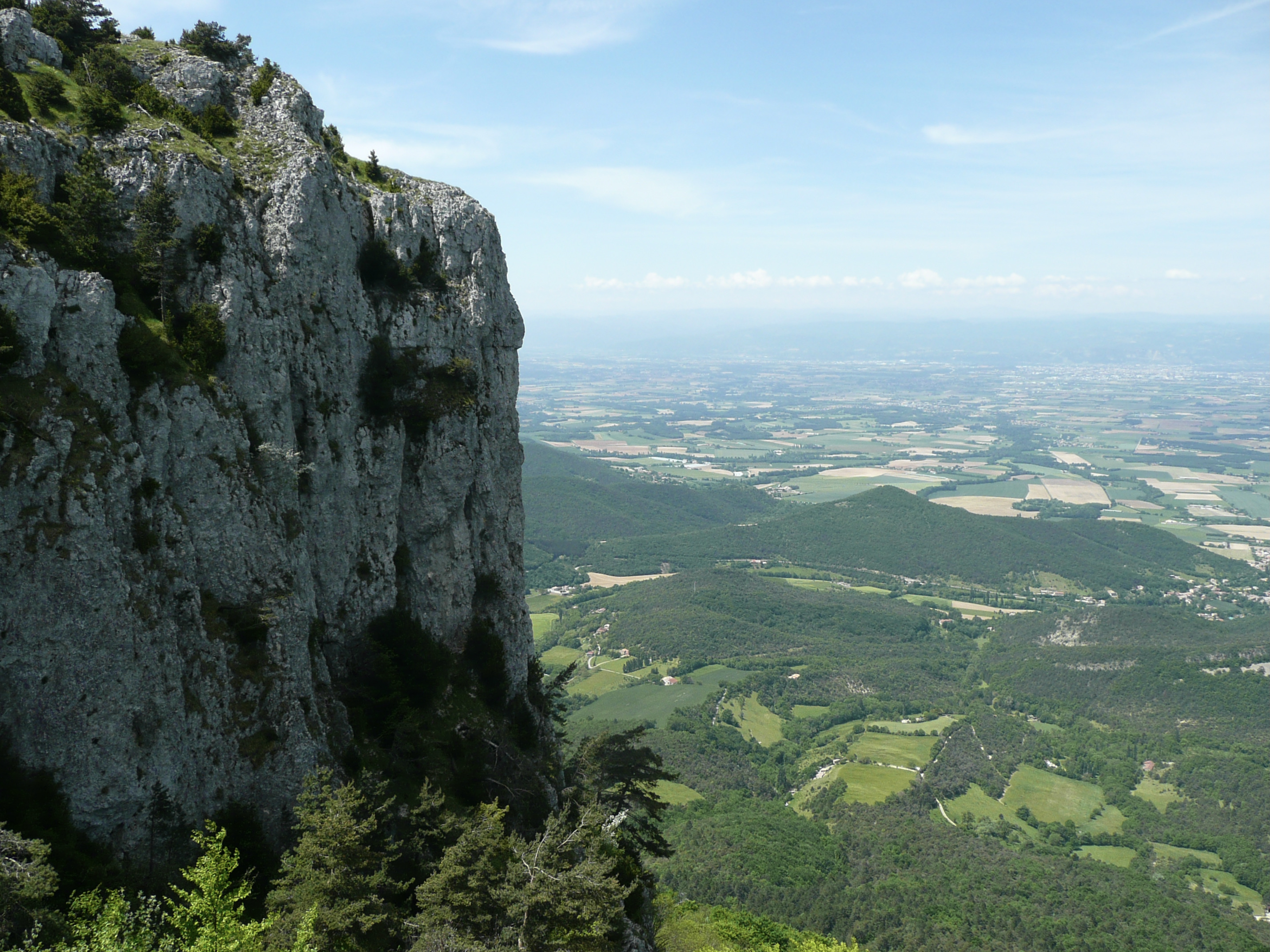
Here is a beautiful hike leading to the Pas du Touët on a shady path. The climb is continuous and rocky, but the view rewards the effort.

Already more than 200,000 users!
Uphill
653m
Highest point
1054m
Downhill
653m
Lowest point
406m
Route type
There and back
Download the map on your smartphone to save battery and rest assured to always keep access to the route, even without signal.
Includes IGN France and Swisstopo.
I indicate whether dogs are allowed or prohibited on this trail
All year
1 rating
Also enjoy:

Already more than 200,000 users!