Uphill
106m
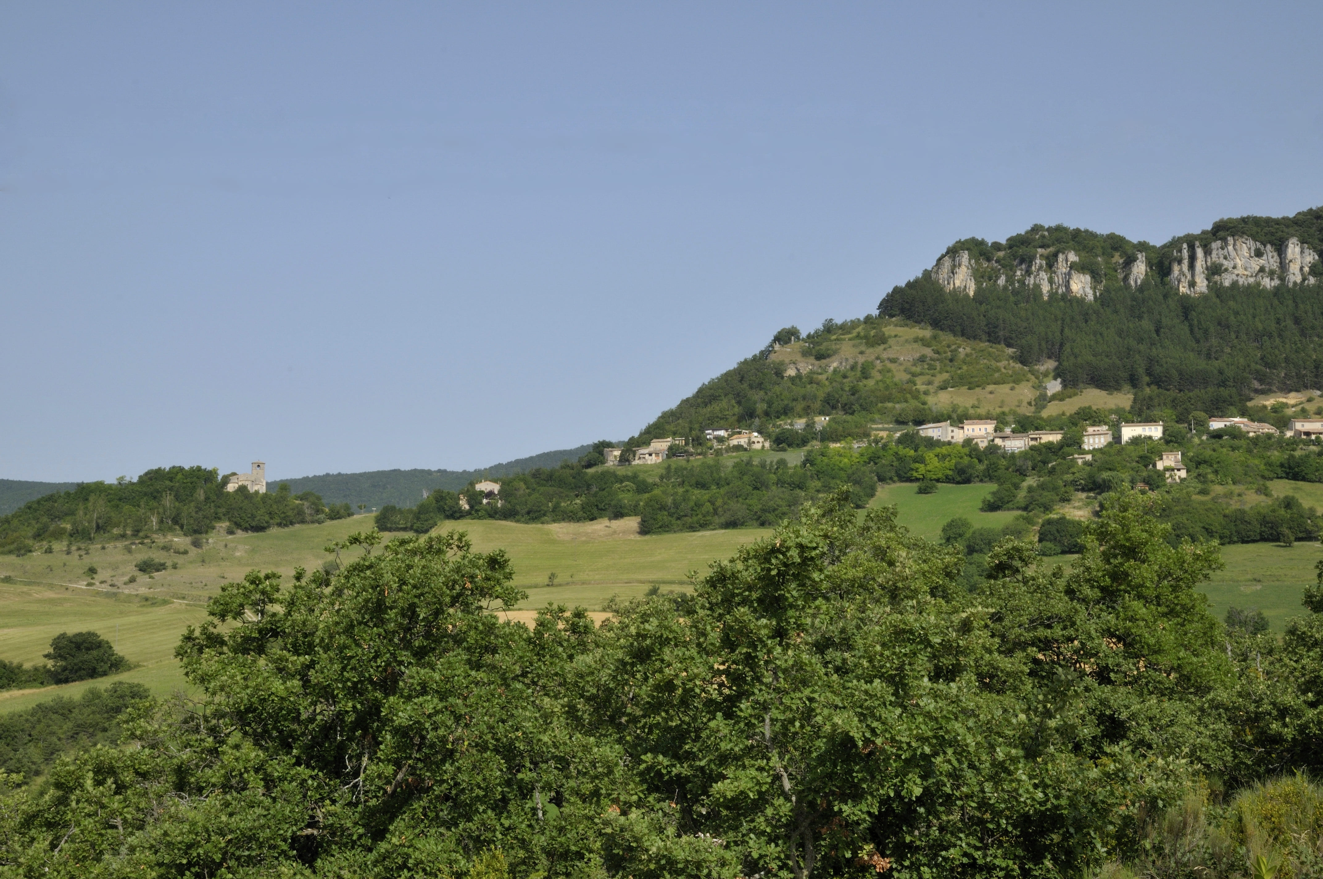
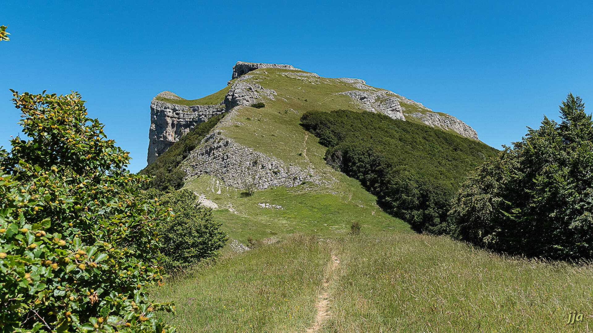
France > Auvergne-Rhône-Alpes > Drôme > Vercors Regional Natural Park
Length
4km
Duration
1h30min
Elev gain
106m
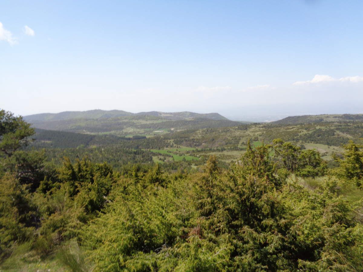
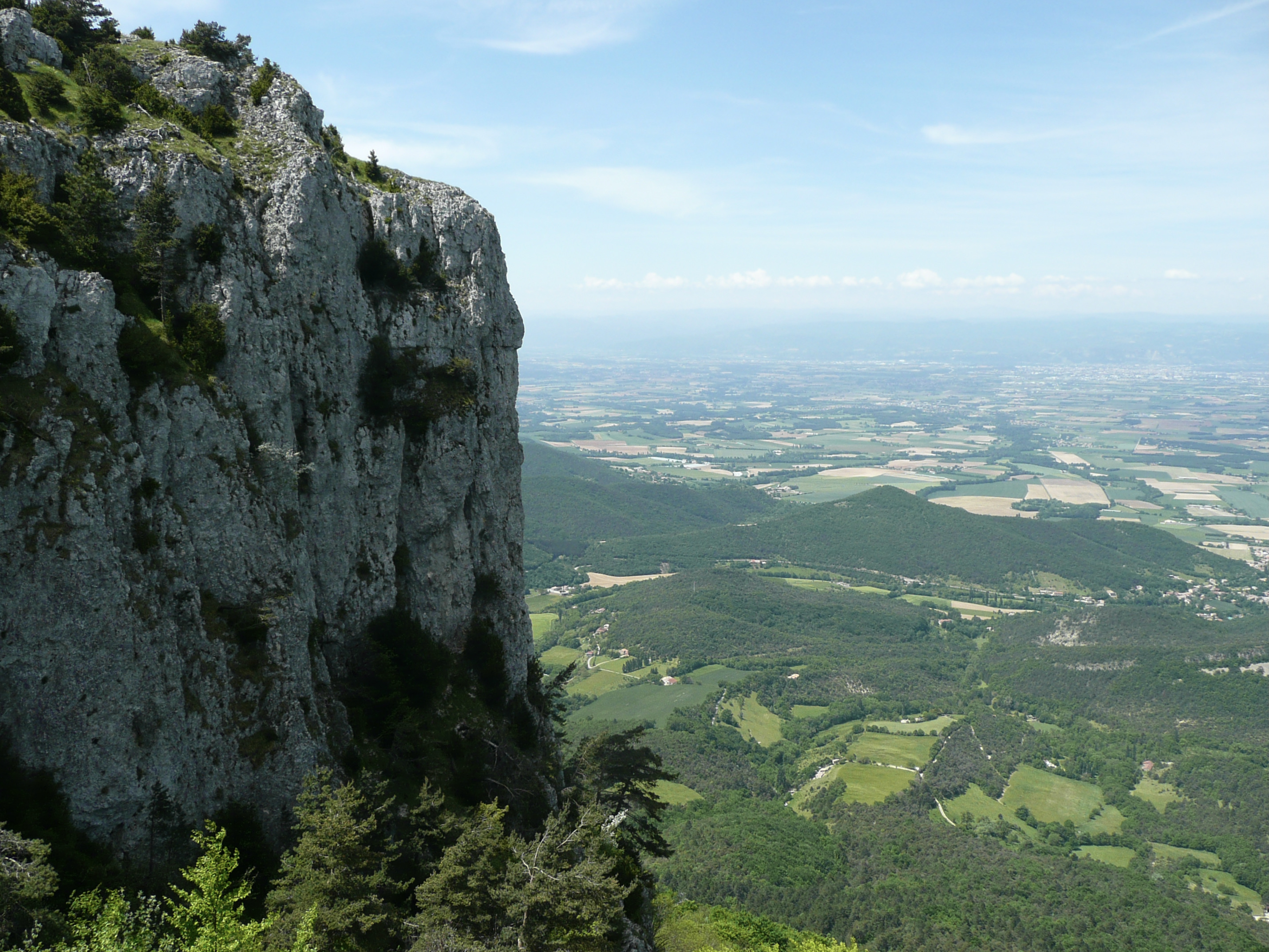
Pretty walk on the plateaus of Vercors, east of Valence. The route is in the forest where many species of butterflies can be observed.

Already more than 200,000 users!
Uphill
106m
Highest point
844m
Downhill
106m
Lowest point
729m
Route type
Loop
Download the map on your smartphone to save battery and rest assured to always keep access to the route, even without signal.
Includes IGN France and Swisstopo.
I indicate whether dogs are allowed or prohibited on this trail
All year
2 ratings
Also enjoy:

Already more than 200,000 users!