Uphill
276m
France > Auvergne-Rhône-Alpes > Drôme > Vercors Regional Natural Park
Length
3km
Duration
2h
Elev gain
276m
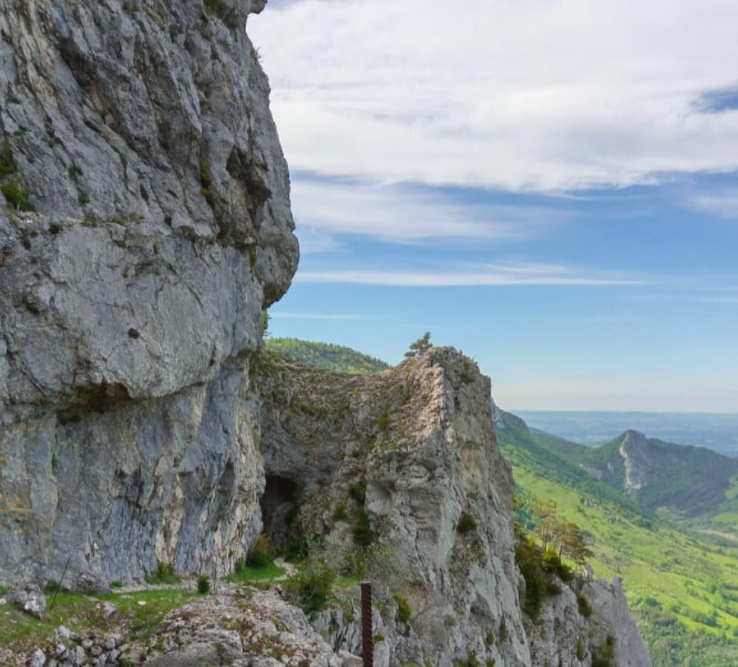
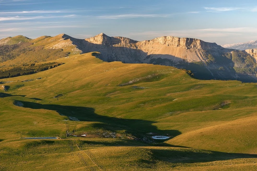
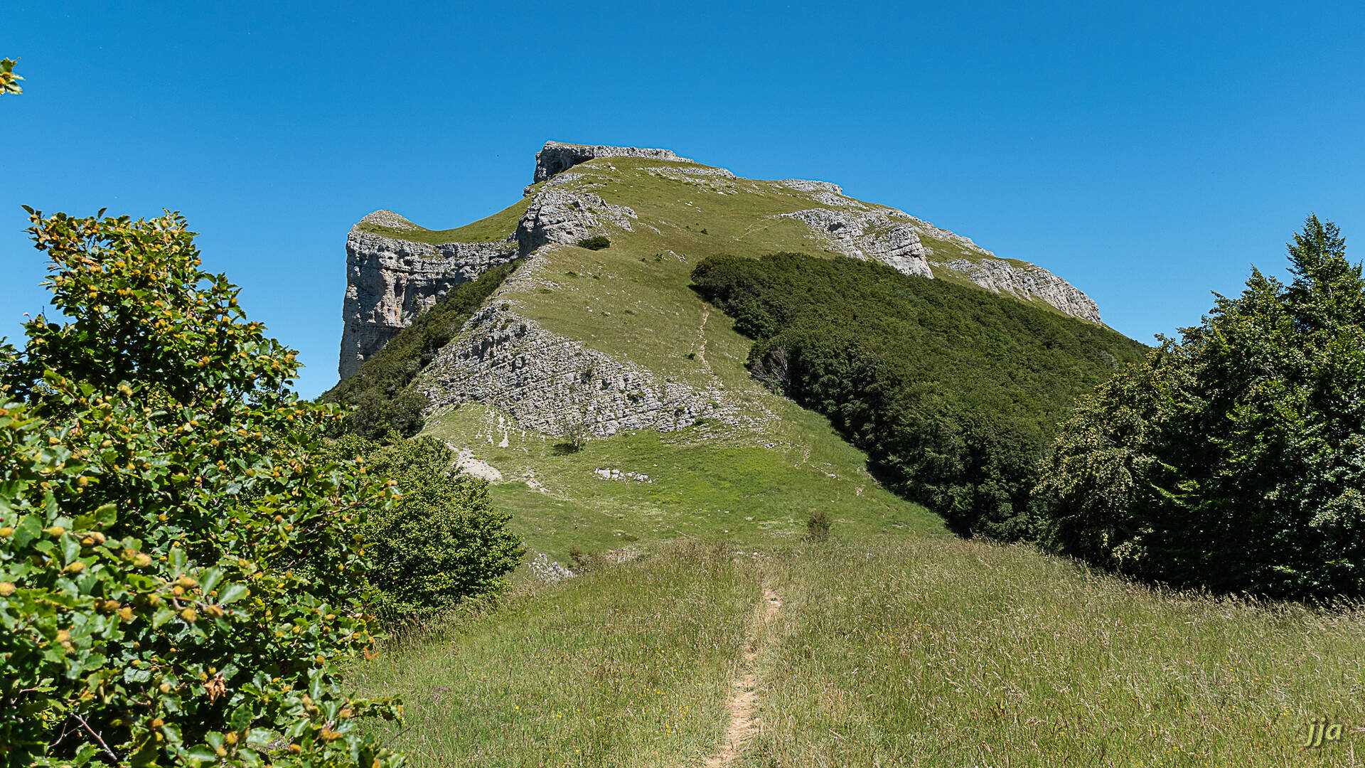
Ascent of the rock of Touleau (1,581 m). The path passes under the rock before attacking the climb. Once at the top, the panorama is superb.

Already more than 200,000 users!
Uphill
276m
Highest point
1569m
Downhill
276m
Lowest point
1310m
Route type
Loop
Download the map on your smartphone to save battery and rest assured to always keep access to the route, even without signal.
Includes IGN France and Swisstopo.
I indicate whether dogs are allowed or prohibited on this trail
Can be difficult in Winter
0 ratings
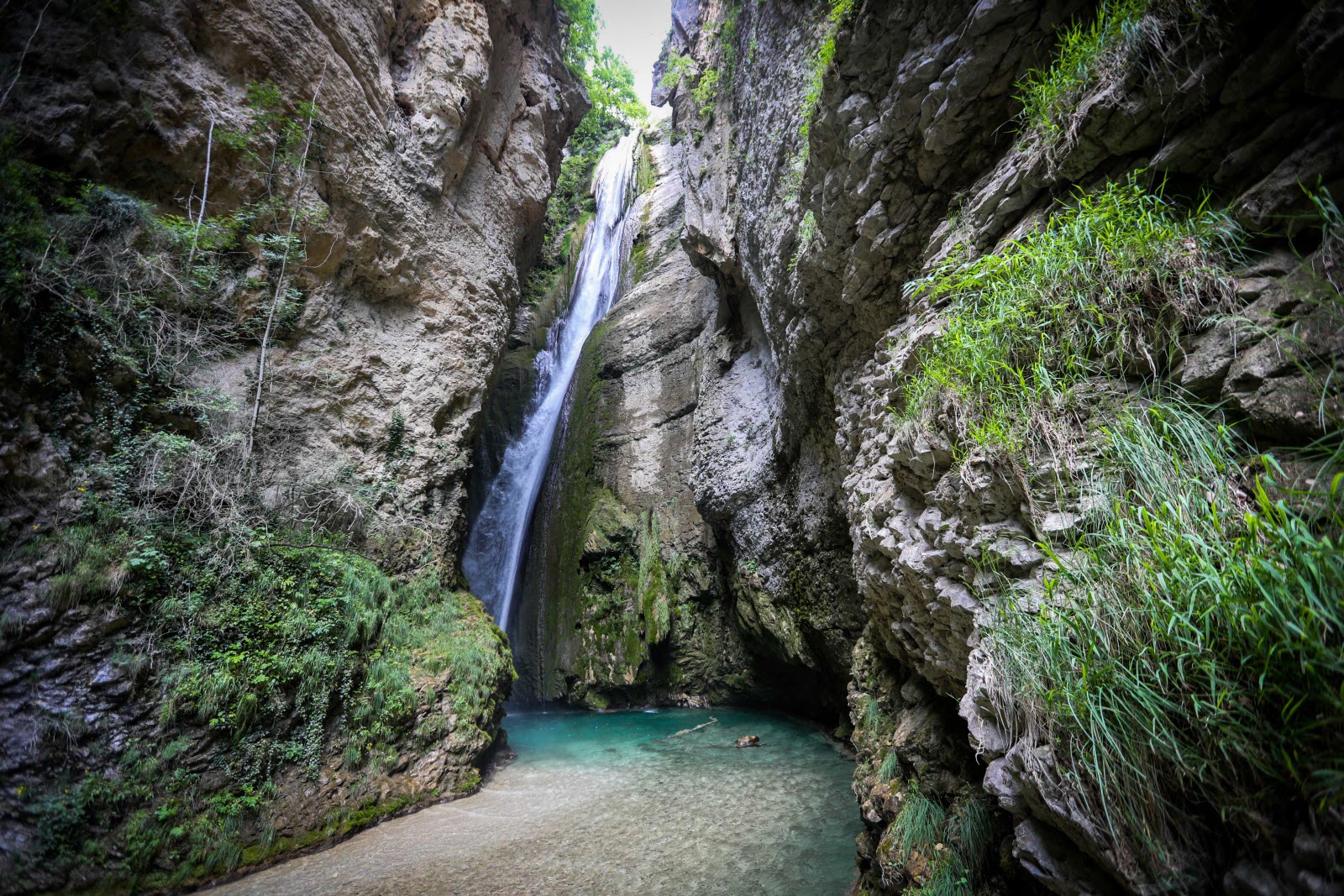
Also enjoy:

Already more than 200,000 users!