Uphill
360m
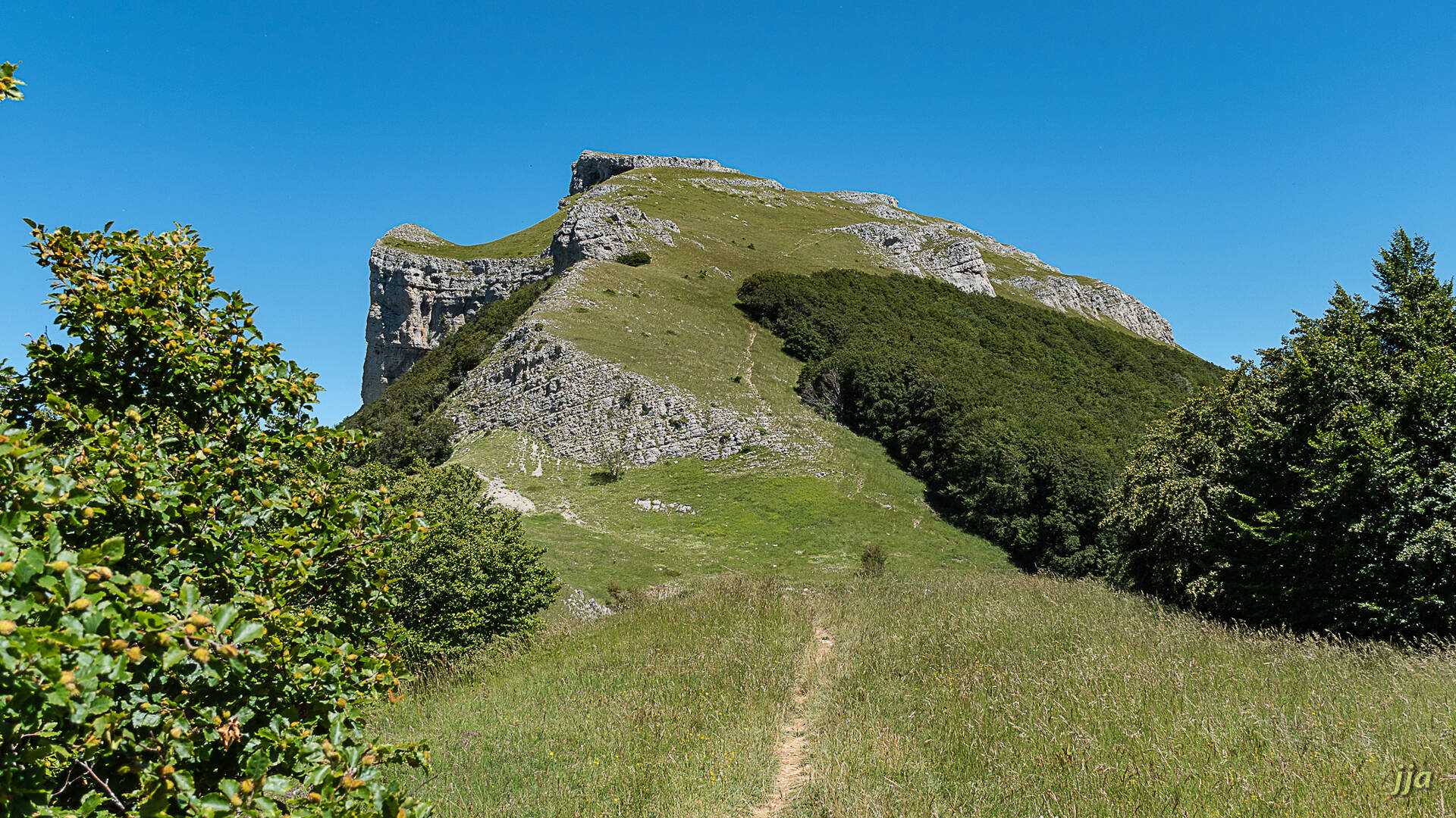
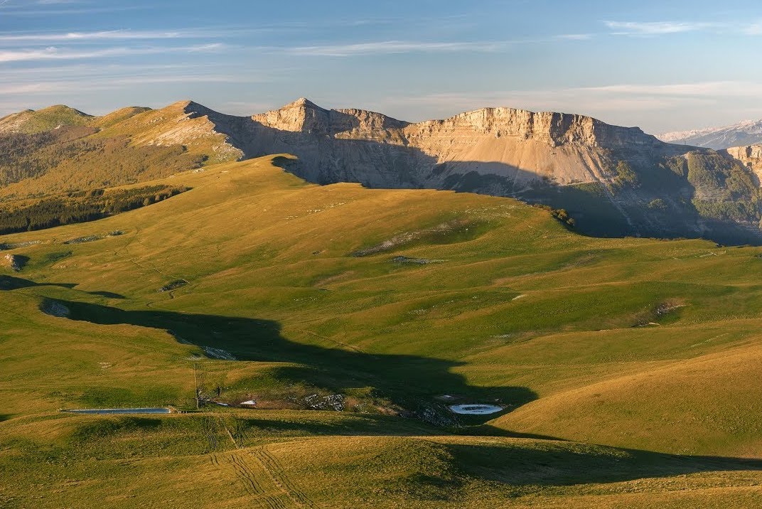
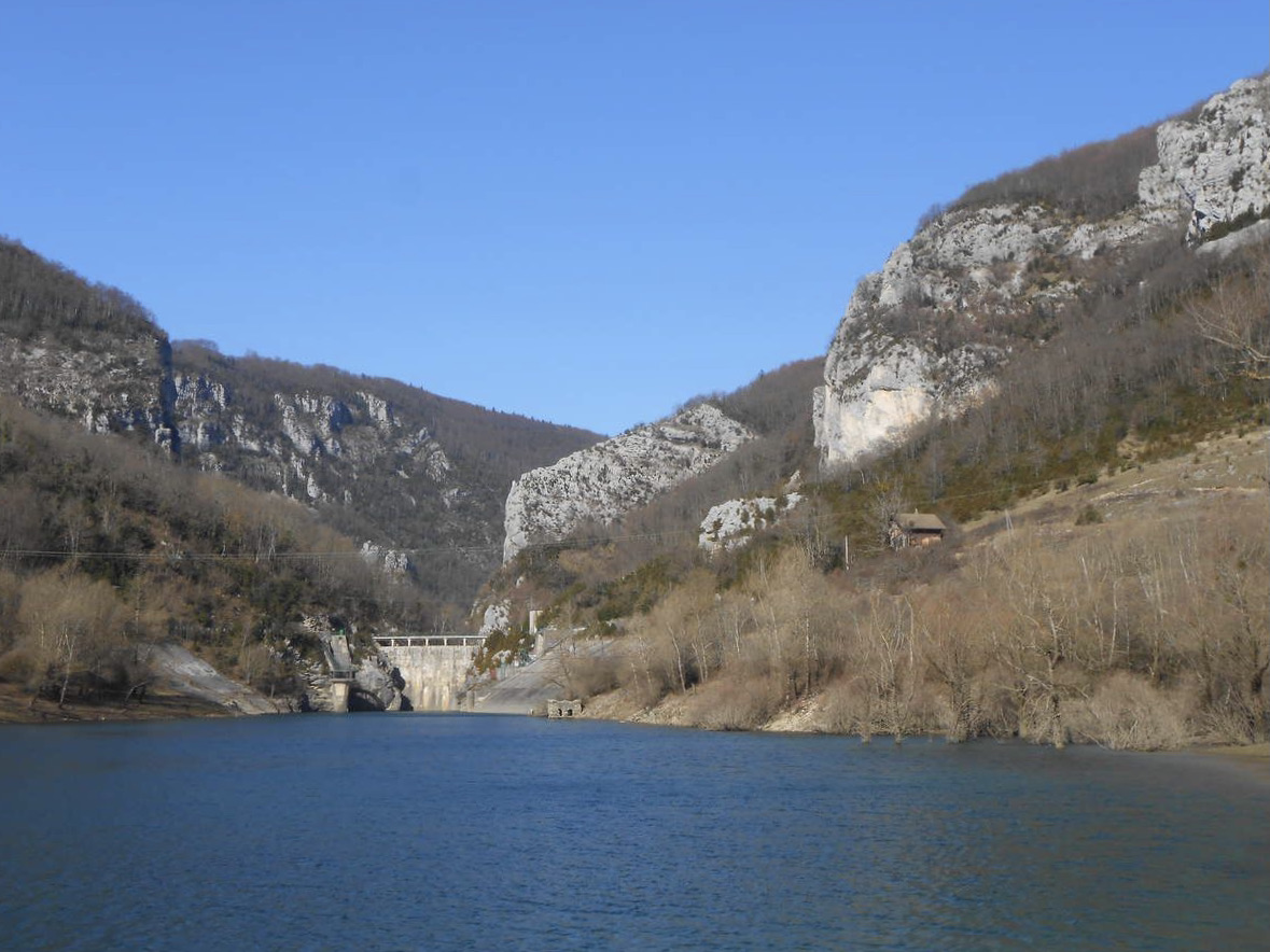
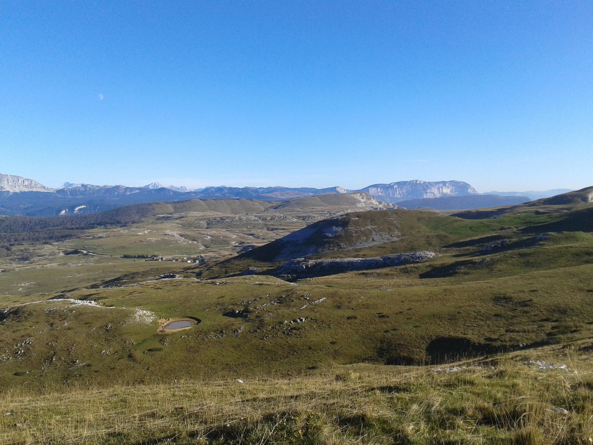
France > Auvergne-Rhône-Alpes > Drôme > Vercors Regional Natural Park
Length
5km
Duration
2h30min
Elev gain
360m
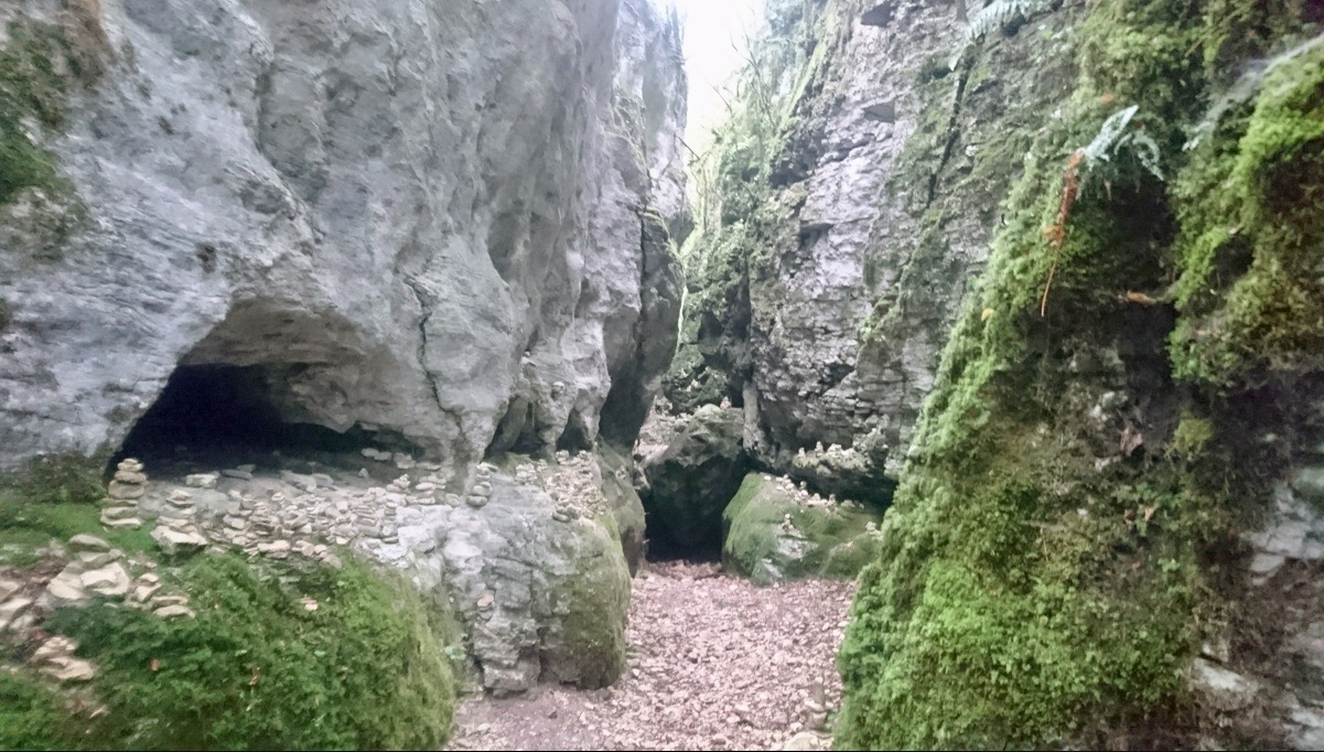
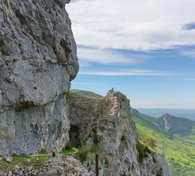
From the Route d'Ambel, in Bouvante, this steep and rocky path leads to the Saut de la Truite waterfall. The walk is mainly in the forest and offers beautiful views.

Already more than 200,000 users!
Uphill
360m
Highest point
1126m
Downhill
360m
Lowest point
775m
Route type
There and back
Download the map on your smartphone to save battery and rest assured to always keep access to the route, even without signal.
Includes IGN France and Swisstopo.
I indicate whether dogs are allowed or prohibited on this trail
All year
0 ratings
Also enjoy:

Already more than 200,000 users!