Uphill
136m
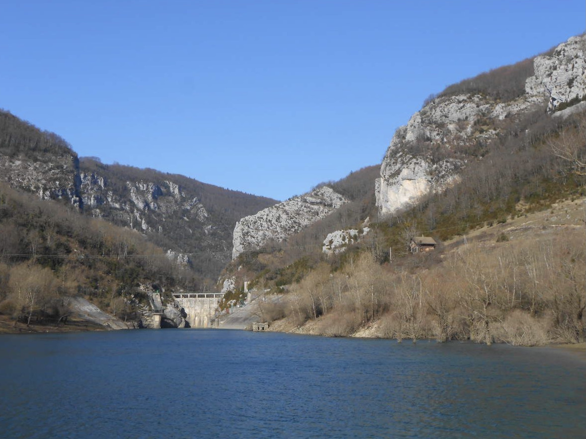
France > Auvergne-Rhône-Alpes > Drôme > Vercors Regional Natural Park
Length
5km
Duration
1h30min
Elev gain
136m
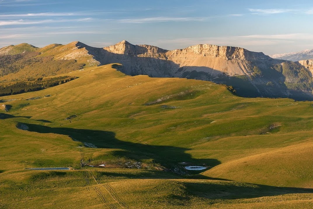
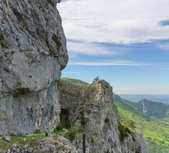
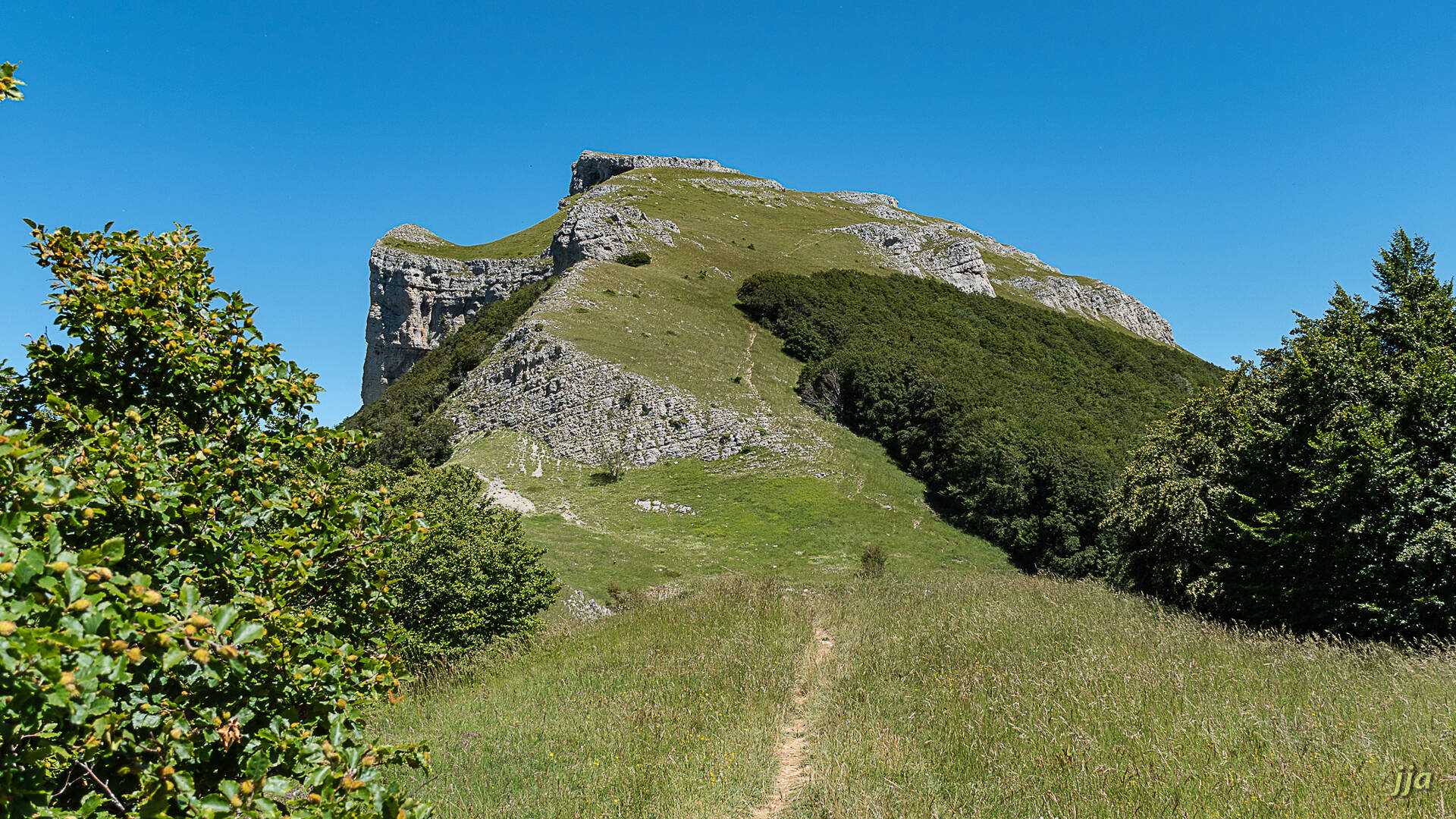
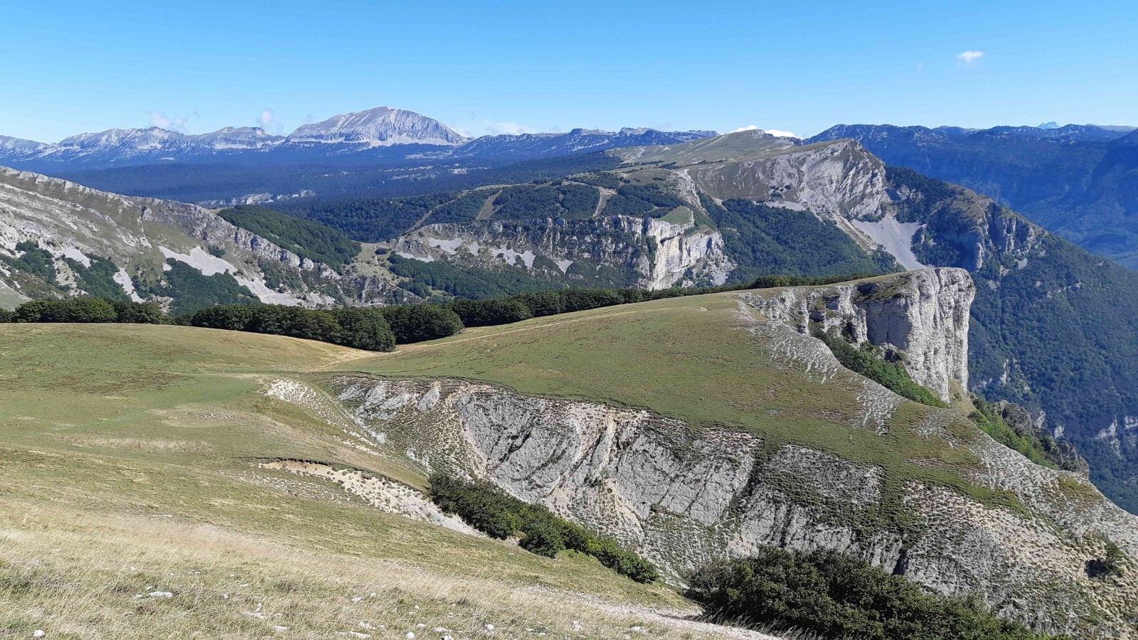
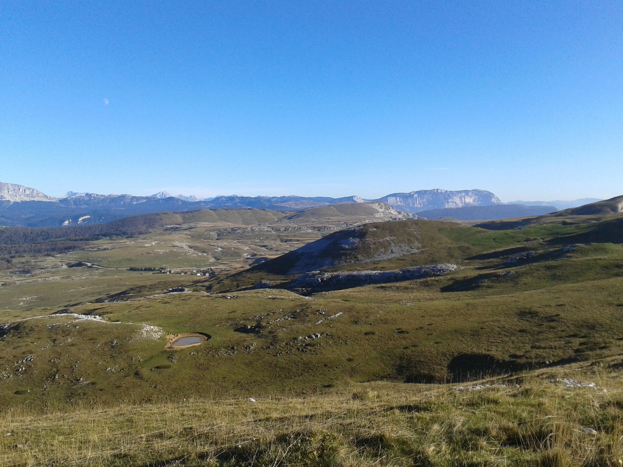
Departing from Font d'Urle, this trail crosses a vast steppe altitude where the view extends for miles. Very pretty panoramas.
Note that dogs are prohibited in the summer period due to the possible presence of guard dogs.

Already more than 200,000 users!
Uphill
136m
Highest point
1554m
Downhill
136m
Lowest point
1446m
Route type
Loop
Download the map on your smartphone to save battery and rest assured to always keep access to the route, even without signal.
Includes IGN France and Swisstopo.
Fordidden at certain times of the year
Can be difficult in Winter
1 rating
Sentier très bien indiqué et vue magnifique à faire
Also enjoy:

Already more than 200,000 users!