Uphill
48m
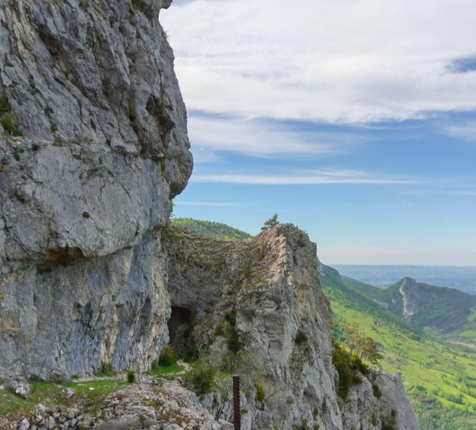
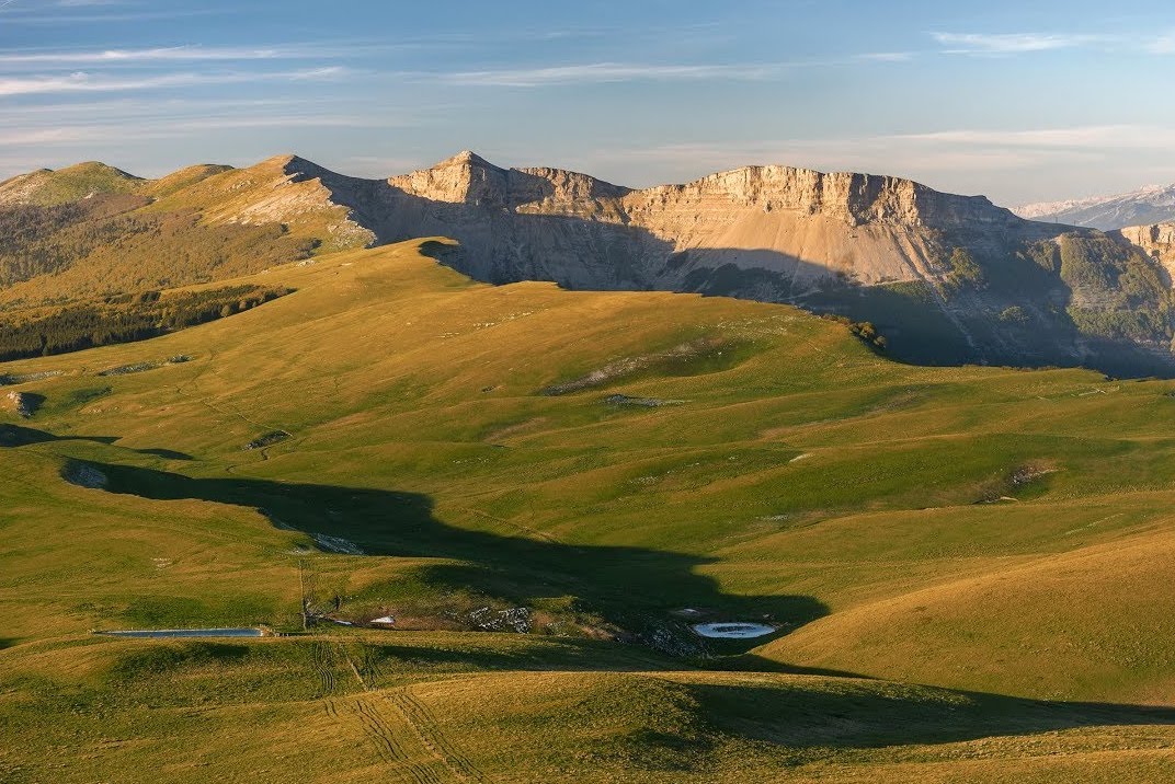
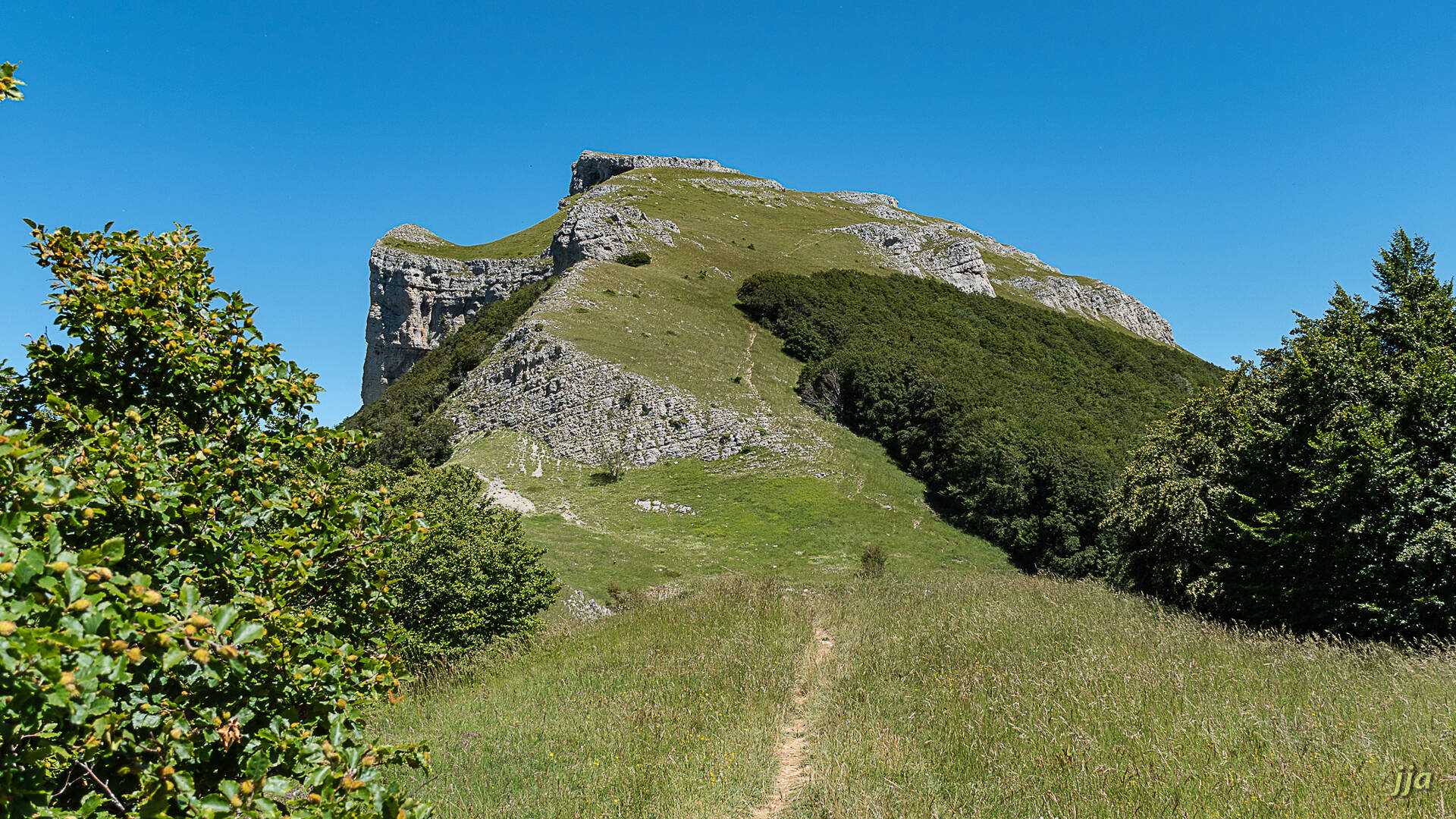
France > Auvergne-Rhône-Alpes > Drôme > Vercors Regional Natural Park
Length
5km
Duration
1h30min
Elev gain
48m
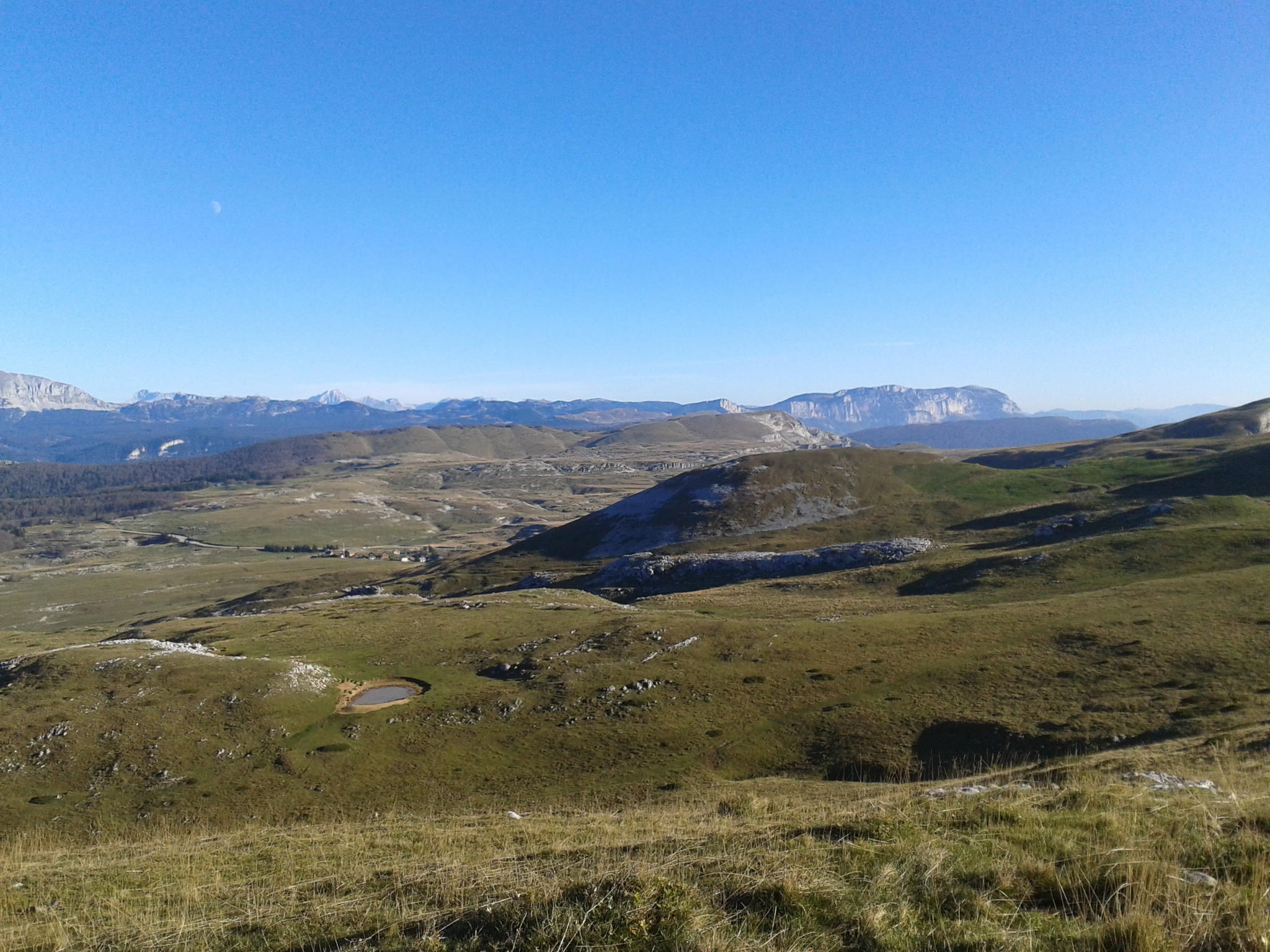
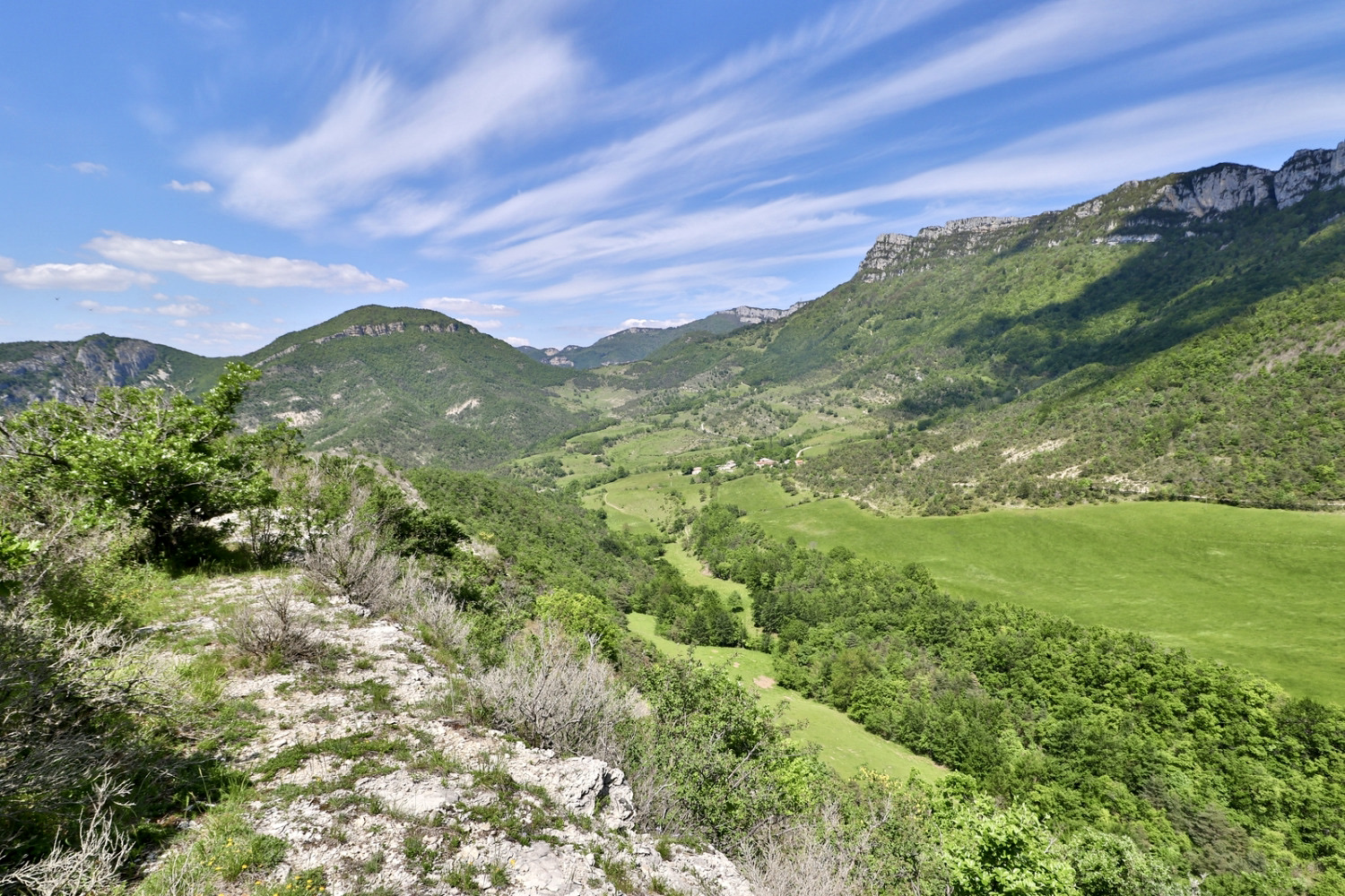
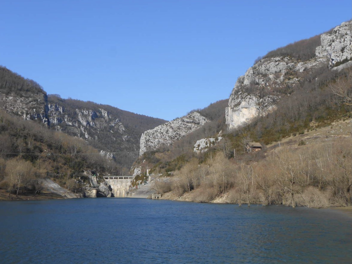
Departing from Bouvante le Haut, this family walk leads to the shores of Lake Bouvante via a path alternating between pastures and forest. The landscapes are beautiful and it is possible to picnic near the lake, even if it is only accessible at the level of the dam.
Note that the return route takes a departmental road.

Already more than 200,000 users!
Uphill
48m
Highest point
606m
Downhill
48m
Lowest point
575m
Route type
Loop
Download the map on your smartphone to save battery and rest assured to always keep access to the route, even without signal.
Includes IGN France and Swisstopo.
I indicate whether dogs are allowed or prohibited on this trail
All year
2 ratings
Baladounette tranquille, pas très interessante en soi mais le décor reste magnifique.
Also enjoy:

Already more than 200,000 users!