Uphill
467m
France > Auvergne-Rhône-Alpes > Drôme > Vercors Regional Natural Park
Length
15km
Duration
5h
Elev gain
467m
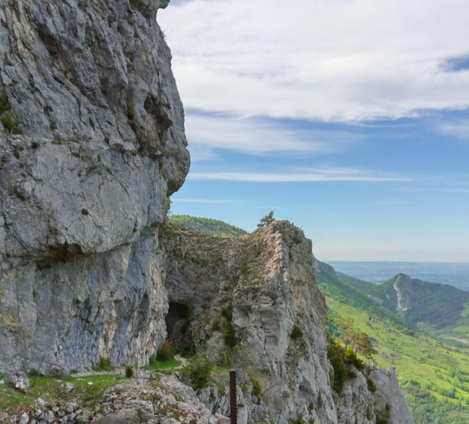
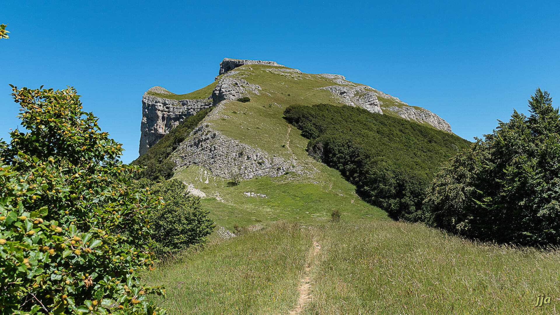
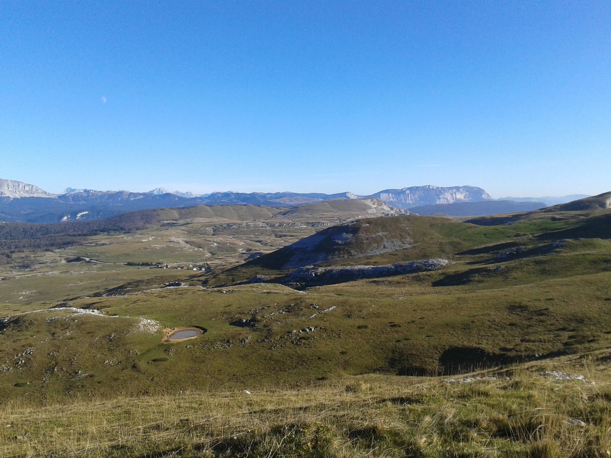
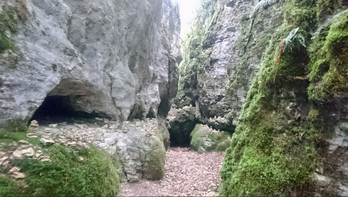
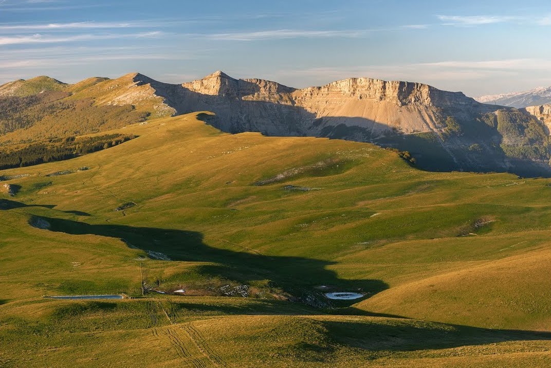
A path between pastures and forests, with views of the Vercors peaks.

Already more than 200,000 users!
Uphill
467m
Highest point
1489m
Downhill
467m
Lowest point
1138m
Route type
Loop
Download the map on your smartphone to save battery and rest assured to always keep access to the route, even without signal.
Includes IGN France and Swisstopo.
I indicate whether dogs are allowed or prohibited on this trail
Can be difficult in Winter
2 ratings
Randonnée magnifique !
Also enjoy:

Already more than 200,000 users!