Uphill
460m
France > Auvergne-Rhône-Alpes > Drôme > Vercors Regional Natural Park
Length
11km
Duration
4h
Elev gain
460m
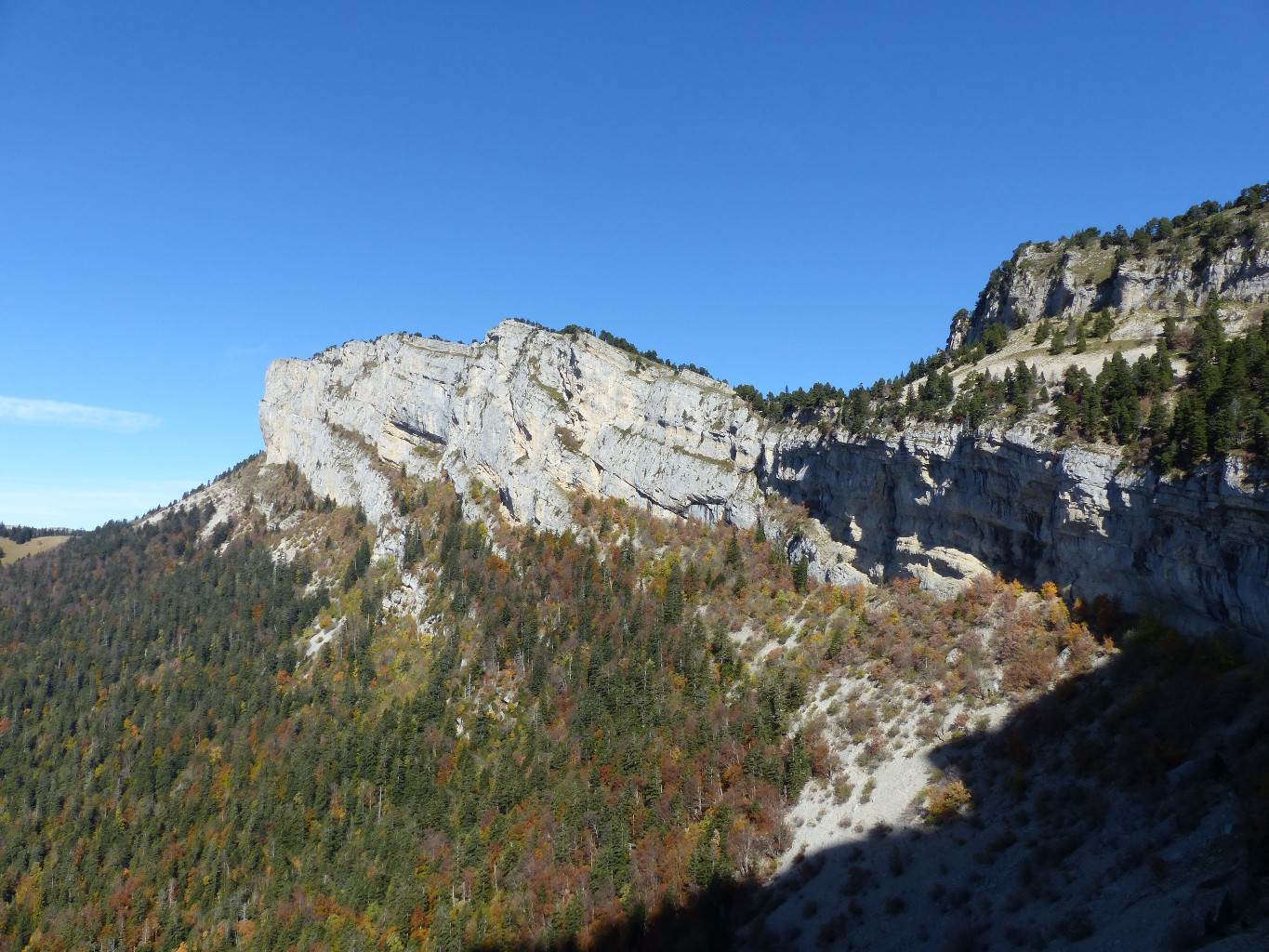
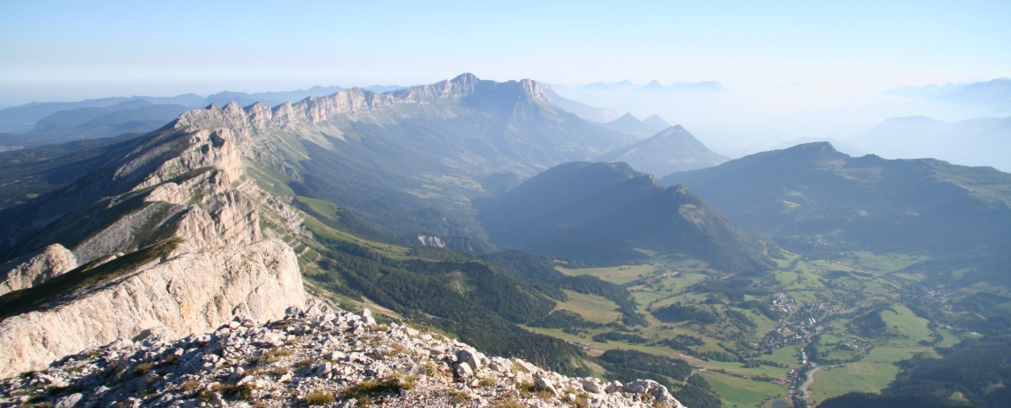
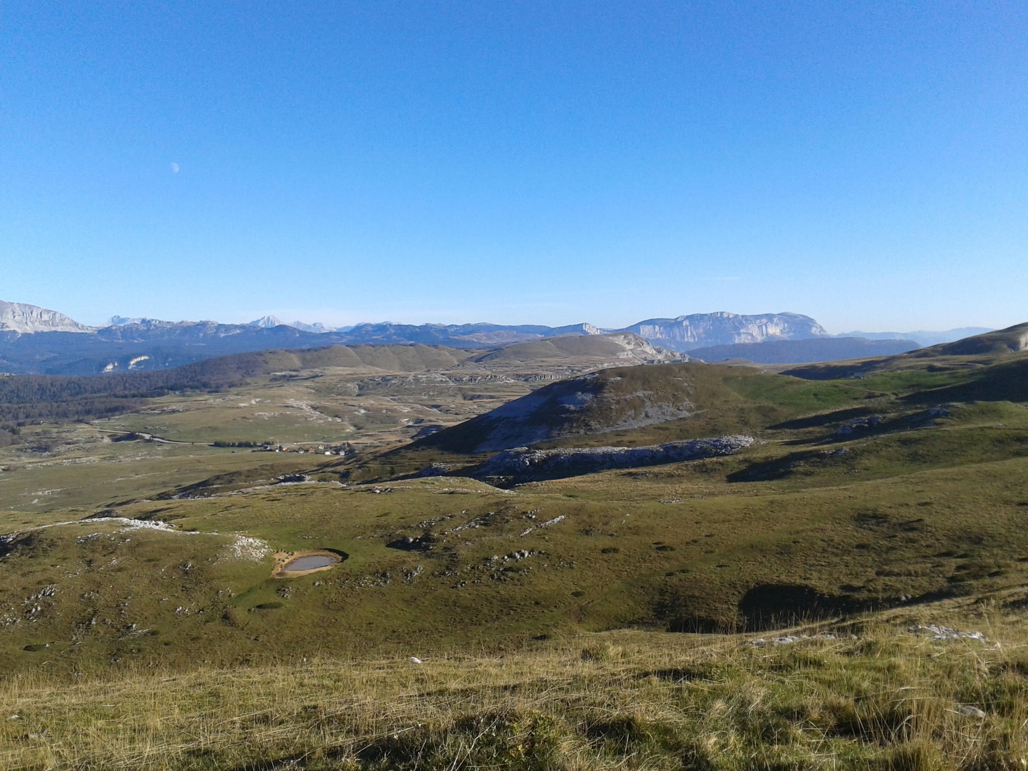
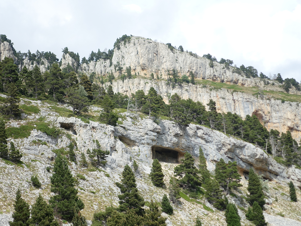
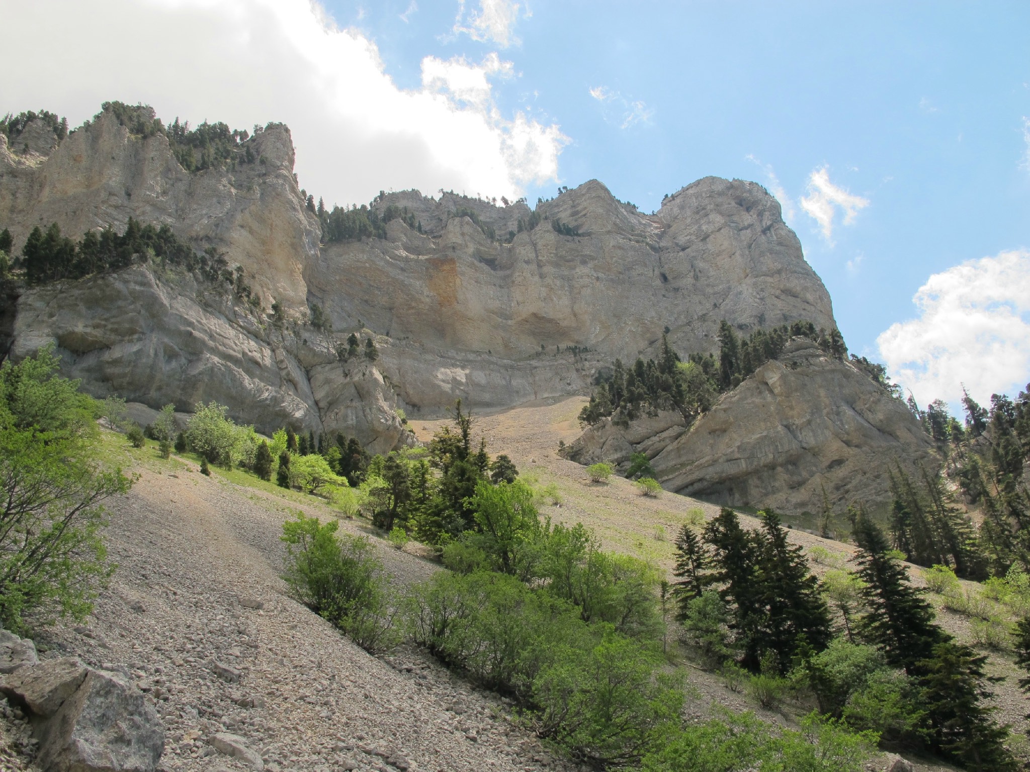
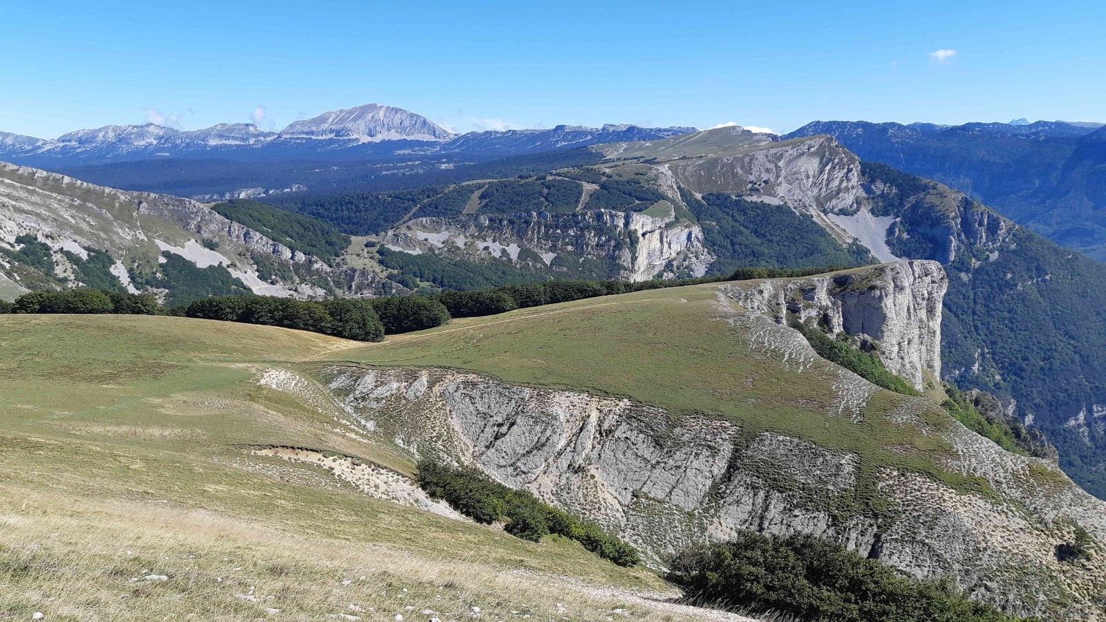
This is a popular hike in the Vercors Park. The trail starts at Col de Rousset and takes the old Roman road to Col de Chironne. It then continues to the Aiglette goal, located at an altitude of 1,524 metres. The view is magnificent and vultures can be seen.

Already more than 200,000 users!
Uphill
460m
Highest point
1562m
Downhill
460m
Lowest point
1240m
Route type
Loop
Download the map on your smartphone to save battery and rest assured to always keep access to the route, even without signal.
Includes IGN France and Swisstopo.
I indicate whether dogs are allowed or prohibited on this trail
Can be difficult in Winter
0 ratings
Also enjoy:

Already more than 200,000 users!