Uphill
1022m
France > Auvergne-Rhône-Alpes > Drôme > Vercors Regional Natural Park
Length
20km
Duration
8h
Elev gain
1022m
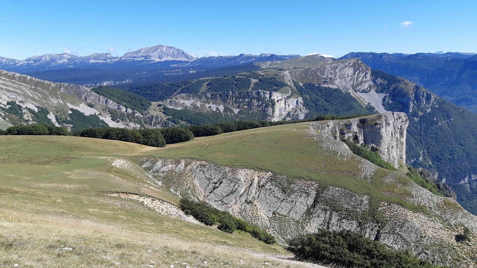
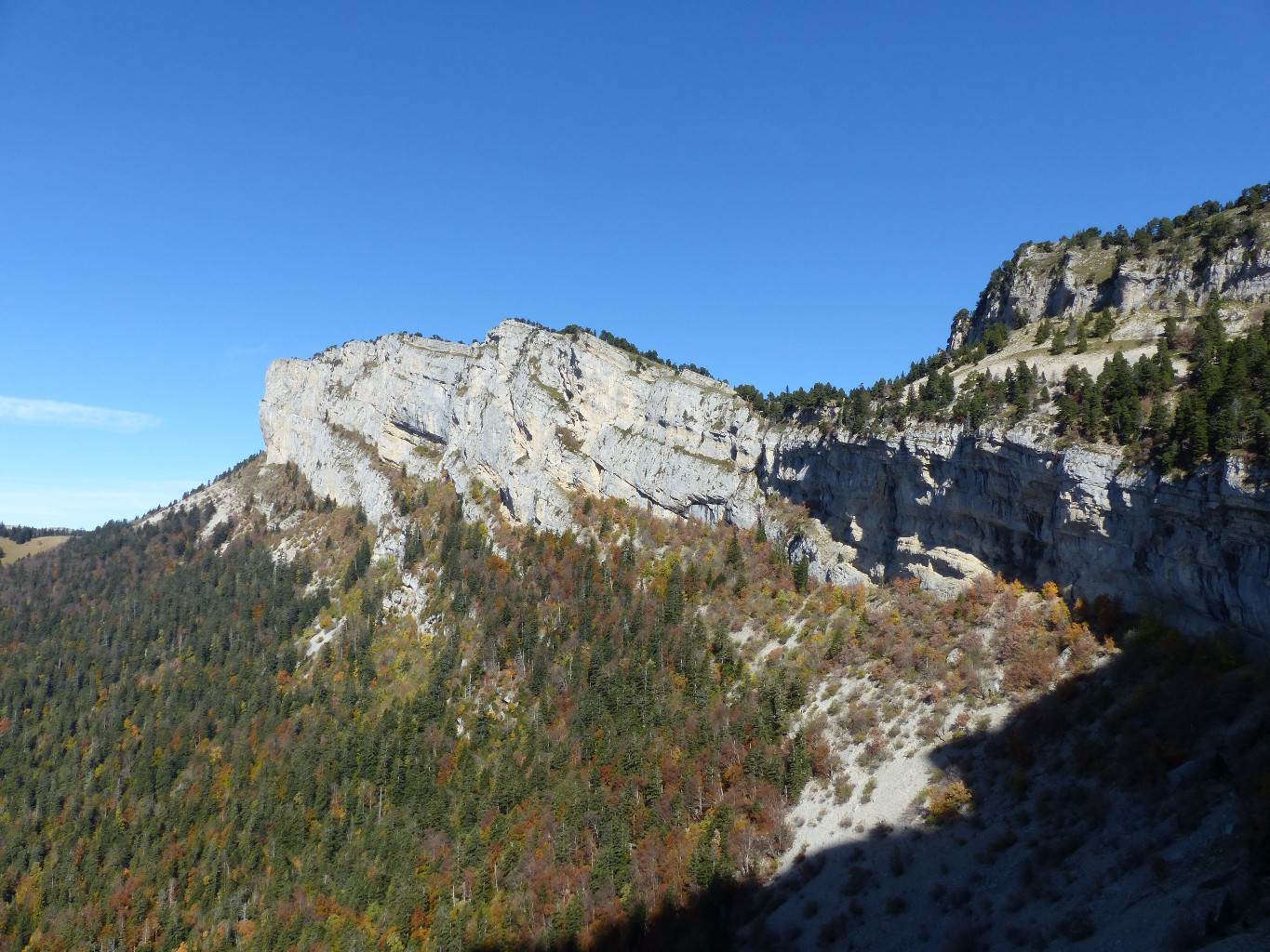
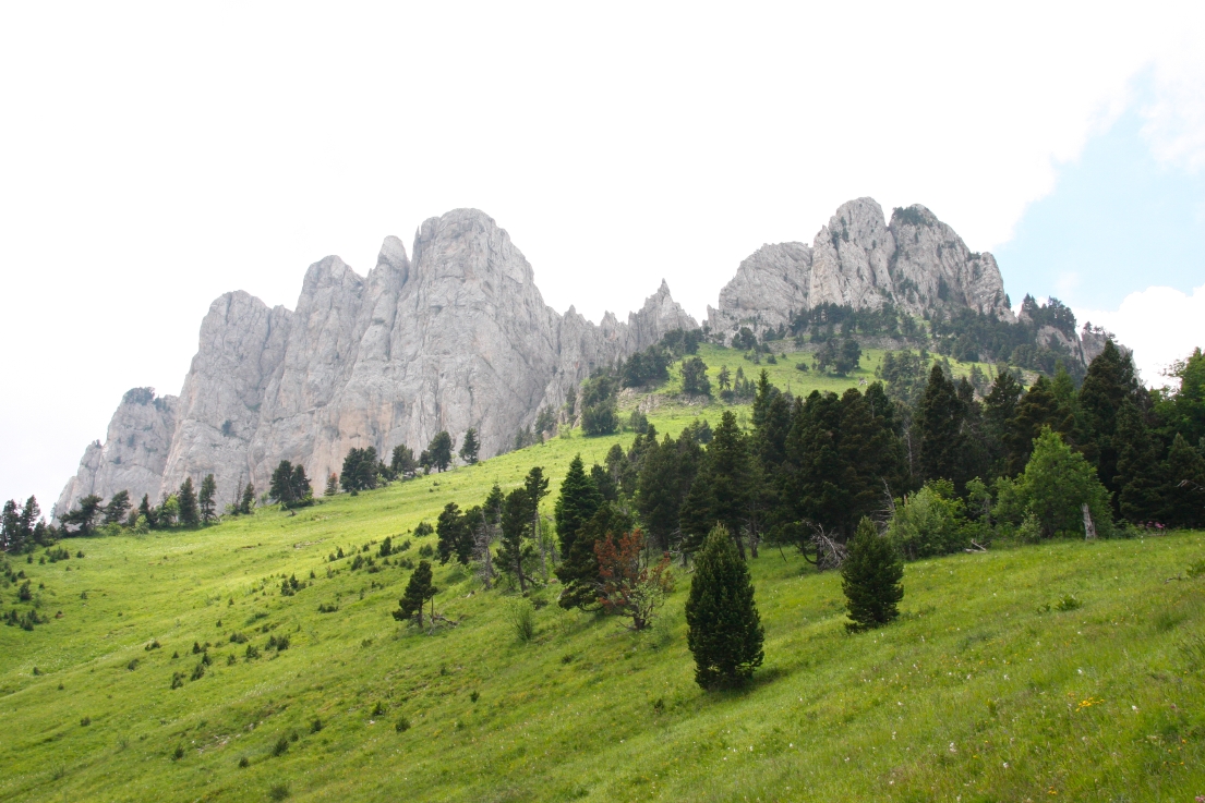
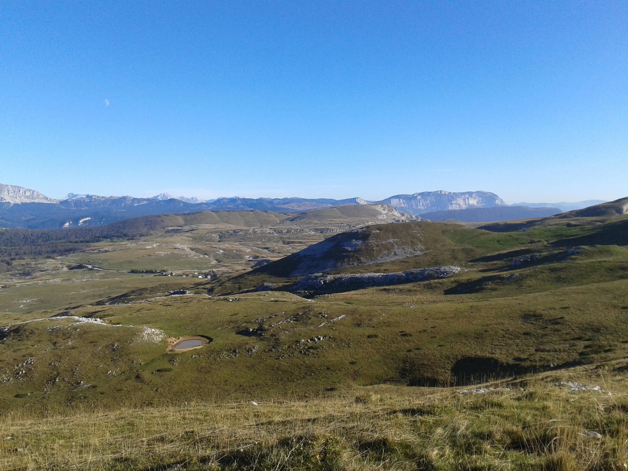
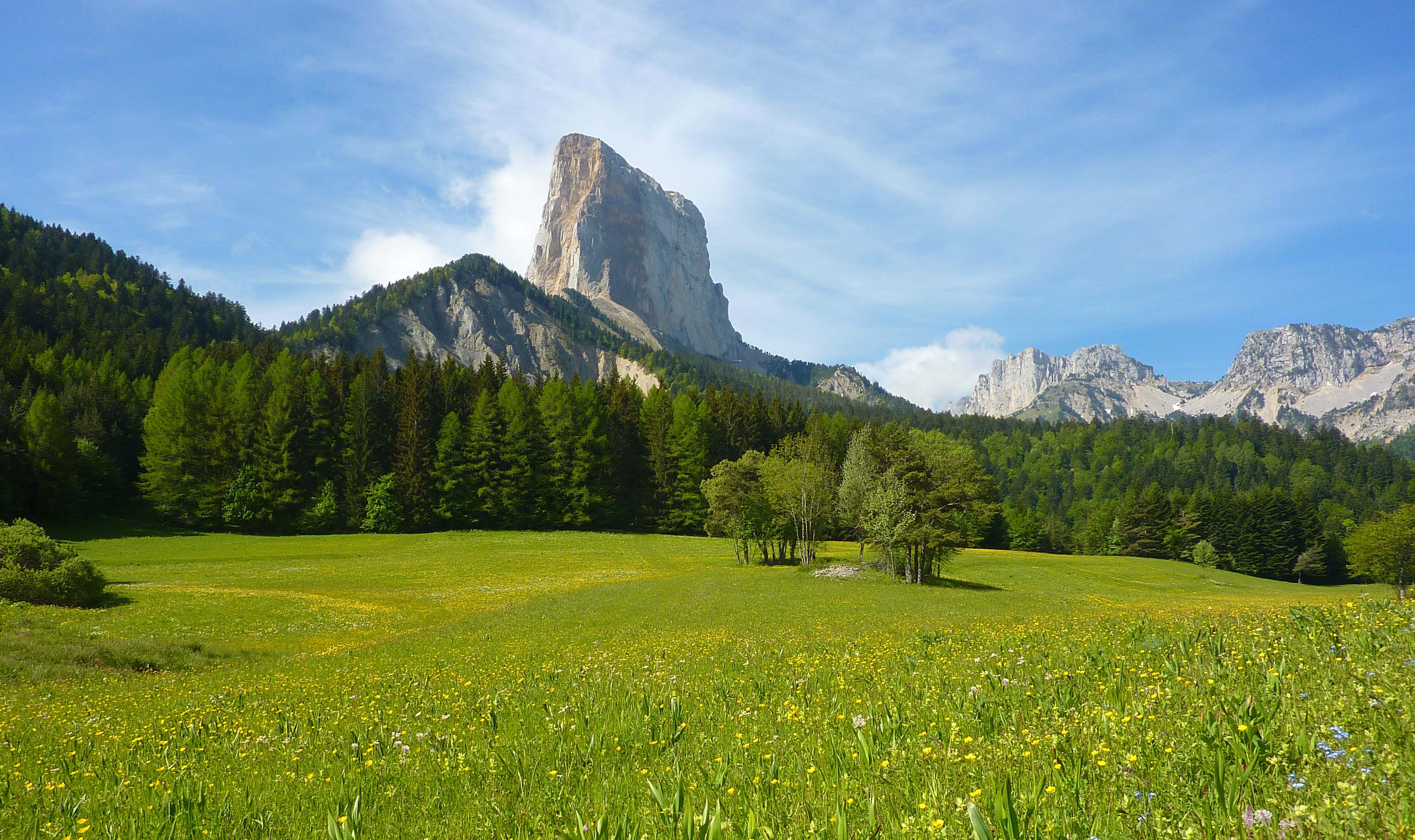
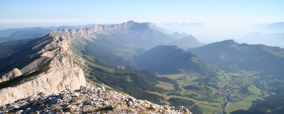
Ascent of the highest point of Vercors (2341m), for a 360 degree panorama. This is a fairly challenging hike, where you may have the chance to observe ibex, marmots, and sometimes even vultures.

Already more than 200,000 users!
Uphill
1022m
Highest point
2323m
Downhill
1022m
Lowest point
1337m
Route type
Loop
Download the map on your smartphone to save battery and rest assured to always keep access to the route, even without signal.
Includes IGN France and Swisstopo.
I indicate whether dogs are allowed or prohibited on this trail
From May to September
8 ratings
Randonnée avec des vues époustouflante, par contre plutôt difficile vu la distance et le niveau de dénivelé. Prévoir beaucoup d'eau !
Magnifique randonnée ! Beaucoup de dénivelé mais le niveau est correct. Nous avons vu des chamois, bouquetins et vautours.
Superbe randonnée réalisée mi septembre
https://youtu.be/8pB17Oq7F_k?si=TPSpzKiicx30HAsf
Dans les nuages dans la montée
Prévoir bonnet et gant
Vues dégagées et bouquetins dans la descente
Also enjoy:

Already more than 200,000 users!