Uphill
904m
France > Auvergne-Rhône-Alpes > Isère > Vercors Regional Natural Park
Length
11km
Duration
6h
Elev gain
904m
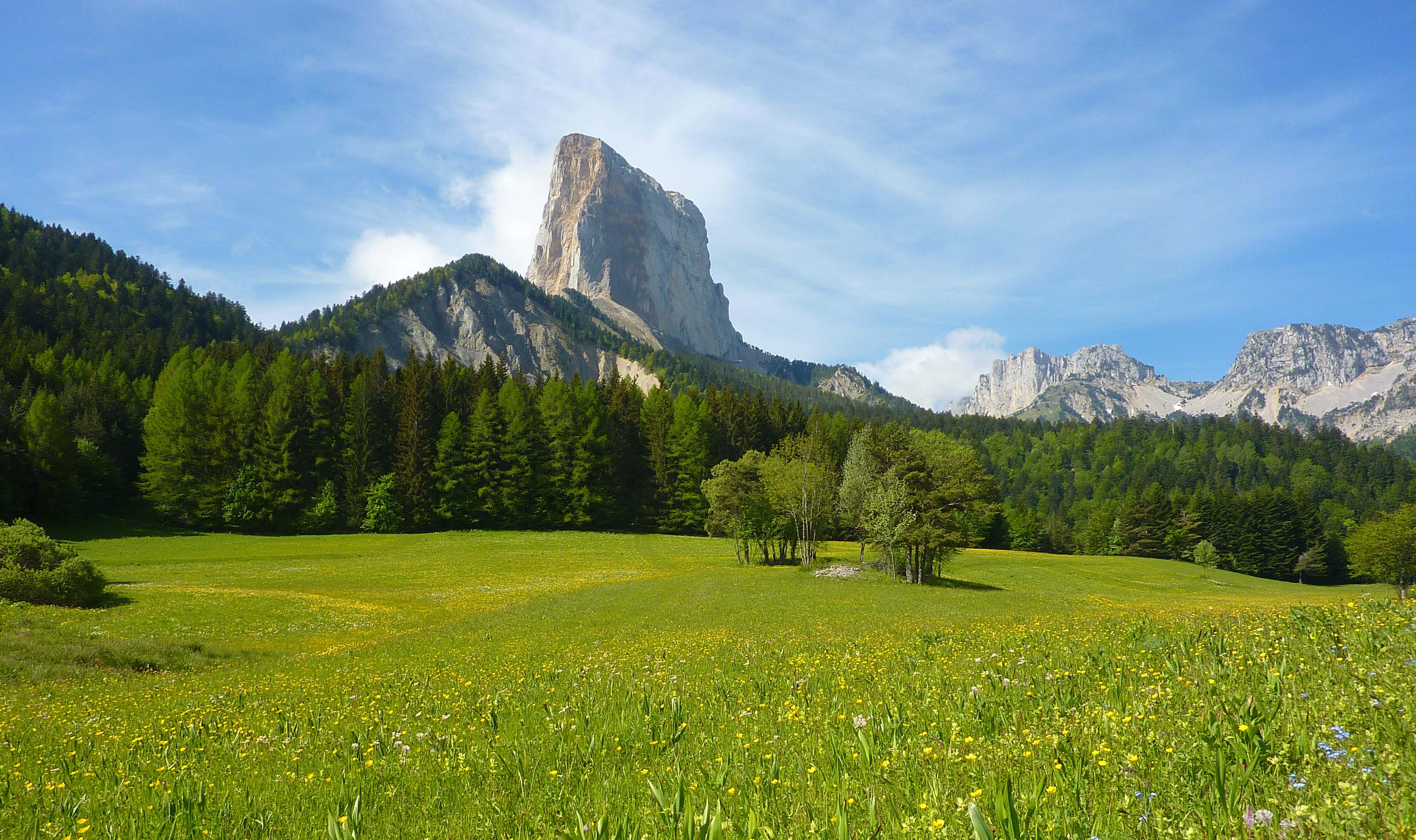
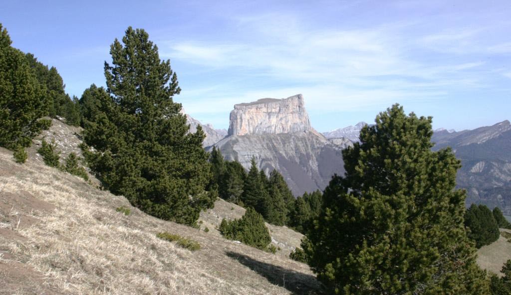
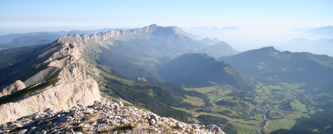
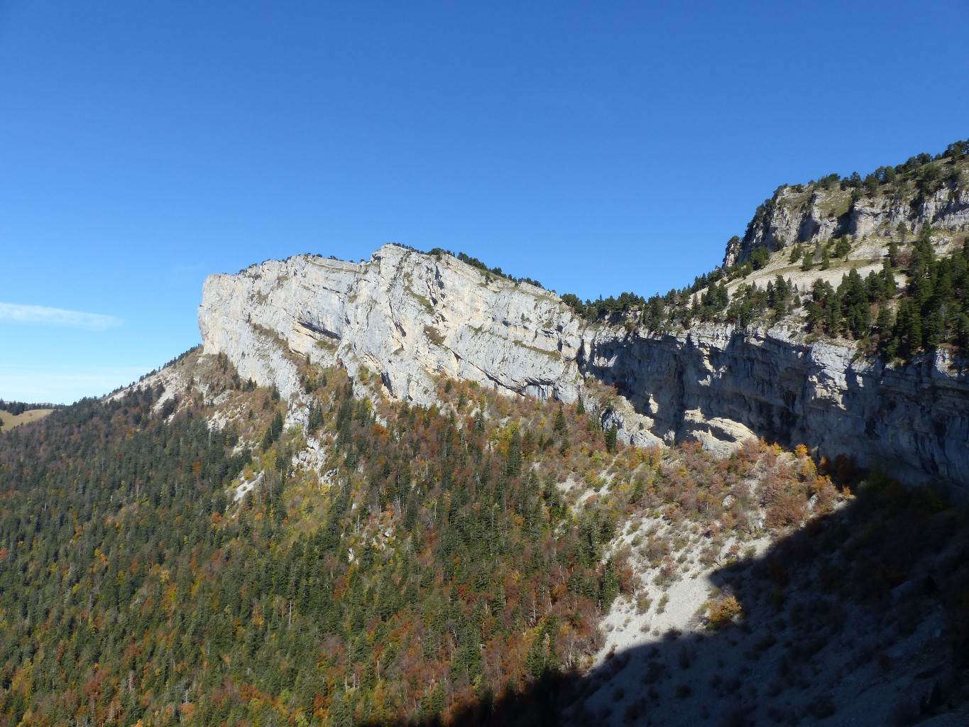
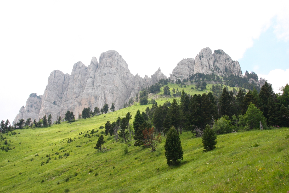
This loop offers a nice view on the high plateaus of Vercors, and on Mont Aiguille.

Already more than 200,000 users!
Uphill
904m
Highest point
1956m
Downhill
904m
Lowest point
1126m
Route type
Loop
Download the map on your smartphone to save battery and rest assured to always keep access to the route, even without signal.
Includes IGN France and Swisstopo.
I indicate whether dogs are allowed or prohibited on this trail
From May to October
0 ratings
Also enjoy:

Already more than 200,000 users!