Uphill
1066m
France > Auvergne-Rhône-Alpes > Drôme > Vercors Regional Natural Park
Length
18km
Duration
8h
Elev gain
1066m
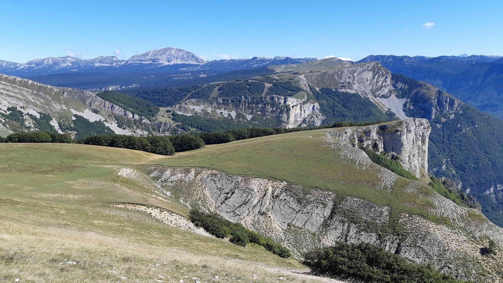
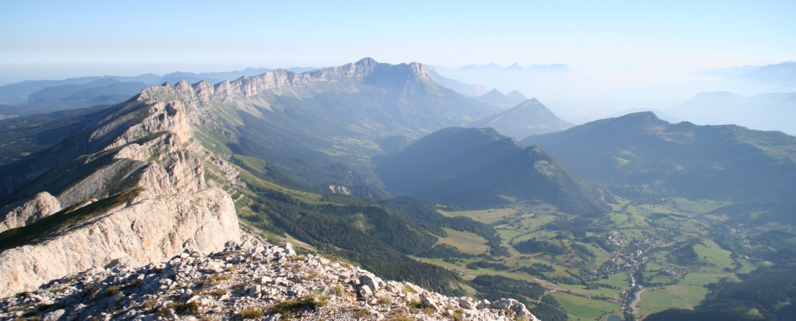
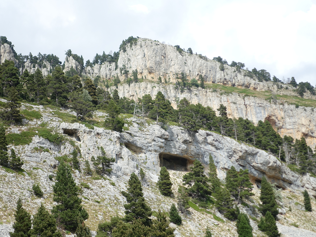
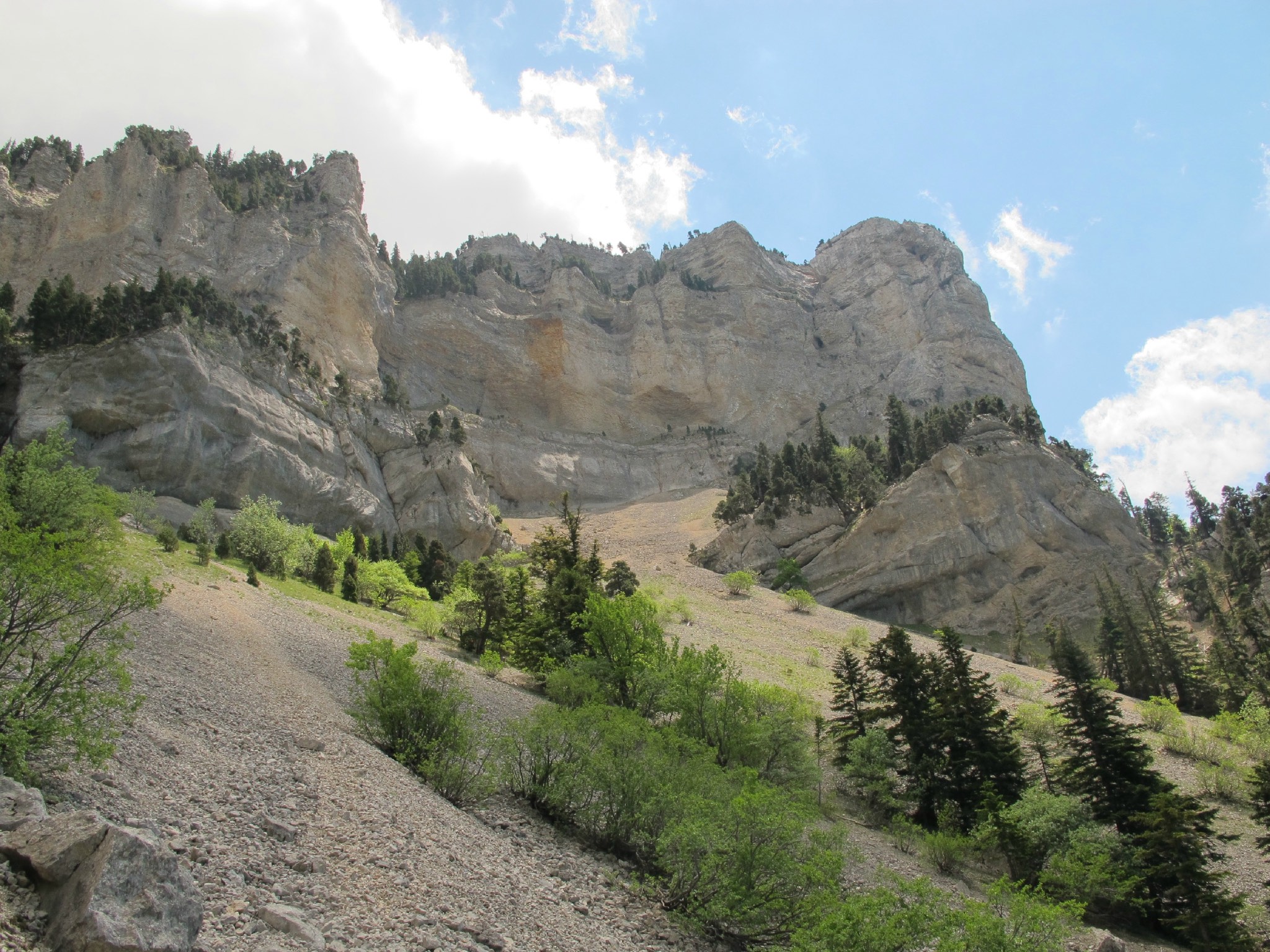
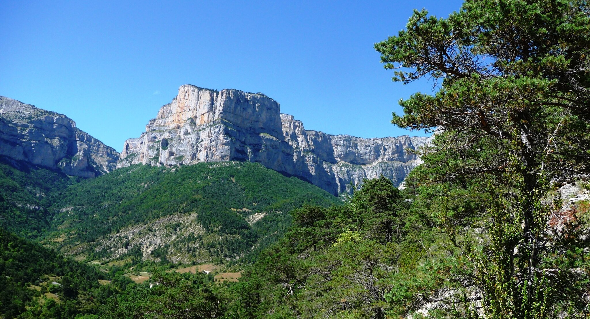
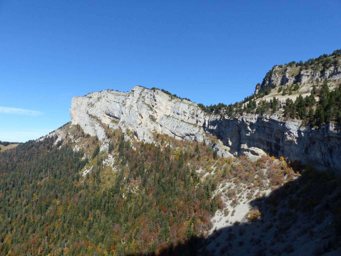
Nice hike from Romeyer. The path makes a loop around the rocks of Plautret (1,827m) and offers very beautiful viewpoints.

Already more than 200,000 users!
Uphill
1066m
Highest point
1682m
Downhill
1066m
Lowest point
989m
Route type
Loop
Download the map on your smartphone to save battery and rest assured to always keep access to the route, even without signal.
Includes IGN France and Swisstopo.
I indicate whether dogs are allowed or prohibited on this trail
From May to October
0 ratings
Also enjoy:

Already more than 200,000 users!