Uphill
381m
France > Auvergne-Rhône-Alpes > Drôme > Vercors Regional Natural Park
Length
6km
Duration
3h
Elev gain
381m
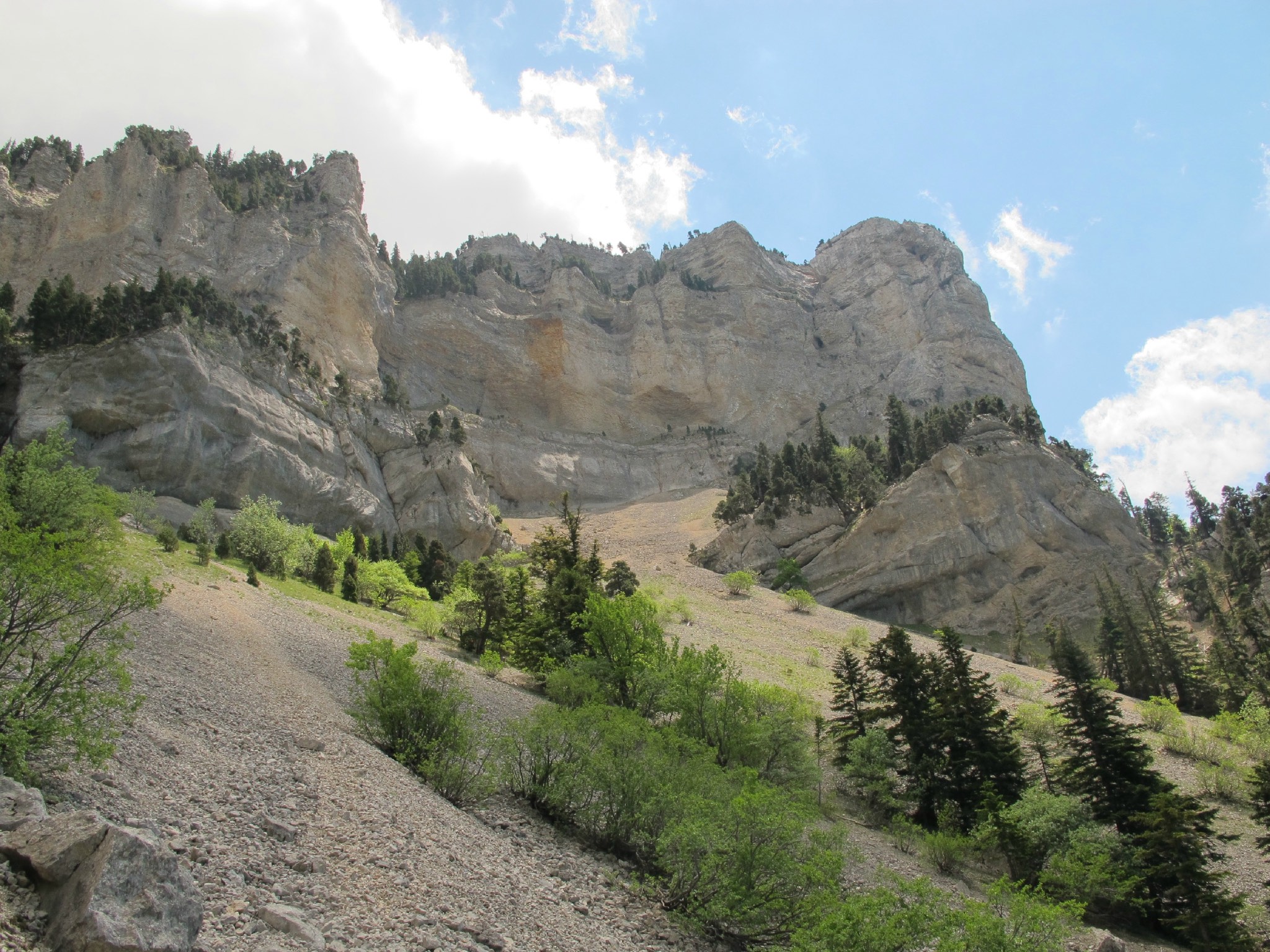
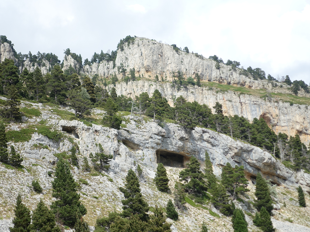
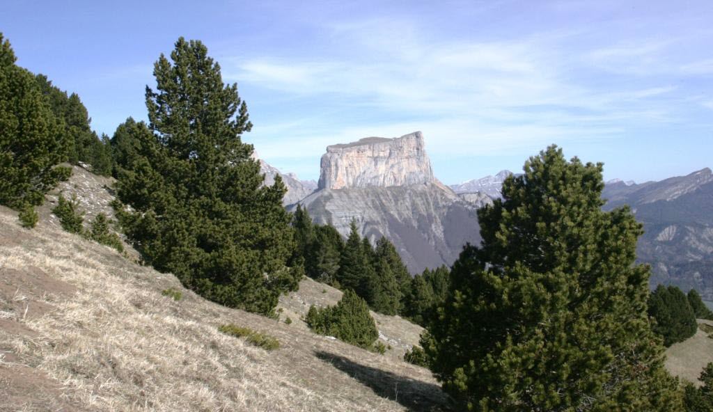
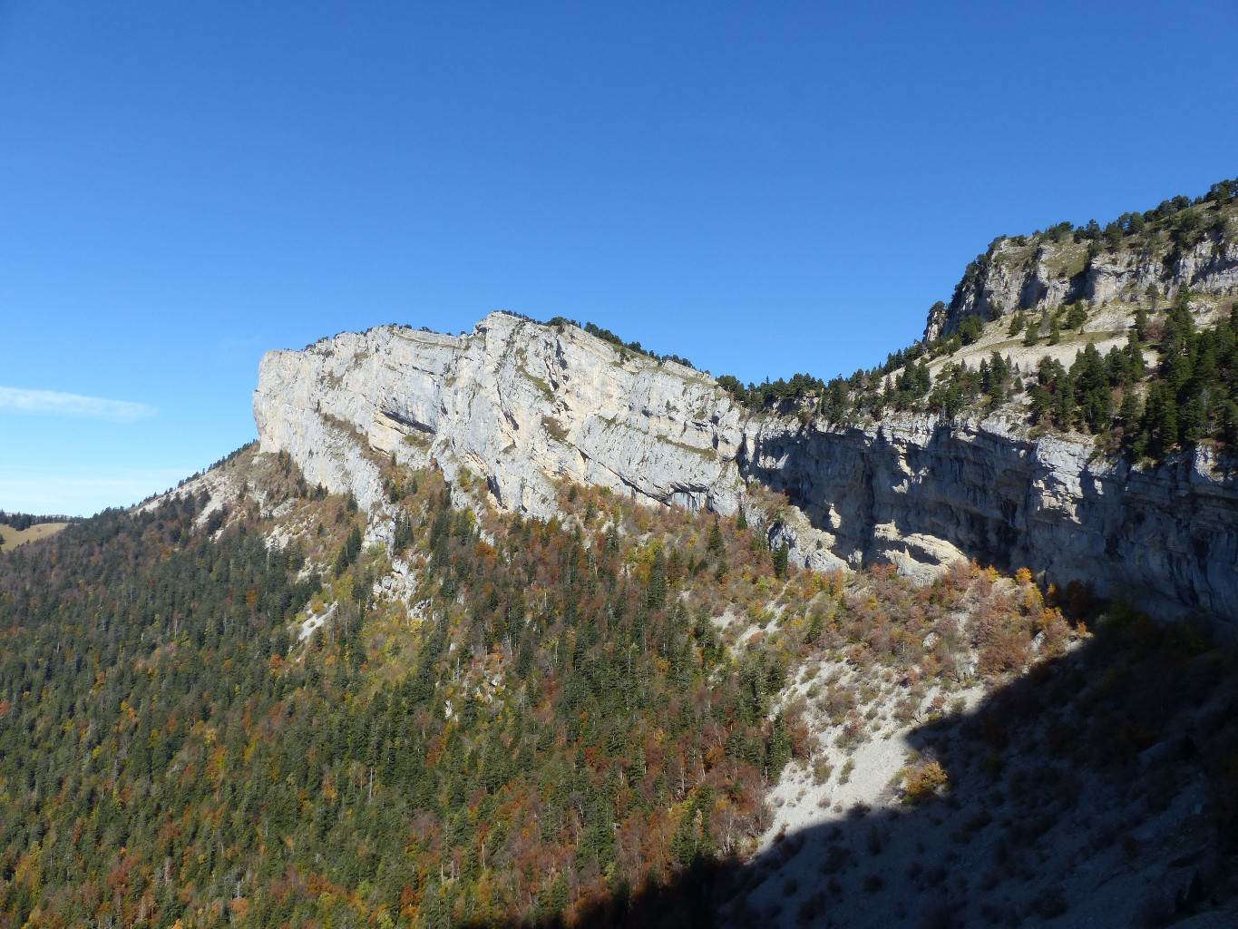
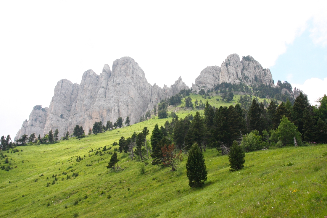
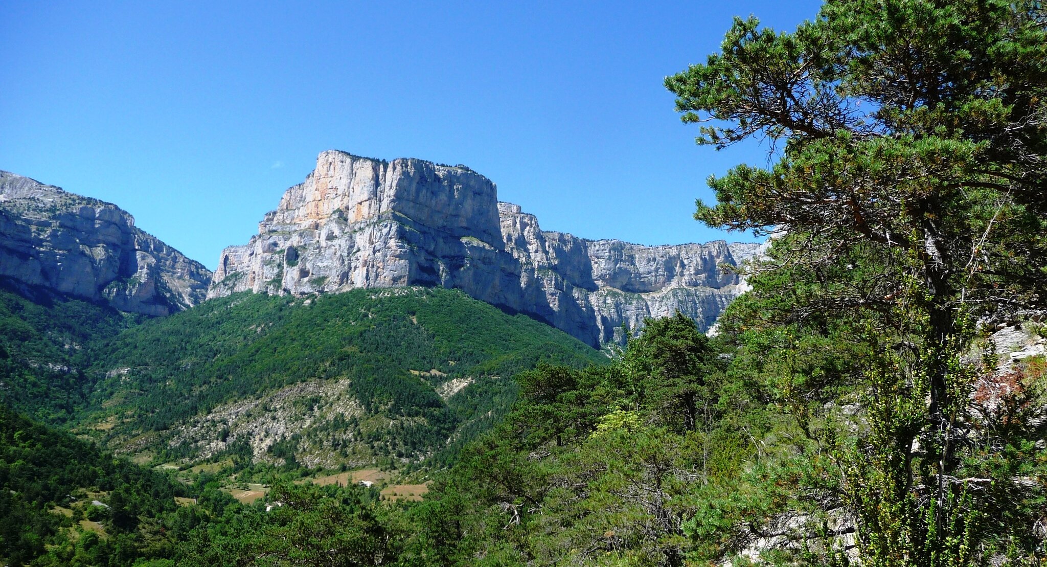
Walk in the forest in the heart of the Archiane cirque, revealing impressive cliffs.

Already more than 200,000 users!
Uphill
381m
Highest point
1134m
Downhill
381m
Lowest point
755m
Route type
Loop
Download the map on your smartphone to save battery and rest assured to always keep access to the route, even without signal.
Includes IGN France and Swisstopo.
I indicate whether dogs are allowed or prohibited on this trail
All year
0 ratings
Also enjoy:

Already more than 200,000 users!