Uphill
1020m
France > Auvergne-Rhône-Alpes > Isère > Vercors Regional Natural Park
Length
16km
Duration
7h30min
Elev gain
1020m
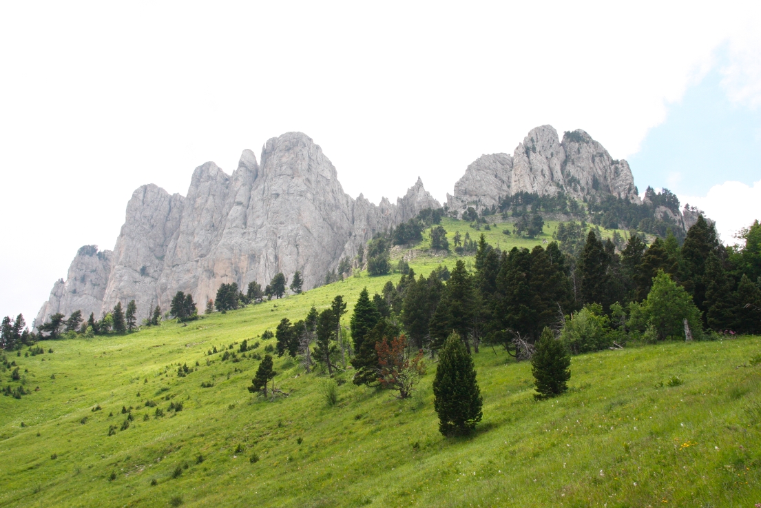
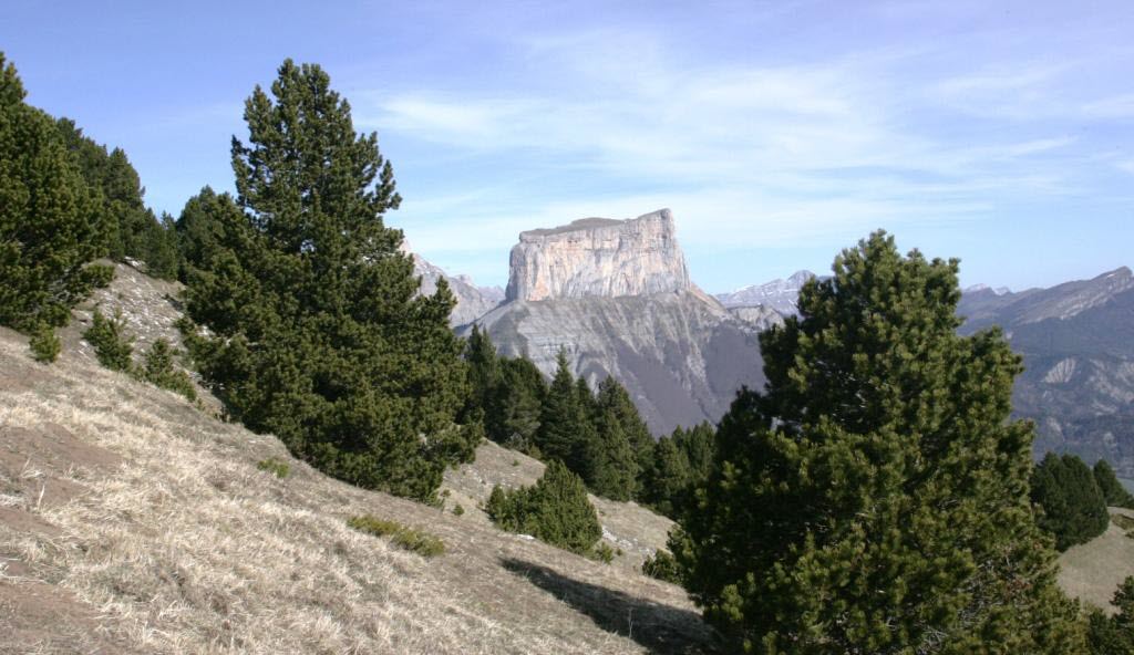
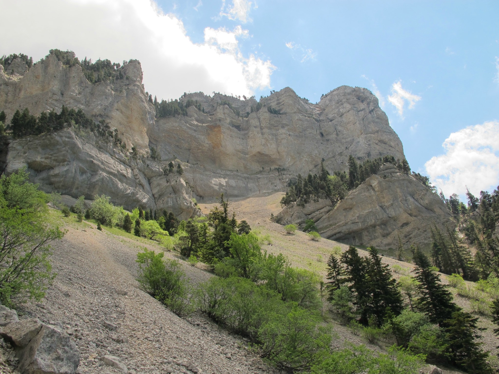
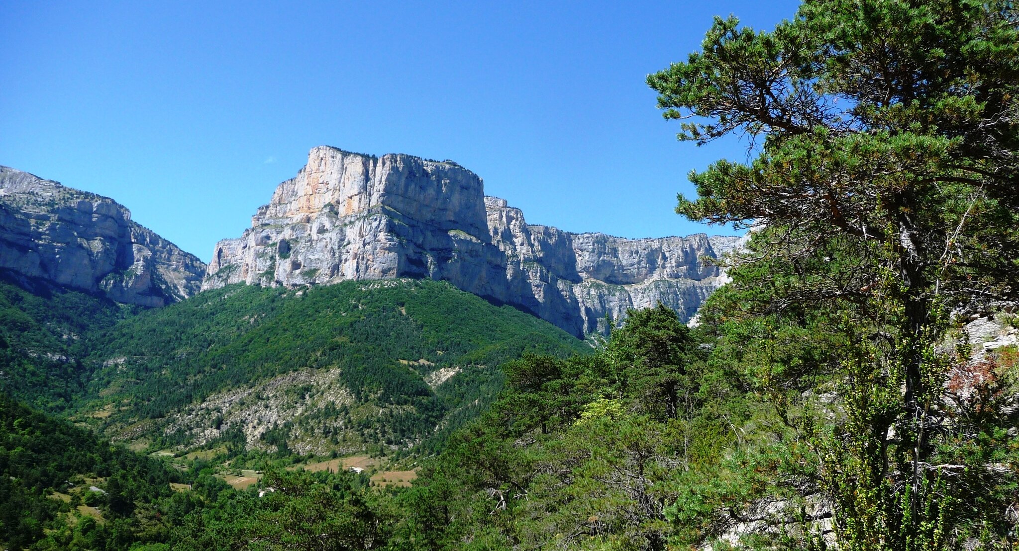
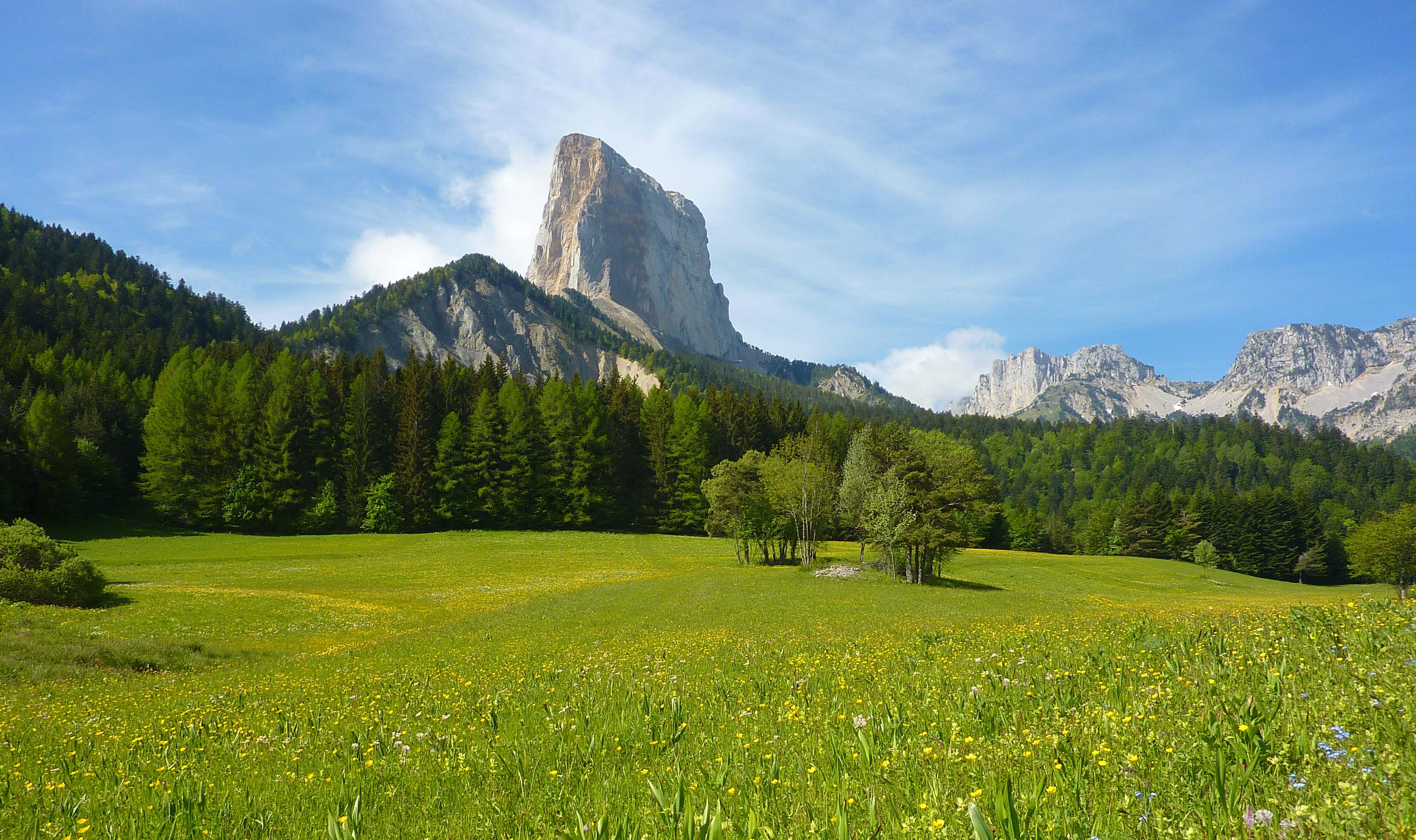
There is no shortage of beautiful hikes in Vercors, but if we had to pick just one, then we would choose the tour of Mont Aiguille.
This loop trail allows you to admire from all angles a spectacular mountain, considered one of the seven wonders of the Dauphiné. The landscapes are wild, between undergrowth and meadows. A delight.

Already more than 200,000 users!
Uphill
1020m
Highest point
1714m
Downhill
1020m
Lowest point
975m
Route type
Loop
Download the map on your smartphone to save battery and rest assured to always keep access to the route, even without signal.
Includes IGN France and Swisstopo.
I indicate whether dogs are allowed or prohibited on this trail
From May to October
6 ratings
Magnifique rando et très belle vue.
Beaucoup de sous bois et une bonne grosse montée.
Effectué en moins de 5h hors pause
Très beau paysage, le mont aiguille est impressionnant !
Le sentier passe par un restaurant vers la fin, parfait pour se déshydrater et prendre une glace 😋
Also enjoy:

Already more than 200,000 users!