Uphill
379m
France > Auvergne-Rhône-Alpes > Isère
Length
12km
Duration
4h
Elev gain
379m
Here is an original hike that can be done in one way or the other, the return being possible by boat from May to September!
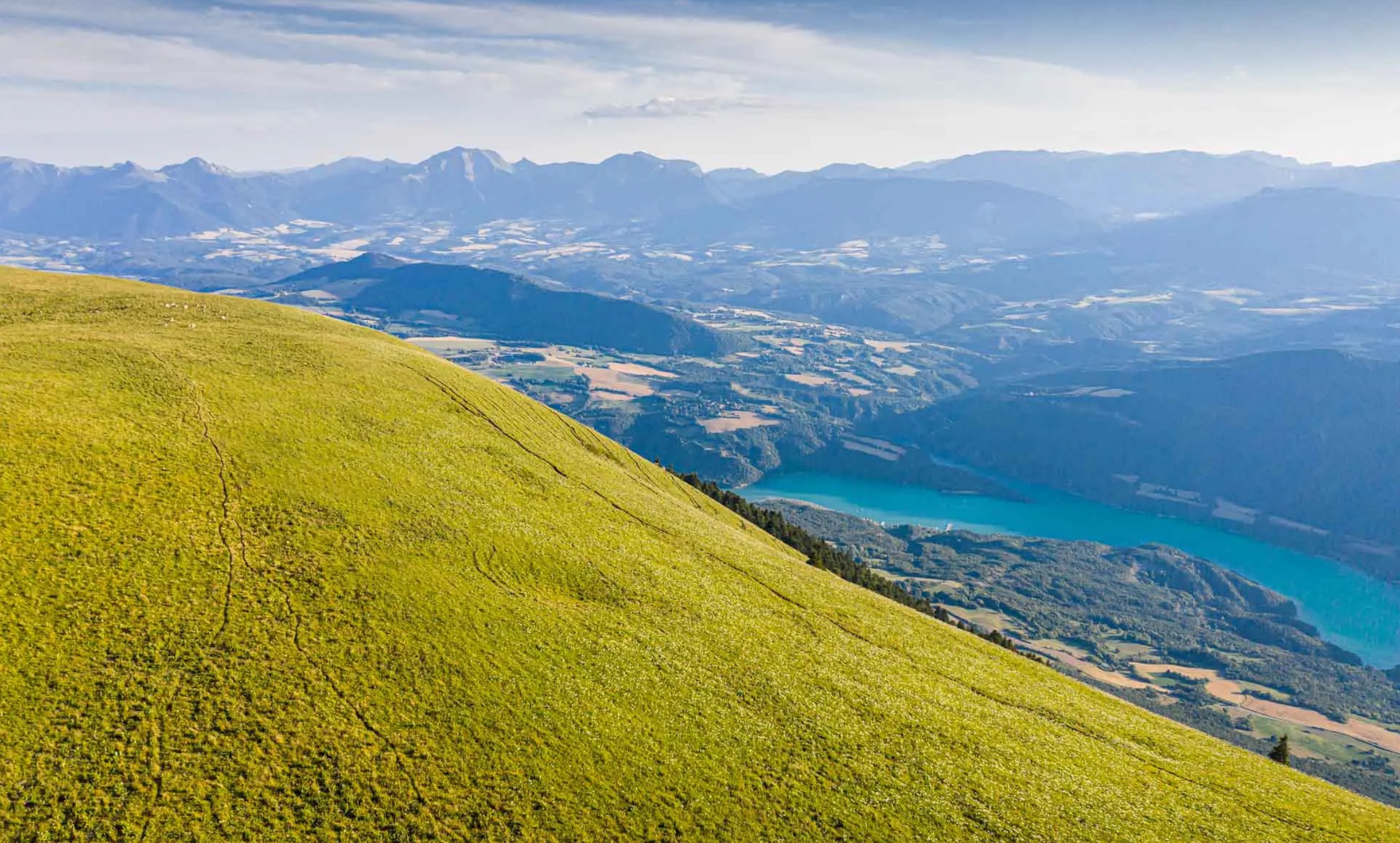
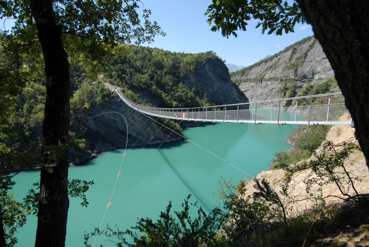
The trail allows you to discover the spectacular Himalayan footbridges of Ebron and Drac, overlooking the turquoise waters of Lac de Monteynard.

Already more than 200,000 users!
Uphill
379m
Highest point
693m
Downhill
400m
Lowest point
483m
Route type
One way
Download the map on your smartphone to save battery and rest assured to always keep access to the route, even without signal.
Includes IGN France and Swisstopo.
Parkings at both ends of the hike, which can be done either way.
Boats connect both ends from May to September, and it is best to check availability in advance.
I indicate whether dogs are allowed or prohibited on this trail
All year
6 ratings
Also enjoy:

Already more than 200,000 users!