Uphill
184m
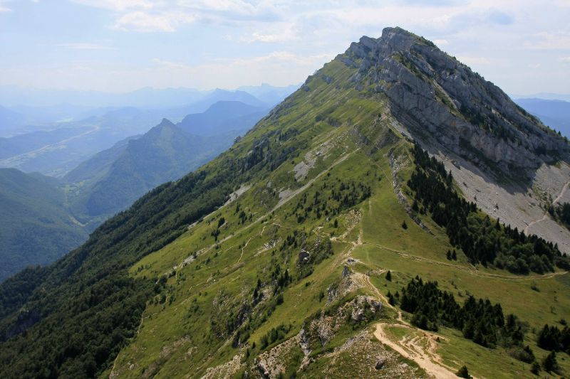
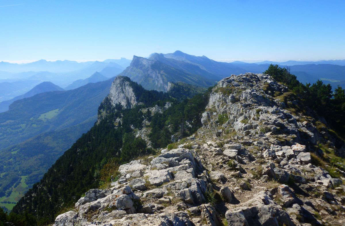
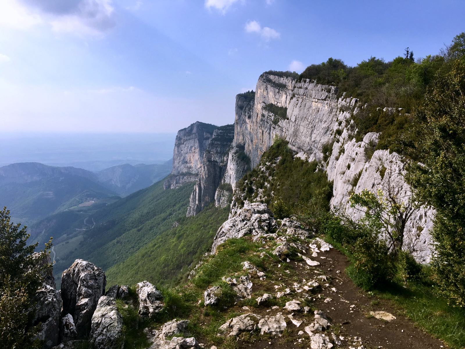
France > Auvergne-Rhône-Alpes > Isère > Vercors Regional Natural Park
Length
4km
Duration
1h30min
Elev gain
184m
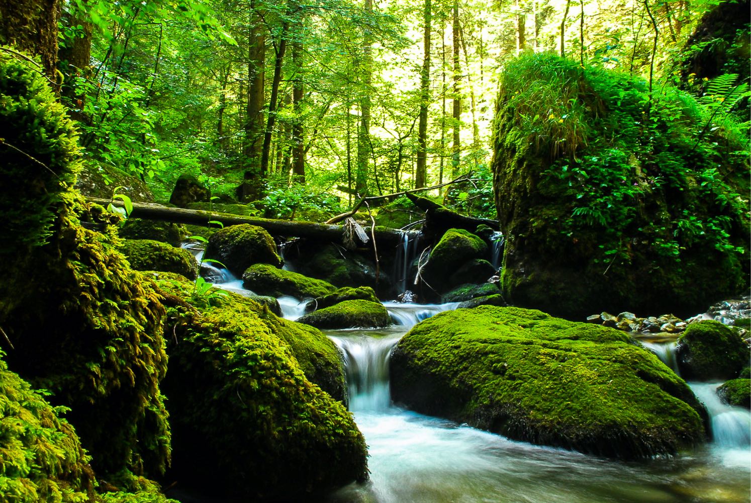
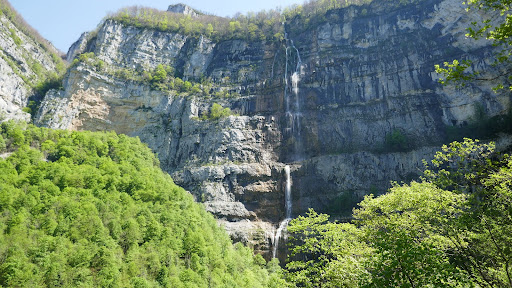
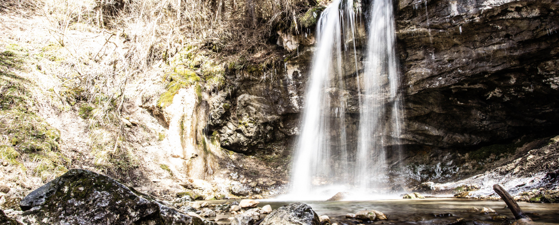
Departing from Villard-de-Lans, this trail follows the Chemin de Bois Damier and the Pont de l'Amour to the pretty La Fauge waterfall. Ideal family outing.

Already more than 200,000 users!
Uphill
184m
Highest point
1245m
Downhill
184m
Lowest point
1076m
Route type
Loop
Download the map on your smartphone to save battery and rest assured to always keep access to the route, even without signal.
Includes IGN France and Swisstopo.
I indicate whether dogs are allowed or prohibited on this trail
Can be difficult in Winter
1 rating
Also enjoy:

Already more than 200,000 users!