Uphill
680m
France > Auvergne-Rhône-Alpes > Isère > Vercors Regional Natural Park
Length
8km
Duration
4h30min
Elev gain
680m
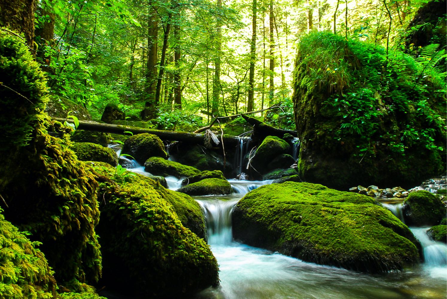
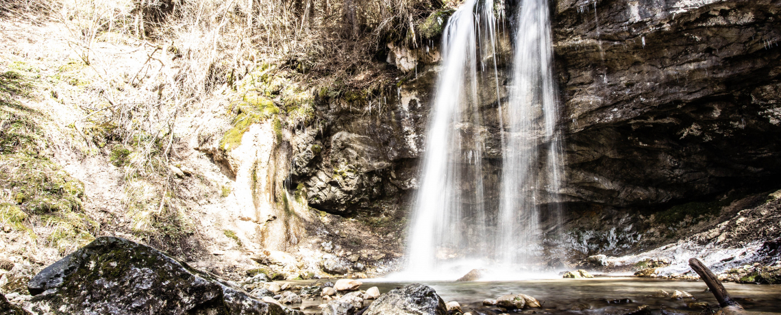
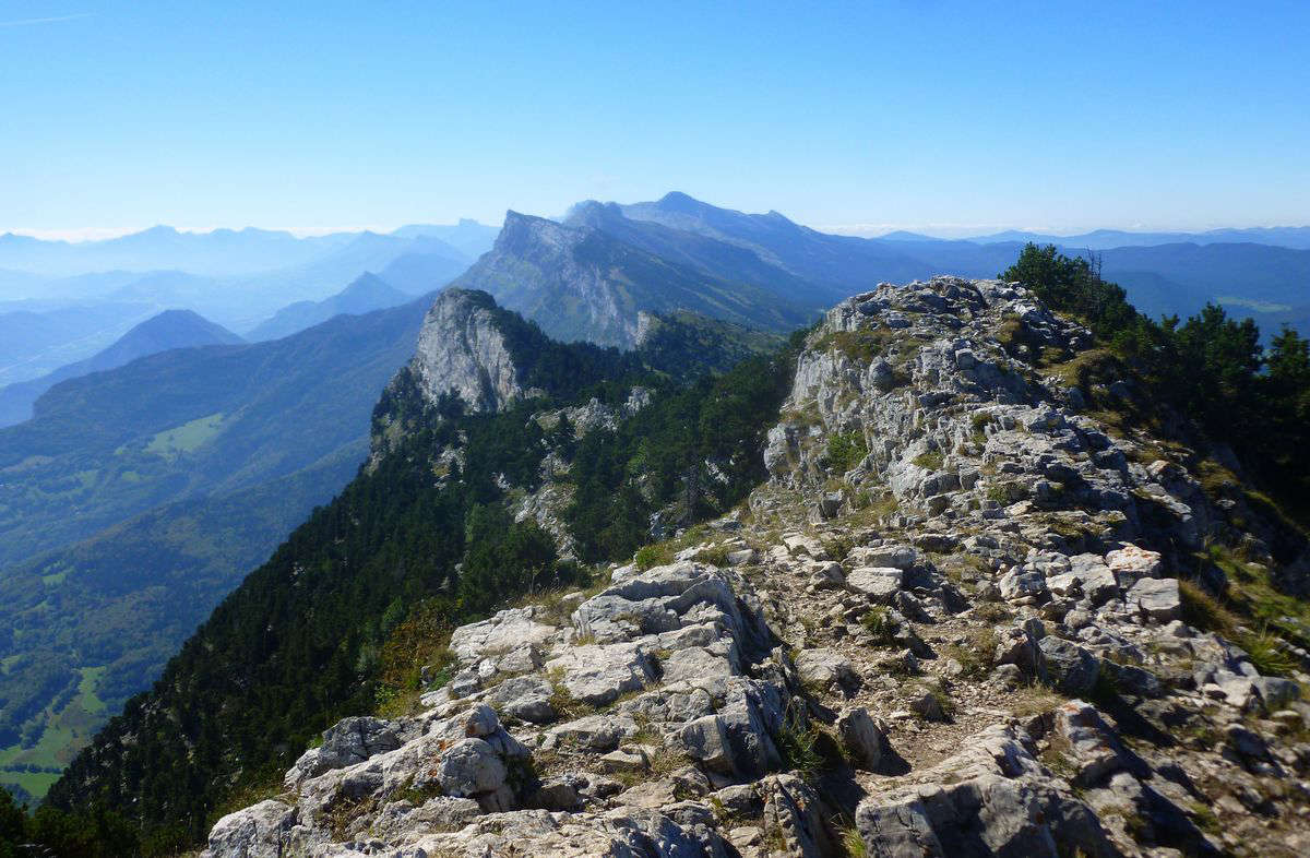
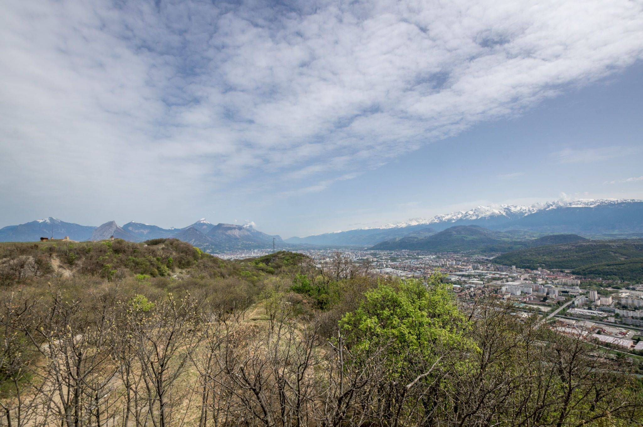
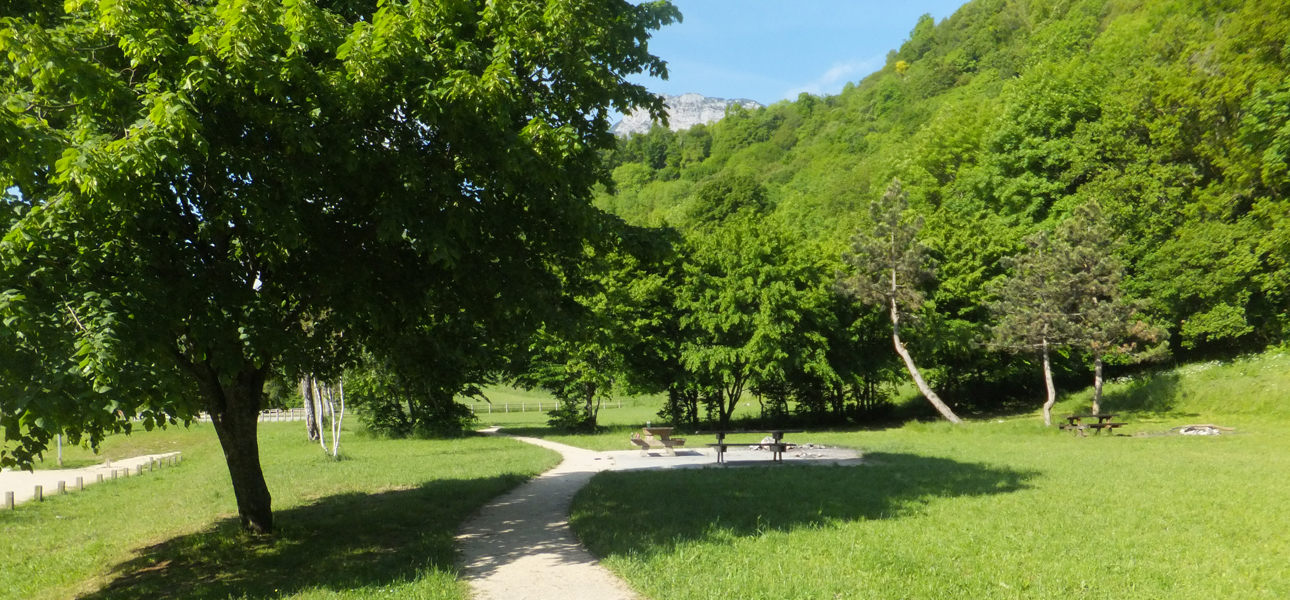
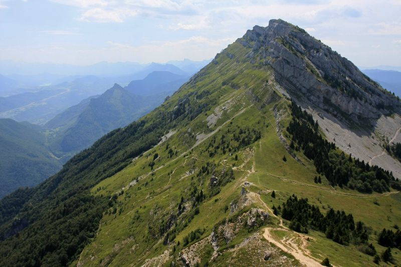
Climb on the ridge separating the Gresse valley and the Lans-en-Vercors plateau, in a wooded and wild environment. Beautiful panorama of the surrounding peaks.
Note that this is a pastoral area, and it is possible to come across herds and guard dogs in summer.

Already more than 200,000 users!
Uphill
680m
Highest point
1933m
Downhill
680m
Lowest point
1277m
Route type
Loop
Download the map on your smartphone to save battery and rest assured to always keep access to the route, even without signal.
Includes IGN France and Swisstopo.
Authorised on a leash
From May to October
6 ratings
Randonnée magnifique et arrivée au col vue splendide. Pas trop de difficultés mais bien commencer par le col de l’arc car la montée est plus facile par là.
Also enjoy:

Already more than 200,000 users!