Uphill
240m
Length
5km
Duration
2h
Elev gain
240m
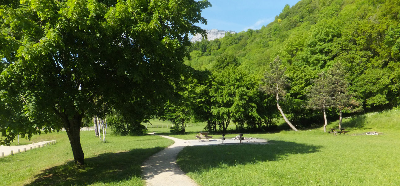
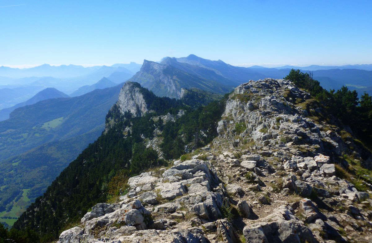
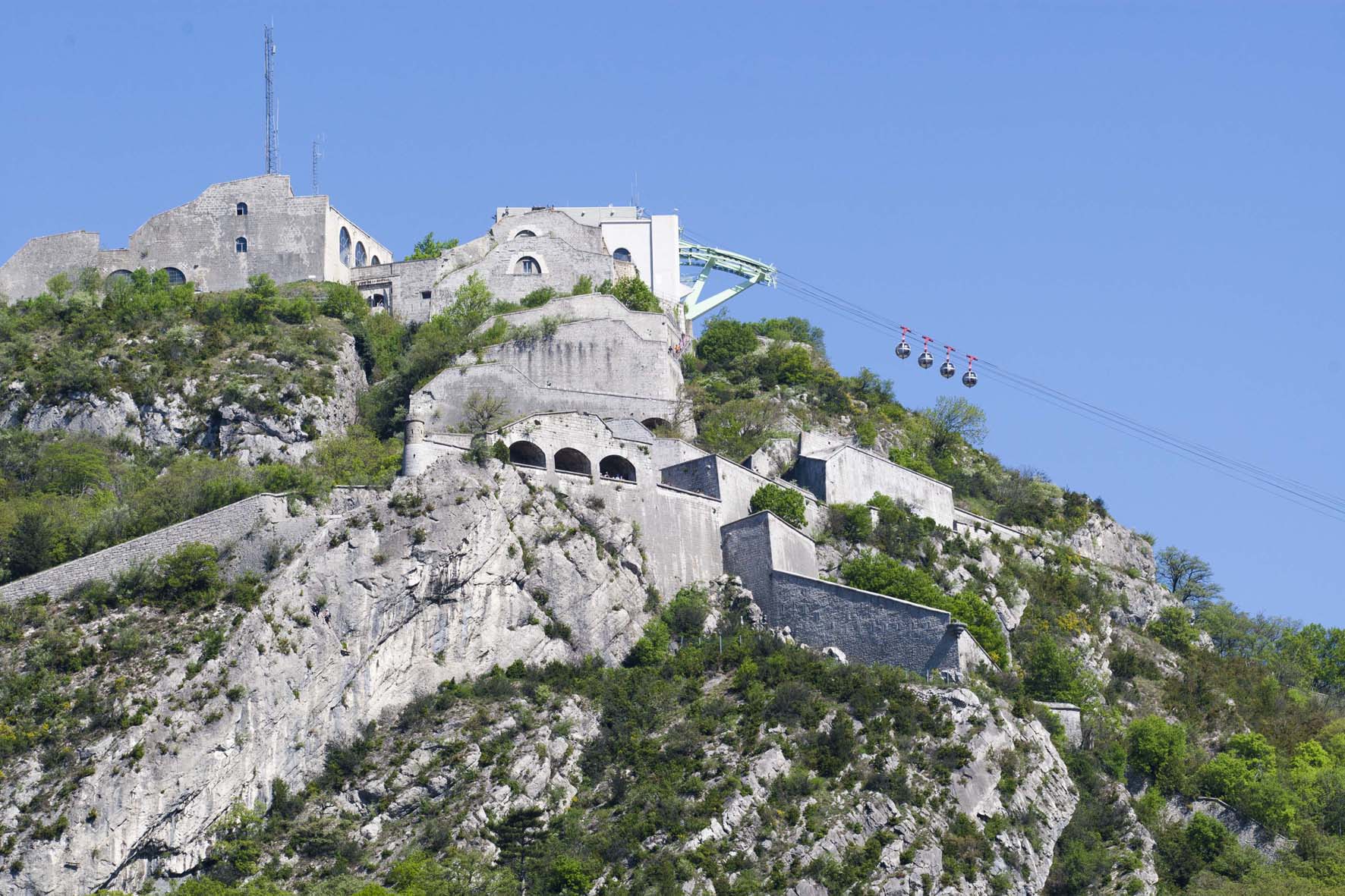
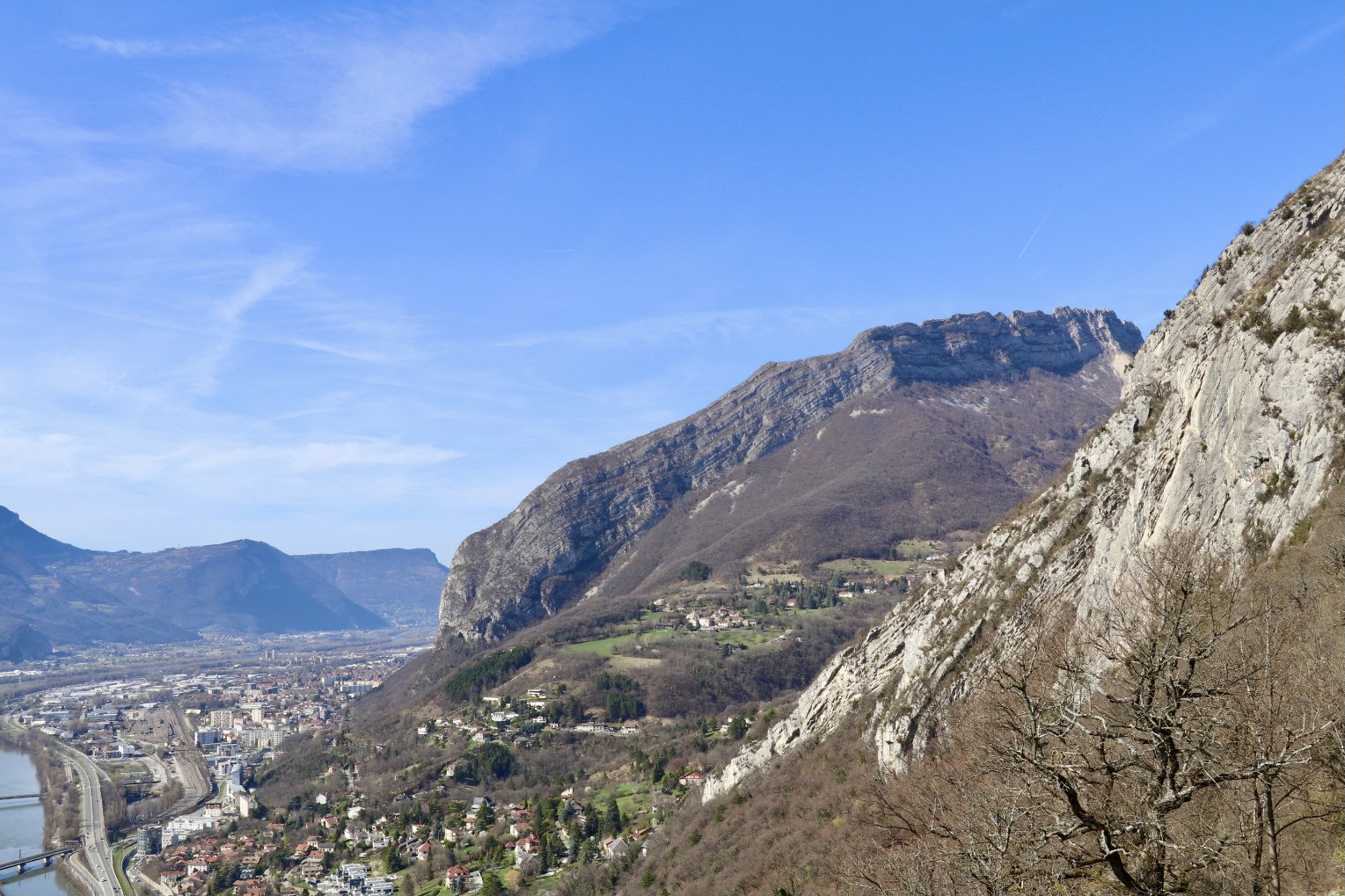
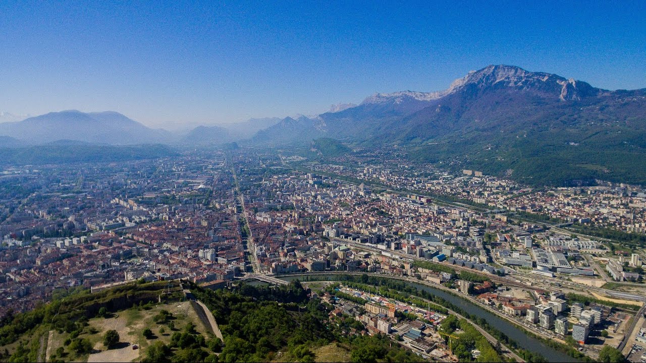
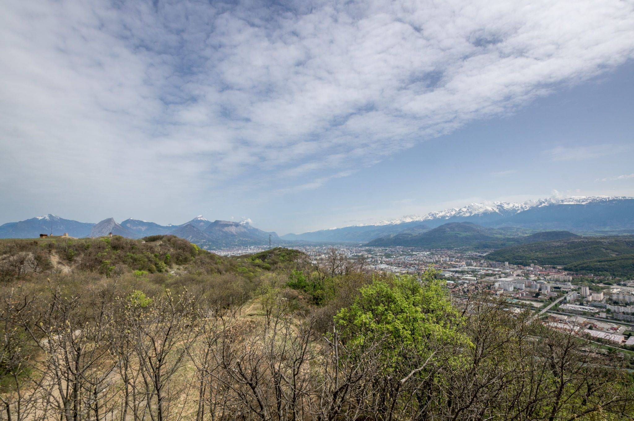
This walk in the immediate vicinity of Grenoble offers a nice view of the city and the surrounding mountains, and has the advantage of being easily accessible by public transport.

Already more than 200,000 users!
Uphill
240m
Highest point
515m
Downhill
240m
Lowest point
340m
Route type
Loop
Download the map on your smartphone to save battery and rest assured to always keep access to the route, even without signal.
Includes IGN France and Swisstopo.
I indicate whether dogs are allowed or prohibited on this trail
All year
0 ratings
Also enjoy:

Already more than 200,000 users!