Uphill
289m
Length
3km
Duration
2h
Elev gain
289m
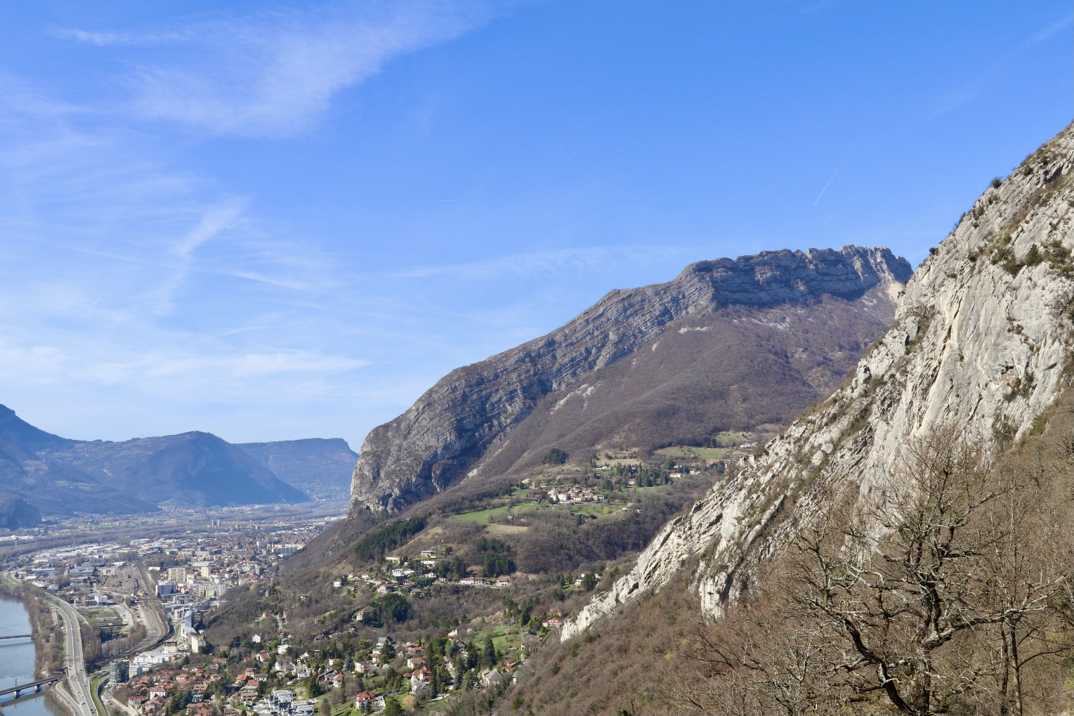
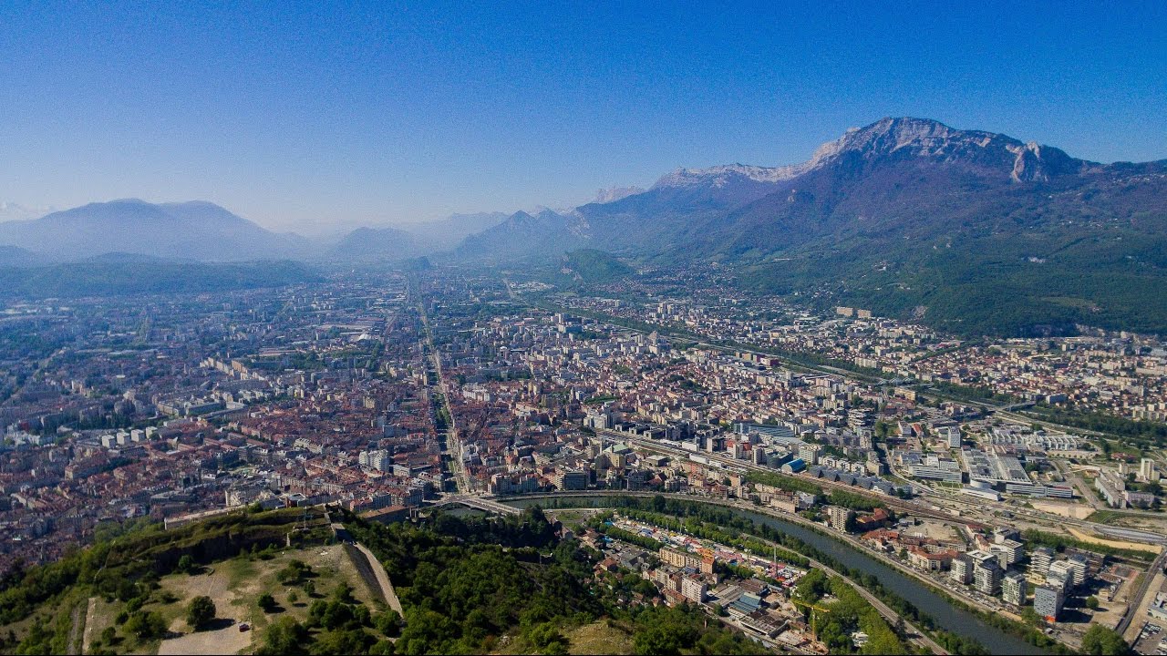
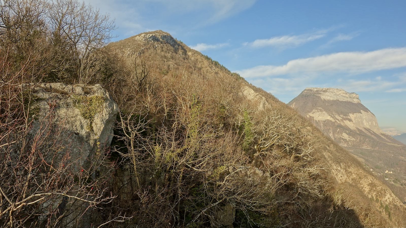
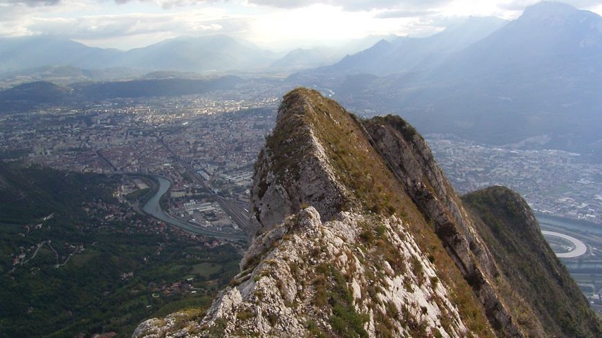
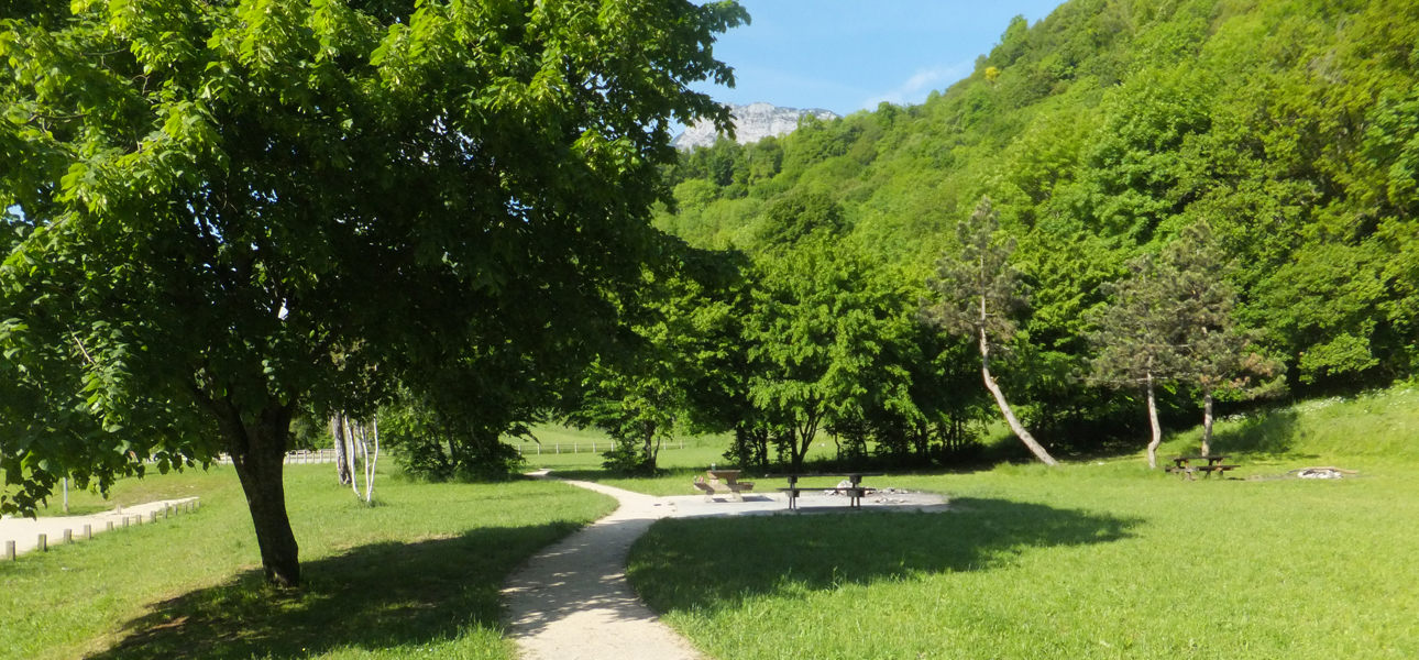
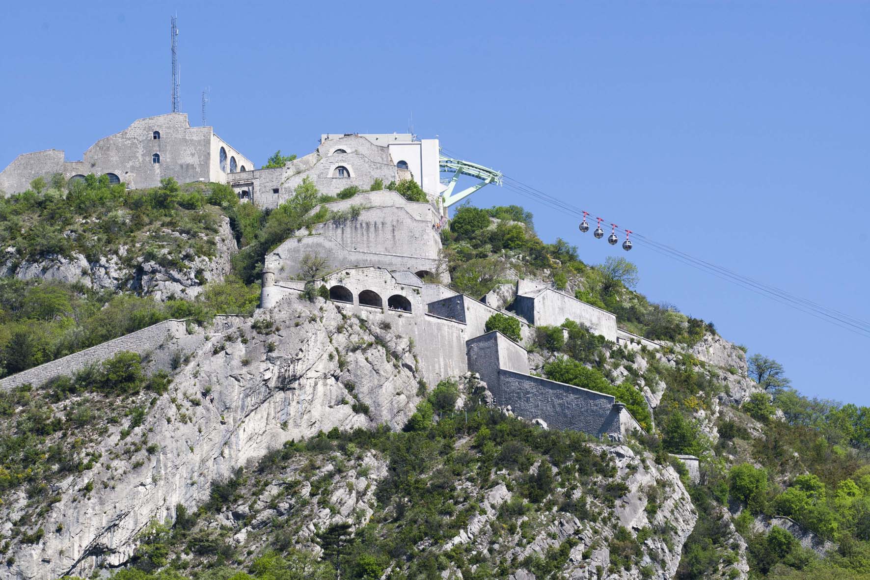
Departing from the Isère quays, a round trip to Fort de la Bastille which offers a superb panorama of Grenoble. The path is via the Jardin des Dauphins, which undeniably has a Mediterranean feel.

Already more than 200,000 users!
Uphill
289m
Highest point
487m
Downhill
289m
Lowest point
215m
Route type
There and back
Download the map on your smartphone to save battery and rest assured to always keep access to the route, even without signal.
Includes IGN France and Swisstopo.
I indicate whether dogs are allowed or prohibited on this trail
All year
0 ratings
Also enjoy:

Already more than 200,000 users!